Seneca Creek State Park Boat Ramp
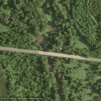
Seneca Creek State Park Boat Ramp
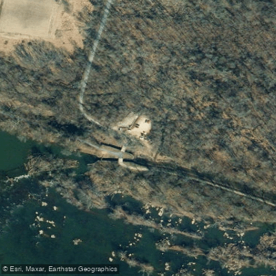
This Route 28 parking lot provides convenient access to Seneca Creek for both wading and paddling, with a hand-launch boat ramp suitable for canoes and kayaks during wet weather periods when water levels are adequate (check USGS gauge at MD-28, which should read 2.
1 feet). The site offers paved parking and serves as a put-in point for paddling trips downstream to Riley's Lock, approximately a two-hour paddle away.
Nearby points of interest
Find excellent paddling spots, easy access to boat ramps, and all the amenities you need for a memorable day. Your adventure starts here.

Water and weather conditions (10 day forecast)
Check the forecast at Seneca Creek State Park Boat Ramp before you go paddling.
No forecast data available.
Paddling near Seneca Creek State Park Boat Ramp
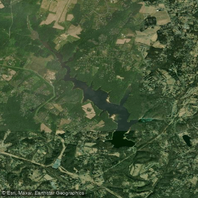
Triadelphia Reservoir

Potomac River
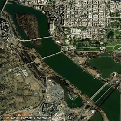
Georgetown Channel
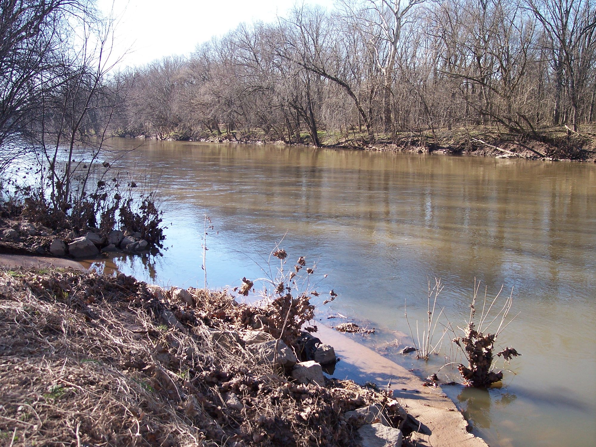
Monocacy River

Patuxent River
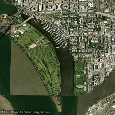
Washington Channel
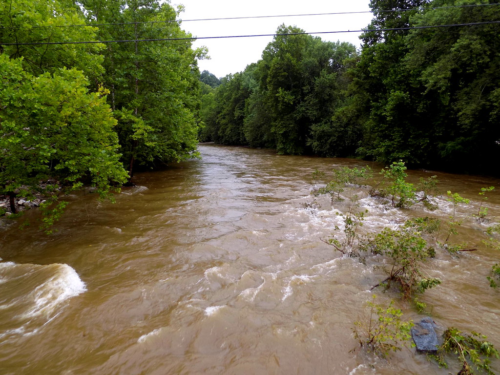
Patapsco River
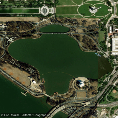
Tidal Basin
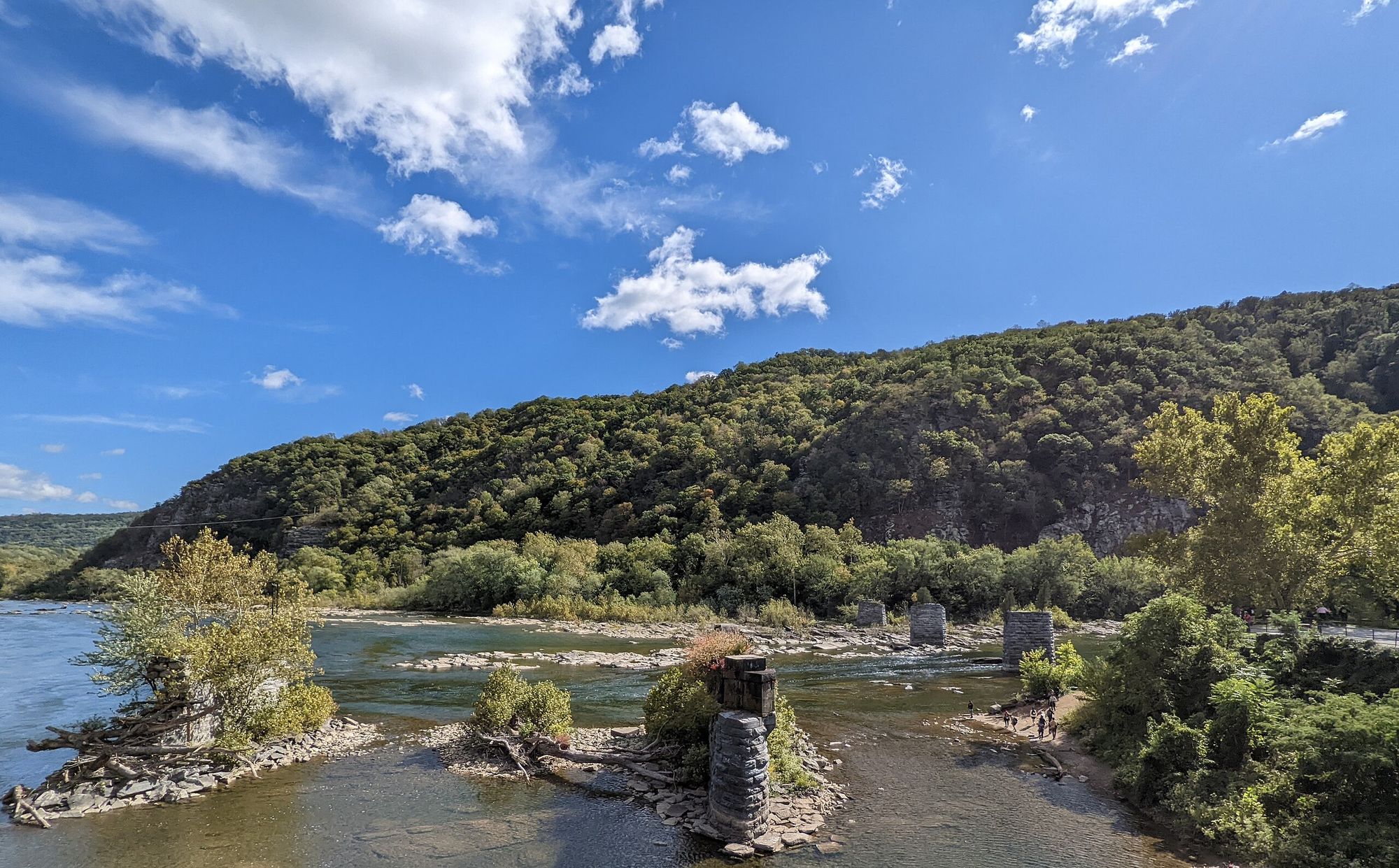
Shenandoah River
Maryland licenses and regulations
Explore Maryland waters
Top paddling waters
No waters available right now.
Popular Cities
Loading popular cities...
Explore near Seneca Creek State Park Boat Ramp
Nearby spots
- Berryville Road Boat Ramp
- Black Hill Regional Park Boat Ramp
- Lewis Road Boat Ramp
- Pennyfield Lock Boat Ramp
- Pennyfield Lock Canal Boat Ramp
- Shadding Reach Boat Ramp
- Shepherdstown Pike Bridge Boat Ramp
- Sycamore Landing Boat Ramp
- Violettes Lock/Lock 23 Boat Ramp
- Black Rock Mill Access
- Seneca Creek Park Access
- Seneca Creek State Park Access
- All 24 nearby spots
Nearby waters
More in Maryland

Smarter Paddling Starts in the App.
Paddleways gives you everything you need to plan smarter, paddle better, and own every trip from first launch to takeout.