Williamsport Boat Ramp
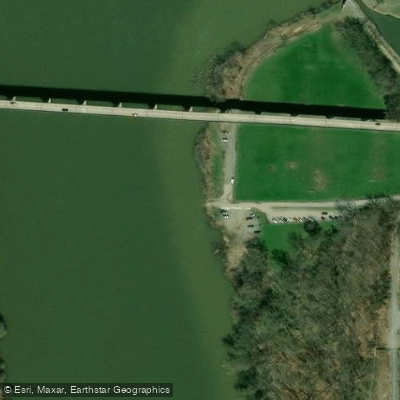
Williamsport Boat Ramp
Williamsport Boat Ramp offers a single concrete ramp (30 feet wide) with a large paved parking lot featuring 8 car spaces and 6 trailer spaces, located at River Bottom Park off West Salisbury Road. Note that access requires driving over a narrow 9.
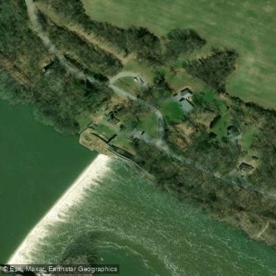
5-foot-wide bridge, and boaters must exit the river at this point as it is directly upstream from Dam #5, a river hazard. The ramp provides access to good fishing areas upstream including Conococheague Creek, and is located at mile marker 99.
8 of the C&O Canal Towpath.
Nearby points of interest
Find excellent paddling spots, easy access to boat ramps, and all the amenities you need for a memorable day. Your adventure starts here.
Water and weather conditions (10 day forecast)
Check the forecast at Williamsport Boat Ramp before you go paddling.
No forecast data available.
Paddling near Williamsport Boat Ramp

Potomac River
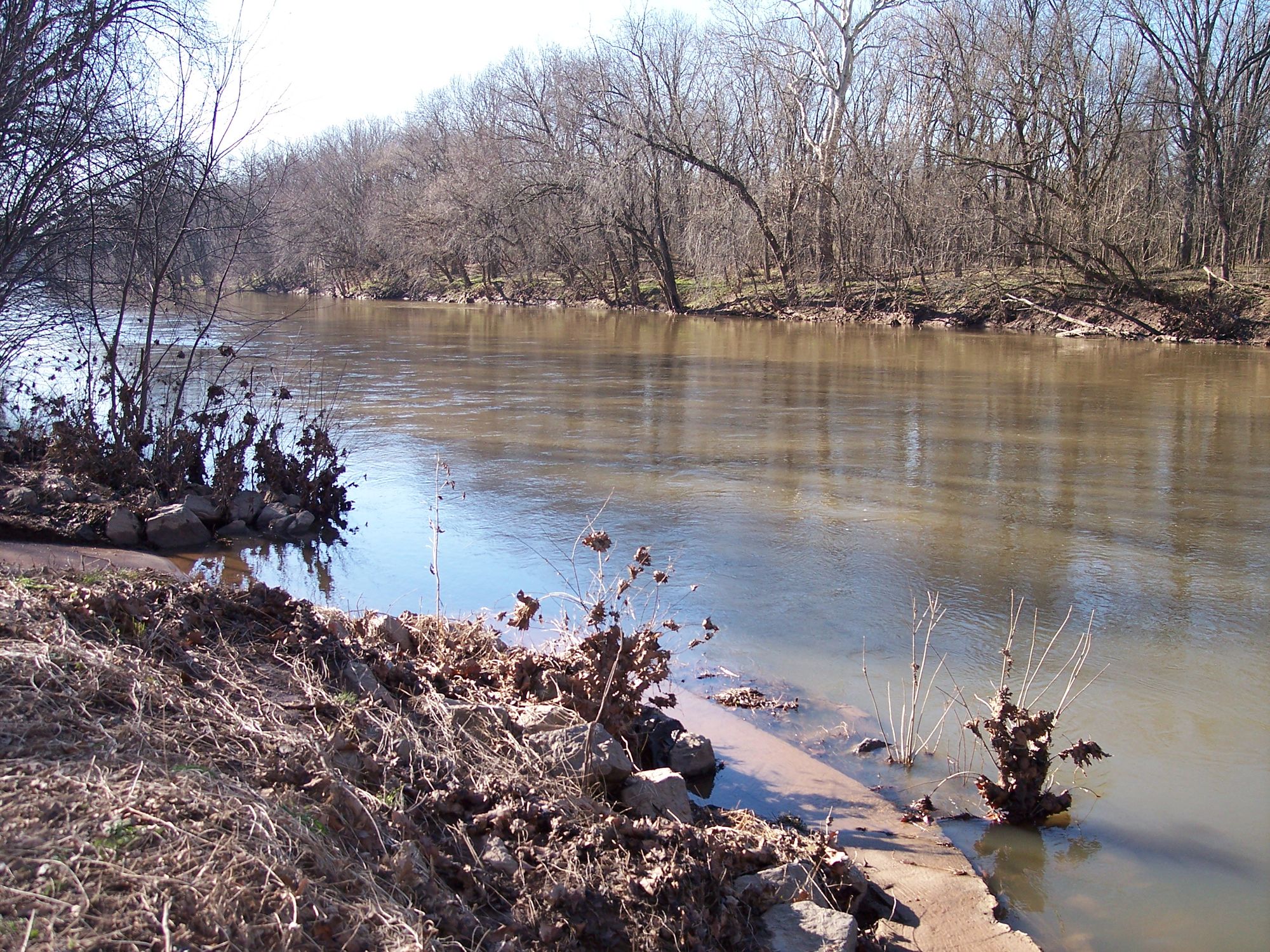
Monocacy River
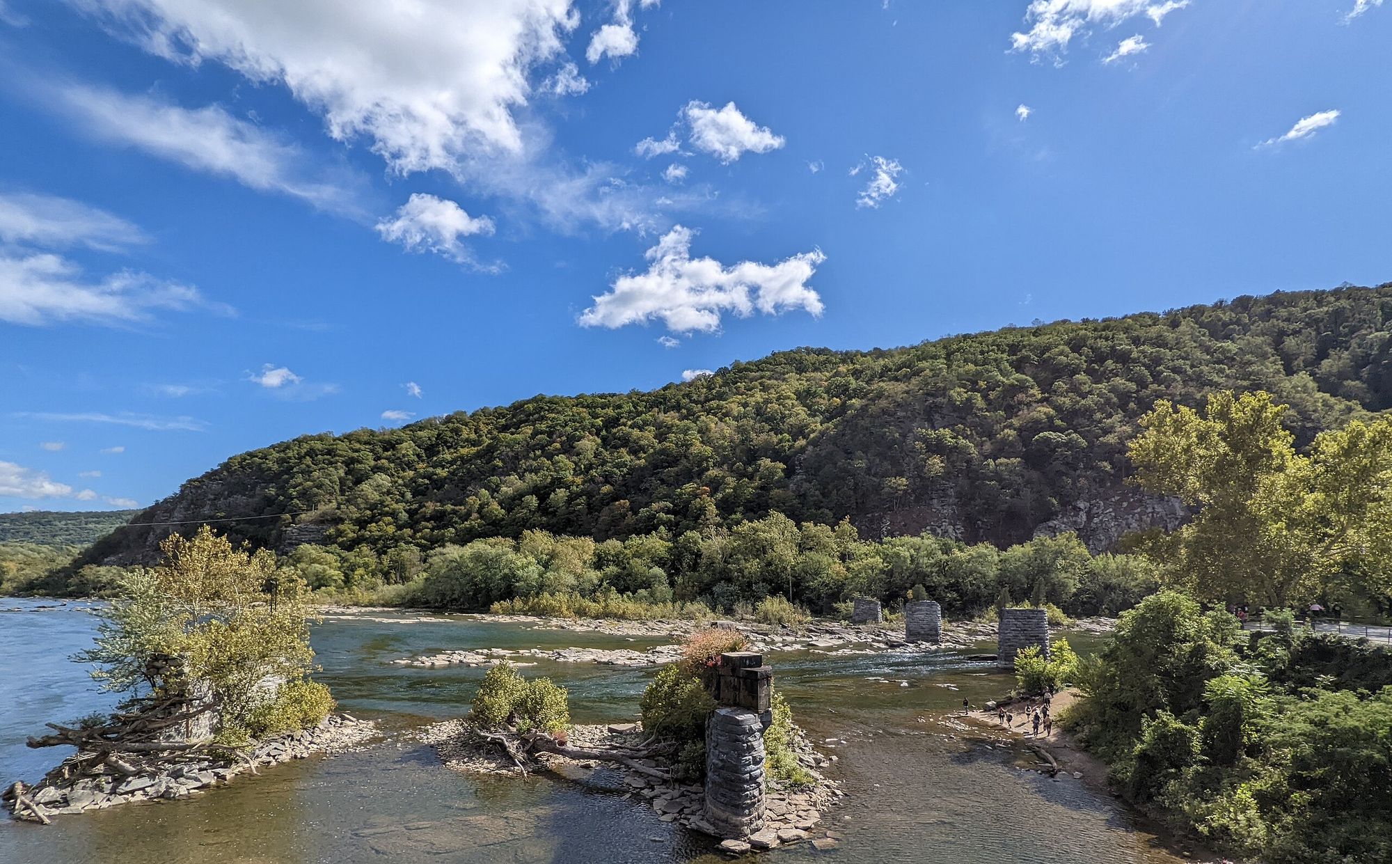
Shenandoah River
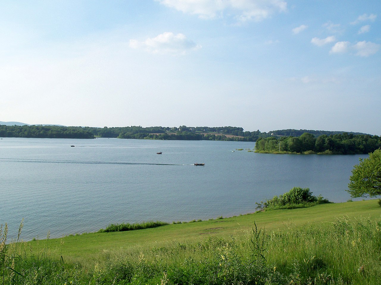
Lake Marburg
Conodoguinet Creek
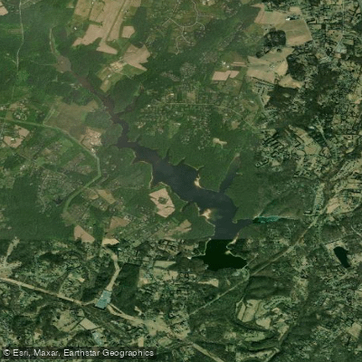
Triadelphia Reservoir
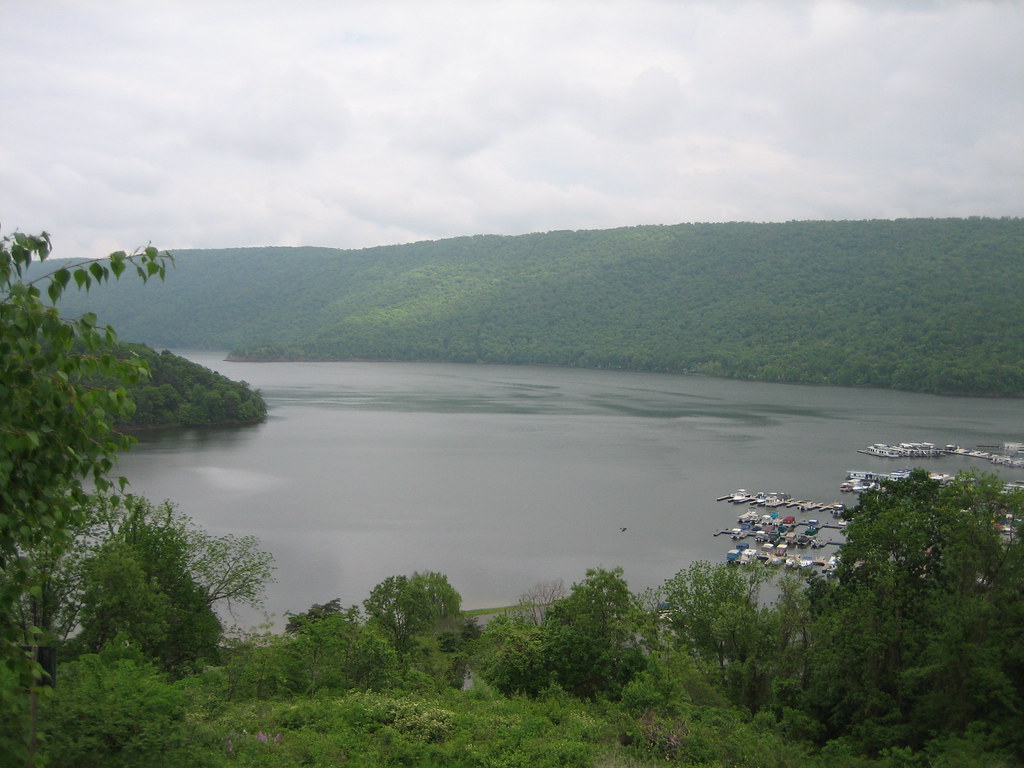
Raystown Lake

Patuxent River
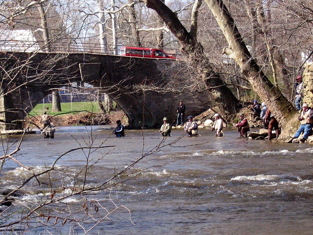
Yellow Breeches Creek
Raystown Branch Juniata River
Maryland licenses and regulations
Explore Maryland waters
Top paddling waters
No waters available right now.
Popular Cities
Loading popular cities...
Explore near Williamsport Boat Ramp
Nearby spots
- Anglers Inn River Boat Ramp
- Assateague State Park Boat Ramp
- McMahons Mill Boat Ramp
- Millington Waterfront Park Boat Ramp
- C&O Canal Gift Road Access
- Kemps Mill Park Access
- Potomac River Dam #5 Access
- Campground
- Cumberland Valley Hiker Biker Campsite
- Urner Goodman Campground
- Conococheague Creek Route 40 Parking
- Cushwa Basin Parking
- All 14 nearby spots
Nearby waters
More in Maryland

Smarter Paddling Starts in the App.
Paddleways gives you everything you need to plan smarter, paddle better, and own every trip from first launch to takeout.