Conodoguinet Creek
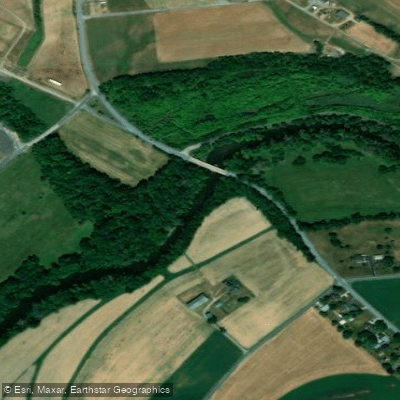
Conodoguinet Creek
- Boat Ramps
- 2
- Access Points
- 14
- Campsites
- 8
The Conodoguinet Creek, a hidden gem in Pennsylvania's Cumberland Valley, offers paddlers a serene journey through a surprisingly secluded landscape. This approximately 90-mile long waterway originates in Horse Valley, Franklin County, near Kittatinny Mountain at an elevation of 1,680 feet. It meanders through the fertile Cumberland Valley before joining the Susquehanna River near Harrisburg, draining an area of about 540 square miles.
The creek's name, derived from Native American words meaning "a long way with many bends," perfectly describes its winding nature. The Conodoguinet Creek Water Trail, a popular 40-mile stretch from near Carlisle to its confluence with the Susquehanna River, provides an excellent paddling experience for beginners and families. As a Class I stream, it features easy-moving water with occasional riffles and small waves, making it ideal for novice kayakers and canoeists.
Despite its proximity to suburban areas like the Carlisle Pike in Mechanicsburg, the creek maintains a sense of isolation within its valley setting. Paddlers can enjoy a variety of recreational activities, including birding, canoeing, kayaking, and tubing. The best times to experience the Conodoguinet are typically from March through June and September through November when water levels are most favorable.
The creek's ecosystem supports a diverse array of wildlife. Birdwatchers should keep an eye out for herons, kingfishers, osprey, and even majestic bald eagles soaring overhead. The surrounding landscape transitions from forested areas to agricultural lands, offering a glimpse into the region's natural and cultural heritage.
For those planning a trip, there are several access points along the water trail, with the main put-in located near Carlisle and the take-out at the Susquehanna River confluence. While the creek winds behind some suburban areas, the valley setting provides a surprising sense of seclusion, allowing paddlers to disconnect from the nearby urban environment.
Historically, the Conodoguinet was once considered as part of a proposed "Conococheague-Conodoguinet" canal system to connect the Susquehanna and Potomac rivers, potentially creating an all-water route between Harrisburg and Washington. However, the advent of railroads rendered this plan obsolete.
Safety considerations for paddlers include being aware of water levels, which can fluctuate seasonally, and respecting private property along the banks. It's always advisable to wear a life jacket and inform someone of your paddling plans. While primarily known for day trips, the creek's length and multiple access points could potentially allow for multi-day adventures for those seeking a more immersive experience. However, careful planning would be necessary to ensure appropriate camping locations and resupply points.
The Conodoguinet Creek Water Trail stands as a testament to Pennsylvania's natural beauty, offering a peaceful escape that feels far removed from the nearby urban centers, despite being just a stone's throw away from the state capital.
Water access, boat ramps & amenities
Learn how to get on Conodoguinet Creek. Uncover great paddling access points, boat ramps, and all the facilities you need for an unforgettable day on the water. Some locations shown may border or include private property. Always check property boundaries and applicable regulations before visiting. PaddleWays's Public & Private Land layer can help you plan your access with confidence.
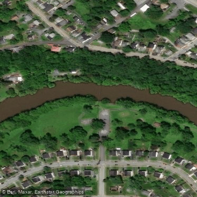
Ridley Park Access
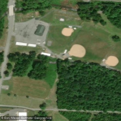
Lurgan Twp Rec Center Access
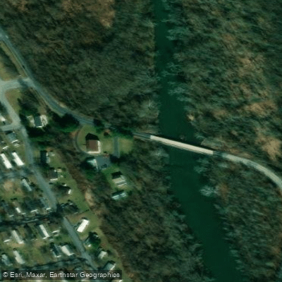
Scott Farm Work Center Access
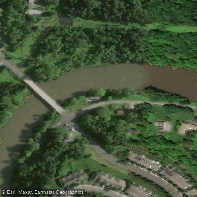
Oyster Mill Park Access
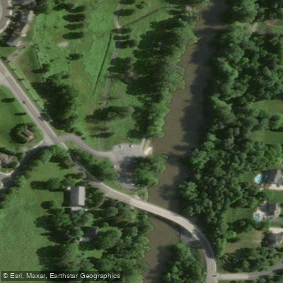
Vincent DiFilippo Nature Preserve Access
Bridgewater Road Access
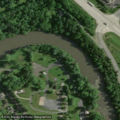
Willow Mill Park Access

Good Hope Access
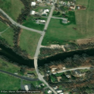
Letort Falls Park Access
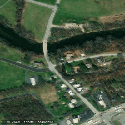
Mill Road Bridge Access
Paddle smarter with real-time insights
Whether you're en route and conditions shift or you're looking for the best spot based on current flows, we enable you to make informed decisions on the fly.








Find Places to Paddle

Over 400,000 Places to Paddle
Every user gets free access to launch points, boat ramps, and public property parcels.


Water and weather conditions (10 day forecast)
See the best times to paddle Conodoguinet Creek and check the forecast before you go.
Conodoguinet Creek near Hogestown, PA
Paddling near Conodoguinet Creek

Susquehanna River
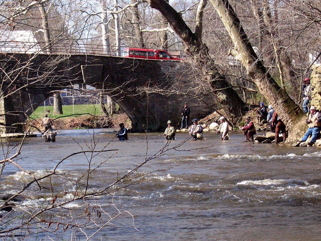
Yellow Breeches Creek
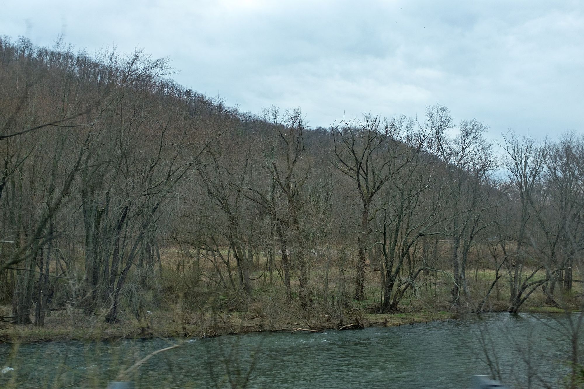
Juniata River
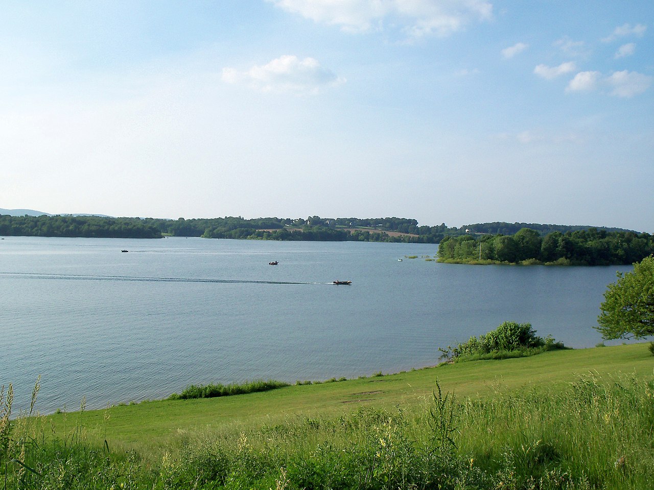
Lake Marburg
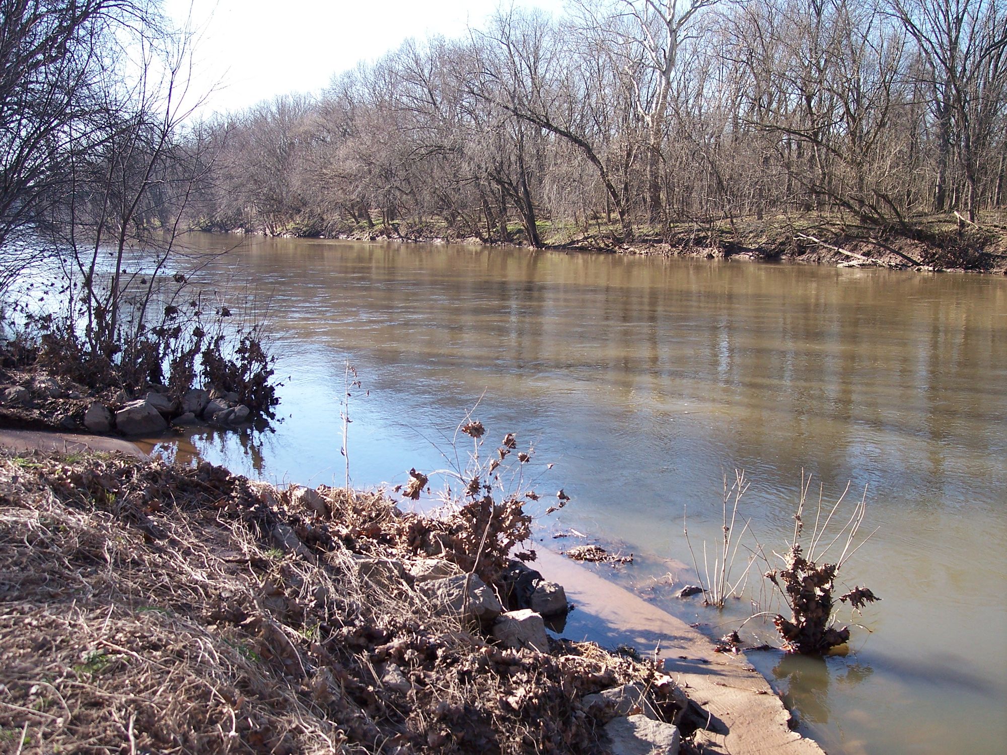
Monocacy River
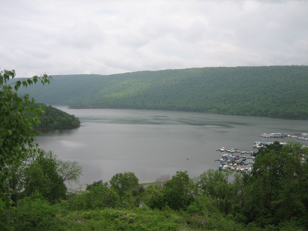
Raystown Lake
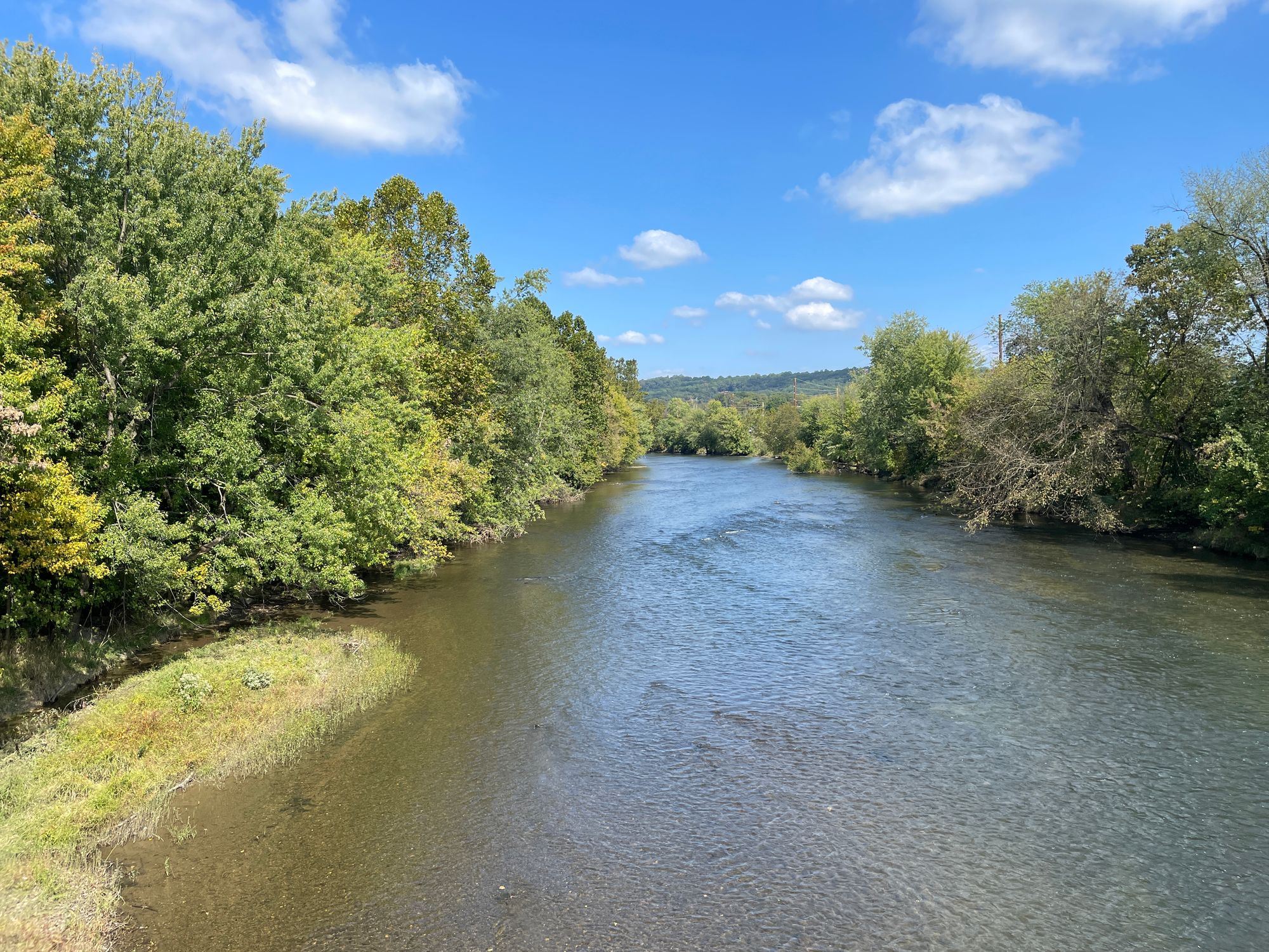
Swatara Creek
Penns Creek
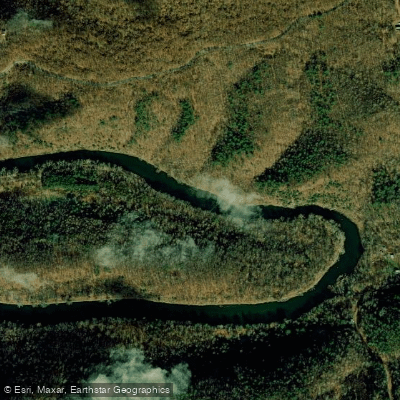
Raystown Branch Juniata River
Explore Pennsylvania waters
Top paddling waters
Popular Cities
Loading popular cities...
Explore near Conodoguinet Creek
Access points
- North Middleton Park Boat Ramp
- West Fairview Boat Ramp
- Ridley Park Access
- Lurgan Twp Rec Center Access
- Scott Farm Work Center Access
- Oyster Mill Park Access
- Vincent DiFilippo Nature Preserve Access
- Willow Mill Park Access
- Good Hope Access
- Letort Falls Park Access
- Mill Road Bridge Access
- Creekview Park Access
- All 187 spots
Nearby waters
More in Pennsylvania

Smarter Paddling Starts in the App.
Paddleways gives you everything you need to plan smarter, paddle better, and own every trip from first launch to takeout.