Big Horn Canal
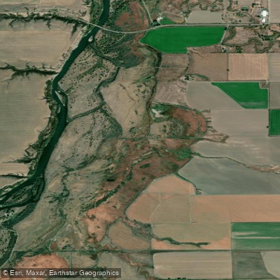
Big Horn Canal
- Boat Ramps
- 0
- Access Points
- 1
- Campsites
- 5
The Big Horn Canal, located in south-central Montana, is a scenic waterway that flows through the dramatic Bighorn Canyon National Recreation Area. This canal is actually a section of the Bighorn River that was impounded by the Yellowtail Dam, creating Bighorn Lake. The waterway runs roughly north-south through a spectacular canyon landscape.
Paddling opportunities on the Big Horn Canal are primarily flatwater, with several popular sections for canoes and kayaks. The Barry's Landing to Medicine Creek stretch is a scenic 2.8-mile one-way trip (5.6 miles round-trip) that offers stunning views of towering canyon walls. For a longer adventure, the Horseshoe Bend to Devil's Canyon section covers 17-20 miles round-trip, passing by cliffs over 1,000 feet high. On the northern end, the Ok-A-Beh to Black Canyon route provides a 12-13 mile round-trip paddle through lusher, greener canyon scenery.
The difficulty level is generally easy to moderate, suitable for beginners to intermediate paddlers. However, wind can be a factor, and paddlers should be prepared for potentially choppy conditions. The best paddling times are typically late spring through early fall, with summer offering the most reliable weather.
Wildlife viewing is a highlight, with opportunities to spot bighorn sheep, bald eagles, and various waterfowl. The canyon walls showcase dramatic geological formations and colorful rock layers. Key landmarks include Devil Canyon Overlook, Layout Creek, and Black Canyon. Access points are primarily at Barry's Landing, Horseshoe Bend, and Ok-A-Beh Marina. The nearest towns are Fort Smith to the north and Lovell, Wyoming to the south.
The area holds significant cultural importance to Native American tribes and played a role in the region's ranching history. Visitors can explore this heritage at sites like the Lockhart Ranch.
Safety considerations include checking weather forecasts, being aware of potential rapid temperature changes, and carrying appropriate safety gear. Regulations require life jackets for all boaters. For multi-day trips, boat-in campsites are available at locations like Medicine Creek and Black Canyon, allowing paddlers to fully immerse themselves in the stunning canyon environment.
Water access, boat ramps & amenities
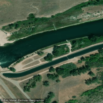
Learn how to get on Big Horn Canal. Uncover great paddling access points, boat ramps, and all the facilities you need for an unforgettable day on the water. Some locations shown may border or include private property. Always check property boundaries and applicable regulations before visiting. PaddleWays's Public & Private Land layer can help you plan your access with confidence.
Paddle smarter with real-time insights
Whether you're en route and conditions shift or you're looking for the best spot based on current flows, we enable you to make informed decisions on the fly.








Find Places to Paddle

Over 400,000 Places to Paddle
Every user gets free access to launch points, boat ramps, and public property parcels.


Water and weather conditions (10 day forecast)
See the best times to paddle Big Horn Canal and check the forecast before you go.
Bighorn R bl Yellowtail Afterbay Dam nr St. Xavier
All Flow Stations
Paddling near Big Horn Canal
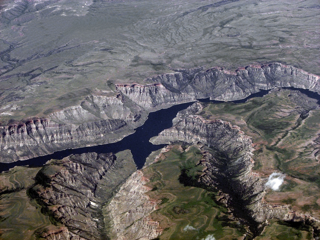
Bighorn Lake
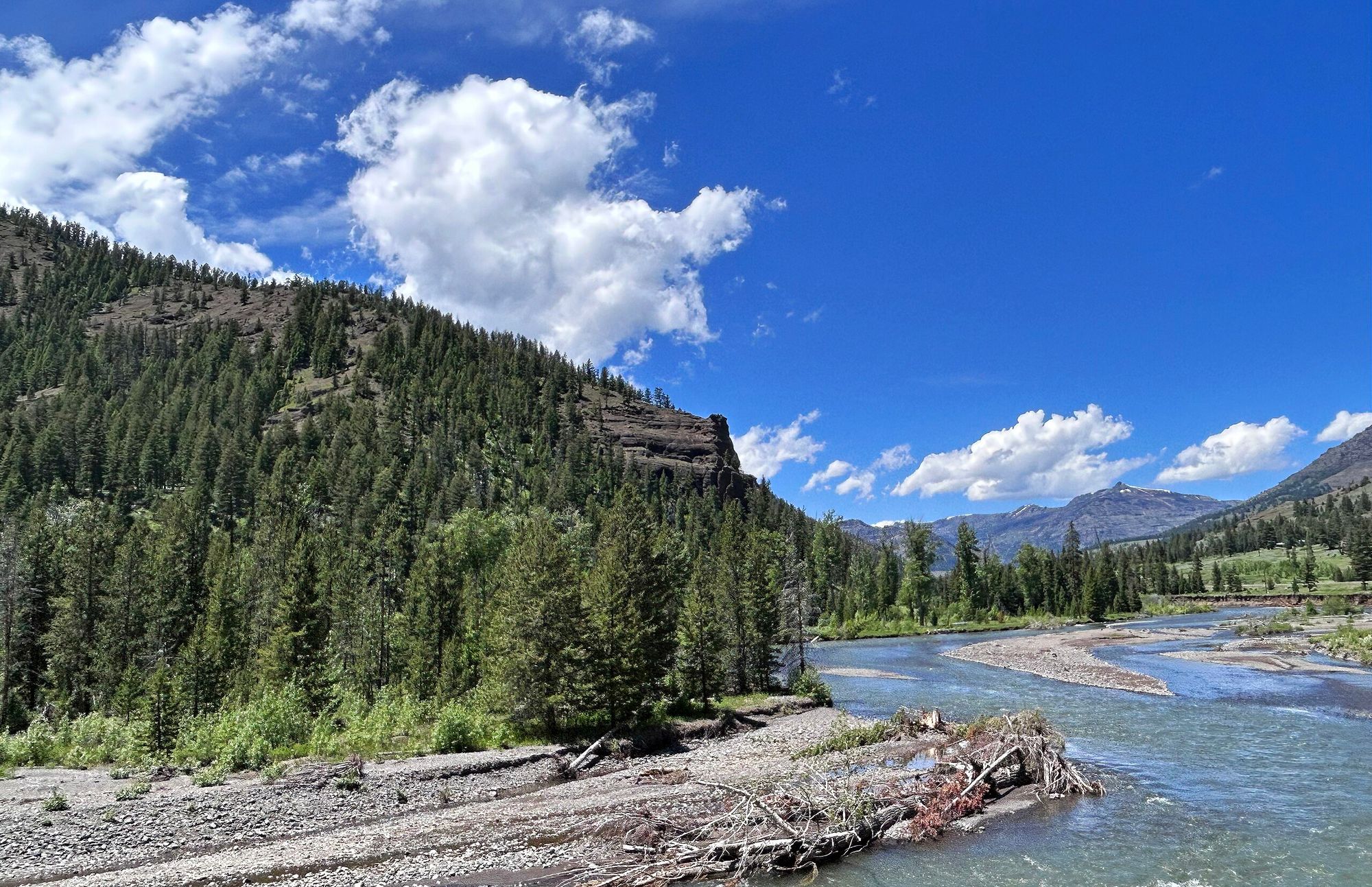
Shoshone River
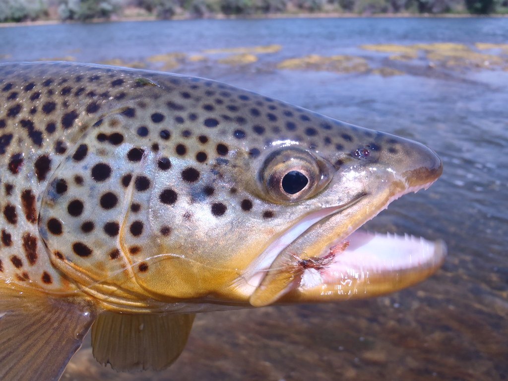
Bighorn River
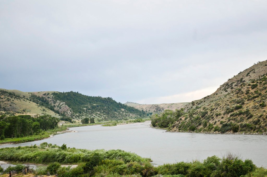
Yellowstone River
Tongue River
Clarks Fork Yellowstone River
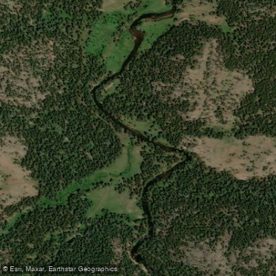
South Tongue River
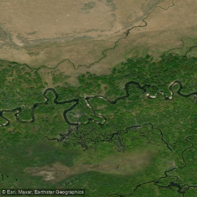
North Tongue River
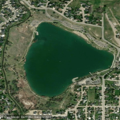
Lake Elmo
Explore Montana waters
Top paddling waters
Popular Cities
Loading popular cities...
Explore near Big Horn Canal
Access points
Nearby waters
More in Montana

Smarter Paddling Starts in the App.
Paddleways gives you everything you need to plan smarter, paddle better, and own every trip from first launch to takeout.