Bighorn Lake
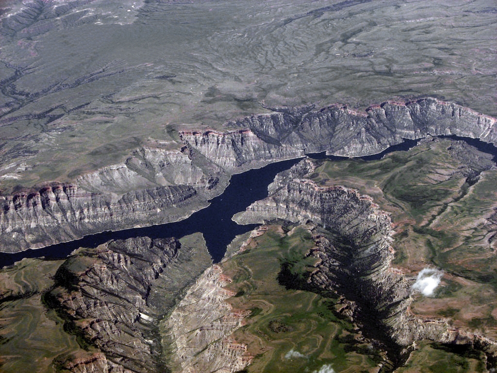
Bighorn Lake
- Boat Ramps
- 5
- Access Points
- 8
- Campsites
- 27
Bighorn Lake stretches 71 miles through the dramatic Bighorn Canyon National Recreation Area, with 55 miles contained within canyon walls that soar 1,000 to 2,500 feet overhead. The lake was created by Yellowtail Dam in 1967 and offers paddlers a unique wilderness experience through towering red and limestone cliffs with minimal road access.
**Access and Launch Points:** From the Montana north end, paddlers can launch at Ok-A-Beh Marina near Fort Smith, which operates Memorial Day through Labor Day. The south end in Wyoming offers access at Horseshoe Bend Marina, Barry's Landing, and Crooked Creek Bay. Note that no road connects the north and south districts—it's a three-hour drive between them by vehicle, though only about 25 miles by water through the canyon.
**Paddling Character:** The canyon section provides a remote, multi-day paddling experience with no roads on either shoreline for approximately 25 miles. Boat-in only campsites include Black Canyon, Day Board Nine, Medicine Creek, Dry Head Creek, and Big Bull Elk Creek—most equipped with floating vault toilets seasonally. The narrow canyon amplifies sound and creates dramatic vistas as cliffs change color with shifting light.
**Conditions and Hazards:** Wind is a significant factor on this reservoir. Weather can change rapidly, with afternoon thunderstorms common between 2-4 PM during summer. Paddlers should stay close to shoreline when rounding blind turns to avoid motorized boat traffic, which peaks on weekends after 11 AM. The reservoir experiences significant water level fluctuations that affect access to some launch sites and campsites.
**Wildlife and Scenery:** Paddlers may encounter bighorn sheep, wild horses from the Pryor Mountain Wild Horse Range, black bears, and diverse birdlife including peregrine falcons and golden eagles. The Pryor Mountain Wild Horse Range borders the lake's west side, with nearly 25% of the range within park boundaries.
Water access, boat ramps & amenities
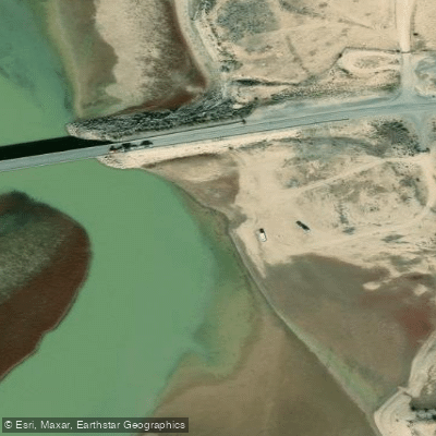
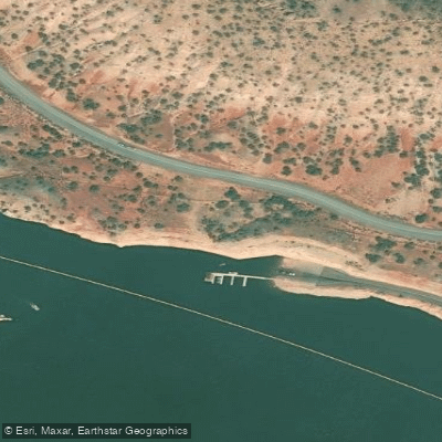
Learn how to get on Bighorn Lake. Uncover great paddling access points, boat ramps, and all the facilities you need for an unforgettable day on the water. Some locations shown may border or include private property. Always check property boundaries and applicable regulations before visiting. PaddleWays's Public & Private Land layer can help you plan your access with confidence.
Paddle smarter with real-time insights
Whether you're en route and conditions shift or you're looking for the best spot based on current flows, we enable you to make informed decisions on the fly.








Find Places to Paddle

Over 400,000 Places to Paddle
Every user gets free access to launch points, boat ramps, and public property parcels.


Water and weather conditions (10 day forecast)
See the best times to paddle Bighorn Lake and check the forecast before you go.
Bighorn R bl Yellowtail Afterbay Dam nr St. Xavier
All Flow Stations
Paddling near Bighorn Lake
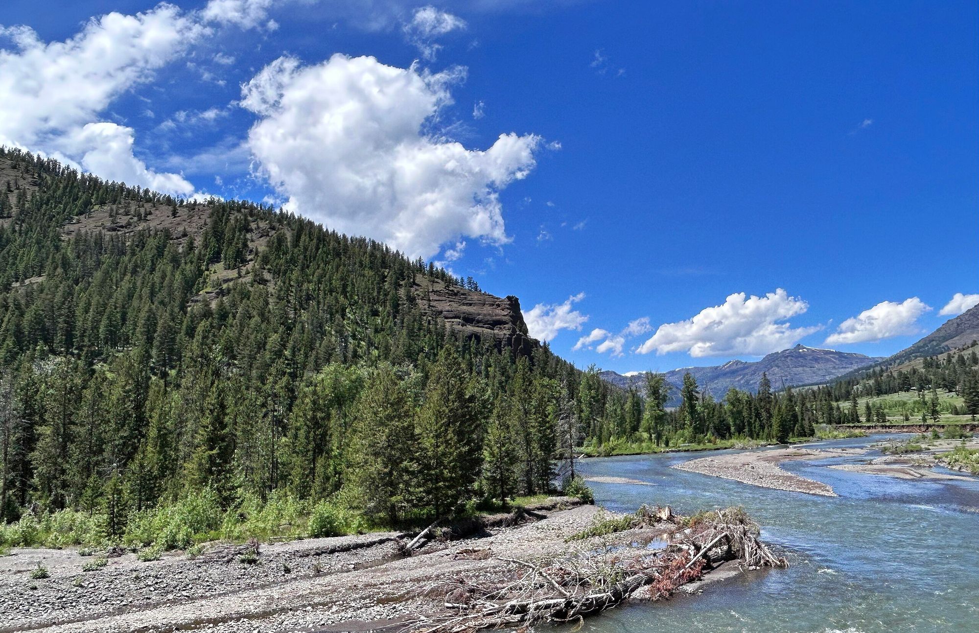
Shoshone River
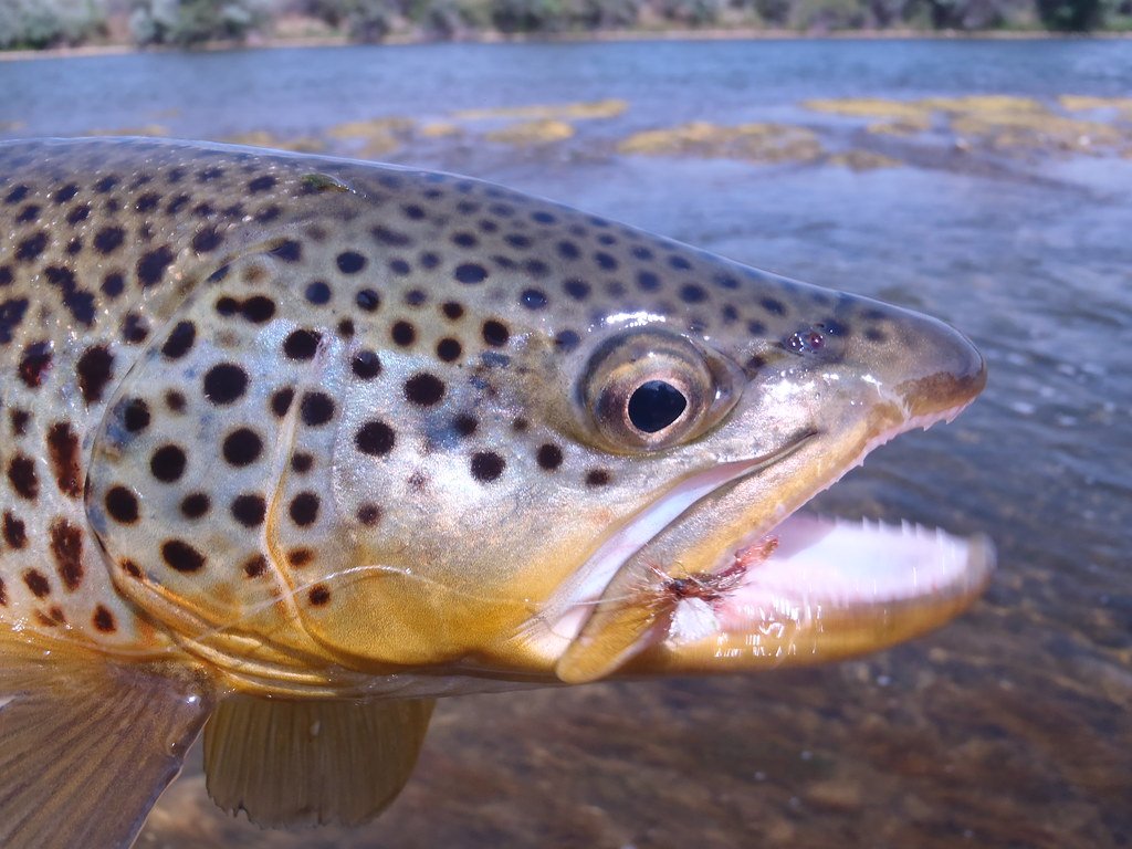
Bighorn River
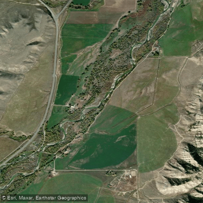
Greybull River
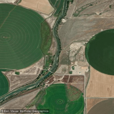
Clarks Fork Yellowstone River
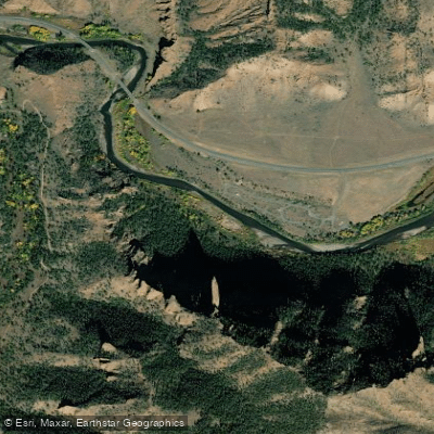
North Fork Shoshone River
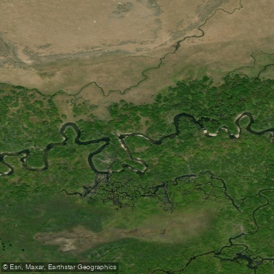
North Tongue River
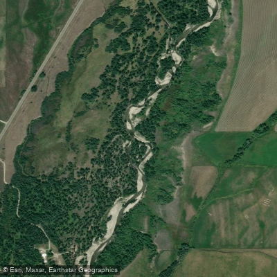
Rock Creek
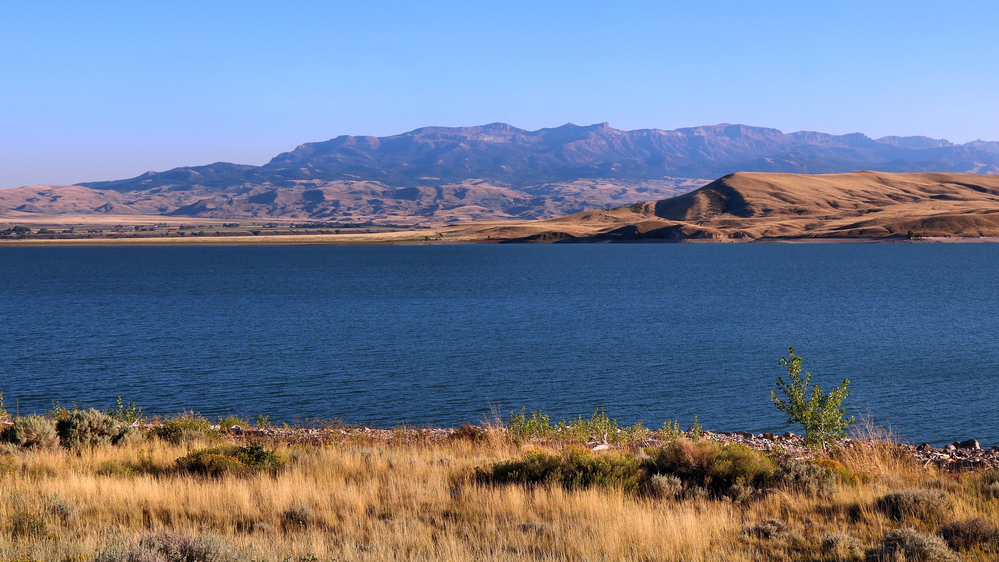
Buffalo Bill Reservoir
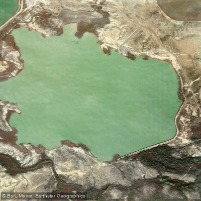
Wardel Reservoir
Explore Montana waters
Top paddling waters
Popular Cities
Loading popular cities...
Explore near Bighorn Lake
Access points
Nearby waters
More in Montana

Smarter Paddling Starts in the App.
Paddleways gives you everything you need to plan smarter, paddle better, and own every trip from first launch to takeout.