South Tongue River
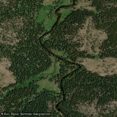
South Tongue River
- Boat Ramps
- 0
- Access Points
- 4
- Campsites
- 7
The South Tongue River originates high in Wyoming's Big Horn Mountains, flowing northward through steep canyons and forested valleys before joining the main Tongue River near the Montana border. This pristine mountain stream carves a rugged path through the eastern slopes of the Bighorns, fed by numerous small tributaries draining the surrounding peaks and alpine meadows.
For paddlers, the South Tongue offers an exhilarating whitewater experience in a stunning wilderness setting. The upper reaches feature continuous Class IV-V rapids as the river plunges through a narrow gorge. This section is characterized by its read-and-run nature, with relentless boulder gardens and steep drops demanding expert skills and nerves of steel. A lower needle rock rapid marks one of the more significant features. Below the most intense whitewater, the river mellows slightly but maintains its swift current through a scenic canyon. Here paddlers will find Class II-III rapids interspersed with deep pools and enticing fishing runs.
The Tongue River Canyon section provides a more moderate paddling experience, with fast pocket water and scenic campsites along the shore. Near the town of Sheridan, the South Tongue transitions into a meandering prairie river. The Tongue River Water Trail offers novice paddlers and families a chance to explore this gentler stretch, winding past working ranches and cottonwood groves. Multiple access points allow for day trips or longer adventures.
Spring runoff from snowmelt creates optimal paddling conditions from late May through June, though extremely high flows can make even easier sections more challenging. By mid-summer, water levels typically drop, revealing more rocks and requiring precise maneuvering in places.
The river corridor provides important habitat for elk, mule deer, and black bears. Trout thrive in the cold, clear waters, making the South Tongue a favorite among fly fishermen. Bald eagles and ospreys can often be spotted soaring overhead or perched along the banks.
For multi-day trips, primitive campsites are available in the canyon, though paddlers should practice Leave No Trace principles and be aware of fire restrictions. Access is limited in some areas, so careful planning is essential. The nearby town of Dayton serves as a convenient base for resupply and shuttles. Paddlers must be self-sufficient and prepared for remote conditions.
Personal flotation devices are required, and helmets are strongly recommended for the more difficult sections. Checking current flow levels and weather forecasts is crucial before embarking on any South Tongue River adventure.
Water access, boat ramps & amenities
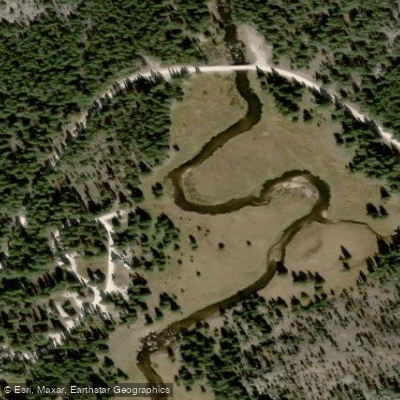
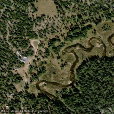
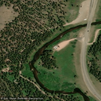
Learn how to get on South Tongue River. Uncover great paddling access points, boat ramps, and all the facilities you need for an unforgettable day on the water. Some locations shown may border or include private property. Always check property boundaries and applicable regulations before visiting. PaddleWays's Public & Private Land layer can help you plan your access with confidence.
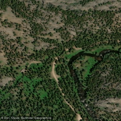
Paddle smarter with real-time insights
Whether you're en route and conditions shift or you're looking for the best spot based on current flows, we enable you to make informed decisions on the fly.








Find Places to Paddle

Over 400,000 Places to Paddle
Every user gets free access to launch points, boat ramps, and public property parcels.


Water and weather conditions (10 day forecast)
See the best times to paddle South Tongue River and check the forecast before you go.
No forecast data available.
Paddling near South Tongue River
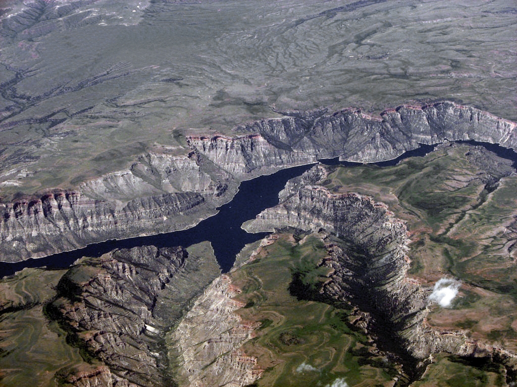
Bighorn Lake
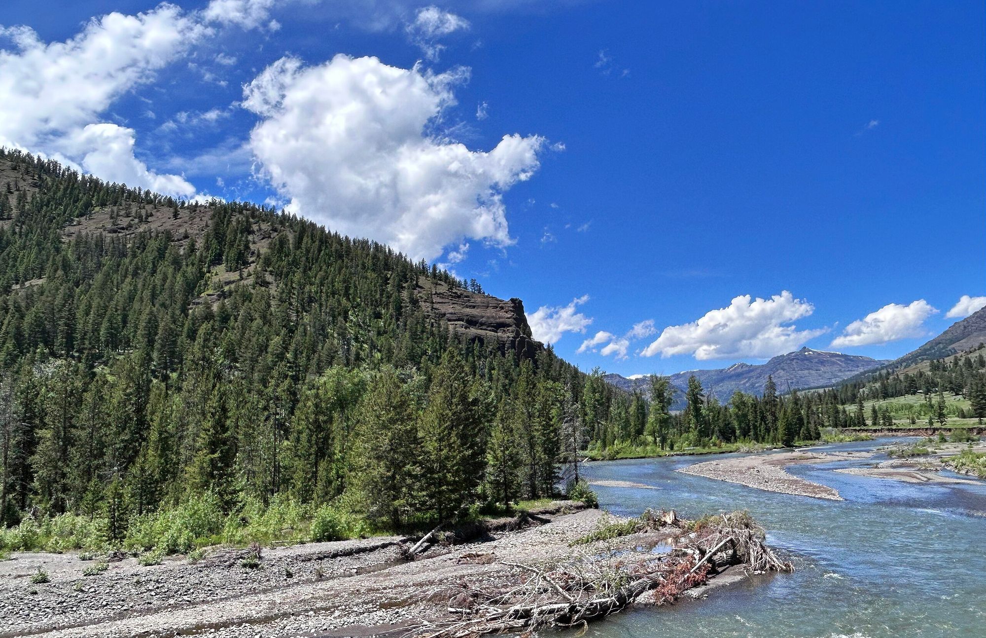
Shoshone River
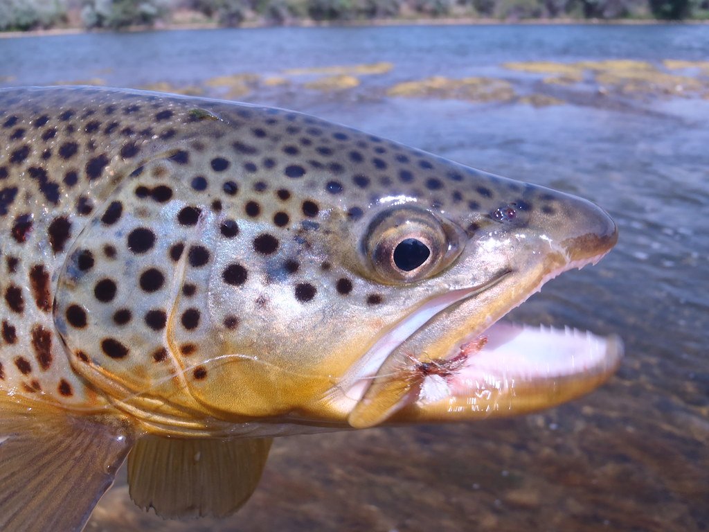
Bighorn River
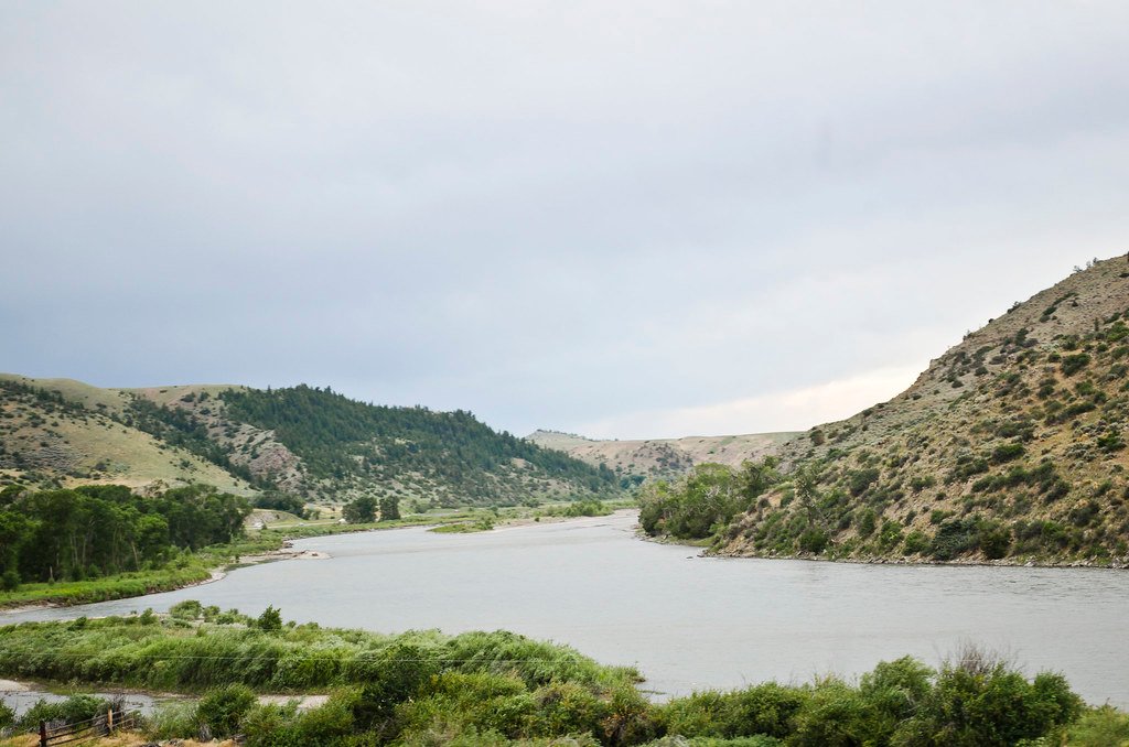
Yellowstone River
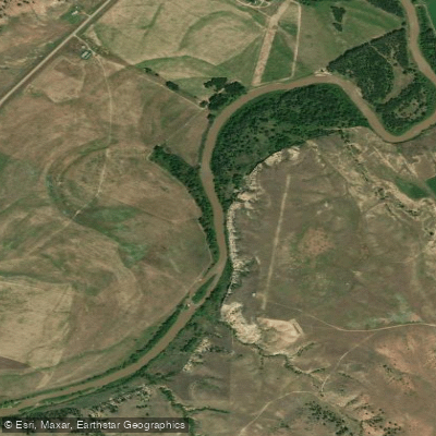
Tongue River
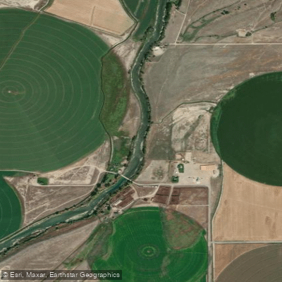
Clarks Fork Yellowstone River
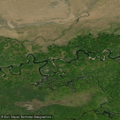
North Tongue River
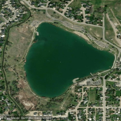
Lake Elmo
Explore Wyoming waters
Top paddling waters
Popular Cities
Loading popular cities...
Explore near South Tongue River
Access points
Nearby waters
More in Wyoming

Smarter Paddling Starts in the App.
Paddleways gives you everything you need to plan smarter, paddle better, and own every trip from first launch to takeout.