Buffalo Bill Reservoir
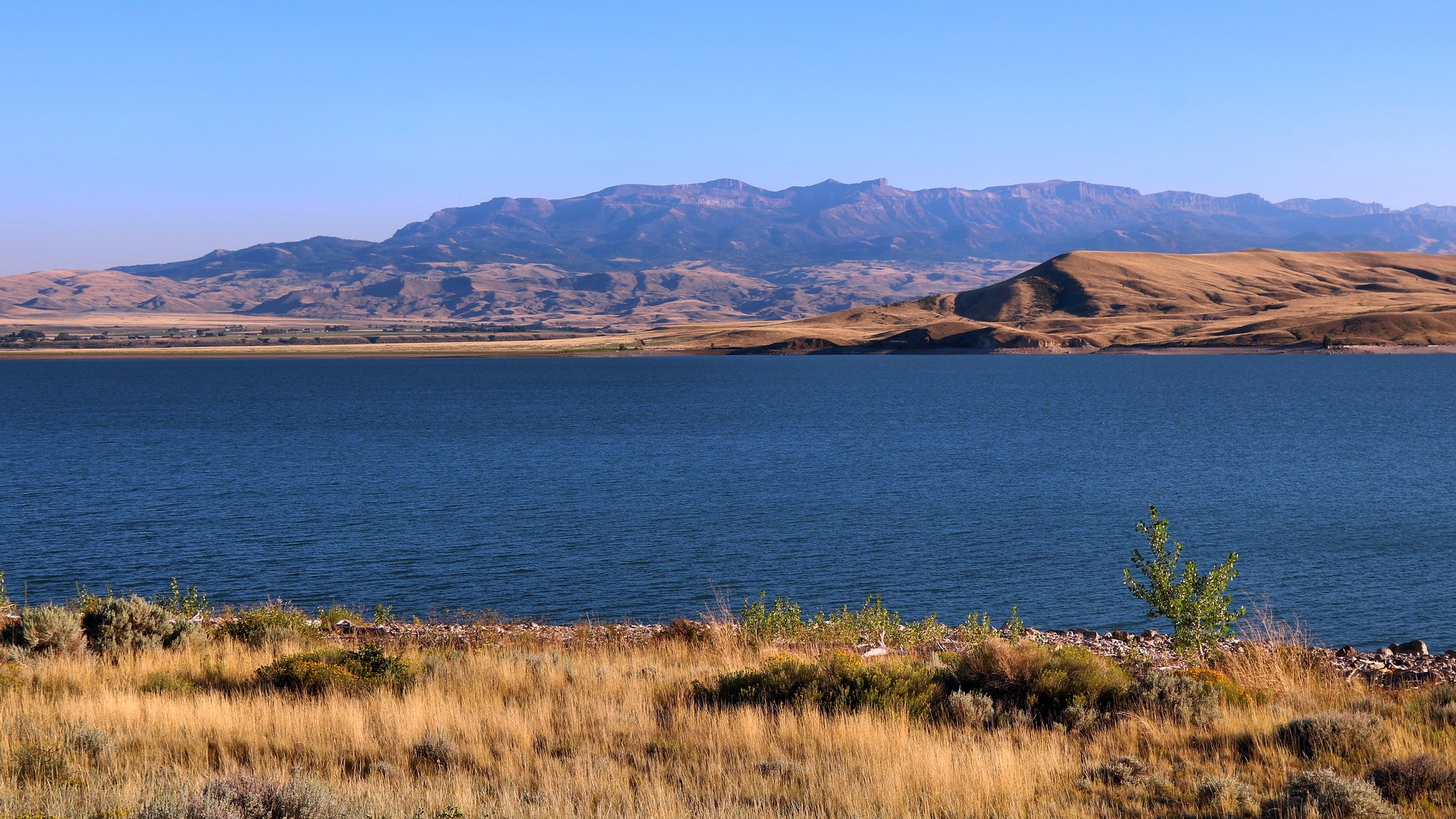
Buffalo Bill Reservoir
- Boat Ramps
- 1
- Access Points
- 1
- Campsites
- 3
Buffalo Bill Reservoir, located 6 miles west of Cody, Wyoming, offers paddlers an 8,000-acre expanse of water surrounded by spectacular mountain scenery. The reservoir provides good access via shoreline roads and three boat ramps. Paddlers can enjoy flatwater touring and sunset paddleboarding trips on the reservoir's clear blue waters.
The lake is a popular destination for various water activities, including kayaking and stand-up paddleboarding. Guided tours are weather-dependent, so checking conditions beforehand is advisable. Guided tours are available, with options for early morning SUP cruises, full-moon kayak paddles, and customizable day trips.
Wildlife viewing opportunities abound, with the possibility of spotting elk, moose, and bears along the shoreline. The reservoir is also known for its excellent fishing, with species including rainbow trout, brown trout, lake trout, and cutthroat trout. A Wyoming state fishing license is required.
Facilities for paddlers include developed campsites, RV sites with dump stations, drinking water, restrooms, and picnic areas. A visitor center is also available. The reservoir is part of Buffalo Bill State Park, which offers additional recreational opportunities such as hiking and horseback riding.
The area has significant historical importance, with the Buffalo Bill Dam (completed in 1910) listed on the National Register of Historic Places. Colonel William F. "Buffalo Bill" Cody played a crucial role in developing the region, and some of the park's land was originally owned by him.
Paddlers should be aware that the reservoir is also popular for motorized boating and windsurfing, which may affect water conditions. The best times for paddling are typically early morning or evening when winds are calmer and boat traffic is reduced.
Water access, boat ramps & amenities
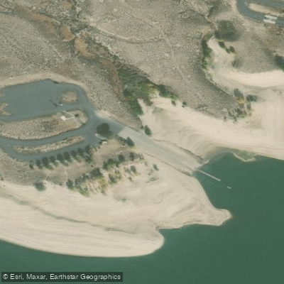
Learn how to get on Buffalo Bill Reservoir. Uncover great paddling access points, boat ramps, and all the facilities you need for an unforgettable day on the water. Some locations shown may border or include private property. Always check property boundaries and applicable regulations before visiting. PaddleWays's Public & Private Land layer can help you plan your access with confidence.
Paddle smarter with real-time insights
Whether you're en route and conditions shift or you're looking for the best spot based on current flows, we enable you to make informed decisions on the fly.








Find Places to Paddle

Over 400,000 Places to Paddle
Every user gets free access to launch points, boat ramps, and public property parcels.


Water and weather conditions (10 day forecast)
See the best times to paddle Buffalo Bill Reservoir and check the forecast before you go.
South Fork Dike at Buffalo Bill Reservoir
All Flow Stations
Paddling near Buffalo Bill Reservoir
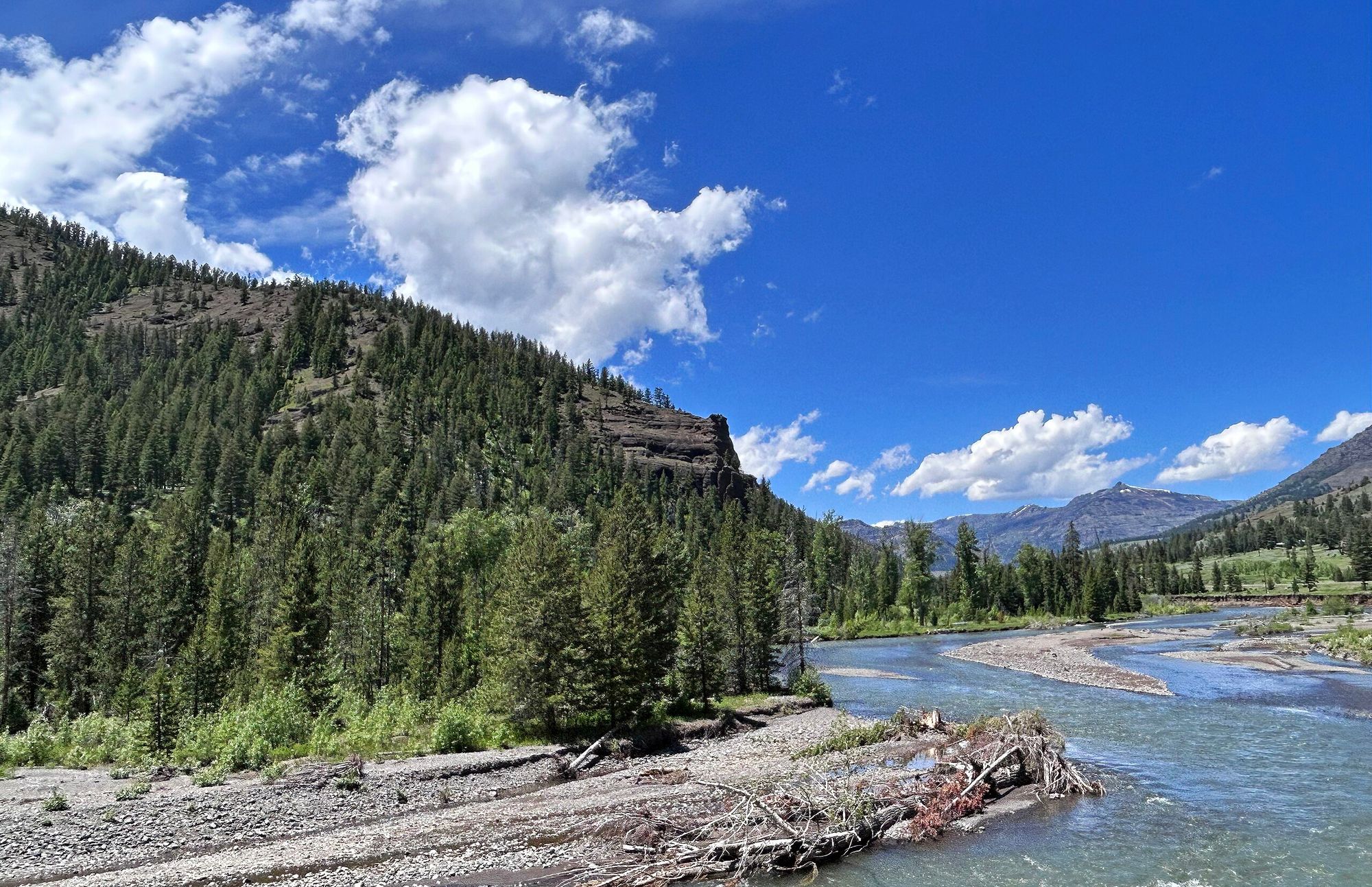
Shoshone River
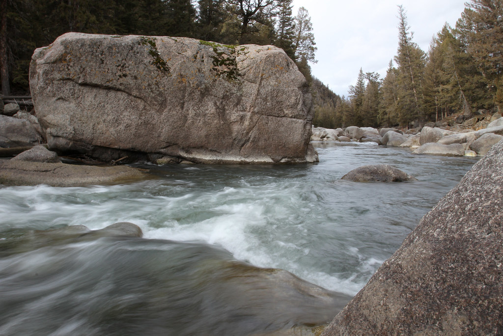
Lamar River
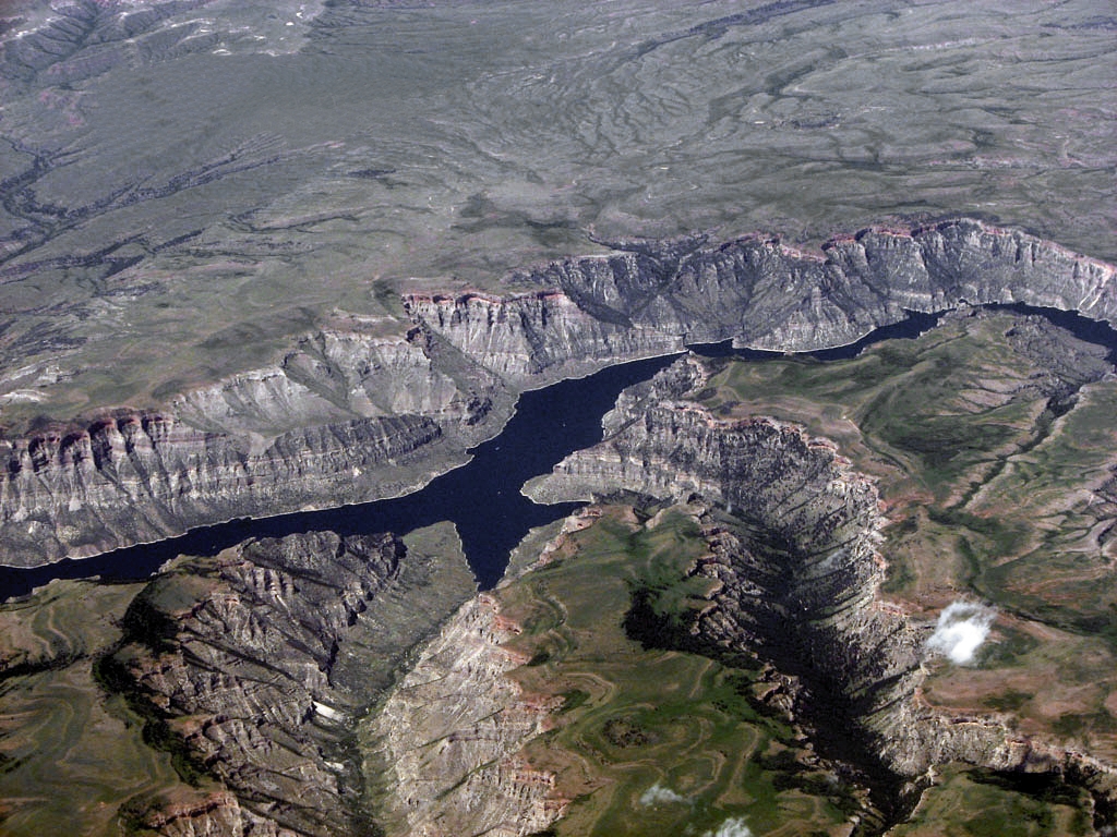
Bighorn Lake
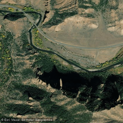
North Fork Shoshone River
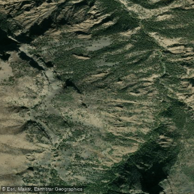
South Fork Shoshone River
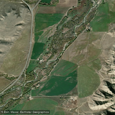
Greybull River
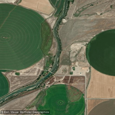
Clarks Fork Yellowstone River
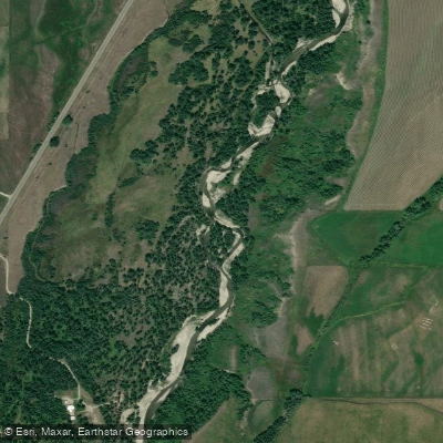
Rock Creek
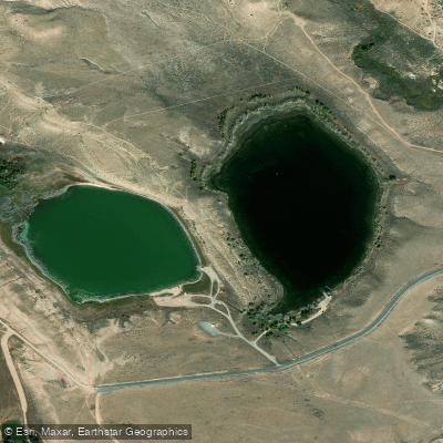
Newton Lakes
Explore Wyoming waters
Top paddling waters
Popular Cities
Loading popular cities...
Explore near Buffalo Bill Reservoir
Access points
Nearby waters
More in Wyoming

Smarter Paddling Starts in the App.
Paddleways gives you everything you need to plan smarter, paddle better, and own every trip from first launch to takeout.