North Fork Shoshone River
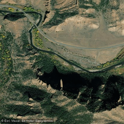
North Fork Shoshone River
- Boat Ramps
- 3
- Access Points
- 17
- Campsites
- 19
The North Fork Shoshone River is a scenic waterway in northwestern Wyoming that offers excellent opportunities for paddling, fishing, and sightseeing. Originating high in the Absaroka Mountains near Yellowstone National Park, the river flows eastward for approximately 52 miles through the Shoshone National Forest before emptying into Buffalo Bill Reservoir west of Cody. Paddlers can enjoy a range of experiences on the North Fork Shoshone, from easy floats to more challenging whitewater. The most popular section runs 40.8 miles from Pahaska Tepee near Yellowstone's East Entrance to Buffalo Bill Reservoir, featuring Class I-III rapids suitable for a wide range of skill levels.
Notable segments include the exciting Red Rock Canyon stretch with Class II-III+ rapids, perfect for families and beginners seeking an introduction to whitewater. The river is typically run from late spring through early fall, with peak flows in June during snowmelt. Late summer and early fall offer lower water levels ideal for fishing trips.
The surrounding ecosystem supports diverse wildlife including elk, bighorn sheep, and grizzly bears, while the river corridor showcases dramatic red rock formations and forested mountainsides. Key access points include Pahaska Tepee, the Red Barn ramp, Wapiti Bridge, and Gibbs Bridge at Buffalo Bill Reservoir. The nearby town of Cody serves as the primary gateway for river trips. The North Fork Highway (US 14/16/20) follows the river's course, providing excellent access and scenic views for much of its length.
Historically, the river valley was an important travel corridor for Native Americans and early explorers. Today, it offers a gateway to Yellowstone while preserving the rugged beauty of the Greater Yellowstone Ecosystem. Paddlers should be aware of potential hazards including cold water, swift currents, and the Class III rapid under Wapiti Bridge. Multi-day trips are possible, with the 2-day stretch through Red Rock Canyon being particularly popular.
Visitors should check current regulations and conditions, as fishing closures may apply to certain sections during spawning seasons. The North Fork Shoshone River provides a quintessential Wyoming paddling experience, combining thrilling whitewater, world-class fishing, and breathtaking scenery in one of America's most iconic landscapes.
Water access, boat ramps & amenities
Learn how to get on North Fork Shoshone River. Uncover great paddling access points, boat ramps, and all the facilities you need for an unforgettable day on the water. Some locations shown may border or include private property. Always check property boundaries and applicable regulations before visiting. PaddleWays's Public & Private Land layer can help you plan your access with confidence.
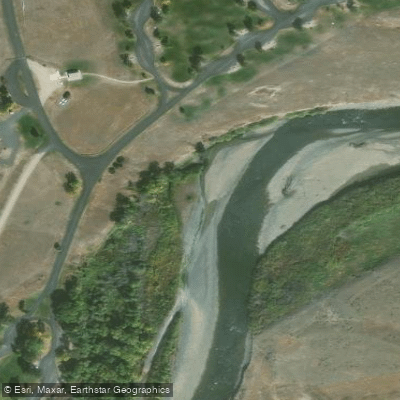
North Fork Campground Access Area
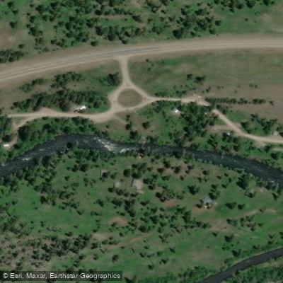
Eagle Creek Campground Access
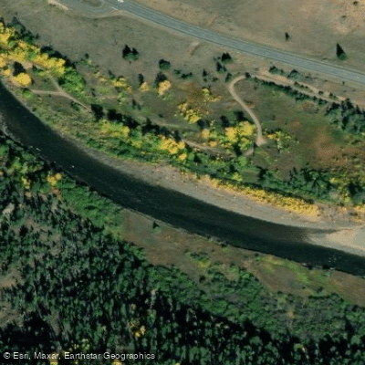
Newton Creek Campground River Access
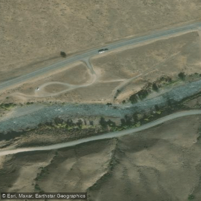
Dunn Creek Access Area
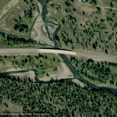
Pahaska Tepee Access
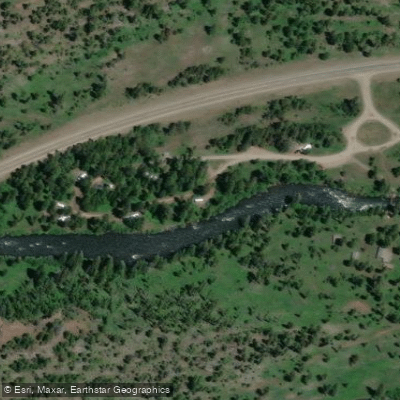
Access
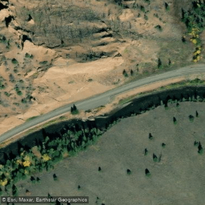
Access area
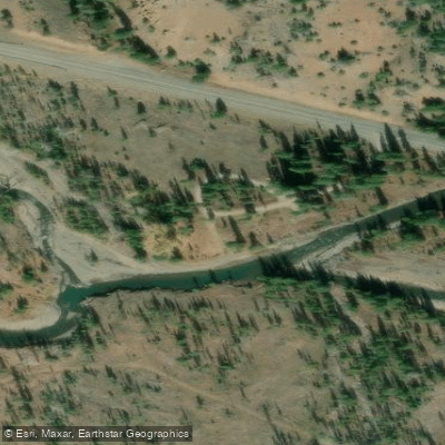
Sleeping Giant Picnic Area
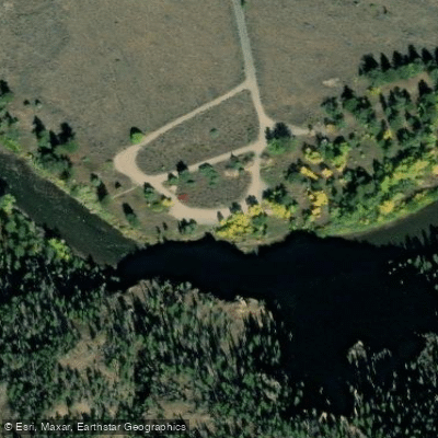
Clearwater Access Area
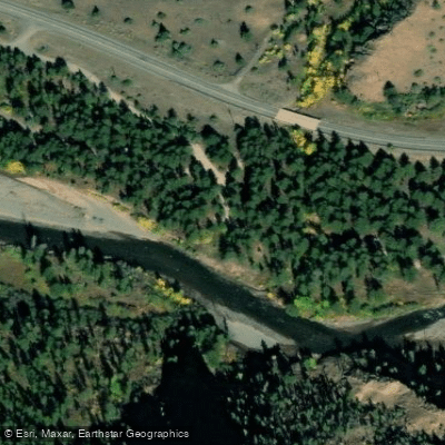
Newton Creek Campground access
Paddle smarter with real-time insights
Whether you're en route and conditions shift or you're looking for the best spot based on current flows, we enable you to make informed decisions on the fly.








Find Places to Paddle

Over 400,000 Places to Paddle
Every user gets free access to launch points, boat ramps, and public property parcels.


Water and weather conditions (10 day forecast)
See the best times to paddle North Fork Shoshone River and check the forecast before you go.
NORTH FORK SHOSHONE RIVER AT WAPITI, WY
All Flow Stations
Paddling near North Fork Shoshone River
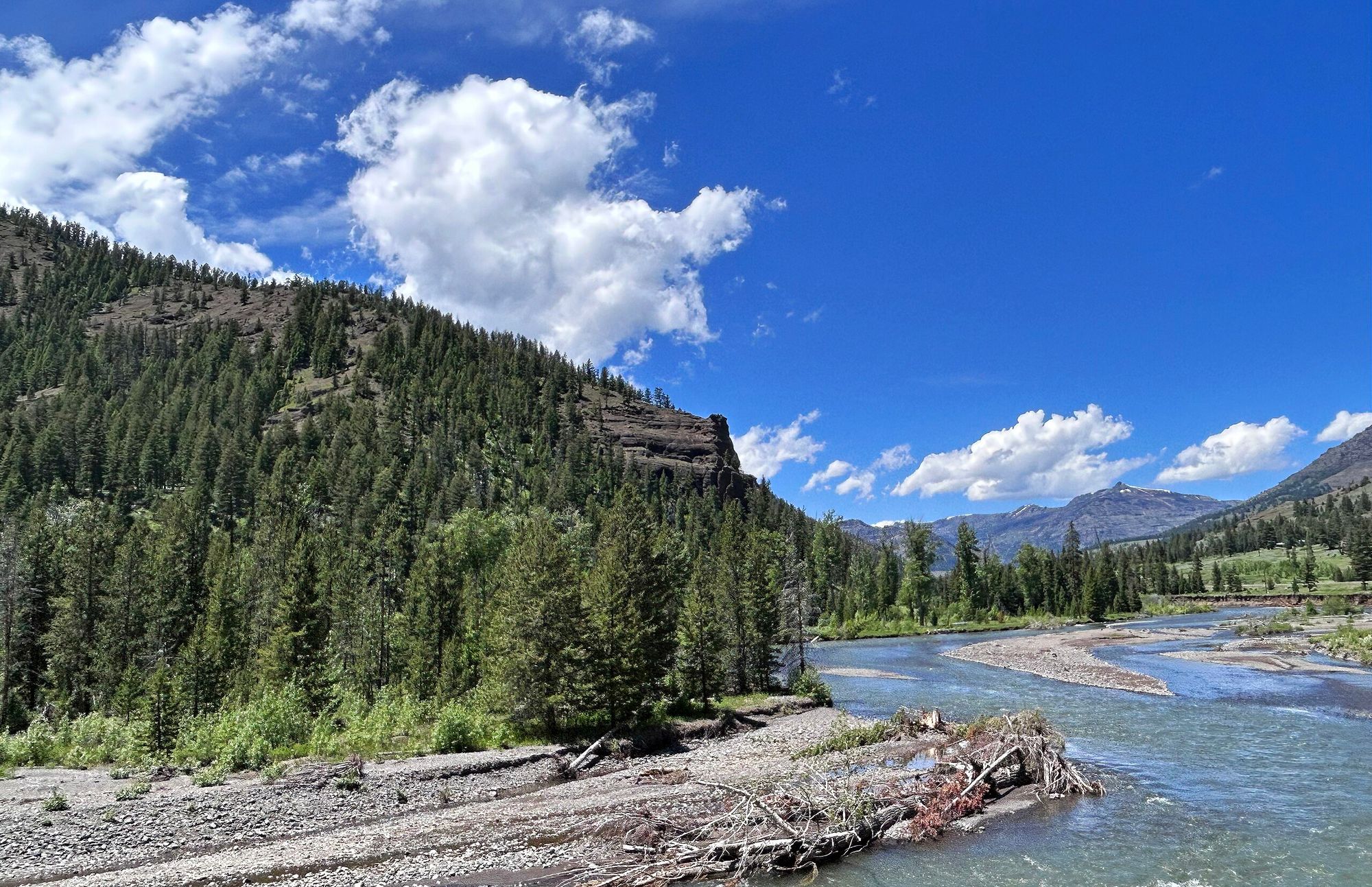
Shoshone River
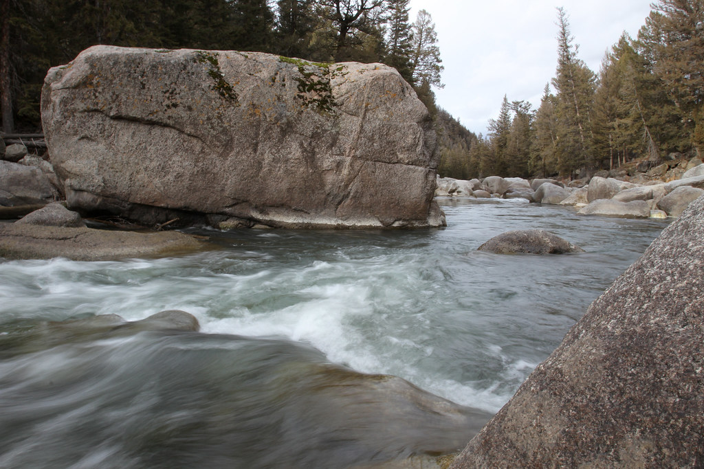
Lamar River
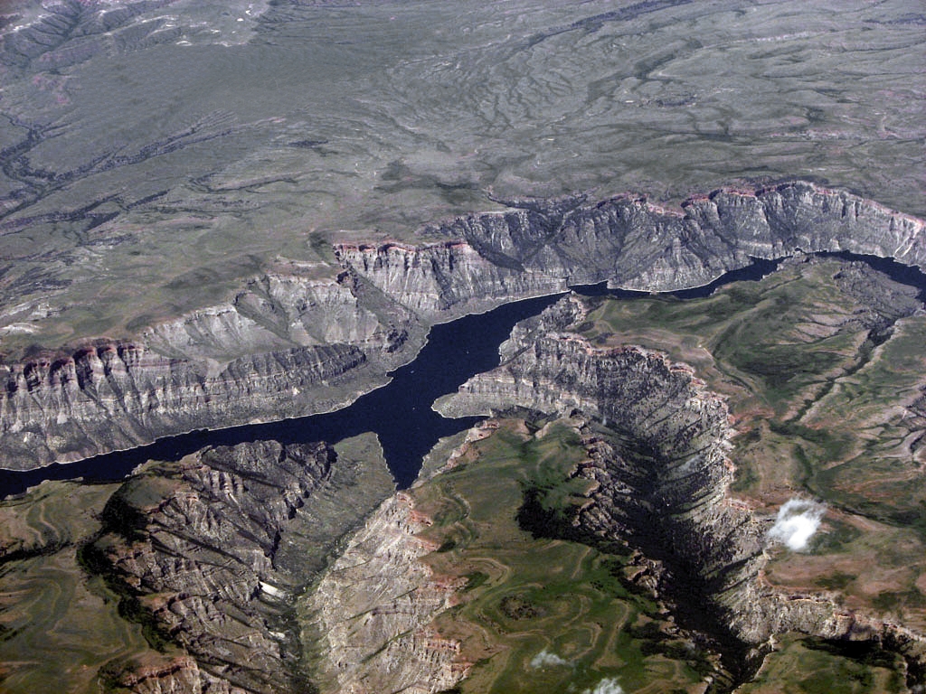
Bighorn Lake
South Fork Shoshone River
Greybull River
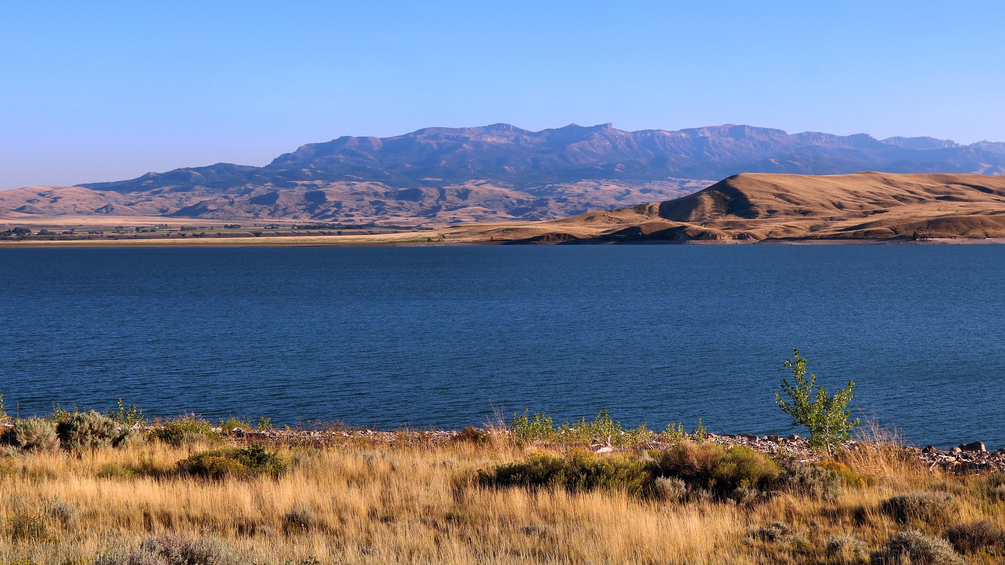
Buffalo Bill Reservoir
Clarks Fork Yellowstone River
Rock Creek
Newton Lakes
Explore Wyoming waters
Top paddling waters
Popular Cities
Loading popular cities...
Explore near North Fork Shoshone River
Access points
Nearby waters
More in Wyoming

Smarter Paddling Starts in the App.
Paddleways gives you everything you need to plan smarter, paddle better, and own every trip from first launch to takeout.