Curated by PaddleWays
RouteFlatwater
- Distance
- 4.1 mi
- Paddle time
- 1–2 hrs
- Best for
- Canoe
- Put-in → take-out
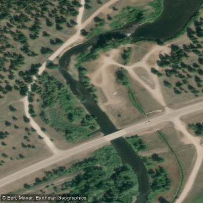
- Clearwater River Canoe Trail Launch → Seeley Lake Campground
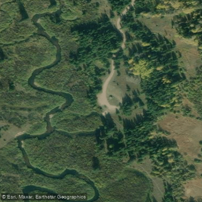
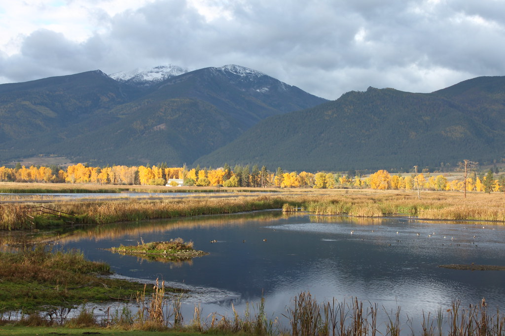
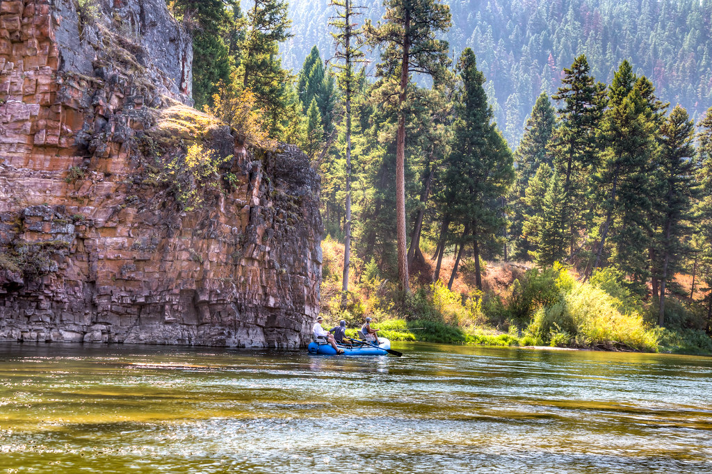
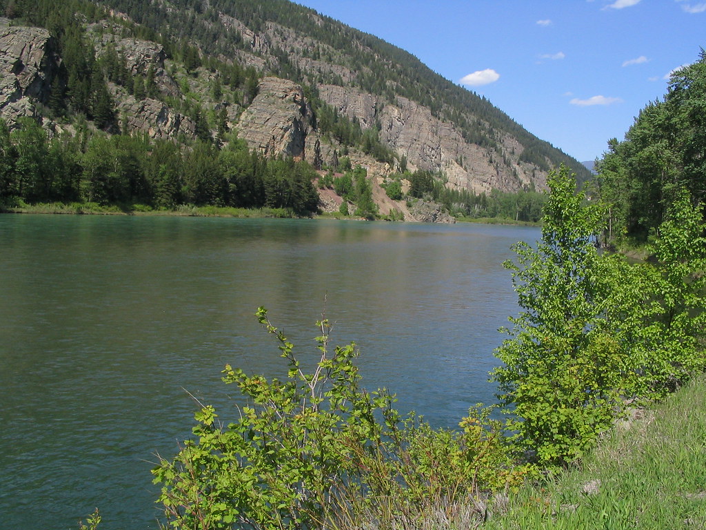
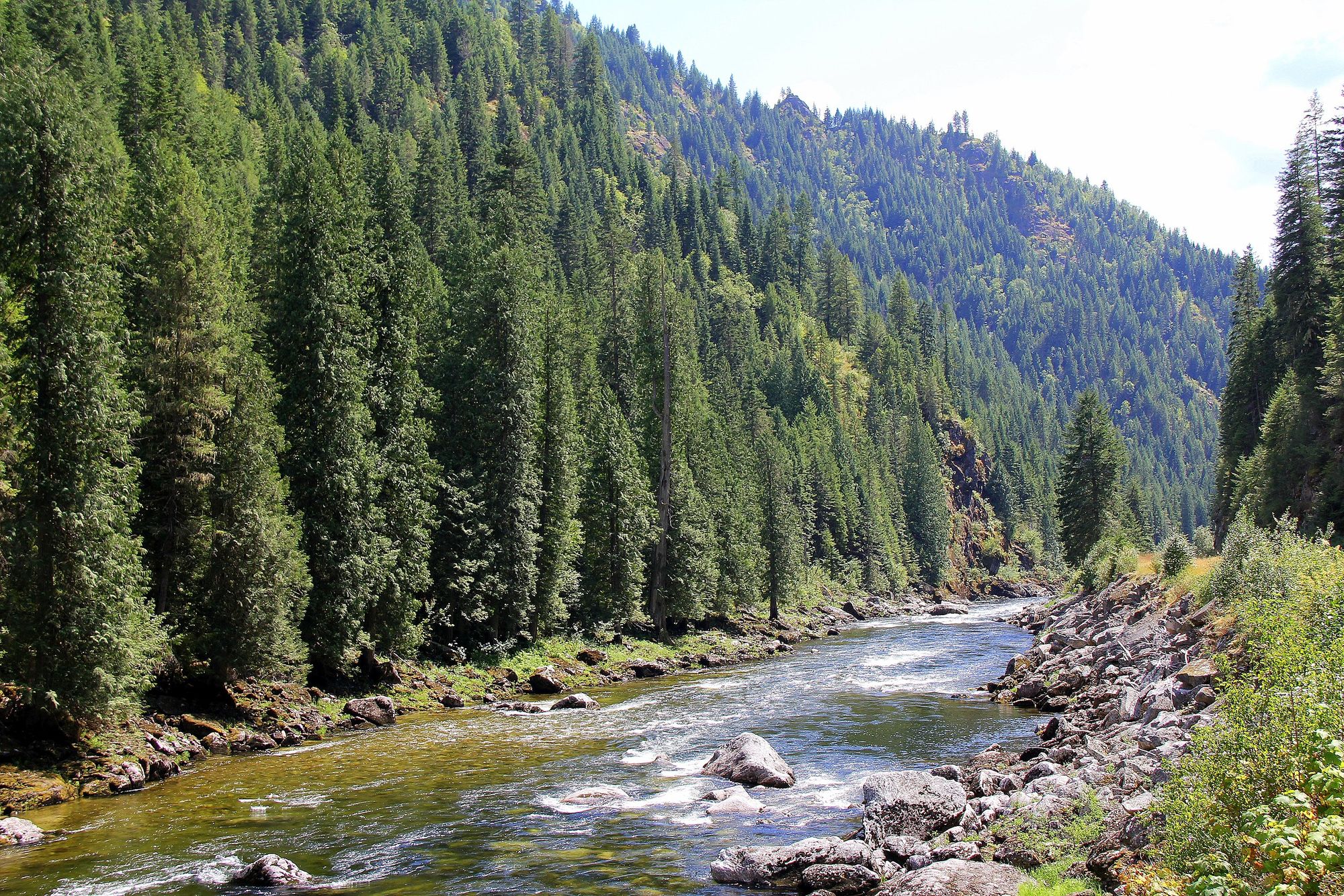
The Clearwater River in Montana is a scenic waterway that flows through the Seeley-Swan Valley in the western part of the state. Originating in the Clearwater Chain of Lakes, the river meanders northward, connecting several glacial lakes before joining the Blackfoot River. This river system forms an integral part of the larger Columbia River watershed. The Clearwater Chain of Lakes, including Rainy Lake, Lake Alva, Lake Inez, Seeley Lake, Placid Lake, and Salmon Lake, offers excellent flatwater paddling opportunities. The river itself provides a mix of gentle flows and marshy sections, making it ideal for canoeists and kayakers of various skill levels.
One of the most popular paddling routes is the Clearwater River Canoe Trail, a 3.5-mile stretch that flows through a dense willow marsh. This section, also known as the Seeley Lake Section, offers an exceptional 1-2 hour trip suitable for beginners and families. The put-in is at Riverpoint Campground, 4 miles north of Seeley Lake on Montana Highway 83, with the take-out at the Seeley Lake Ranger Station. The river's difficulty ranges from flatwater to gentle Class I rapids, making it accessible to paddlers with basic skills. However, some sections may require more experience, especially during high water periods in late spring and early summer.
The Clearwater River valley boasts rich biodiversity. Paddlers can expect to see a variety of wildlife, including moose, deer, bears, and numerous bird species. The dense willow marshes and surrounding coniferous forests create a lush, verdant environment. Key landmarks include the various lakes in the chain, each offering unique features and camping opportunities. The Lolo National Forest surrounds much of the river, providing additional recreational options.
Access points are numerous, with well-developed campgrounds and day-use areas along MT-83. The town of Seeley Lake serves as the primary gateway to the river, offering amenities and services for visitors. Historically, the Clearwater River and its chain of lakes have been important to Native American tribes and early settlers. Today, it plays a crucial role in the region's ecology and recreational economy.
Safety considerations include being aware of weather conditions, as mountain storms can develop quickly. While motorized boats are allowed on some sections at no-wake speeds, paddlers should remain vigilant. Always wear a life jacket and check local regulations before your trip.
For those seeking a multi-day adventure, it's possible to link various lakes and river sections, camping at designated sites along the way. This allows for a comprehensive exploration of the Clearwater Chain of Lakes and the connecting river segments, offering a unique perspective on this beautiful Montana watershed.
Curated routes
Hand-picked by the PaddleWays team, with put-ins, take-outs, paddle times and the hazards along the way.
RouteFlatwater
RouteFlatwater
Hazards
No hazards are marked on Clearwater River yet. That is not the same as none being there: if you find one, report it for the next paddler.
From the community
Nobody has shared a trip on Clearwater River yet. Paddle it, then tell the next paddler how it went.
See exactly where the public can get on and off the river. Launch points and boat ramps are paired with PaddleWays' public land data so you know where you can legally land.
Public shoreline
49%of the river's shoreline is public
Most of the riverbank is private. Launch, land and camp only at public access points.
Flows, weather and a route-by-route verdict, so you know which stretch of the Clearwater River is worth paddling today.
All Flow Stations
Live flows, marked hazards and fresh trip reports from paddlers who were just on the water, all in one place.





Every user gets free access to launch points, boat ramps, and public property parcels.
Loading popular cities...
PaddleWays gives you everything you need to plan smarter, paddle better, and own every trip from first launch to takeout.