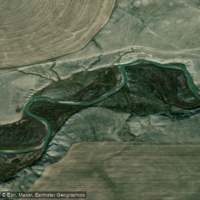
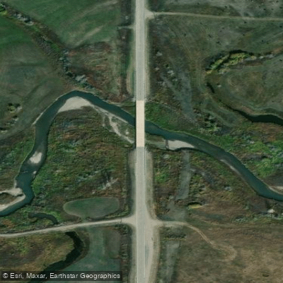
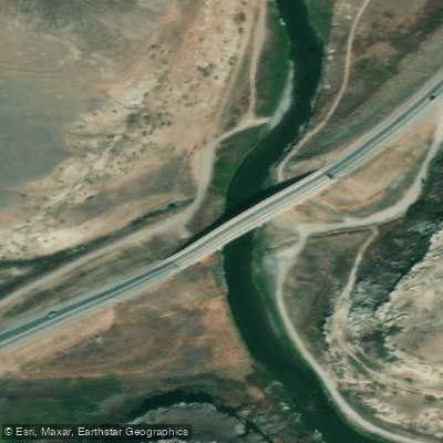
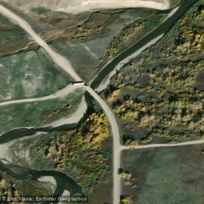
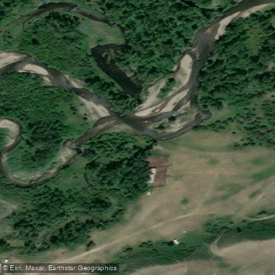
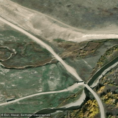
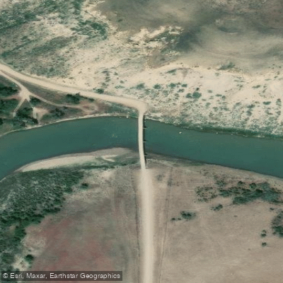
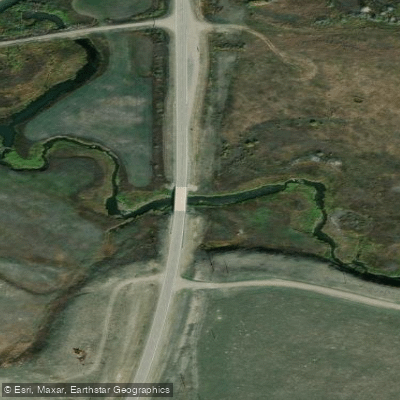
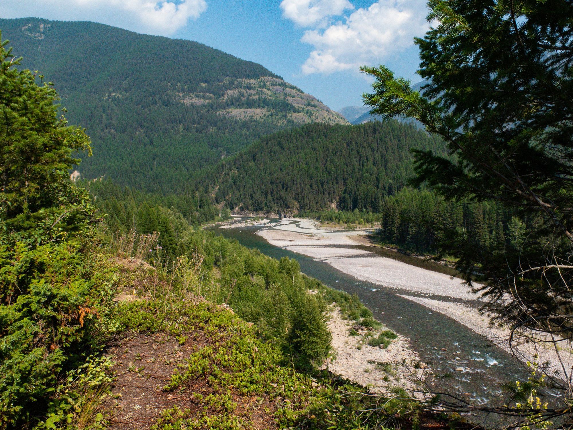
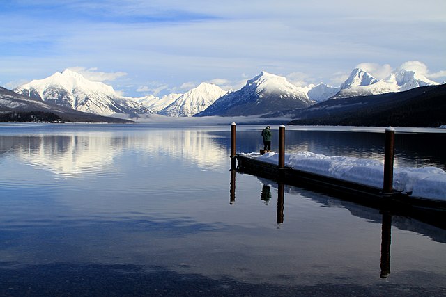
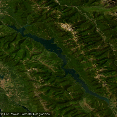
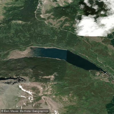
Cut Bank Creek originates in the dramatic high country of Glacier National Park, flowing from near Pitamakan Lake at Mount Morgan along the east side of the Continental Divide. The creek carves a roughly 75-mile journey eastward through the Rocky Mountain Front before turning south-southeast across the Montana plains to join the Two Medicine River, where together they form the headwaters of the Marias River near the town of Cut Bank.
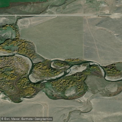
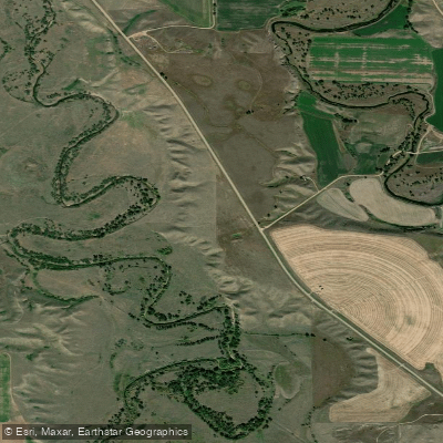
The creek's character transforms dramatically along its course. Within Glacier National Park, it flows through a protected wilderness valley accessible via a 5-mile dirt road off Highway 89, leading to the primitive Cut Bank Campground with its 14 tent sites. The campground serves as a trailhead for backcountry adventures to destinations like Medicine Grizzly Lake and Triple Divide Pass. As the creek exits the mountains, it cuts through steep-banked coulees that create protective canyons lined with cottonwood trees, providing habitat for hundreds of cliff swallows whose gourd-shaped mud nests cling to the canyon walls.
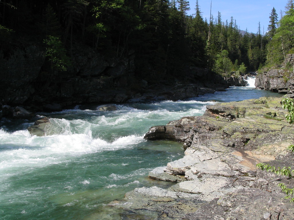
Paddling Cut Bank Creek presents significant challenges that define it as an expedition-level undertaking rather than a recreational float. The approximately 75 miles from Cut Bank Campground to the Two Medicine River confluence rates Class I-II, but this classification understates the difficulty. The creek runs shallow and boulder-strewn through much of its length, requiring frequent portaging and lining. Paddlers should expect to spend more time walking canoes than paddling them, particularly in the upper reaches. The journey typically requires multiple days, with documented trips taking seven days to reach the Two Medicine confluence while carrying five days of provisions.
Historical significance permeates this drainage. Meriwether Lewis traveled up Cut Bank Creek in July 1806, accompanied by Reubin Field, Joseph Field, and George Drouillard, seeking to determine how far north the Marias River system extended. The Cut Bank Creek Coulee Trail near the town of Cut Bank offers interpretive signage and views of the Rocky Mountain Front that mirror what the expedition witnessed.
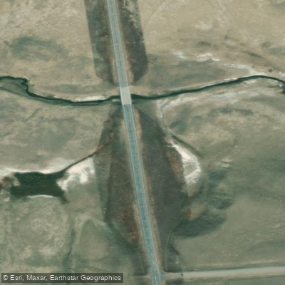
Access begins at Cut Bank Campground in Glacier National Park, where visitors must bring their own water or filtration systems, as the primitive facility lacks running water. The creek lies considerably below the campground level, complicating water access. The town of Cut Bank, located where Highway 89 crosses the creek, provides the primary civilization contact point along the route.
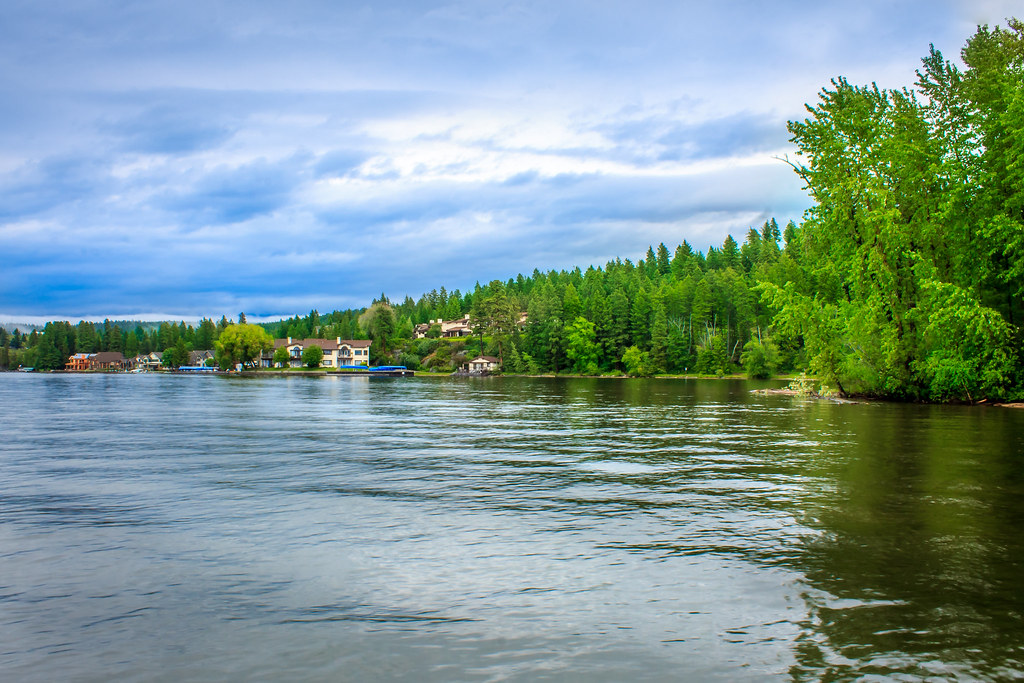
This creek demands self-sufficiency, strong wilderness skills, and realistic expectations about paddling conditions. The journey rewards those prepared for its challenges with solitude, wildlife encounters, and passage through one of Montana's less-traveled corridors from mountain to prairie.