Milk River
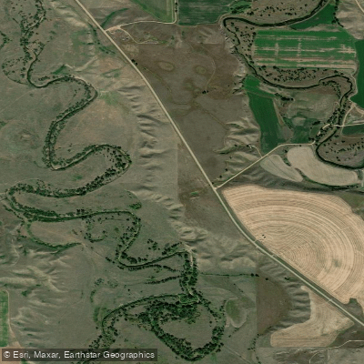
Milk River
- Boat Ramps
- 0
- Access Points
- 2
- Campsites
- 2
The Milk River, originating in Montana's Glacier County, flows northward into Alberta, Canada before turning southeast and re-entering Montana, eventually joining the Missouri River. This unique U-shaped international watercourse spans approximately 729 miles (1,173 km), with its primary watershed covering parts of Montana and southern Alberta. Paddling on the Milk River is primarily concentrated in the Alberta section, offering a mix of scenic prairie landscapes and challenging rapids. The most popular route runs from the town of Milk River to Writing-on-Stone Provincial Park, a distance of about 33 miles (53 km). This section typically takes 3 days to complete and is rated as Class II-III, suitable for intermediate paddlers with competent maneuvering skills in fast water.
The river's difficulty ranges from Class I to III, with the upper sections featuring midstream rocks and sharp turns that require careful navigation. Paddlers should be prepared for large rocks and fast turns around cliff bands, especially in the stretch from Coffin Bridge to Writing-on-Stone. The best time for paddling is typically late spring to early summer when water levels are optimal. By August, water levels can drop significantly, making some sections impassable.
The Milk River flows through unique prairie and badlands ecosystems, home to diverse wildlife including pronghorn antelope, mule deer, and various bird species. The river corridor is known for its striking sandstone formations and hoodoos, particularly visible in Writing-on-Stone Provincial Park. Key landmarks include Gold Springs Campground, Coffin Bridge, Poverty Rock, and Writing-on-Stone Provincial Park. The park is particularly significant, featuring ancient Indigenous rock art and serving as the endpoint for many trips.
Popular access points include the town of Milk River, Gold Springs Campground, and Coffin Bridge. The nearest major city is Lethbridge, Alberta, about 65 km northwest of the town of Milk River. The river holds great historical and cultural significance, particularly for Indigenous peoples who have inhabited the area for thousands of years. The rock art at Writing-on-Stone is a testament to this rich heritage.
Safety considerations include being prepared for remote wilderness, potential extreme weather, and challenging water conditions. Paddlers should be self-sufficient and carry appropriate safety gear. Multi-day trip options are common, with the most popular being the 3-day journey from Milk River town to Writing-on-Stone. Longer trips can start as far upstream as Whisky Gap, covering up to 82 miles over 4-5 days.
Water access, boat ramps & amenities
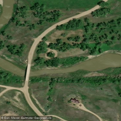
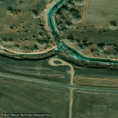
Learn how to get on Milk River. Uncover great paddling access points, boat ramps, and all the facilities you need for an unforgettable day on the water. Some locations shown may border or include private property. Always check property boundaries and applicable regulations before visiting. PaddleWays's Public & Private Land layer can help you plan your access with confidence.
Paddle smarter with real-time insights
Whether you're en route and conditions shift or you're looking for the best spot based on current flows, we enable you to make informed decisions on the fly.








Find Places to Paddle

Over 400,000 Places to Paddle
Every user gets free access to launch points, boat ramps, and public property parcels.


Water and weather conditions (10 day forecast)
See the best times to paddle Milk River and check the forecast before you go.
Milk River at Eastern Crossing of Int Bndry
All Flow Stations
Paddling near Milk River

Missouri River
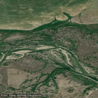
Sun River
Smith River
Belt Creek
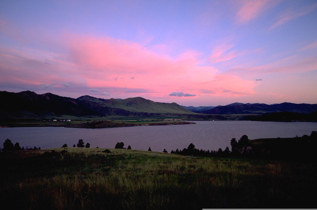
Holter Lake
Benton Lake
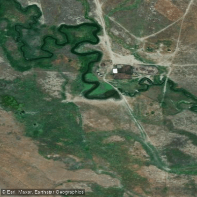
Little Muddy Creek
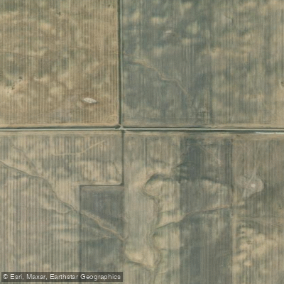
Marias River
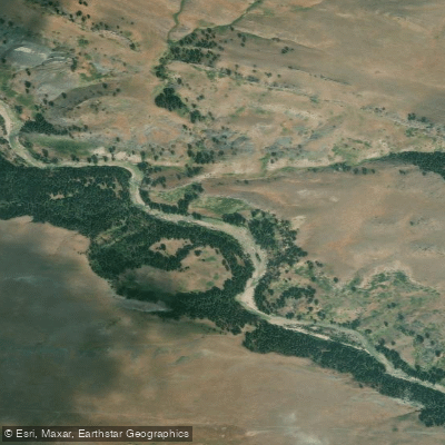
Dearborn River
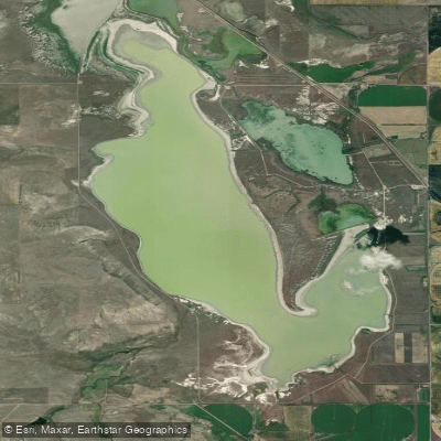
Freezeout Lake
Explore Montana waters
Top paddling waters
Popular Cities
Loading popular cities...
Explore near Milk River
Access points
Nearby waters
More in Montana

Smarter Paddling Starts in the App.
Paddleways gives you everything you need to plan smarter, paddle better, and own every trip from first launch to takeout.