Hungry Horse Reservoir
Hungry Horse Reservoir
- Boat Ramps
- 3
- Access Points
- 3
- Campsites
- 13
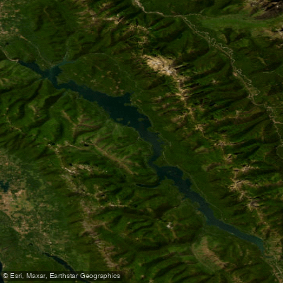
Hungry Horse Reservoir is a 34-mile long, 23,800-acre body of water located in Montana's Flathead National Forest, about 15 miles from Glacier National Park's west entrance. The reservoir, created by the 564-foot Hungry Horse Dam on the South Fork Flathead River, offers diverse paddling opportunities amid scenic mountain vistas.
Access is available via West Side Reservoir Road #895 and East Side Reservoir Road #38, which meet 55 miles southeast near Spotted Bear Ranger Station. Key put-in locations include Doris Point, Cedar Flats (river mile 57), South Fork Access (mile 47), and Upper Twin Creek Access (mile 42). The reservoir narrows into the South Fork Flathead River at its southern end.
Paddlers should be aware of potential hazards like submerged boulders, occasional wood debris, and one Class II rapid about 2 miles downstream from Billy Garrett Bridge. Dam releases can cause rapid water level changes. There is no cell service in most areas.
The reservoir is best paddled from late July through early fall when water levels are lower. Summer water activities are popular, including fishing for cutthroat trout, bull trout, and whitefish. The surrounding conifer forests and mountain peaks provide a picturesque backdrop, with opportunities for wildlife viewing.
Over a dozen campgrounds line the shores, offering amenities for multi-day trips. Doris Creek and Emery Bay campgrounds are conveniently located within 20 miles of Glacier National Park. Paddlers can also access remote island campsites on Elk Island and Fire Island.
When planning a trip, be prepared for limited services along the reservoir roads. Fill up on gas and supplies in the town of Hungry Horse before heading out. Practice Leave No Trace principles and be aware of the presence of grizzly bears in the area.
Water access, boat ramps & amenities
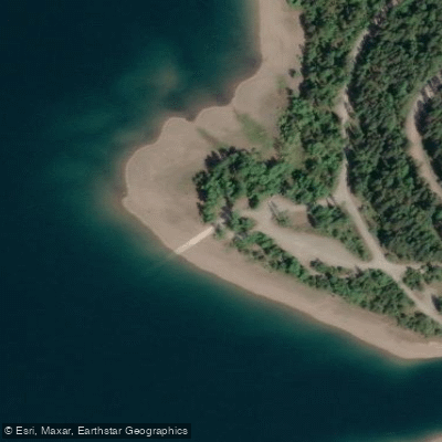
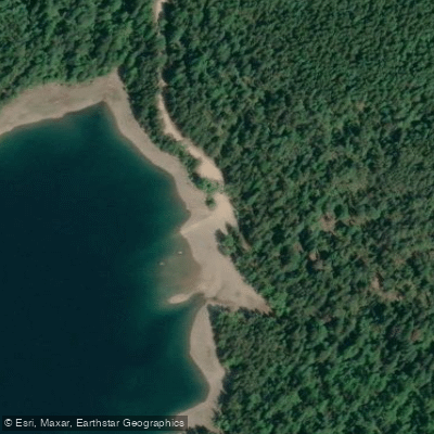
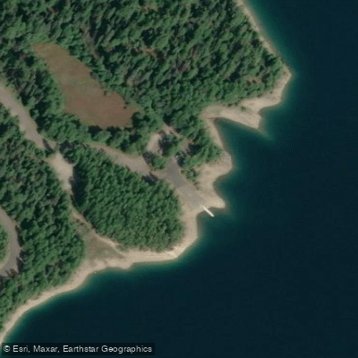
Learn how to get on Hungry Horse Reservoir. Uncover great paddling access points, boat ramps, and all the facilities you need for an unforgettable day on the water. Some locations shown may border or include private property. Always check property boundaries and applicable regulations before visiting. PaddleWays's Public & Private Land layer can help you plan your access with confidence.
Paddle smarter with real-time insights
Whether you're en route and conditions shift or you're looking for the best spot based on current flows, we enable you to make informed decisions on the fly.








Find Places to Paddle

Over 400,000 Places to Paddle
Every user gets free access to launch points, boat ramps, and public property parcels.


Water and weather conditions (10 day forecast)
See the best times to paddle Hungry Horse Reservoir and check the forecast before you go.
No forecast data available.
Paddling near Hungry Horse Reservoir
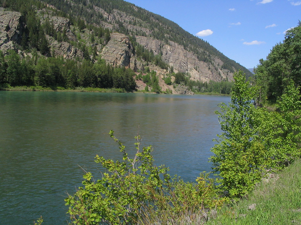
Flathead River
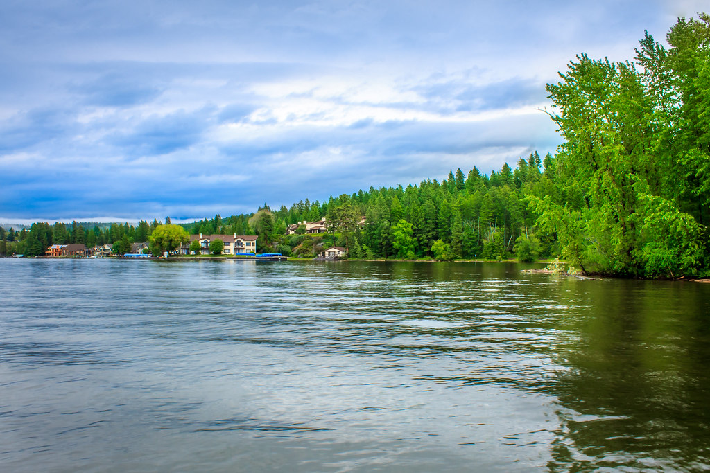
Flathead Lake
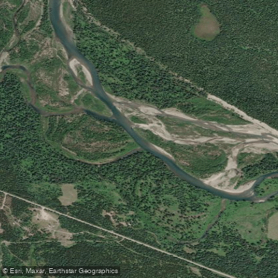
North Fork Flathead River
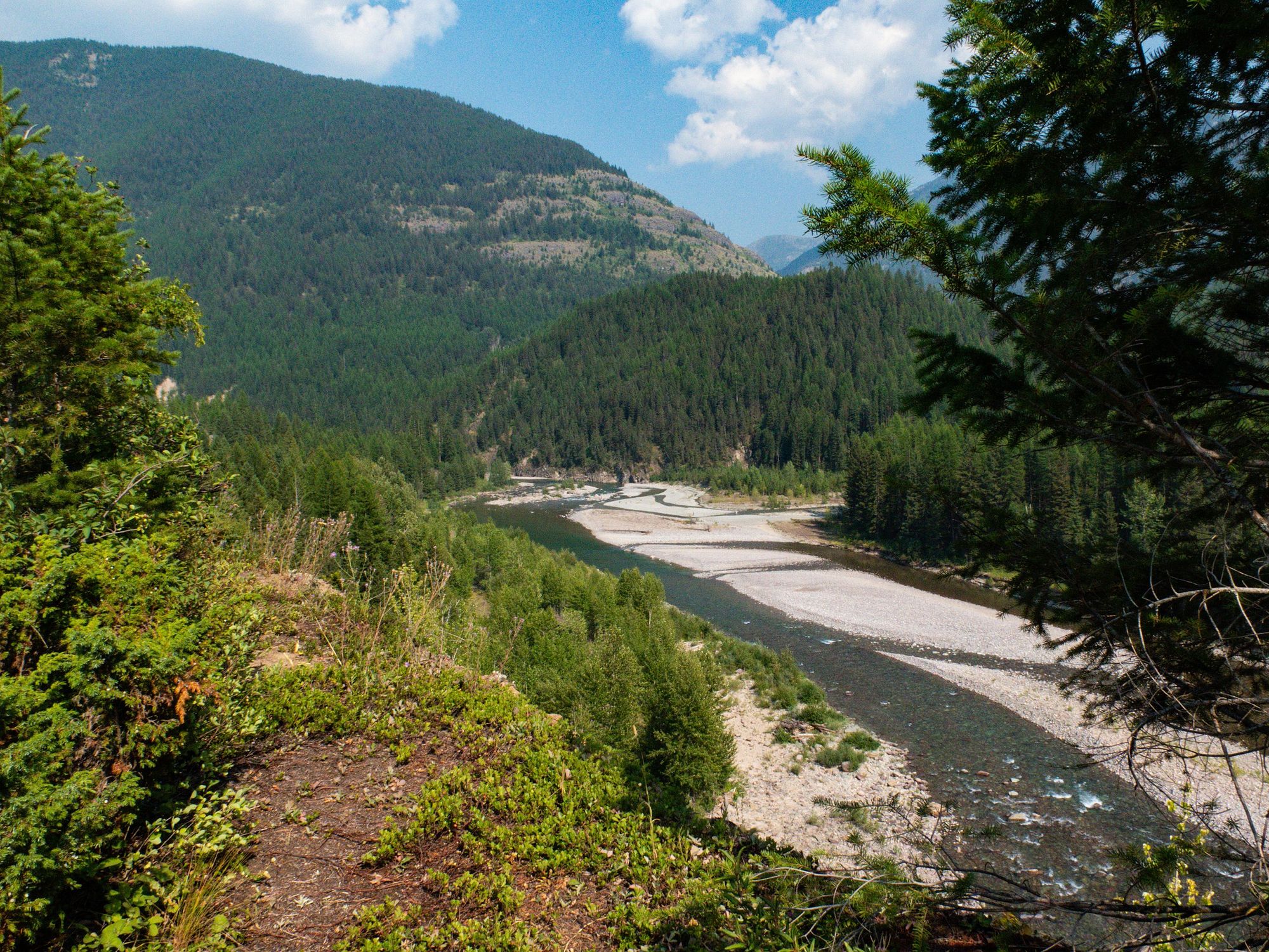
Middle Fork Flathead River
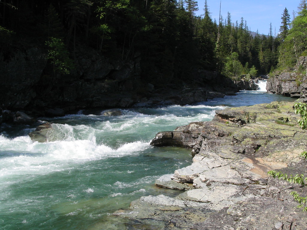
McDonald Creek
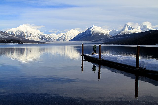
Lake McDonald
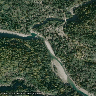
South Fork Flathead River
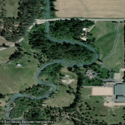
Whitefish River
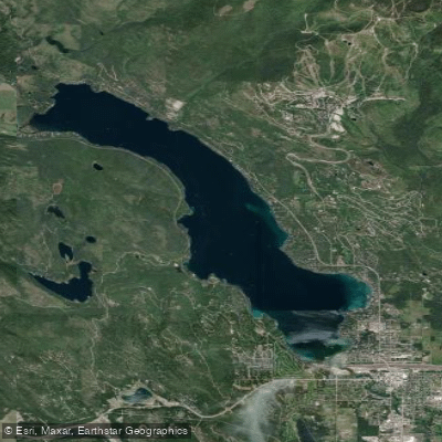
Whitefish Lake
Explore Montana waters
Top paddling waters
Popular Cities
Loading popular cities...
Explore near Hungry Horse Reservoir
Access points
Nearby waters
More in Montana

Smarter Paddling Starts in the App.
Paddleways gives you everything you need to plan smarter, paddle better, and own every trip from first launch to takeout.