East Gallatin River
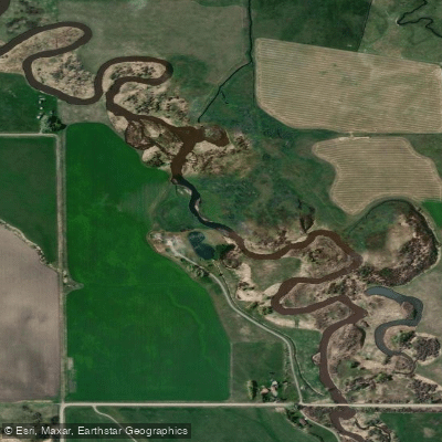
East Gallatin River
- Boat Ramps
- 0
- Access Points
- 9
- Campsites
- 0
The East Gallatin River is a scenic waterway in southwestern Montana, originating near Bozeman and flowing northwest for approximately 42 miles before joining the main Gallatin River. This tributary is an important part of the greater Gallatin watershed, which ultimately feeds into the Missouri River system. The East Gallatin offers a mix of paddling opportunities, from calm scenic floats to more challenging whitewater sections.
The river is best known for its peaceful stretches suitable for beginners and families, particularly the 6-mile Beginner's Stretch from the East Fork confluence to Logan Bridge. This section features Class I-II rapids, making it ideal for those new to river paddling or looking for a relaxed experience. For more experienced paddlers, the river provides some exciting whitewater, especially during spring runoff. The Mad Mile section near Moose Flat offers Class IV-V rapids and is a popular test piece for skilled kayakers in the region. This intense stretch drops nearly 100 feet per mile, creating a thrilling experience for those with advanced skills.
The East Gallatin's flow is heavily influenced by snowmelt, with peak flows typically occurring in late spring to early summer. Late summer and early fall offer lower water levels, which can be ideal for fishing and scenic floating. The river corridor supports a diverse ecosystem, with wildlife such as elk, deer, and various bird species often visible from the water.
Key landmarks along the river include the picturesque Gallatin Valley, Storm Castle Peak, and the confluence with the main Gallatin River. Popular access points include put-ins near Belgrade and take-outs at Logan Bridge, providing easy logistics for day trips.
Historically, the East Gallatin played a role in the exploration of the American West, with William Clark noting the river's abundance of beaver during his 1806 expedition. Today, the river remains an important resource for local communities, supporting agriculture, recreation, and wildlife.
Safety considerations include being prepared for rapid changes in weather and water conditions, especially during spring runoff. Paddlers should be aware of potential hazards such as strainers and should always wear appropriate safety gear. Some sections of the river may have specific regulations regarding fishing and boating, so checking local guidelines is advised.
While primarily used for day trips, the East Gallatin's connection to the larger Gallatin River system offers potential for multi-day adventures for those looking to explore more of Montana's beautiful waterways. Whether seeking a peaceful float or an adrenaline-pumping paddle, the East Gallatin River provides a quintessential Montana river experience.
Water access, boat ramps & amenities
Learn how to get on East Gallatin River. Uncover great paddling access points, boat ramps, and all the facilities you need for an unforgettable day on the water. Some locations shown may border or include private property. Always check property boundaries and applicable regulations before visiting. PaddleWays's Public & Private Land layer can help you plan your access with confidence.
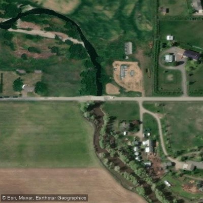
Airport Road Access
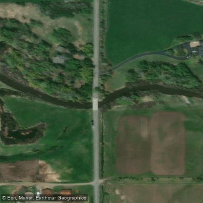
Manley Bridge Access
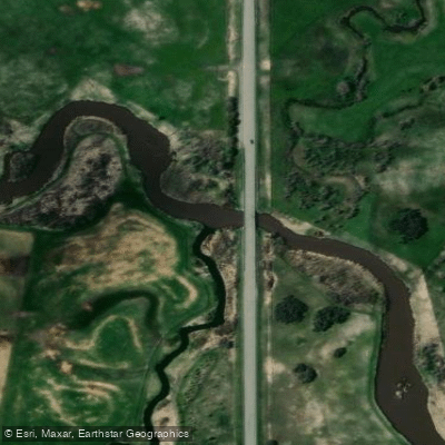
Dry Creek Road Access
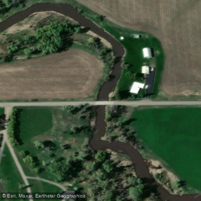
Penwell Bridge Access
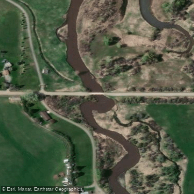
Hamilton Road Bridge Access
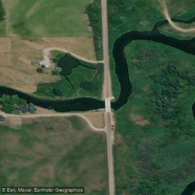
Swamp Road Bridge Access
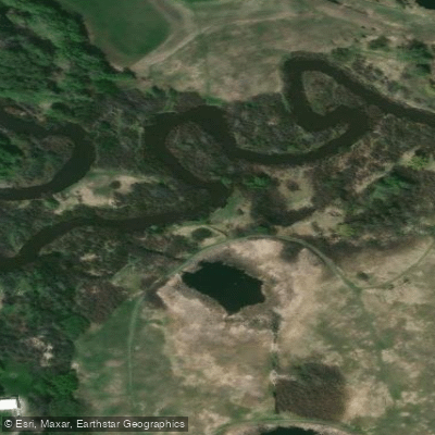
Cherry River Recreation Area Access
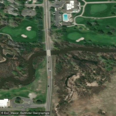
Cherry River Access
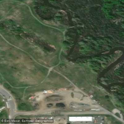
Glen Lake Rotary Park Access
Paddle smarter with real-time insights
Whether you're en route and conditions shift or you're looking for the best spot based on current flows, we enable you to make informed decisions on the fly.








Find Places to Paddle

Over 400,000 Places to Paddle
Every user gets free access to launch points, boat ramps, and public property parcels.


Water and weather conditions (10 day forecast)
See the best times to paddle East Gallatin River and check the forecast before you go.
E Gallatin R ab Water Reclamation Fa nr Bozeman MT
All Flow Stations
Paddling near East Gallatin River

Missouri River
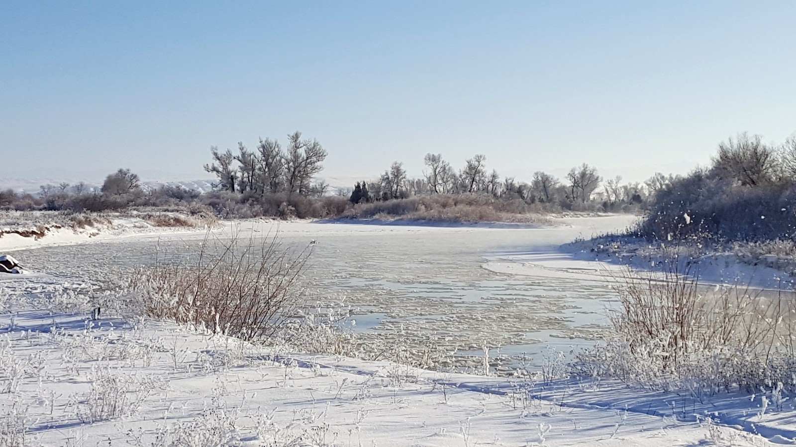
Jefferson River
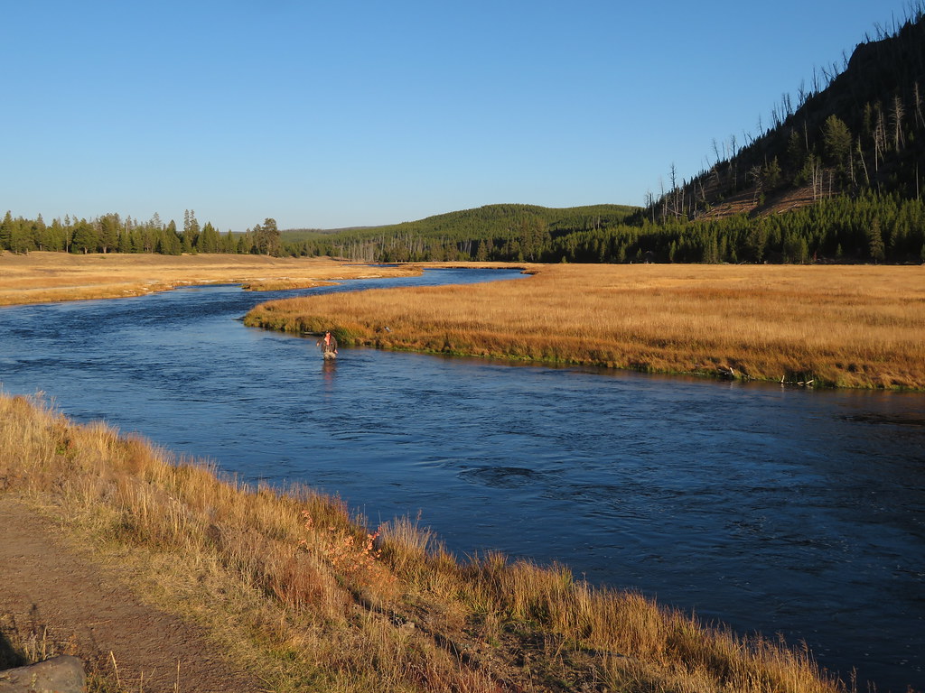
Madison River
Boulder River

Boulder River
Gardner River
Gallatin River
Yellowstone River
Hyalite Creek
Explore Montana waters
Top paddling waters
Popular Cities
Loading popular cities...
Explore near East Gallatin River
Access points
Nearby waters
More in Montana

Smarter Paddling Starts in the App.
Paddleways gives you everything you need to plan smarter, paddle better, and own every trip from first launch to takeout.