Boulder River

Boulder River
- Boat Ramps
- 4
- Access Points
- 8
- Campsites
- 10
Boulder River offers some of Montana's most challenging and rewarding whitewater paddling, flowing sixty miles from the Absaroka-Beartooth Wilderness through Park County to its confluence with the Yellowstone River near Big Timber. This technical mountain river drops over 7,000 vertical feet through dramatically changing terrain, creating distinct paddling experiences from wilderness gorges to agricultural valleys.
Upper Sections: Expert Territory The most demanding paddling begins with the Fourmile to Speculator Creek section, a Class III-V gauntlet that challenges even expert kayakers. This four-mile stretch through "Hell's Canyon" requires precise boat control and strong rescue skills. You'll encounter continuous technical rapids with limited eddies and significant consequences for mistakes.
Downstream, the Speculator Creek to Chippy Park Campground run maintains Class III-IV difficulty over five miles. While slightly more forgiving than the upper gorge, this section still demands intermediate-to-advanced skills with its boulder gardens and steep gradient.
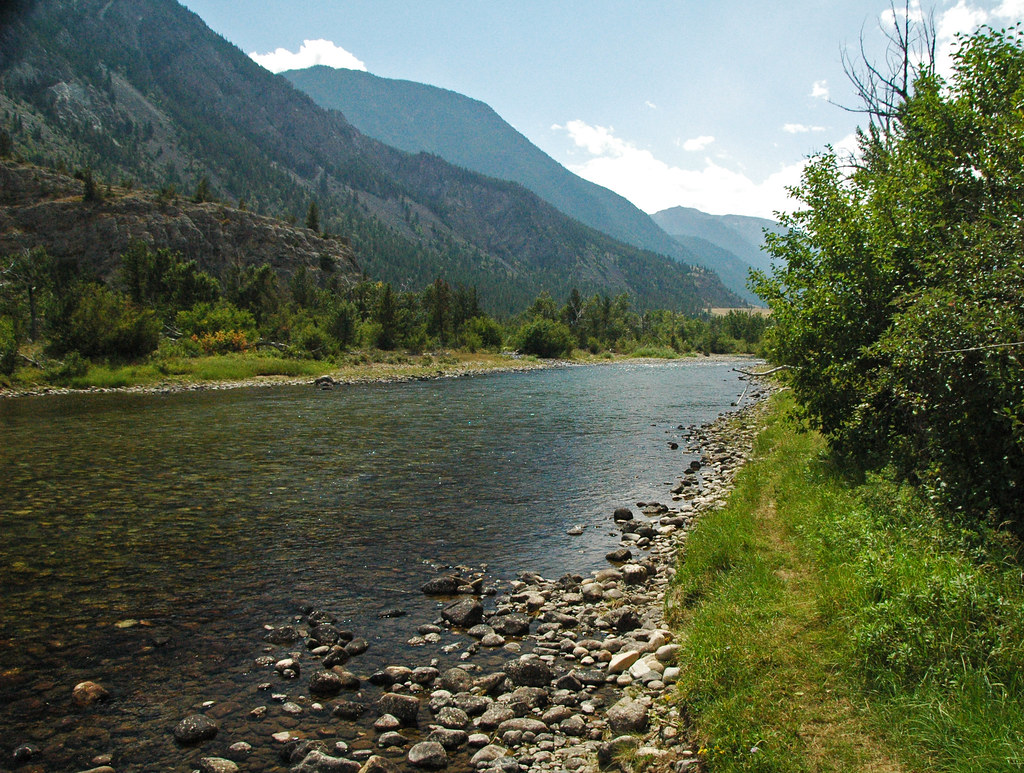
Middle River: The Sweet Spot Most paddlers find their rhythm on the Chippy Park Campground to Boulder Falls section, offering nine miles of sustained Class II-III whitewater. This stretch provides the perfect introduction to Boulder River's character—crystal-clear water tumbling through endless boulder fields with excellent pocket water fishing opportunities. The scenery here showcases the Absaroka Range's dramatic peaks while maintaining reasonable difficulty for intermediate paddlers.
Access Chippy Park Campground via the Boulder River Road (Highway 298), which follows the river for much of its length. The road turns to gravel at the Gallatin National Forest boundary but remains suitable for most vehicles.
Lower Sections: Float and Fish Below Boulder Falls, the river's character shifts dramatically. The McLeod to Highway bridge section offers Class III water through an expanding valley lined with cottonwoods and working ranches. This four-and-a-half-mile stretch provides excellent fishing access and more forgiving rapids.
The West Boulder River confluence near McLeod adds significant volume, creating the Gallatin National Forest boundary to Boulder River section—fourteen miles of Class II-III water perfect for raft-supported fishing trips.
Timing and Flows Boulder River paddling requires precise timing. Peak flows from snowmelt typically render the river too dangerous from late May through mid-July. The optimal window usually opens in late July and extends through early August, when flows drop to manageable levels between 800-1,400 CFS. Spring and fall offer lower-volume paddling opportunities, but you'll face frigid water temperatures and potential ice. Winter conditions make most sections inaccessible.
Natural Features and Hazards The river's name reflects its most distinctive characteristic—boulders of every size and color create the complex hydraulics that define each rapid. Natural Bridge Falls, a spectacular 105-foot waterfall, marks the transition between upper and lower river sections. While the natural bridge itself collapsed in 1988, the falls remain a stunning landmark.
Paddlers must navigate numerous hazards including undercut rocks, strainers from fallen trees, and the river's notorious slippery boulder substrate. The remote upper sections offer limited rescue access, making self-sufficiency essential.
Access and Logistics Highway 298 provides primary access from Big Timber, with the paved road extending to Natural Bridge Falls. Beyond this point, the Boulder River Road continues as gravel for approximately 25 miles into the wilderness. Multiple Forest Service campgrounds offer staging areas for multi-day adventures.
The Boulder Forks Fishing Access Site near McLeod provides excellent lower river access, while various informal pull-offs serve upper sections. Private land dominates the lower valley, limiting access options.
What Makes Boulder River Special This river rewards skilled paddlers with an authentic Montana wilderness experience. You'll encounter minimal crowds due to access limitations and technical difficulty, while the crystal-clear water and dramatic mountain scenery create an unforgettable backdrop. The combination of challenging whitewater and world-class fishing opportunities makes Boulder River unique among Montana's paddling destinations.
The river's seasonal nature and demanding character ensure that every successful Boulder River expedition feels like a genuine achievement. Whether you're threading technical lines through Hell's Canyon or enjoying pocket water fishing below the falls, Boulder River delivers the quintessential Montana mountain river experience.
Water access, boat ramps & amenities
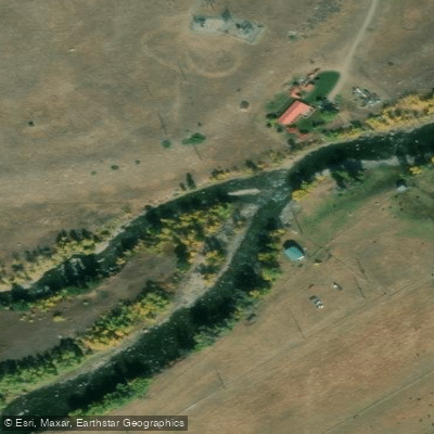
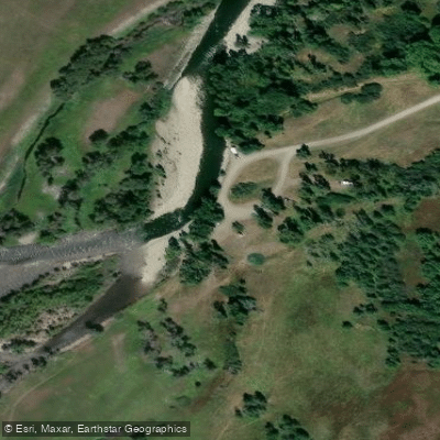
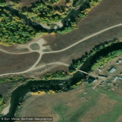
Learn how to get on Boulder River. Uncover great paddling access points, boat ramps, and all the facilities you need for an unforgettable day on the water. Some locations shown may border or include private property. Always check property boundaries and applicable regulations before visiting. PaddleWays's Public & Private Land layer can help you plan your access with confidence.
Paddle smarter with real-time insights
Whether you're en route and conditions shift or you're looking for the best spot based on current flows, we enable you to make informed decisions on the fly.








Find Places to Paddle

Over 400,000 Places to Paddle
Every user gets free access to launch points, boat ramps, and public property parcels.


Water and weather conditions (10 day forecast)
See the best times to paddle Boulder River and check the forecast before you go.
Boulder River at Big Timber MT
All Flow Stations
Paddling near Boulder River
Stillwater River
Soda Butte Creek
Lamar River
Yellowstone Lake
Gibbon River
Gardner River
Clarks Fork Yellowstone River
Yellowstone River
Rock Creek
Explore Montana waters
Top paddling waters
Popular Cities
Loading popular cities...
Explore near Boulder River
Access points
- Boulder Forks Boat Ramp
- Natural Bridge Waterfall Hand Launch
- Chippy Park Campground Launch
- Eight Mile County Bridge Boat Ramp
- Big Rock Boat Ramp
- Boulder and West Boulder River Access
- Big Rock Access
- West Boulder River Access
- Boulder River Bridge
- Boulder River Bridge
- Boulder River 045 Bridge
- Boulder River 003 Bridge
- All 51 spots
Nearby waters
More in Montana

Smarter Paddling Starts in the App.
Paddleways gives you everything you need to plan smarter, paddle better, and own every trip from first launch to takeout.