Boulder River
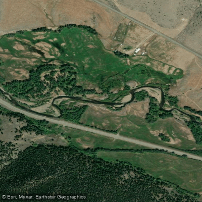
Boulder River
- Boat Ramps
- 0
- Access Points
- 12
- Campsites
- 5
The Boulder River in Jefferson County, Montana originates in the Elkhorn Mountains and flows northward through a narrow valley before joining the Jefferson River near the town of Cardwell. This tributary system drops over 7,000 feet from its headwaters, creating a dynamic waterway characterized by steep gradients and technical whitewater sections interspersed with calmer pools. The river's flow is highly seasonal, fed primarily by mountain snowpack that typically peaks in late May through mid-June. During this runoff period, flows can reach several hundred cubic feet per second, creating challenging Class III-IV conditions in the upper canyon sections. By late summer, flows diminish significantly, often dropping below 50 cfs, which can make navigation difficult in rocky sections but creates excellent conditions for wade fishing.
Access to the Boulder River is limited by the mix of private and public land ownership along its corridor. The Montana Department of Fish, Wildlife and Parks maintains several fishing access sites that provide entry points for both anglers and paddlers. The upper reaches flow through portions of the Deerlodge National Forest before entering private ranchlands in the valley bottom. The town of Boulder serves as the primary gateway community, located approximately 30 miles south of Helena.
The Boulder River supports a healthy trout fishery, including rainbow, brown, and brook trout populations. Riparian vegetation along the corridor includes willows, cottonwoods, and various shrub species that provide critical wildlife habitat. The surrounding landscape transitions from montane forest in the headwaters to sagebrush-grassland ecosystems in the lower valley.
Water management considerations significantly impact the Boulder River system. As documented in regional water planning efforts, the river has instream flow rights held by Montana Fish, Wildlife and Parks to maintain minimum flows for aquatic habitat. During drought years, coordination between irrigators and resource managers becomes essential to balance agricultural needs with ecological requirements.
The Boulder River valley has historical significance dating to early settlement periods, with ranching operations established in the late 1800s. Mining activity in the Elkhorn Mountains also influenced the watershed's development, though agriculture remains the dominant land use today.
Paddlers should be aware that the Boulder River's character changes dramatically with water levels. Spring runoff creates powerful hydraulics and requires advanced whitewater skills, while summer flows may necessitate frequent portaging over shallow sections. Local water users maintain irrigation infrastructure that paddlers must navigate carefully, and private property boundaries require respectful passage through the corridor.
Water access, boat ramps & amenities
Learn how to get on Boulder River. Uncover great paddling access points, boat ramps, and all the facilities you need for an unforgettable day on the water. Some locations shown may border or include private property. Always check property boundaries and applicable regulations before visiting. PaddleWays's Public & Private Land layer can help you plan your access with confidence.
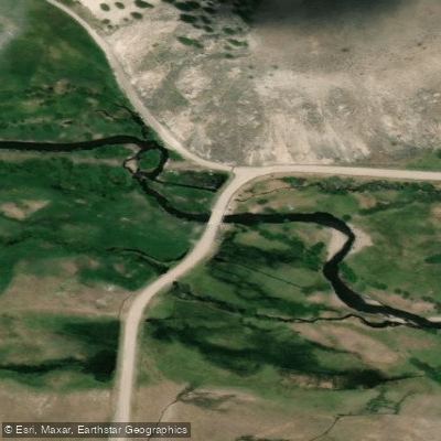
Red Rock Road Access
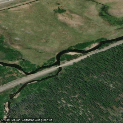
Bison Creek Access
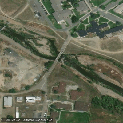
Town of Boulder Access
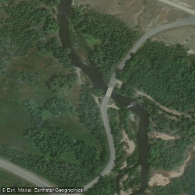
White Bridge Road Access
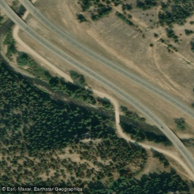
Cattle Drive Access
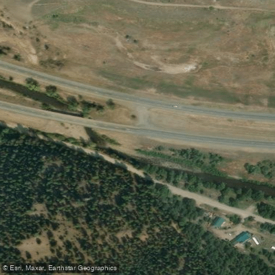
I-15 Access
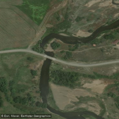
Hubbard Lane Bridge Access
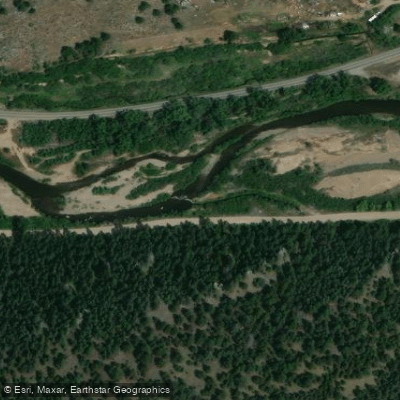
Cattle Drive Access
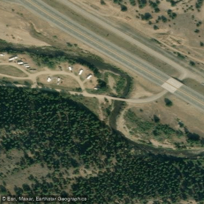
Galena Gulch Road Access
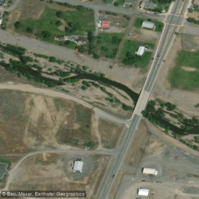
Route 69 Access
Paddle smarter with real-time insights
Whether you're en route and conditions shift or you're looking for the best spot based on current flows, we enable you to make informed decisions on the fly.








Find Places to Paddle

Over 400,000 Places to Paddle
Every user gets free access to launch points, boat ramps, and public property parcels.


Water and weather conditions (10 day forecast)
See the best times to paddle Boulder River and check the forecast before you go.
Boulder River near Boulder MT
All Flow Stations
Paddling near Boulder River
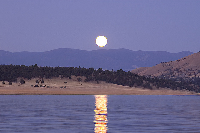
Hauser Lake

Missouri River
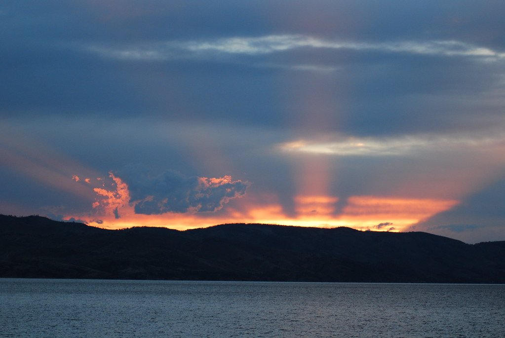
Canyon Ferry Lake
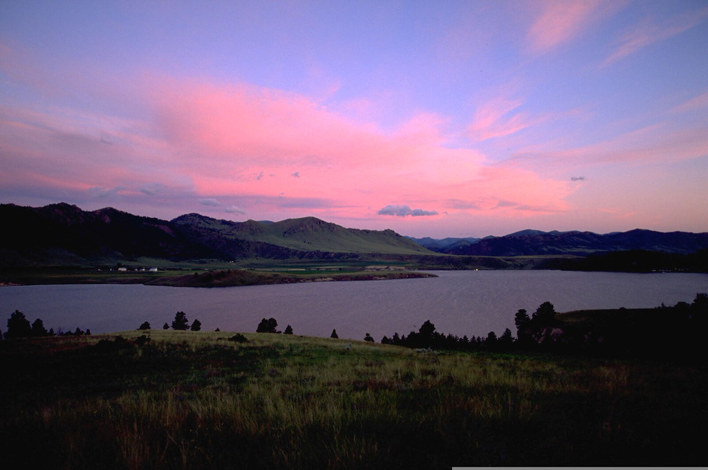
Holter Lake
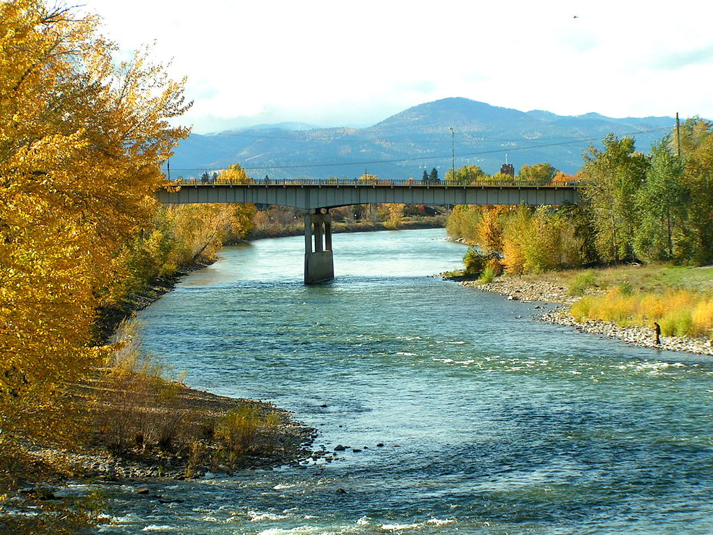
Clark Fork
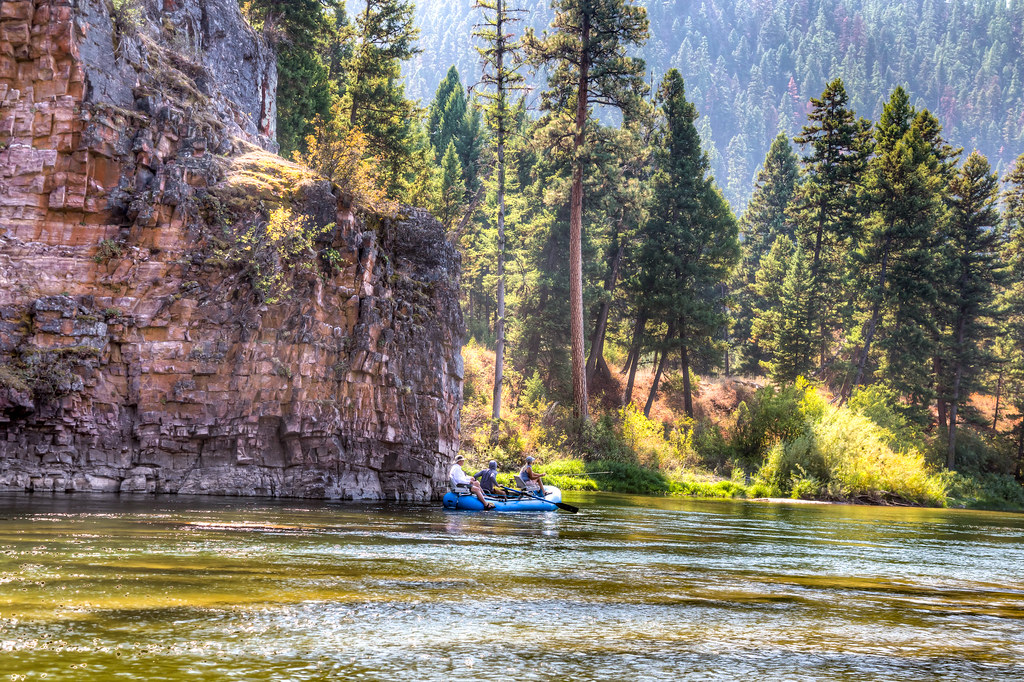
Blackfoot River
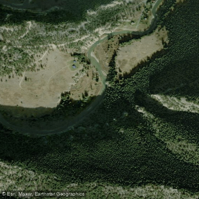
Smith River
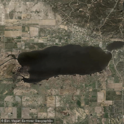
Lake Helena
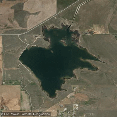
Helena Valley Regulating Reservoir
Explore Montana waters
Top paddling waters
Popular Cities
Loading popular cities...
Explore near Boulder River
Access points
Nearby waters
More in Montana

Smarter Paddling Starts in the App.
Paddleways gives you everything you need to plan smarter, paddle better, and own every trip from first launch to takeout.