Curated by PaddleWays
RouteClass II–III
- Distance
- 16.5 mi
- Paddle time
- ~4 hrs
- Put-in → take-out
- Clearwater Crossing Launch → Ralph's Takeout
Proposed ban on paddling Fish Creek
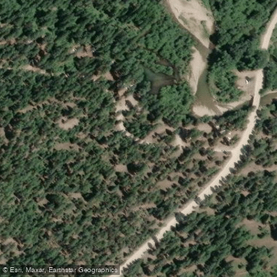
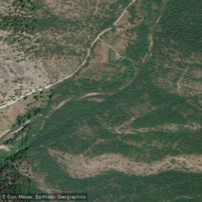
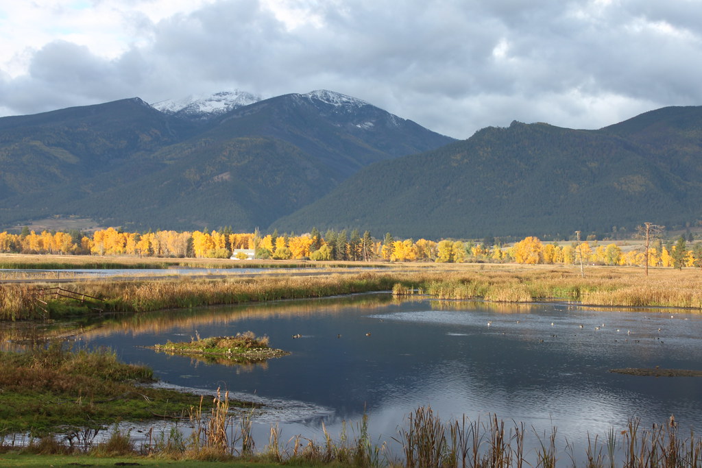
Fish Creek originates in the high country of the Lolo National Forest near the Idaho-Montana border, flowing roughly 25 miles eastward through Mineral County before joining the Clark Fork River at the Alberton Gorge. The watershed encompasses over 45,000 acres of state-managed lands, including Fish Creek State Park and the Fish Creek Wildlife Management Area, established in 2010 as part of the Montana Legacy Project. The creek descends through a recovering landscape marked by historic logging and the catastrophic 1910 "Great Burn" wildfire, now regenerating into productive habitat.
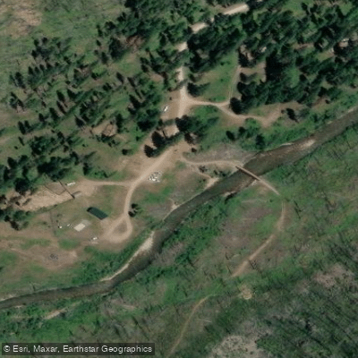
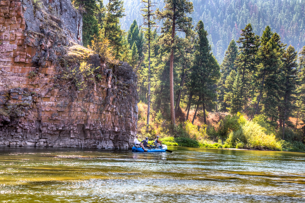
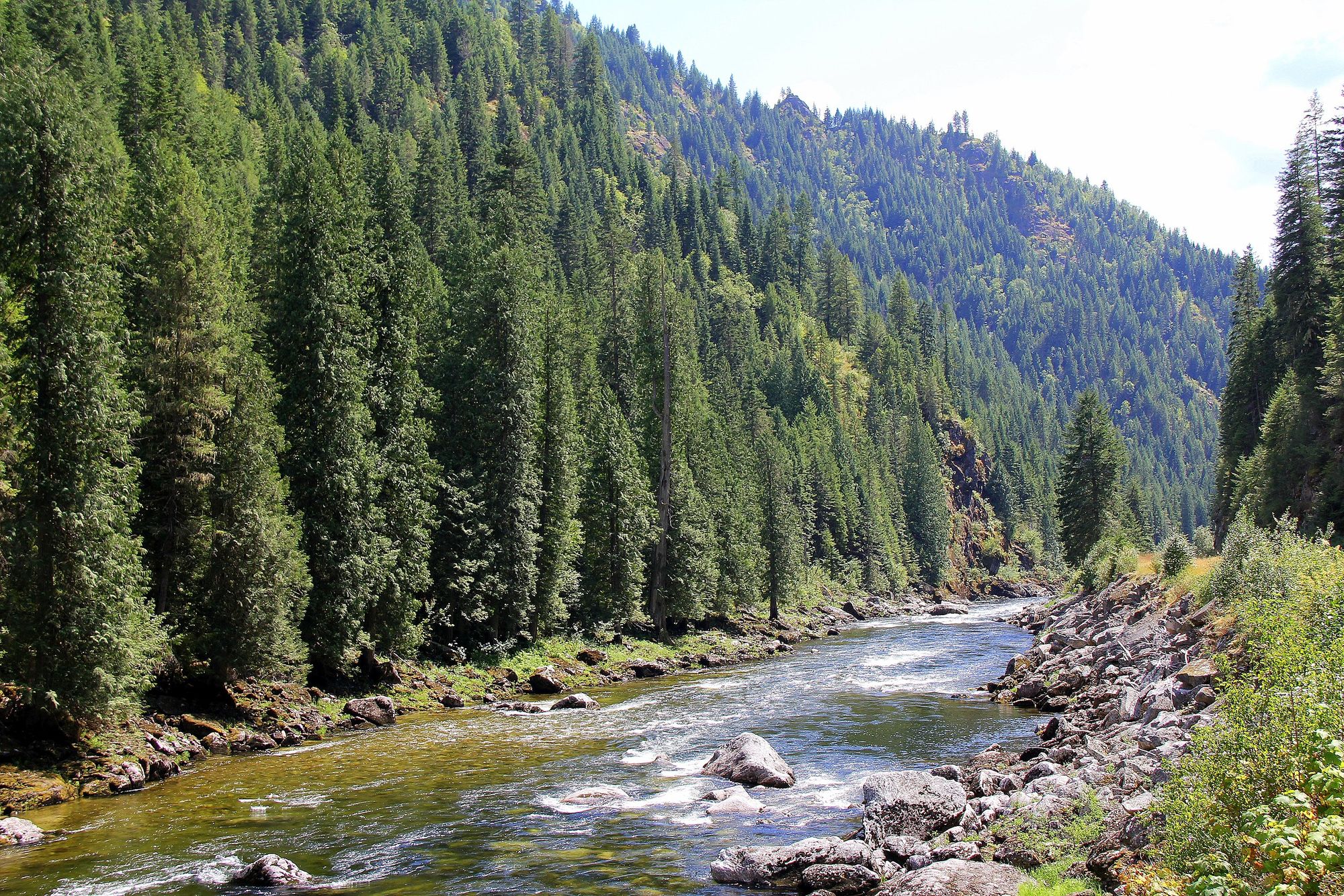
The lower four-mile section of Fish Creek, from Clearwater Crossing to the Lolo National Forest boundary, offers whitewater paddling opportunities ranging from Class II to Class III+ depending on seasonal flows. This stretch features bedrock rapids, boulder gardens, and technical drops shaped by the area's unique geology. The Alberton Gorge confluence provides a dramatic takeout, where Fish Creek's clear waters meet the larger Clark Fork. Paddlers should note that Montana Fish, Wildlife & Parks has considered floating restrictions to protect critical fish habitat, particularly concerning woody debris removal. As of recent planning documents, recreational floating remains a relatively new activity on this creek, with management emphasizing habitat protection.
Fish Creek serves as the Middle Clark Fork River's primary drainage for Bull Trout spawning and rearing, designated as critical habitat under the Endangered Species Act. The watershed supports over 20 populations of native Westslope Cutthroat Trout, many genetically pure. Riparian corridors host diverse wildlife including moose, elk, black bears, mountain lions, and wolves, with eagles and ospreys frequently observed overhead. The creek's exceptional water quality stems from its extensive roadless headwaters in the Proposed Great Burn Wilderness.
The most accessible put-in lies near Exit 66 off Interstate 90, approximately 35 miles west of Missoula and 15 miles east of Superior. The town of Alberton provides the nearest services. Big Pine and Forks Fishing Access Sites offer developed camping and river access within the drainage.
Fish Creek holds deep cultural significance for the Séliš (Salish), Qlispé (Pend d'Oreille), Kootenai, and Nimíipuu (Nez Perce) peoples, who have utilized these waters for fishing and gathering for millennia. The area's recovery from industrial logging demonstrates landscape resilience while maintaining its role as a critical wildlife corridor connecting the Mission and Rattlesnake Wilderness Areas.
Paddlers must possess a Montana Conservation License and should check current regulations regarding floating restrictions. Seasonal closures protect winter range for ungulates. Peak flows occur during spring runoff (May-June), with lower, technical conditions prevailing through summer and fall. The remote character and sensitive fisheries require leave-no-trace practices and strict adherence to woody debris preservation.
Curated routes
Hand-picked by the PaddleWays team, with put-ins, take-outs, paddle times and the hazards along the way.
RouteClass II–III
Hazards
No hazards are marked on Fish Creek yet. That is not the same as none being there: if you find one, report it for the next paddler.
From the community
Nobody has shared a trip on Fish Creek yet. Paddle it, then tell the next paddler how it went.
See exactly where the public can get on and off the river. Launch points and boat ramps are paired with PaddleWays' public land data so you know where you can legally land.
Public shoreline
74%of the river's shoreline is public
Flows, weather and a route-by-route verdict, so you know which stretch of the Fish Creek is worth paddling today.
No forecast data available.
Live flows, marked hazards and fresh trip reports from paddlers who were just on the water, all in one place.





Every user gets free access to launch points, boat ramps, and public property parcels.
Loading popular cities...
PaddleWays gives you everything you need to plan smarter, paddle better, and own every trip from first launch to takeout.