Curated by PaddleWays
RouteClass III–IV
- Distance
- 4.7 mi
- Paddle time
- ~1 hr
- Best for
- Packraft
- Put-in → take-out
- North Fork Blackfoot Trail Boat Ramp → Cooper Blackfoot Bridge Boat Ramp
Occasional portages around logs and sieves
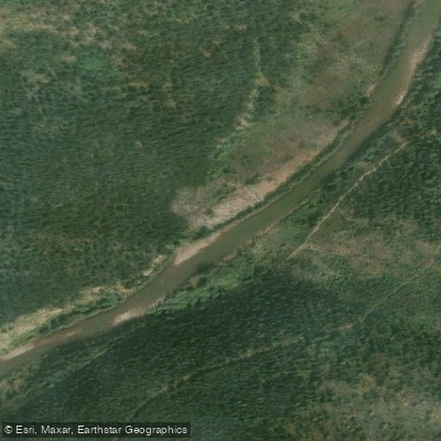
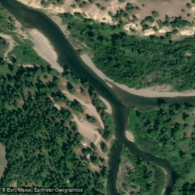
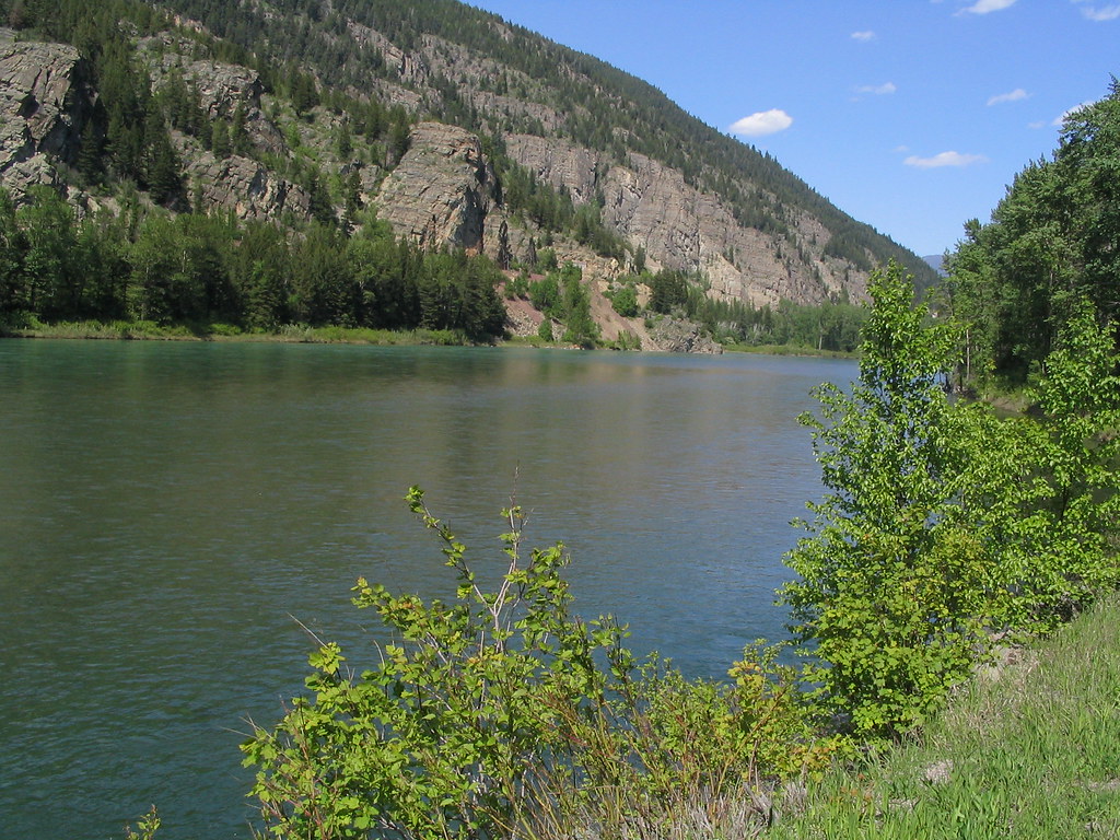
The North Fork Blackfoot River is a pristine wilderness waterway in western Montana, originating high in the Bob Marshall Wilderness near the Continental Divide. It flows southwest for approximately 30 miles before joining the main stem of the Blackfoot River. The North Fork is a major tributary that contributes significantly to the Blackfoot watershed. Paddling opportunities on the North Fork are primarily concentrated in the lower 8-10 miles as the river exits the wilderness. This section offers an easily accessed wilderness river experience with high-quality Class III-IV whitewater, especially at lower summer flows.
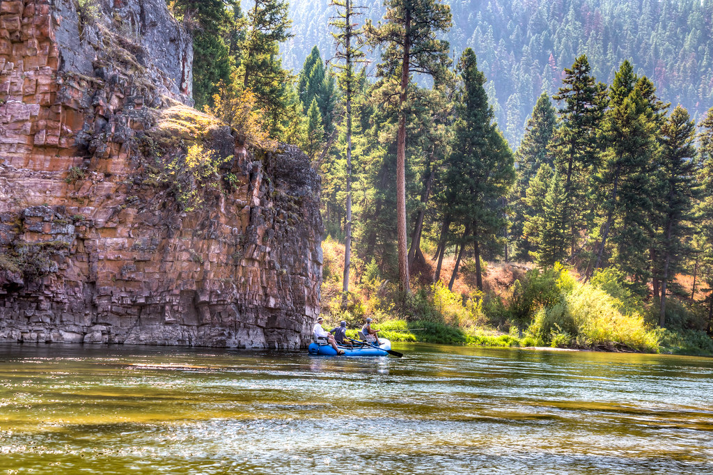
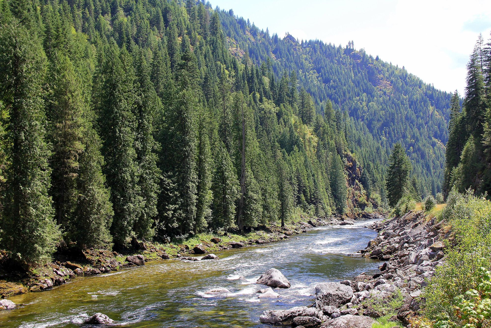
The run features sustained pool-drop boulder gardens with immaculately clear water and stunning mountain scenery. The difficulty ranges from Class III to IV+, requiring solid whitewater skills and wilderness paddling experience. The river is suitable for kayaks and packrafts, with some rapids potentially requiring portages around hazards like logs or sieves. Paddlers should be prepared for self-rescue and wilderness travel. Spring snowmelt typically provides the highest flows from May through early July. Late summer and early fall offer ideal conditions for technical creek boating at lower flows, typically from late July through September.
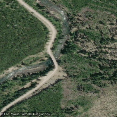
The river corridor supports diverse wildlife including elk, moose, black bears, and native bull trout. Old-growth forests of ponderosa pine, Douglas fir, and western larch line the banks. Key landmarks include the massive waterfall in the North Fork Falls Canyon, a highlight of the run at higher flows. The trail crosses the river at miles 3 and 6.5, offering potential access points.
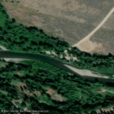
The main put-in is at the North Fork Blackfoot River Trailhead, requiring a challenging 3-mile hike to reach the river. The typical take-out is at a road bridge a few miles south of the trailhead. The nearest town is Ovando, about 20 miles away. The North Fork holds cultural significance as part of the ancestral lands of the Salish and Kootenai tribes. Its pristine nature also makes it an important conservation priority.
Safety considerations include the remote wilderness setting, cold water, and potential wood hazards. Paddlers should be self-sufficient and prepared for changing conditions. Multi-day trips are possible by combining the North Fork with sections of the main Blackfoot River downstream. Primitive camping is available along the river corridor. This river offers a premier wilderness paddling experience for skilled whitewater enthusiasts seeking solitude and pristine mountain scenery in the heart of Montana's backcountry.
Curated routes
Hand-picked by the PaddleWays team, with put-ins, take-outs, paddle times and the hazards along the way.
RouteClass III–IV
Hazards
No paddler has reported a hazard here yet, so these are the dams, falls and big rapids on our map. Hazards change with flows and storms, so check them before you launch.
From the community
Nobody has shared a trip on North Fork Blackfoot River yet. Paddle it, then tell the next paddler how it went.
See exactly where the public can get on and off the river. Launch points and boat ramps are paired with PaddleWays' public land data so you know where you can legally land.
Public shoreline
63%of the river's shoreline is public
Flows, weather and a route-by-route verdict, so you know which stretch of the North Fork Blackfoot River is worth paddling today.
All Flow Stations
Live flows, marked hazards and fresh trip reports from paddlers who were just on the water, all in one place.





Every user gets free access to launch points, boat ramps, and public property parcels.
Loading popular cities...
PaddleWays gives you everything you need to plan smarter, paddle better, and own every trip from first launch to takeout.