Merritt Reservoir
Merritt Reservoir
- Boat Ramps
- 7
- Access Points
- 15
- Campsites
- 10
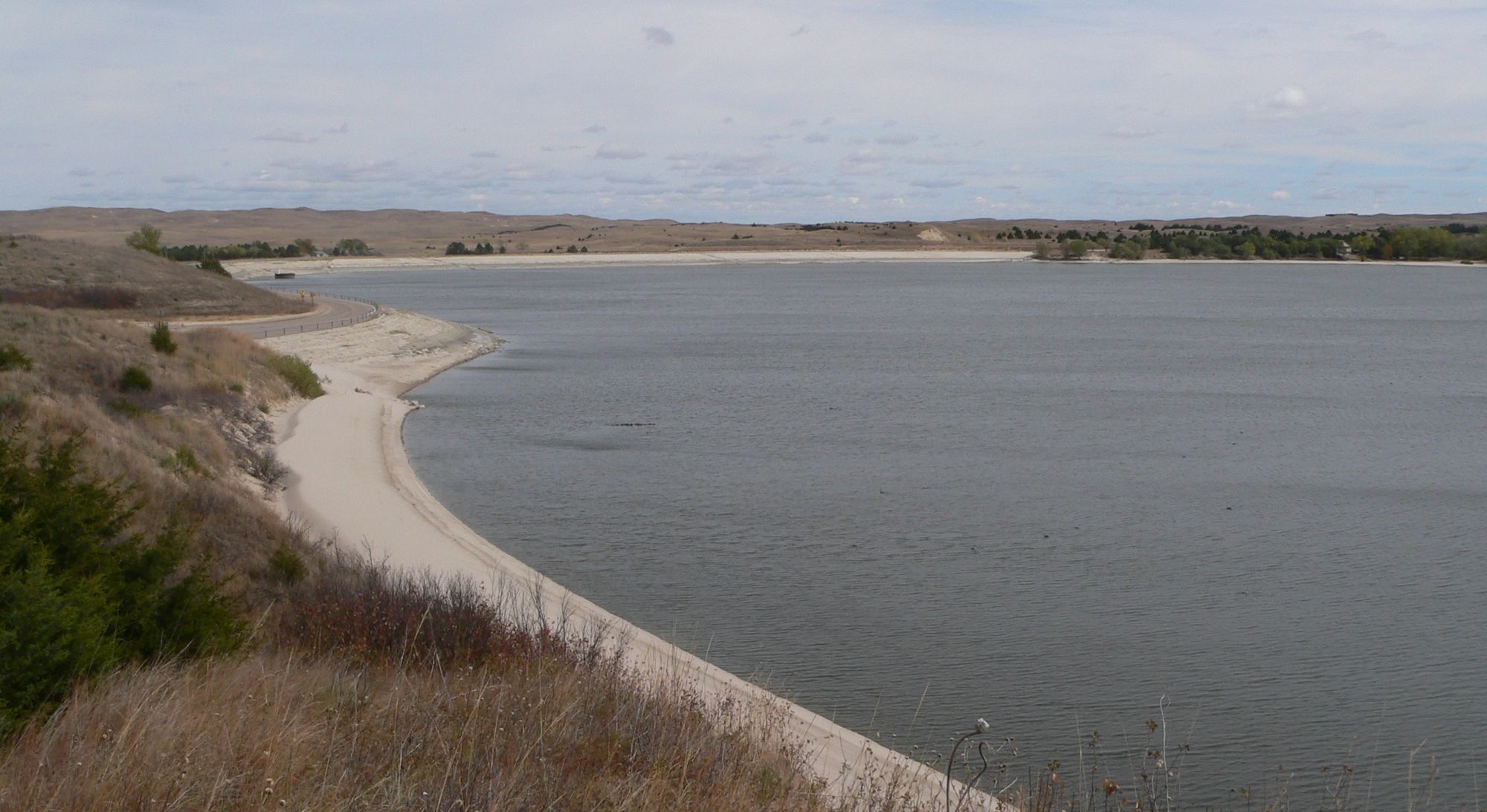
Merritt Reservoir is located 26 miles southwest of Valentine in Nebraska's Sandhills region. The lake offers paddling opportunities in a picturesque valley setting along the Snake River. White sandy beaches line much of the shoreline, providing numerous access points. The reservoir has five boat ramps and seven docks spread across areas like Powder Horn, Main, Beed's Landing, and Snake River.
Paddlers should be aware that water levels can fluctuate significantly, with recent reports indicating rapidly dropping levels exposing more shoreline. The lake is known for its clear water and lack of silty buildup common in other reservoirs. Algae blooms may occur in late summer, giving the water a pea-green tint at times.
Wildlife viewing opportunities abound, with coyotes, deer, and various bird species frequently spotted. The lake hosts annual migrations of sandhill cranes, snow geese, and piping plovers. Paddlers may encounter walleye, crappie, bass, and catfish in the waters.
Merritt Reservoir offers 200 picnic tables and 8 picnic shelters for day use. Camping is available at several campgrounds around the lake, with both electrical and non-electrical sites. Modern restrooms, showers, and a dump station are provided for campers.
The area is known for its dark night skies, hosting an annual star party that may interest paddlers planning overnight trips. Nearby attractions include Smith Falls State Park, the scenic Niobrara River, and McKelvie National Forest.
Paddlers should note that the lake can experience significant wind, potentially creating challenging conditions. Late summer sees cooler temperatures, with daytime highs dropping from the 90s to 70s and nighttime lows near 50°F.
Water access, boat ramps & amenities
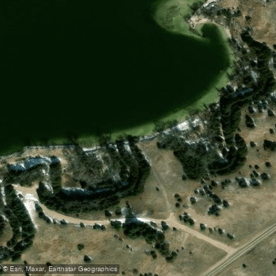
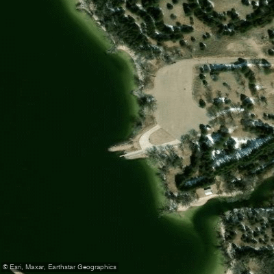
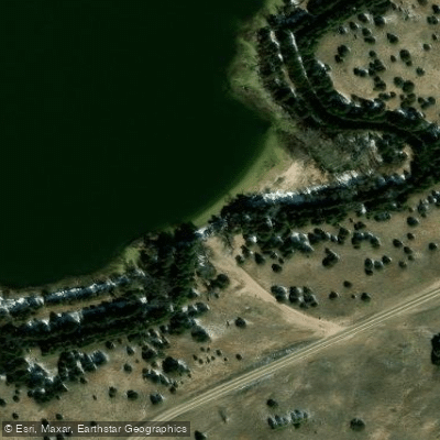
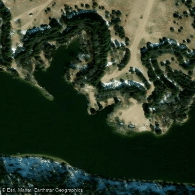
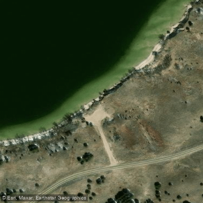
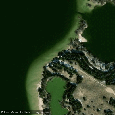
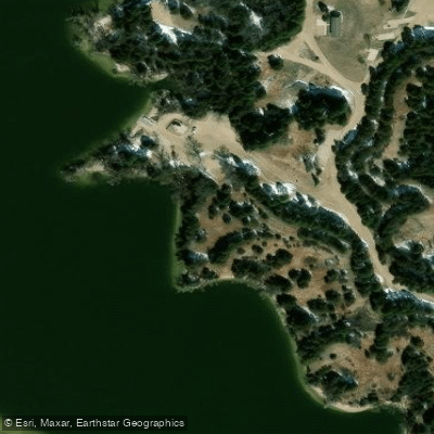
Learn how to get on Merritt Reservoir. Uncover great paddling access points, boat ramps, and all the facilities you need for an unforgettable day on the water. Some locations shown may border or include private property. Always check property boundaries and applicable regulations before visiting. PaddleWays's Public & Private Land layer can help you plan your access with confidence.
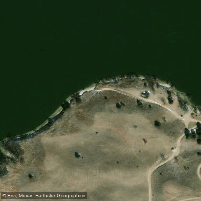
Paddle smarter with real-time insights
Whether you're en route and conditions shift or you're looking for the best spot based on current flows, we enable you to make informed decisions on the fly.








Find Places to Paddle

Over 400,000 Places to Paddle
Every user gets free access to launch points, boat ramps, and public property parcels.


Water and weather conditions (10 day forecast)
See the best times to paddle Merritt Reservoir and check the forecast before you go.
Merritt Reservoir and Dam
Paddling near Merritt Reservoir
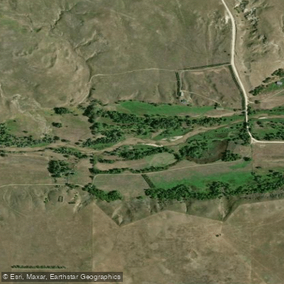
Niobrara River
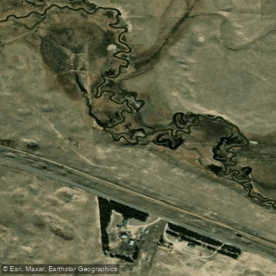
Minnechaduza Creek
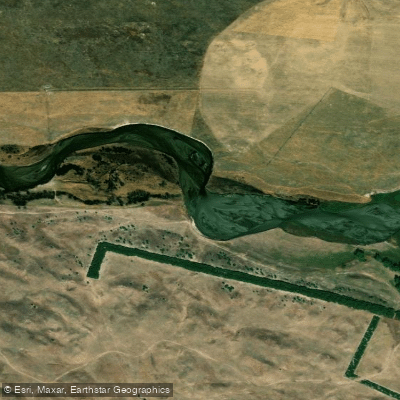
North Loup River
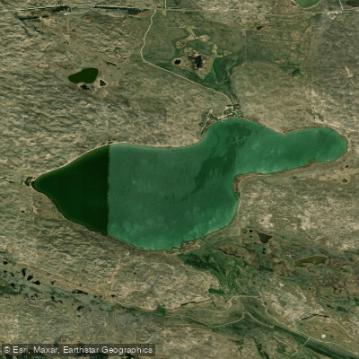
Big Alkali Lake
Boardman Creek
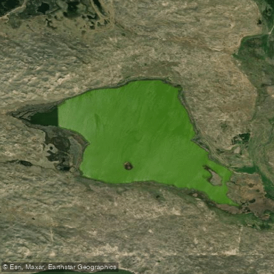
Trout Lake
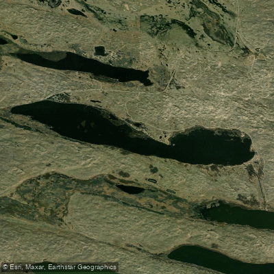
Hackberry Lake
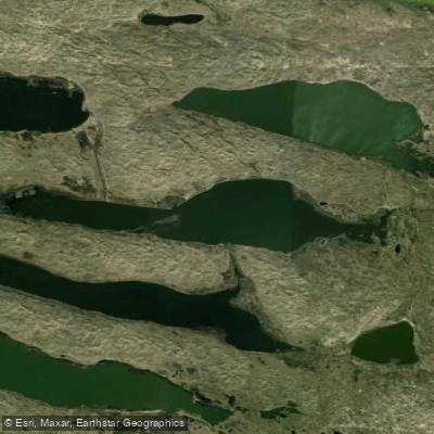
Dewey Lake
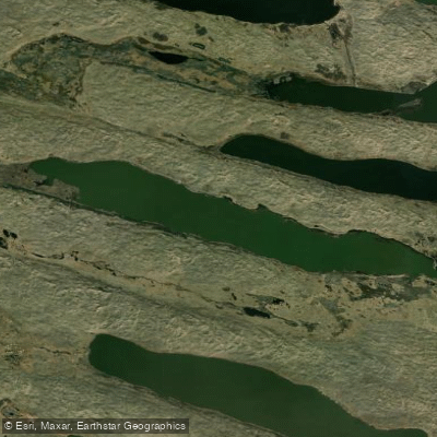
Pelican Lake
Explore Nebraska waters
Top paddling waters
Popular Cities
Loading popular cities...
Explore near Merritt Reservoir
Access points
Nearby waters
More in Nebraska

Smarter Paddling Starts in the App.
Paddleways gives you everything you need to plan smarter, paddle better, and own every trip from first launch to takeout.