Lewis and Clark Lake
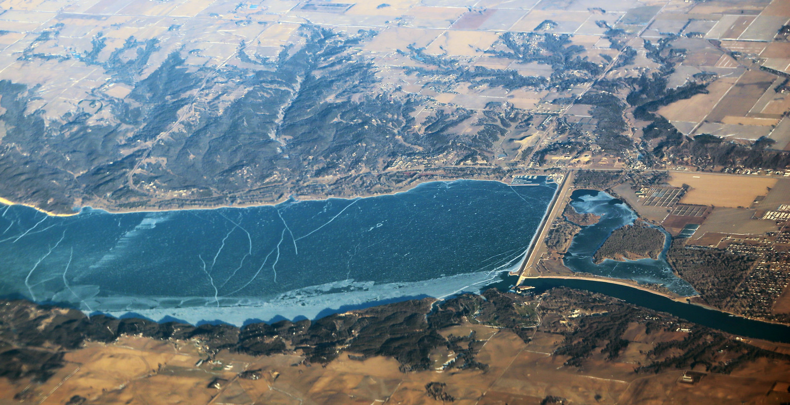
Lewis and Clark Lake
- Boat Ramps
- 22
- Access Points
- 30
- Campsites
- 10
Lewis and Clark Lake is a 31,400-acre reservoir straddling the Nebraska-South Dakota border, offering paddlers 25 miles of water and over 90 miles of shoreline to explore. The lake, impounded by Gavins Point Dam, reaches a maximum depth of 45 feet. Paddlers can access the lake via several public launch sites, though these are limited in number and unevenly spaced.
The lake presents unique paddling opportunities, particularly in its western portion where the Missouri and Niobrara Rivers form an extensive delta. This area features braided channels and vegetated sandbars, providing a distinct experience from the main lake body. Paddlers in the delta should bring GPS for navigation through the complex channel system.
Wildlife viewing is a highlight, with opportunities to spot bald eagles, least terns, and piping plovers. The surrounding bluffs, part of the Niobrara Formation, offer scenic vistas. The lake is also historically significant, located along the Lewis and Clark National Historic Trail.
Safety considerations are paramount. Wind is a constant factor, especially in wider sections, potentially making steering difficult. Storms can develop rapidly on the Great Plains, bringing strong winds, lightning, and heavy rain. Paddlers should monitor weather conditions closely and seek shelter when necessary. The lake's current typically flows at 3-5 mph, influenced by releases from upstream dams.
Zebra mussels are present in the lake, necessitating proper cleaning of equipment before and after use. Wearing water shoes is recommended to avoid cuts from these invasive mollusks. Sedimentation is a significant issue, with approximately 5.1 million tons deposited annually, gradually reducing the lake's surface area.
Primitive camping is generally allowed on islands and sandbars, but paddlers must be aware of private property boundaries and adhere to restrictions protecting wildlife nesting areas. The National Park Service strongly recommends wearing a life jacket at all times and advises against solo paddling.
Water access, boat ramps & amenities
Learn how to get on Lewis and Clark Lake. Uncover great paddling access points, boat ramps, and all the facilities you need for an unforgettable day on the water. Some locations shown may border or include private property. Always check property boundaries and applicable regulations before visiting. PaddleWays's Public & Private Land layer can help you plan your access with confidence.
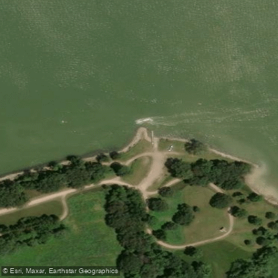
Bloomfield Recreation Area Access
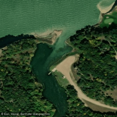
South Shore Recreation Area Access
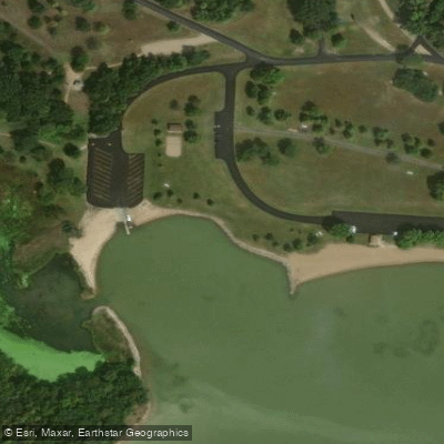
Gavins Point Recreation Area Access
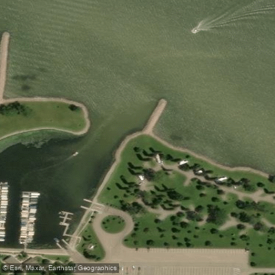
Weigand Recreation Area Access
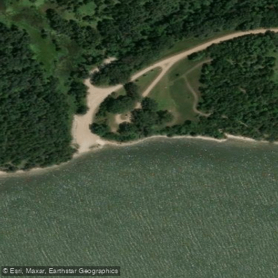
Tabor State Recreation Area Access
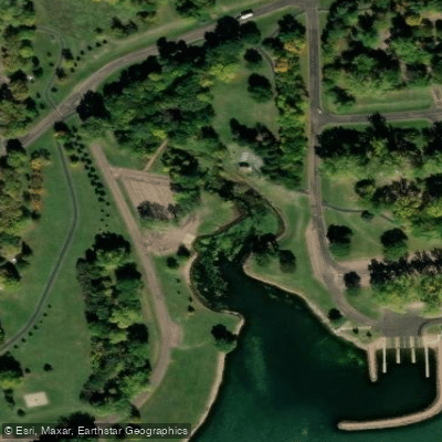
Lewis & Clark Recreation Area Access
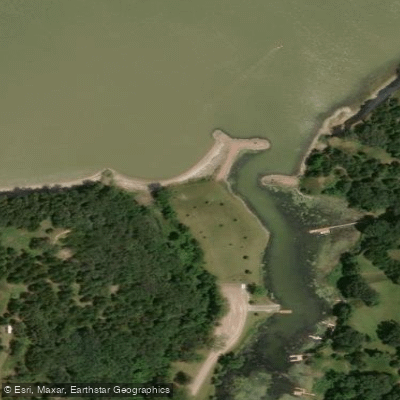
Miller Creek Recreation Area Access
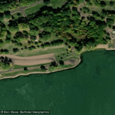
Midway Access
Paddle smarter with real-time insights
Whether you're en route and conditions shift or you're looking for the best spot based on current flows, we enable you to make informed decisions on the fly.








Find Places to Paddle

Over 400,000 Places to Paddle
Every user gets free access to launch points, boat ramps, and public property parcels.


Water and weather conditions (10 day forecast)
See the best times to paddle Lewis and Clark Lake and check the forecast before you go.
LEWIS AND CLARK LAKE AT SPRINGFIELD,SD
Paddling near Lewis and Clark Lake

Missouri River
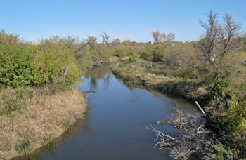
James River
Beaver Creek
Vermillion River
Clay Creek
Niobrara River
Big Sioux River
Logan Creek Dredge
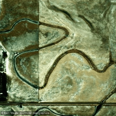
Choteau Creek
Explore Nebraska waters
Top paddling waters
Popular Cities
Loading popular cities...
Explore near Lewis and Clark Lake
Access points
- Miller Creek Recreation Area Boat Ramp
- South Shore Recreation Area Boat Ramp
- Midway Boat Ramp
- Weigand Recreation Area Boat Ramp
- Gavins Point Boat Ramp
- Weigand Recreation Area Boat Ramp
- Lewis & Clark Marina Boat Ramp
- Navratil Landing Boat Ramp
- Navratil Landing Public Water Access
- Springfield Bay Boat Ramp
- Bloomfield Recreation Area Boat Ramp
- Tabor State Recreation Area Boat Ramp
- All 61 spots
Nearby waters
More in Nebraska

Smarter Paddling Starts in the App.
Paddleways gives you everything you need to plan smarter, paddle better, and own every trip from first launch to takeout.