Curated by PaddleWays
RouteFlatwater
- Distance
- 6.7 mi
- Paddle time
- ~2 hrs
- Best for
- Experienced paddlers
- Put-in & take-out
- Canoe Launch
Narrow river with obstacles and snags
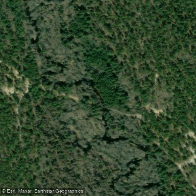
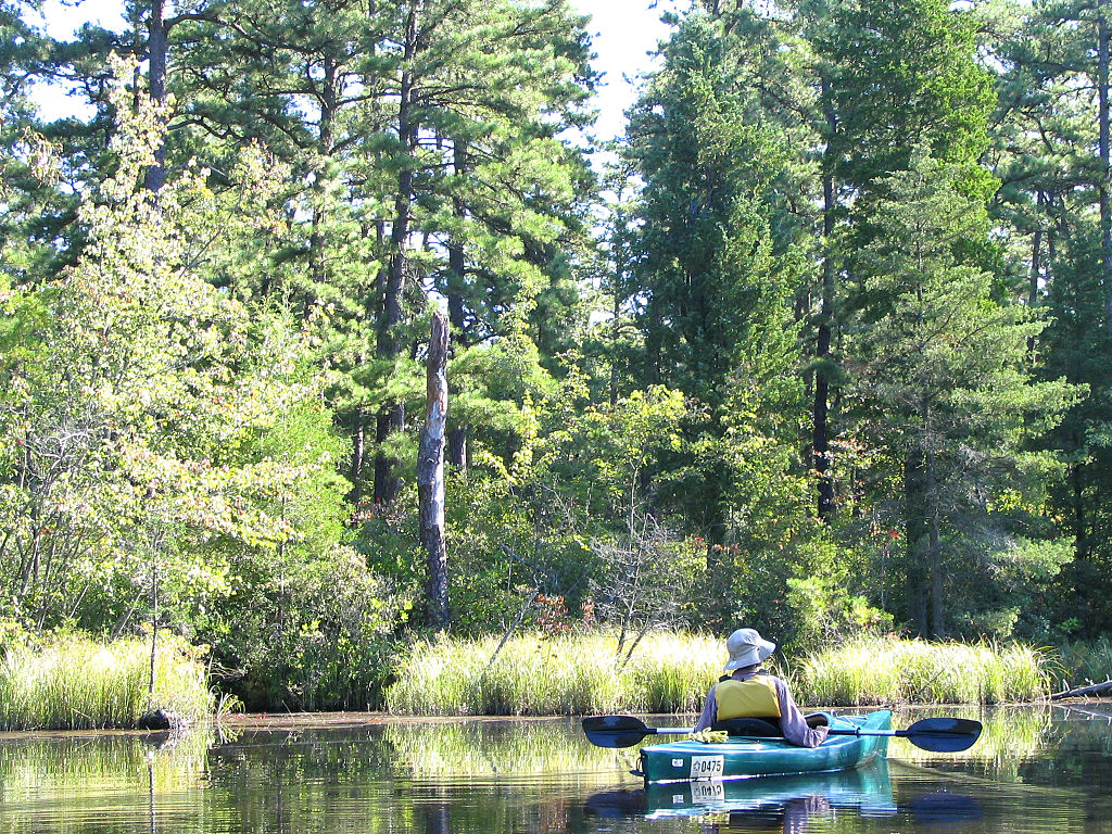
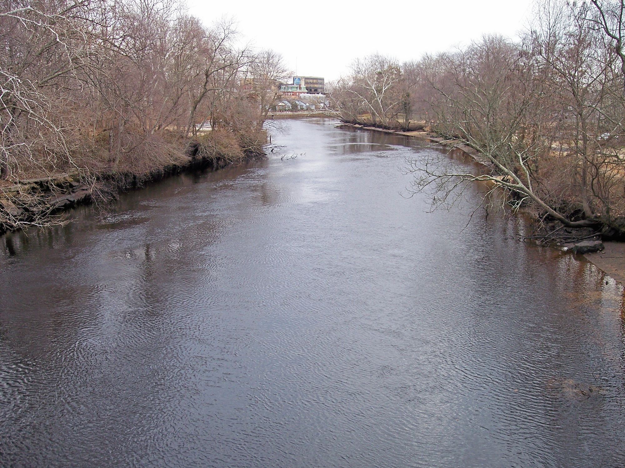
The Batsto River is a scenic waterway flowing through the heart of New Jersey's Pine Barrens in Wharton State Forest. This quintessential Pine Barrens river offers paddlers a unique opportunity to explore one of the most remote and pristine areas in the state.
The most popular paddling route on the Batsto River is the 6.5-mile stretch from Quaker Bridge to Batsto Lake. This section typically takes about 4 hours to complete and is excellent for beginner paddlers due to its easy access and relatively calm waters.
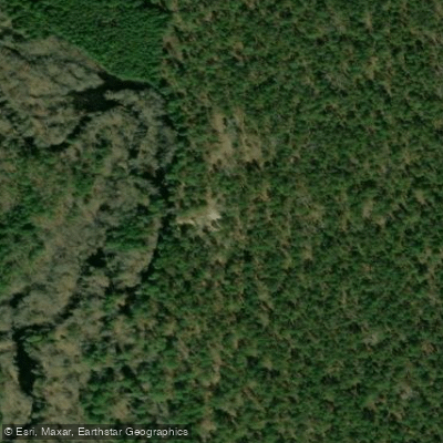
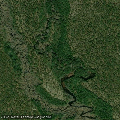
The river winds through dense stands of Atlantic white cedar, creating a peaceful and shaded environment. For more experienced paddlers seeking a challenge, the upper section from Hampton Furnace to Quaker Bridge offers a more technical 6.5-mile run. This stretch features a narrow, winding channel that requires skilled maneuvering, especially during high water conditions. Paddlers should be prepared to navigate tight turns and overhanging vegetation.
The Batsto River is primarily a flatwater paddle, but water levels can significantly impact the difficulty. Spring typically offers the best water levels, while summer paddling may require more portaging in low-water areas. Fall foliage creates a stunning backdrop for autumn trips.
Wildlife enthusiasts will appreciate the opportunity to spot various bird species, turtles, and even the occasional river otter. The tea-colored water, tinted by natural tannins from cedar and pine needles, is a characteristic feature of Pine Barrens rivers.
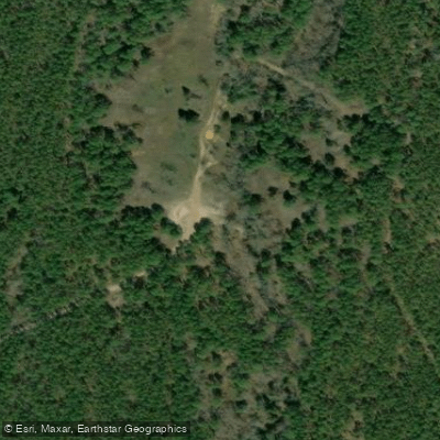
Notable landmarks include the historic Batsto Village at the river's end, offering a glimpse into the area's iron-making past. The underwater bridge near Glossy Spung Road serves as an interesting gauge for water levels. Access points include Hampton Furnace, Quaker Bridge, and Batsto Lake. Nearby towns like Hammonton and Egg Harbor City provide amenities for visitors.
Safety considerations include checking water levels before trips, as low water can make sections impassable. Paddlers should be prepared for tight maneuvering and potential portages around fallen trees.
For those seeking a multi-day adventure, combining the Batsto River with a portage to the Mullica River offers an extended trip option, allowing paddlers to experience two of the Pine Barrens' iconic waterways in one journey.
The Batsto River, with its winding course and pristine surroundings, offers a paddling experience that captures the essence of New Jersey's unique Pine Barrens ecosystem, making it a must-visit destination for canoeists and kayakers alike.
Curated routes
Hand-picked by the PaddleWays team, with put-ins, take-outs, paddle times and the hazards along the way.
RouteFlatwater
RouteFlatwater
RouteClass I–II
Hazards
No paddler has reported a hazard here yet, so these are the dams, falls and big rapids on our map. Hazards change with flows and storms, so check them before you launch.
From the community
Nobody has shared a trip on Batsto River yet. Paddle it, then tell the next paddler how it went.
See exactly where the public can get on and off the river. Launch points and boat ramps are paired with PaddleWays' public land data so you know where you can legally land.
Public shoreline
86%of the river's shoreline is public
Flows, weather and a route-by-route verdict, so you know which stretch of the Batsto River is worth paddling today.
No forecast data available.
Live flows, marked hazards and fresh trip reports from paddlers who were just on the water, all in one place.





Every user gets free access to launch points, boat ramps, and public property parcels.

Loading popular cities...
PaddleWays gives you everything you need to plan smarter, paddle better, and own every trip from first launch to takeout.