Lake Hopatcong
Lake Hopatcong
- Boat Ramps
- 14
- Access Points
- 16
- Campsites
- 0
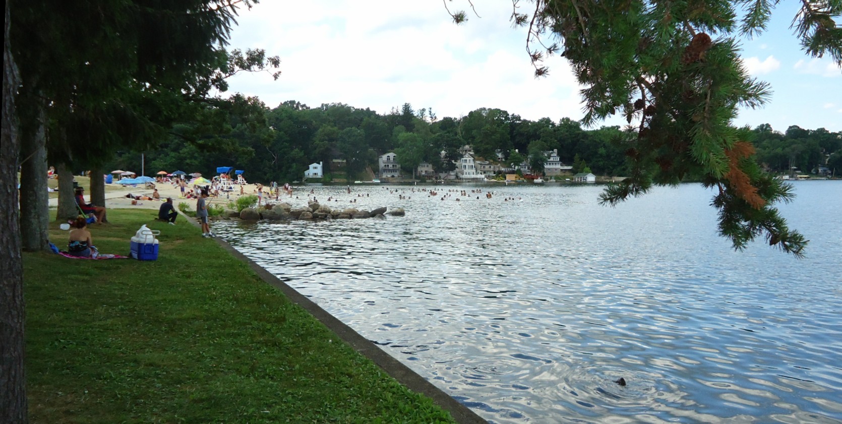
Lake Hopatcong, New Jersey's largest lake at 2,685 acres, offers diverse paddling experiences across its 9-mile length and 27 miles of shoreline. The lake features numerous coves, islands, and canals to explore, with Liffy Island standing out as one of the last undeveloped areas, providing a glimpse of the lake's natural state.
Paddlers can launch from several locations, including Lee's County Park Marina (fee required) and Hopatcong State Park. The lake can become crowded and potentially dangerous for kayakers during summer weekends due to heavy boat traffic. For a safer, more peaceful experience, early mornings, evenings, and the spring and fall seasons are recommended.
Wind conditions can change rapidly, sometimes creating 2-3 foot waves. Paddlers should be prepared for varying conditions and always wear a PFD. The lake is subject to a 5-year drawdown cycle, which alters water levels and exposes more shoreline.
Wildlife enthusiasts may spot ospreys, bald eagles, blue herons, and various waterfowl. The lake is also known for good fishing, with species including largemouth bass, catfish, and yellow perch.
Notable paddling routes include exploring the canals in Jefferson Township, circumnavigating Halsey Island, and visiting the historic homes along the shoreline. The lake's water quality has improved in recent years, though it has historically faced pollution challenges.
Facilities for paddlers are available at Hopatcong State Park, including restrooms, showers, and a concession stand. Kayak rentals can be found at various locations around the lake.
Lake Hopatcong has historical significance as part of the former Morris Canal system, which transported coal and iron across New Jersey in the 19th century. Today, it serves as a popular recreational destination while also being the headwaters of the Musconetcong River.
Water access, boat ramps & amenities
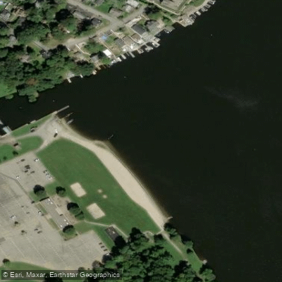
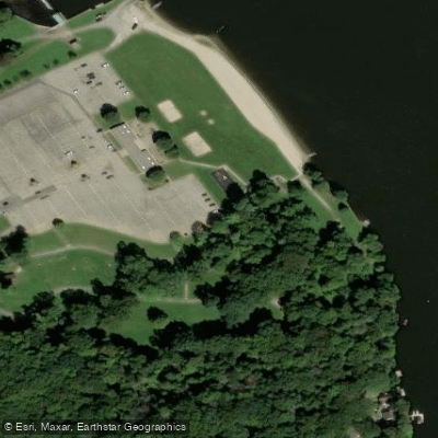
Learn how to get on Lake Hopatcong. Uncover great paddling access points, boat ramps, and all the facilities you need for an unforgettable day on the water. Some locations shown may border or include private property. Always check property boundaries and applicable regulations before visiting. PaddleWays's Public & Private Land layer can help you plan your access with confidence.
Paddle smarter with real-time insights
Whether you're en route and conditions shift or you're looking for the best spot based on current flows, we enable you to make informed decisions on the fly.








Find Places to Paddle

Over 400,000 Places to Paddle
Every user gets free access to launch points, boat ramps, and public property parcels.


Water and weather conditions (10 day forecast)
See the best times to paddle Lake Hopatcong and check the forecast before you go.
Musconetcong River at outlet of Lake Hopatcong NJ
All Flow Stations
Paddling near Lake Hopatcong
Spruce Run Reservoir
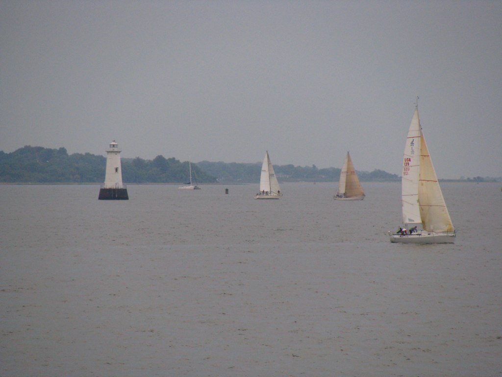
Raritan Bay
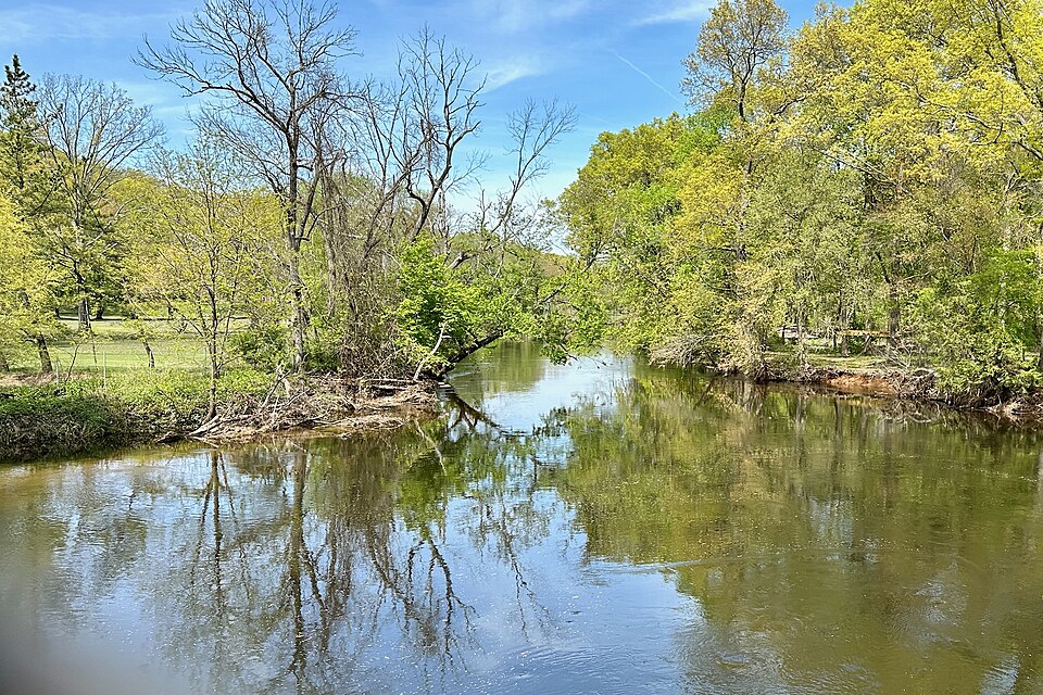
Rockaway River
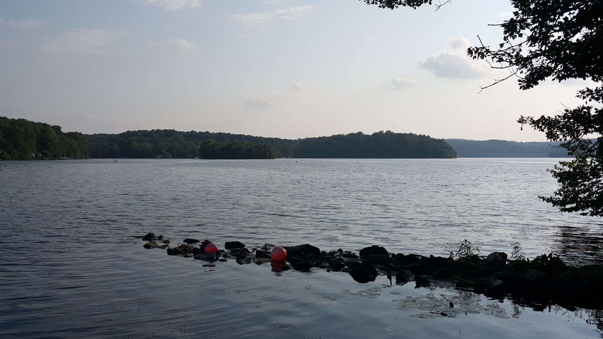
Swartswood Lake
Hackensack River

Hudson River

Raritan River
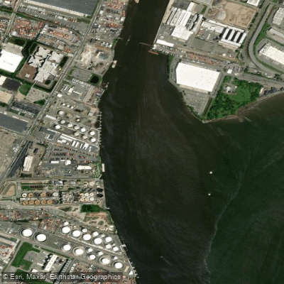
Passaic River
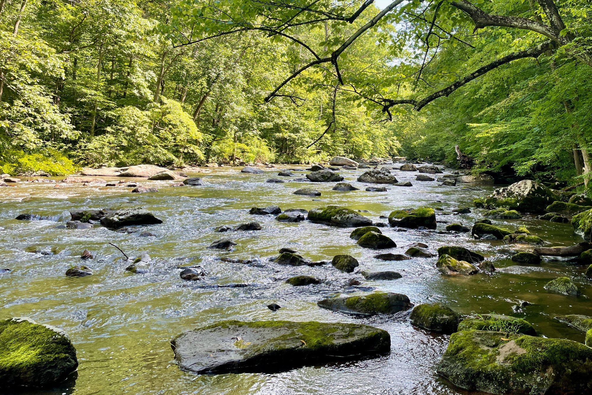
South Branch Raritan River
Explore New Jersey waters
Top paddling waters
Popular Cities
Loading popular cities...
Explore near Lake Hopatcong
Access points
Nearby waters
More in New Jersey

Smarter Paddling Starts in the App.
Paddleways gives you everything you need to plan smarter, paddle better, and own every trip from first launch to takeout.