Curated by PaddleWays
RouteClass I–II
- Distance
- 2.1 mi
- Paddle time
- ~0.5 hrs
- Best for
- Beginners
- Put-in → take-out
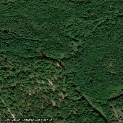
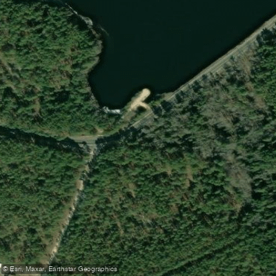
- Godfrey Bridge Access → West Branch Boat Ramp Access
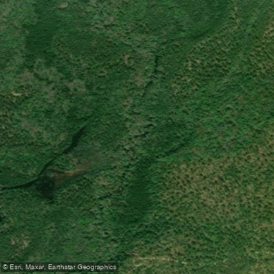
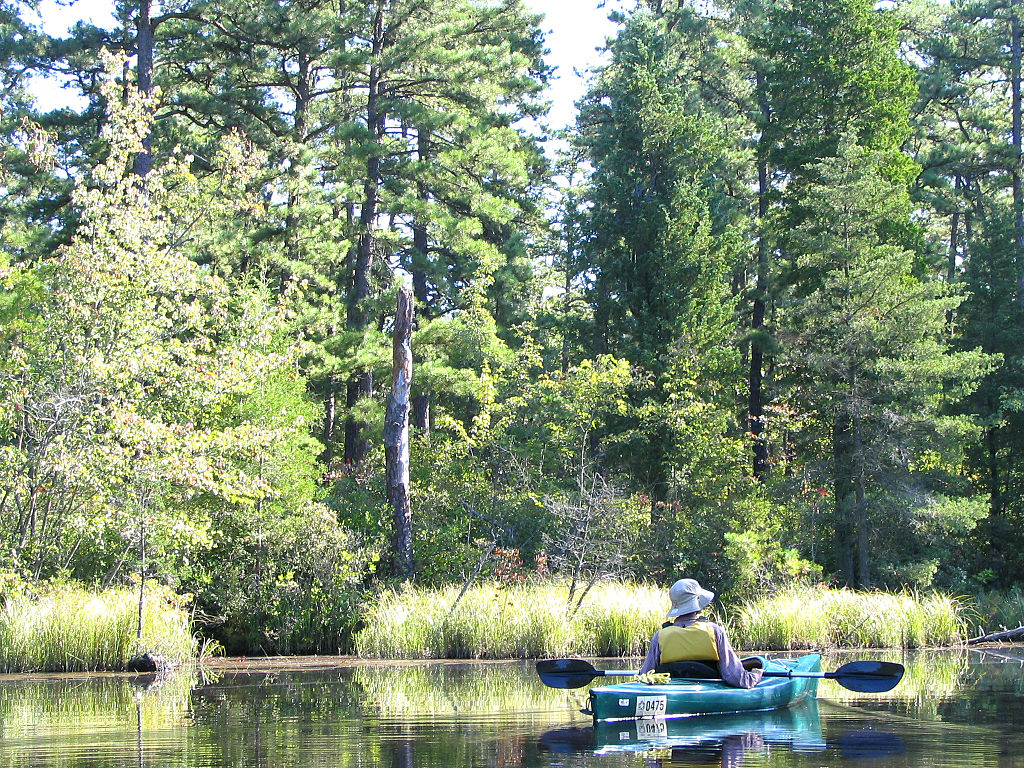
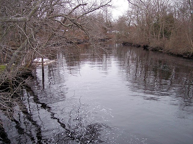
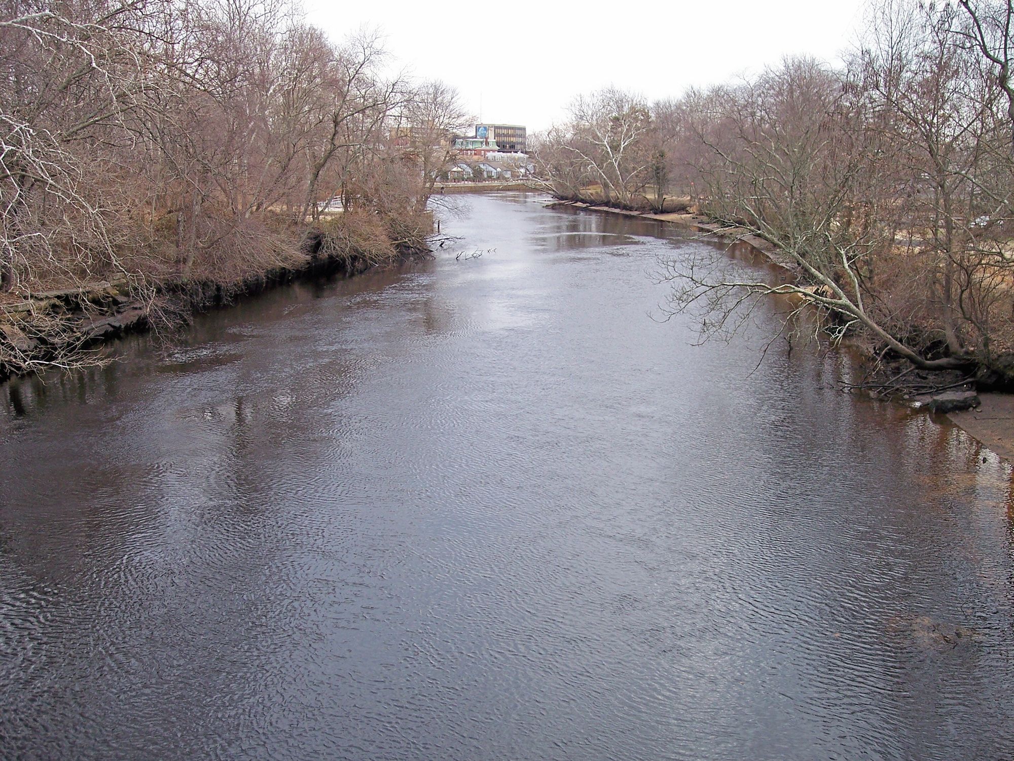
The West Branch Wading River is a scenic waterway flowing through the heart of New Jersey's Pine Barrens. Originating near Chatsworth Lake, it meanders southeast for approximately 15 miles before joining the East Branch to form the main stem of the Wading River. The river system ultimately drains into the Mullica River and Great Bay. This blackwater river offers paddlers a quintessential Pine Barrens experience, with tea-colored water winding through dense stands of Atlantic white cedar and pitch pine.
The West Branch is primarily a flatwater paddle suitable for canoes and kayaks, with occasional mild riffles and submerged obstacles typical of Pine Barrens streams. Popular paddling routes include the 6-mile stretch from Hawkins Bridge to Evans Bridge, with Godfrey Bridge serving as an intermediate access point. For a longer journey, paddlers can begin at Chatsworth Lake and continue past the Route 563 bridge all the way to Chips Folly on the main Wading River, covering about 15 miles total.
The river is generally calm and suitable for beginners, though some maneuvering skills are required to navigate around fallen trees and shallow sandy areas. Water levels fluctuate seasonally, with spring typically offering the most reliable flow. Summer paddling is possible but may require occasional portaging in low water.
Wildlife sightings are common, including river otters, bald eagles, and various wading birds. The surrounding pine forests showcase the unique ecology of the Pine Barrens, with carnivorous plants like pitcher plants and sundews found in boggy areas along the banks.
Key access points include Chatsworth Lake, Hawkins Bridge, Godfrey Bridge, and Evans Bridge. The nearby town of Chatsworth offers amenities and outfitters like Mick's Pine Barrens Canoe and Kayak Rental. Primitive camping is available at designated sites along the river, allowing for multi-day trips.
Paddlers should be aware of the river's tannin-stained waters, which can obscure underwater hazards. Checking water levels and obtaining current condition reports is advised before embarking. As part of Wharton State Forest, the river is subject to state park regulations, including required permits for camping.
The West Branch Wading River provides an intimate look at one of the most unique ecosystems in the eastern United States, offering solitude and natural beauty just a short drive from major metropolitan areas.
Curated routes
Hand-picked by the PaddleWays team, with put-ins, take-outs, paddle times and the hazards along the way.
RouteClass I–II
RouteFlatwater
RouteFlatwater
RouteClass I–II
RouteClass I–II
RouteFlatwater
RouteFlatwater
Hazards
No hazards are marked on West Branch Wading River yet. That is not the same as none being there: if you find one, report it for the next paddler.
From the community
Nobody has shared a trip on West Branch Wading River yet. Paddle it, then tell the next paddler how it went.
See exactly where the public can get on and off the river. Launch points and boat ramps are paired with PaddleWays' public land data so you know where you can legally land.
Public shoreline
87%of the river's shoreline is public
Flows, weather and a route-by-route verdict, so you know which stretch of the West Branch Wading River is worth paddling today.
Live flows, marked hazards and fresh trip reports from paddlers who were just on the water, all in one place.





Every user gets free access to launch points, boat ramps, and public property parcels.

Loading popular cities...
PaddleWays gives you everything you need to plan smarter, paddle better, and own every trip from first launch to takeout.