Curated by PaddleWays
RouteClass II–III
- Distance
- 5.5 mi
- Paddle time
- ~1.5 hrs
- Best for
- Packraft
- Put-in → take-out
- Woody's Corral Access → Grapevine Campground Access
Potential strainers and swimming
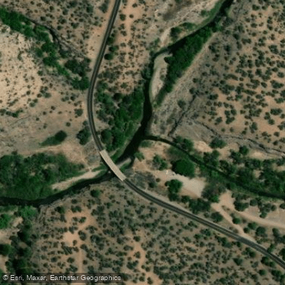
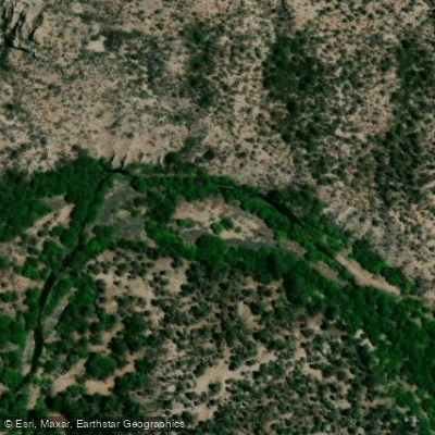
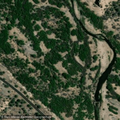
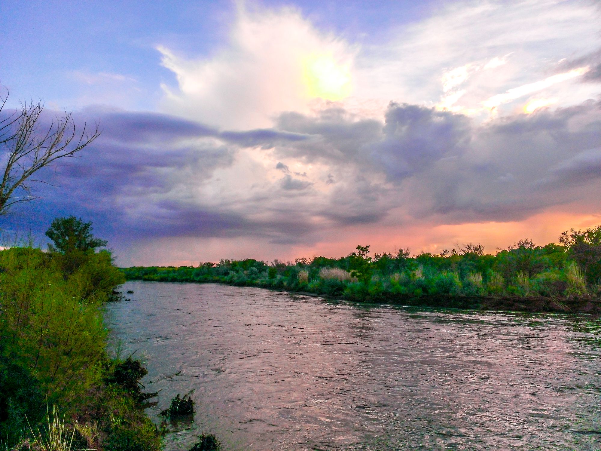
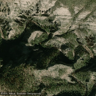
The West Fork Gila River originates high in the Mogollon Mountains of southwestern New Mexico, flowing eastward through rugged canyons before joining the East Fork to form the main stem of the Gila River. This pristine waterway carves a path through the heart of the Gila Wilderness, offering paddlers a remote and challenging backcountry experience. The West Fork's journey begins at elevations over 10,000 feet, descending through pine forests and rocky gorges. Its clear waters are fed by numerous springs and tributaries, with Little Creek being a notable confluence. The river's course spans approximately 33 miles before merging with the East Fork.
Paddling opportunities on the West Fork are primarily suited for packrafting and skilled whitewater kayakers. The most popular run is the 28-mile Wilderness section from Woody's Corral to the Grapevine Campground confluence. This stretch features Class II-III rapids interspersed with calmer pools, demanding solid river reading skills and self-rescue abilities.
The West Fork is typically runnable in spring during snowmelt, with optimal flows around 500 cfs. Late February through April often provides the best conditions, though timing can vary based on snowpack and rainfall.
The river corridor hosts a diverse ecosystem, with towering sycamores and cottonwoods lining the banks. Wildlife sightings may include mule deer, black bears, and a variety of bird species. The surrounding wilderness is home to endangered species like the Gila trout.
Notable landmarks include the historic Gila Cliff Dwellings National Monument near the river's headwaters. Jordan Hot Springs, accessible via a side hike, offers a natural soaking opportunity mid-journey. Primary access points are Woody's Corral Trailhead for put-in and Grapevine Campground for take-out. The nearest town is Silver City, about 2 hours away.
The West Fork flows through lands sacred to the Apache people and holds significant archaeological value. Paddlers should practice Leave No Trace ethics and be aware of cultural sensitivities.
Safety considerations include the river's remoteness, lack of cell service, and potential for strainers and wood hazards. Proper wilderness and swiftwater rescue skills are essential. Permits are required for overnight trips within the Gila Wilderness.
Multi-day expeditions often combine paddling and hiking, creating loop trips that may incorporate sections of the Middle Fork and East Fork Gila. These adventures typically range from 3-5 days, allowing ample time to explore the stunning canyon scenery and rich biodiversity of this wild river system.
Curated routes
Hand-picked by the PaddleWays team, with put-ins, take-outs, paddle times and the hazards along the way.
RouteClass II–III
Hazards
No hazards are marked on West Fork Gila River yet. That is not the same as none being there: if you find one, report it for the next paddler.
From the community
Nobody has shared a trip on West Fork Gila River yet. Paddle it, then tell the next paddler how it went.
See exactly where the public can get on and off the river. Launch points and boat ramps are paired with PaddleWays' public land data so you know where you can legally land.
Public shoreline
91%of the river's shoreline is public
Flows, weather and a route-by-route verdict, so you know which stretch of the West Fork Gila River is worth paddling today.
All Flow Stations
Live flows, marked hazards and fresh trip reports from paddlers who were just on the water, all in one place.





Every user gets free access to launch points, boat ramps, and public property parcels.
Loading popular cities...
PaddleWays gives you everything you need to plan smarter, paddle better, and own every trip from first launch to takeout.