Elm River
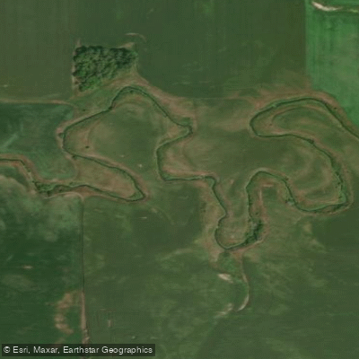
Elm River
- Boat Ramps
- 0
- Access Points
- 0
- Campsites
- 3
Elm River is a tributary of the Red River of the North flowing through the prairie landscape of southeastern North Dakota. The river originates in Steele County and flows generally eastward through Traill County before entering Cass County, where it eventually joins the Red River of the North. This agricultural watershed drains portions of the glaciated plains characteristic of the Red River Valley region. The river's course winds through predominantly flat to gently rolling terrain shaped by glacial deposits from the last ice age.
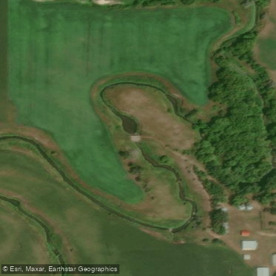
Elm River exhibits the meandering pattern typical of prairie streams, with its channel cutting through rich agricultural soils that dominate the surrounding landscape. During spring runoff, the river swells considerably with snowmelt and precipitation, while summer and fall typically see reduced flows that can make portions quite shallow.
The riparian corridor along Elm River provides important habitat in an otherwise heavily cultivated region. Cottonwoods, willows, and various shrub species line the banks, offering shelter and nesting sites for waterfowl and songbirds. White-tailed deer frequent the wooded areas along the stream, and the river supports populations of northern pike, walleye, and various panfish species in its deeper pools. During migration seasons, the river corridor serves as a pathway for numerous bird species moving through the Central Flyway.
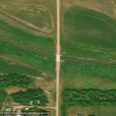
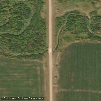
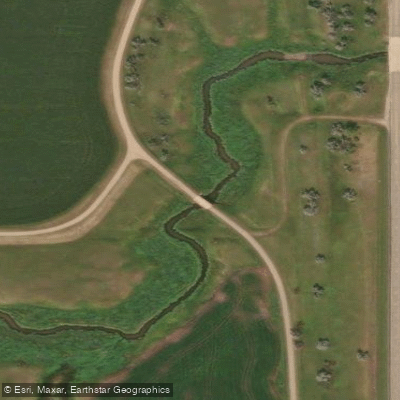
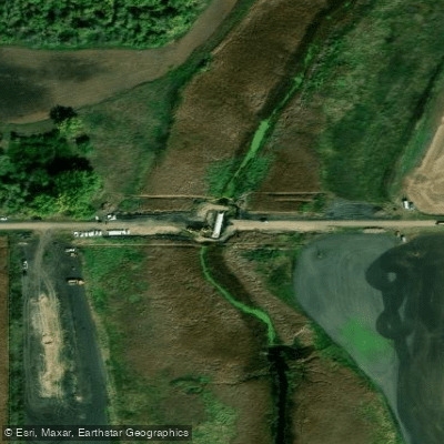
Access to Elm River is primarily through rural roads and bridges that cross the stream in Steele, Traill, and Cass counties. The small communities near the river include Finley in Steele County and various townships throughout its course. Much of the land adjacent to the river is privately owned farmland, which limits public access points.
Paddling opportunities on Elm River are limited and highly dependent on water levels. Spring conditions may offer brief windows for small craft navigation, though obstacles such as low bridges, logjams, and fence crossings present significant challenges. The river's small size and agricultural setting mean that recreational use is minimal compared to larger regional waterways.
The historical significance of Elm River relates primarily to its role in the settlement and agricultural development of the region, providing water resources for early homesteaders and continuing to influence drainage patterns in this intensively farmed area of North Dakota.
Water access, boat ramps & amenities
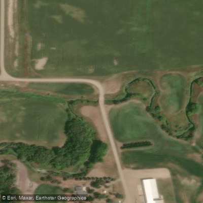
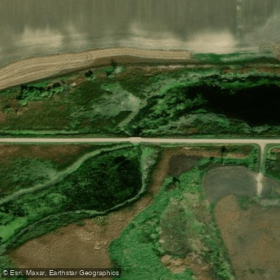
Learn how to get on Elm River. Uncover great paddling access points, boat ramps, and all the facilities you need for an unforgettable day on the water. Some locations shown may border or include private property. Always check property boundaries and applicable regulations before visiting. PaddleWays's Public & Private Land layer can help you plan your access with confidence.
Paddle smarter with real-time insights
Whether you're en route and conditions shift or you're looking for the best spot based on current flows, we enable you to make informed decisions on the fly.








Find Places to Paddle

Over 400,000 Places to Paddle
Every user gets free access to launch points, boat ramps, and public property parcels.


Water and weather conditions (10 day forecast)
See the best times to paddle Elm River and check the forecast before you go.
No forecast data available.
Paddling near Elm River
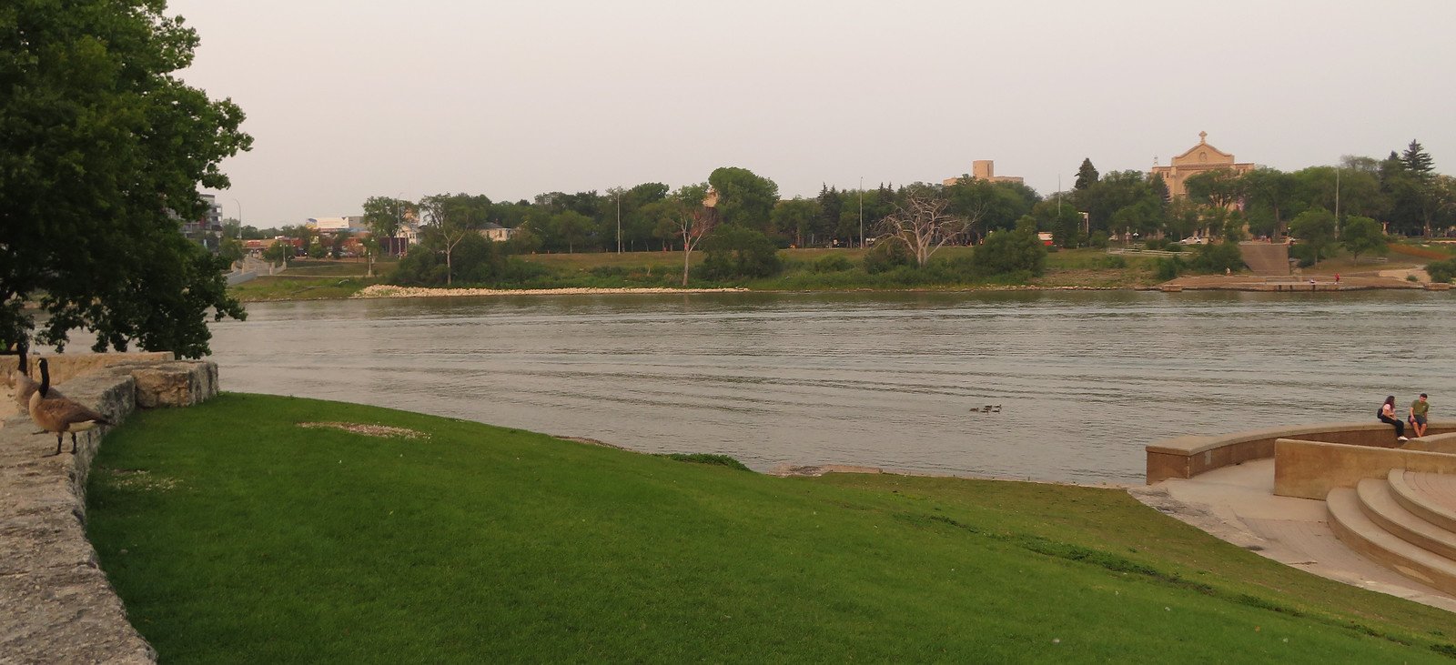
Red River of the North
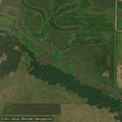
Sheyenne River
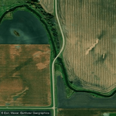
Wild Rice River
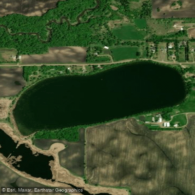
Silver Lake
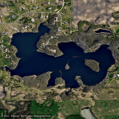
Lee Lake
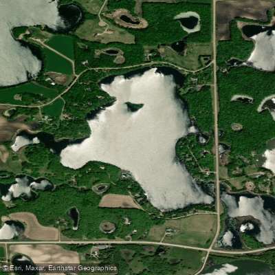
Lake Fifteen
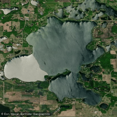
Big Cormorant Lake
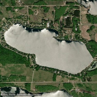
Turtle Lake
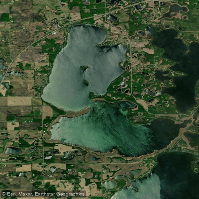
Lake Lizzie
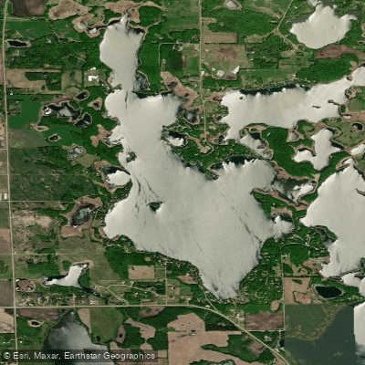
Upper Cormorant Lake
Explore North Dakota waters
Top paddling waters
Popular Cities
Loading popular cities...
Explore near Elm River
Access points
Nearby waters
More in North Dakota

Smarter Paddling Starts in the App.
Paddleways gives you everything you need to plan smarter, paddle better, and own every trip from first launch to takeout.