Lee Lake
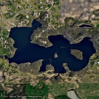
Lee Lake
- Boat Ramps
- 1
- Access Points
- 1
- Campsites
- 0
Lee Lake is a 33-acre shallow waterbody located in Clay County, Minnesota, within the Black Dog Watershed Management Organization (BDWMO) jurisdiction. The lake is classified as a shallow lake with a maximum depth of approximately 15 feet and is designated as a Minnesota DNR public water (MDNR #19-0029P). Access to Lee Lake is available through public shoreline areas managed by member cities within the watershed.
The lake is situated in a moderately developed suburban area of northwestern Dakota County, with portions falling within the municipalities of Burnsville, Lakeville, Eagan, and Apple Valley. The surrounding landscape reflects typical suburban land use patterns with residential development concentrated around much of the shoreline.
Water quality in Lee Lake has shown significant improvement in recent years. The lake was historically listed as impaired for excess nutrients but has since been delisted following successful water quality improvements implemented by the BDWMO and member cities. Average summer water quality metrics from 2012-2021 demonstrate stable conditions suitable for recreational use.
Paddlers should be aware that Lee Lake is a managed fishery, with the City of Lakeville actively stocking fish including efforts to control bullhead populations. The lake provides habitat for various fish species and waterfowl, making it suitable for wildlife observation while paddling.
The lake experiences minimal hazards for paddlers under normal conditions, with no significant current or major obstructions. Water levels are monitored by the MDNR and show typical seasonal variation. The shallow nature of the lake means aquatic vegetation may be present during growing seasons, particularly curly-leaf pondweed, which has been documented in the waterbody.
As part of the BDWMO watershed, Lee Lake benefits from ongoing monitoring and management efforts focused on maintaining water quality and ecological health. The suburban setting provides convenient access while still offering opportunities for quiet-water paddling and nature observation within the Twin Cities metropolitan area.
Water access, boat ramps & amenities
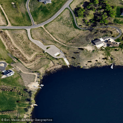
Learn how to get on Lee Lake. Uncover great paddling access points, boat ramps, and all the facilities you need for an unforgettable day on the water. Some locations shown may border or include private property. Always check property boundaries and applicable regulations before visiting. PaddleWays's Public & Private Land layer can help you plan your access with confidence.
Paddle smarter with real-time insights
Whether you're en route and conditions shift or you're looking for the best spot based on current flows, we enable you to make informed decisions on the fly.








Find Places to Paddle

Over 400,000 Places to Paddle
Every user gets free access to launch points, boat ramps, and public property parcels.


Water and weather conditions (10 day forecast)
See the best times to paddle Lee Lake and check the forecast before you go.
No forecast data available.
Paddling near Lee Lake
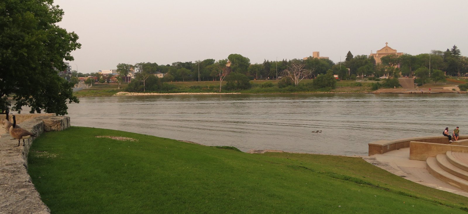
Red River of the North
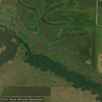
Sheyenne River
Wild Rice River
Silver Lake
Lake Fifteen
Big Cormorant Lake
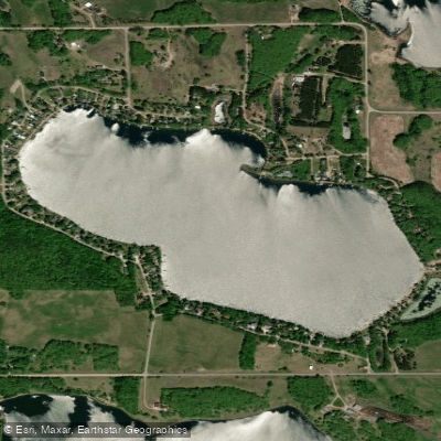
Turtle Lake
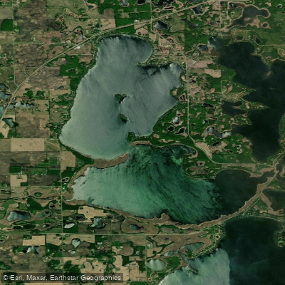
Lake Lizzie
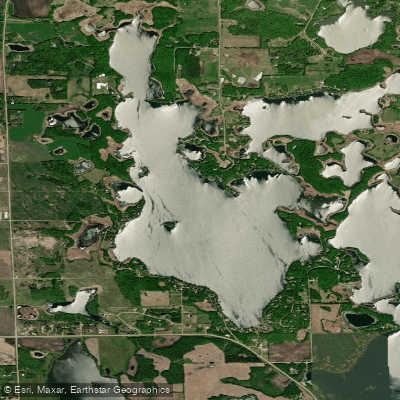
Upper Cormorant Lake
Explore Minnesota waters
Top paddling waters
Popular Cities
Loading popular cities...
Explore near Lee Lake
Access points
Nearby waters
More in Minnesota

Smarter Paddling Starts in the App.
Paddleways gives you everything you need to plan smarter, paddle better, and own every trip from first launch to takeout.