Curated by PaddleWays

Boston Trailhead and Canoe access

13.9 mi flatwater route on the Cuyahoga River in Ohio


Map of the Boston Trailhead and Canoe access route, from Cuyahoga River Access to Cuyahoga River Boat Ramp
  • Route
  • Put-in
  • Take-out
  • Hazards

Level right now

How Boston Trailhead and Canoe access is running today

Route facts

Boston Trailhead and Canoe access at a glance

Distance
13.9 mi
Paddle time
~4.5 hrs
Type
Flatwater

About this route

Paddling this route

A 14-mile flatwater route on the Cuyahoga River from Cuyahoga River Access to Cuyahoga River Boat Ramp in Cuyahoga County and Summit County, Ohio.

Put-in and take-out

Hazards

Hazards on this route

No paddler has reported a hazard here yet, so these are the dams, falls and big rapids on our map. Hazards change with flows and storms, so check them before you launch.

  1. Cuyahoga River Dam

    From our map

    DamBrecksville

    We have no details on this dam.

From the community

Trip reports on this route

Real trips from PaddleWays paddlers who ran this route: how the flows were, and what to watch for.

Loading trip reports

  • John S.

    SUP •

    737 cfs at Independence

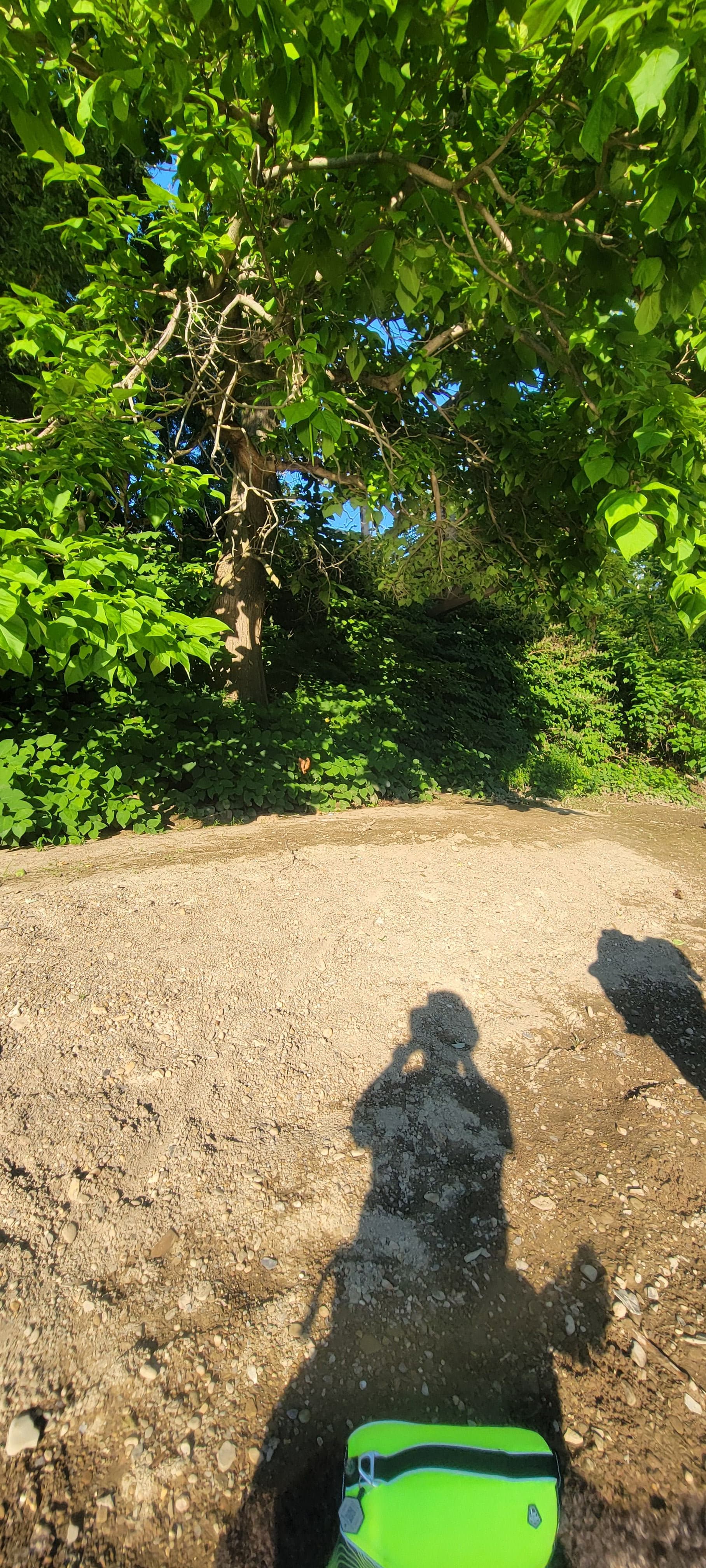
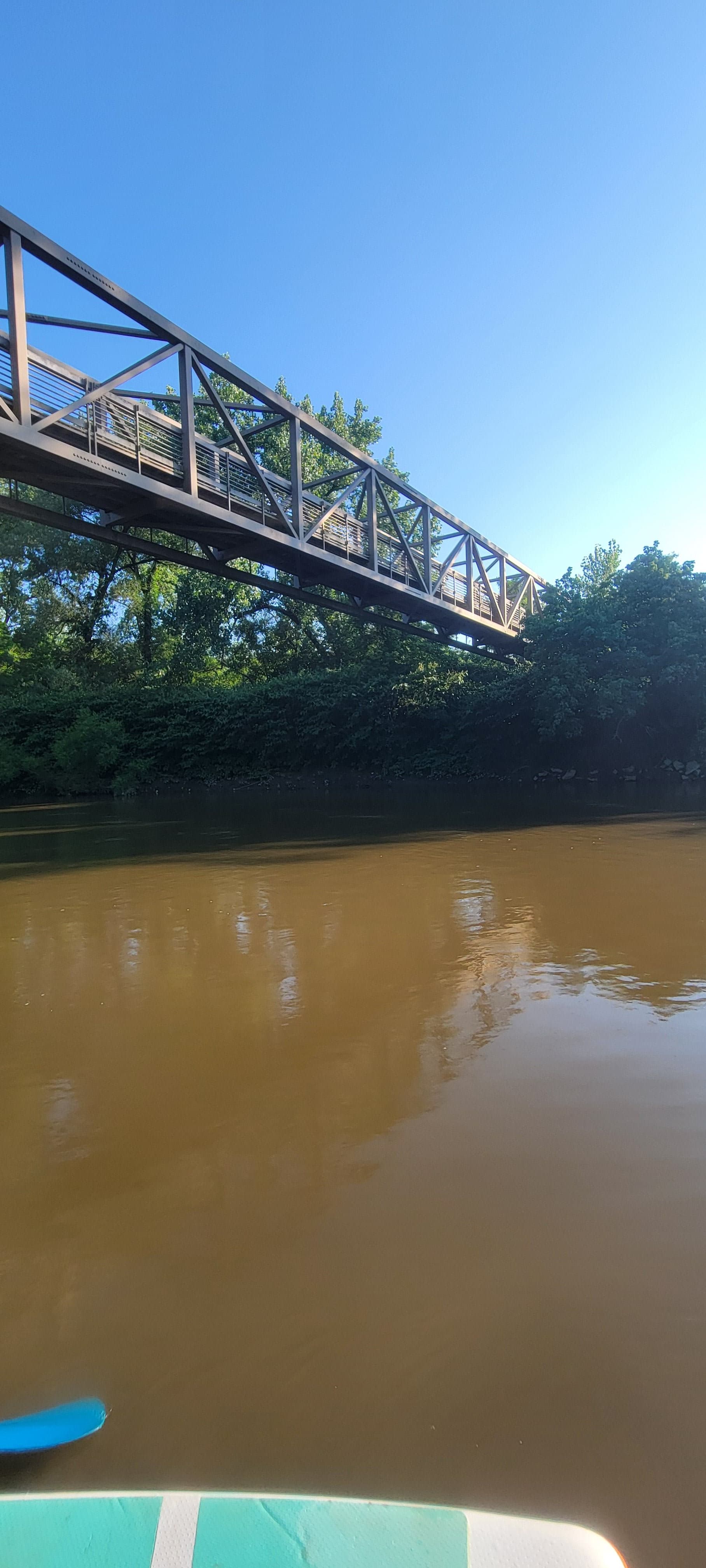
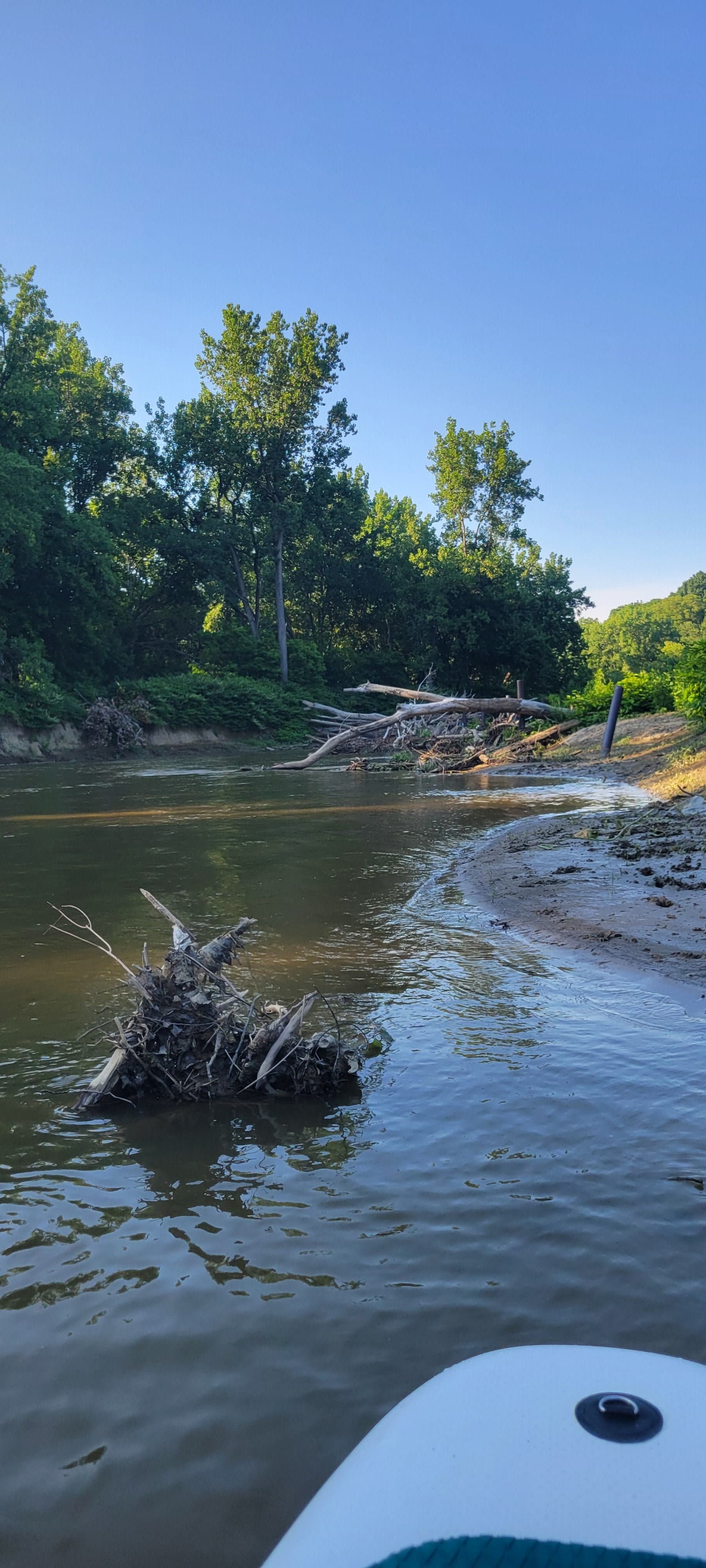
    Trying the Cuyahoga River. It was fun and a bit challenging on the SUP. A few technical parts. There were multiple construction signs regarding bridge work . We did not take out but had to be aware some of it sorted the floor
    • Photo 1 from John S.'s trip
    • Photo 2 from John S.'s trip
    • Photo 3 from John S.'s trip+2
    Mentions: rapid

Flows & weather (10 day forecast)

The gauges near this route and the forecast where it starts, so you can pick your day.

No forecast data available.

Same water

More routes on the Cuyahoga River

The other curated routes on the Cuyahoga River, each with how it is running now.

Curated by PaddleWays

RouteClass I–II

Distance
5 mi
Paddle time
~1.5 hrs
Best for
Beginners, intermediate paddlers
Put-in → take-out
Cuyahoga River Boat Ramp → Cuyahoga River Canoe Launch
Curated by PaddleWays

RouteFlatwater

Distance
5.7 mi
Paddle time
~2 hrs
Put-in → take-out
Valley View Access → Botzum Trailhead Access
Curated by PaddleWays

RouteClass II–III

Distance
1.1 mi
Paddle time
~0.5 hrs
Best for
Kayak
Put-in → take-out
Rivergate Park Access → Wendy Park Access
Freighter thruster jets can flip boats
Curated by PaddleWays

RouteClass V

Distance
1.7 mi
Paddle time
~0.5 hrs
Best for
Kayak, raft
Put-in → take-out
Riverfront Park Boat Ramp → Cuyahoga River Reservoir Access
Class V rapids
Curated by PaddleWays

RouteClass III–IV

Distance
2 mi
Paddle time
~0.5 hrs
Best for
Intermediate paddlers, experienced paddlers
Put-in → take-out
Cuyahoga River Reservoir Access → Cuyahoga River Canoe Launch

Close by

Routes near this one

Curated routes on other waters within an hour or so, nearest first.

Curated by PaddleWays

RouteClass IV–V

Distance
3.3 mi
Paddle time
~1 hr
Best for
Experienced paddlers
Put-in & take-out
Tinkers Creek Canoe Launch
Barricade across creek at the canal
Curated by PaddleWays

RouteClass II–III

Distance
5 mi
Paddle time
~1.5 hrs
Best for
Intermediate paddlers
Put-in → take-out
Ghent → Cuyahoga River
Curated by PaddleWays

RouteClass I

Distance
8.3 mi
Paddle time
~3 hrs
Best for
Kayak, canoe, raft
Put-in → take-out
Rogers Road → Chagrin River Boat Ramp

Smarter Paddling Starts in the App.

PaddleWays gives you everything you need to plan smarter, paddle better, and own every trip from first launch to takeout.