Cuyahoga River
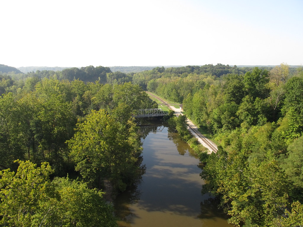
Cuyahoga River
- Boat Ramps
- 20
- Access Points
- 34
- Campsites
- 5
The Cuyahoga River, winding its way through northeastern Ohio, is a waterway of remarkable diversity and historical significance. Stretching approximately 100 miles from its headwaters in Geauga County to its mouth at Lake Erie in Cleveland, the Cuyahoga offers paddlers a journey through scenic rural landscapes, lush forests, and urban environments.
The river can be divided into several distinct sections, each with its own character and paddling experience. The Upper Cuyahoga, designated as an Ohio Scenic River, provides a peaceful 25-mile stretch of calm waters ideal for beginners and nature enthusiasts. As the river flows northward, it enters the Cuyahoga Valley National Park, where paddlers can enjoy a 25-mile section of varied scenery and wildlife viewing opportunities.
The difficulty of paddling the Cuyahoga ranges from flatwater suitable for novices to challenging Class V rapids in the Cuyahoga Falls area, known as "The Gorge". This variety makes the river appealing to paddlers of all skill levels. However, the most technical and dangerous section in Cuyahoga Falls should only be attempted by expert whitewater kayakers.
Spring and early summer typically offer the best water levels for paddling, though the river is generally navigable from late spring through fall. During periods of heavy rain, some sections may become too swift for safe paddling, so it's essential to check water levels and conditions before embarking on a trip.
The Cuyahoga's ecosystem supports a diverse array of flora and fauna. Paddlers may spot great blue herons, bald eagles, and various waterfowl along the banks. The river corridor is home to numerous fish species, including smallmouth bass and steelhead trout, making it a popular destination for anglers as well.
Notable landmarks along the river include the picturesque waterfalls in Cuyahoga Falls, the historic Ohio & Erie Canal towpath, and the iconic skyline of Cleveland as the river approaches Lake Erie. The Cuyahoga Valley Scenic Railroad runs parallel to much of the river, offering a unique "Kayak Aboard" program that allows paddlers to ride the train with their kayaks for one-way trips.
Access points are plentiful, with major put-ins and take-outs near towns such as Burton, Kent, Cuyahoga Falls, Akron, and Cleveland. These communities offer amenities and services for paddlers, including outfitters and shuttle services.
The Cuyahoga River holds a significant place in American environmental history. Once heavily polluted and infamous for catching fire in 1969, the river's recovery stands as a testament to successful environmental restoration efforts. Today, it serves as both a recreational asset and a symbol of ecological resilience.
Safety is paramount when paddling the Cuyahoga. All boaters must follow Ohio boating laws, including proper registration of watercraft. The National Park Service prohibits alcohol consumption on park property without a permit. In the lower sections near Cleveland, paddlers must exercise extreme caution due to commercial shipping traffic, as large vessels can create dangerous conditions for small watercraft.
While most paddlers enjoy day trips on the Cuyahoga, multi-day adventures are possible by combining several sections. A popular option is to paddle the length of the Cuyahoga Valley National Park over two or three days, taking advantage of the park's camping facilities.
From its serene upper reaches to its bustling urban finale, the Cuyahoga River offers a paddling experience that is both diverse and uniquely Ohioan. Whether you're seeking a peaceful float through nature or an adrenaline-pumping whitewater challenge, the Cuyahoga has something to offer every paddler willing to explore its storied waters.
Water access, boat ramps & amenities
Learn how to get on Cuyahoga River. Uncover great paddling access points, boat ramps, and all the facilities you need for an unforgettable day on the water. Some locations shown may border or include private property. Always check property boundaries and applicable regulations before visiting. PaddleWays's Public & Private Land layer can help you plan your access with confidence.
Northampton Point River Access 36.7R
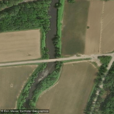
Bolanz Road Access
Valley View Access
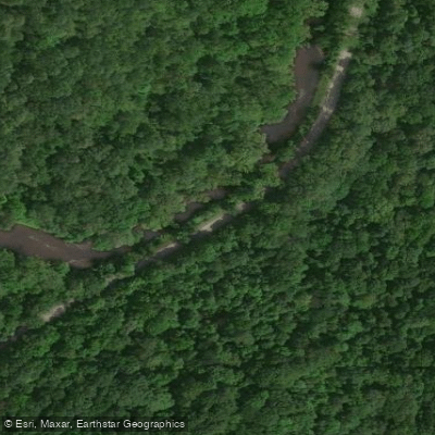
Akron Peninsula Road Access
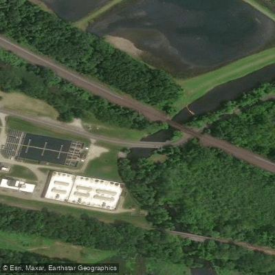
Ravenna Road Access
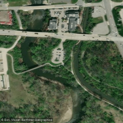
Cuyahoga River Access
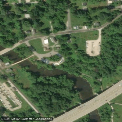
Boston Trailhead Access
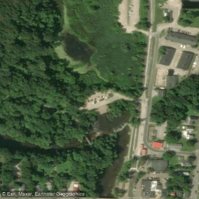
Peninsula Access
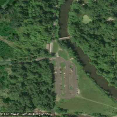
Brecksville Station Access
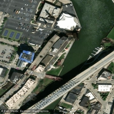
Cuyahoga River Access
Paddle smarter with real-time insights
Whether you're en route and conditions shift or you're looking for the best spot based on current flows, we enable you to make informed decisions on the fly.








Find Places to Paddle

Over 400,000 Places to Paddle
Every user gets free access to launch points, boat ramps, and public property parcels.


Water and weather conditions (10 day forecast)
See the best times to paddle Cuyahoga River and check the forecast before you go.
Cuyahoga River at Hiram Rapids OH
All Flow Stations
Paddling near Cuyahoga River

Lake Erie
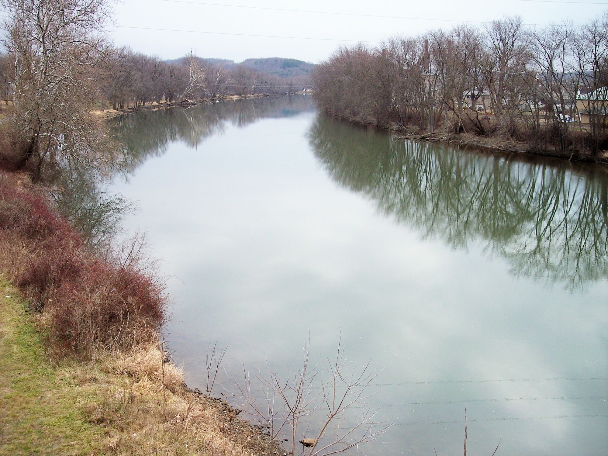
Tuscarawas River
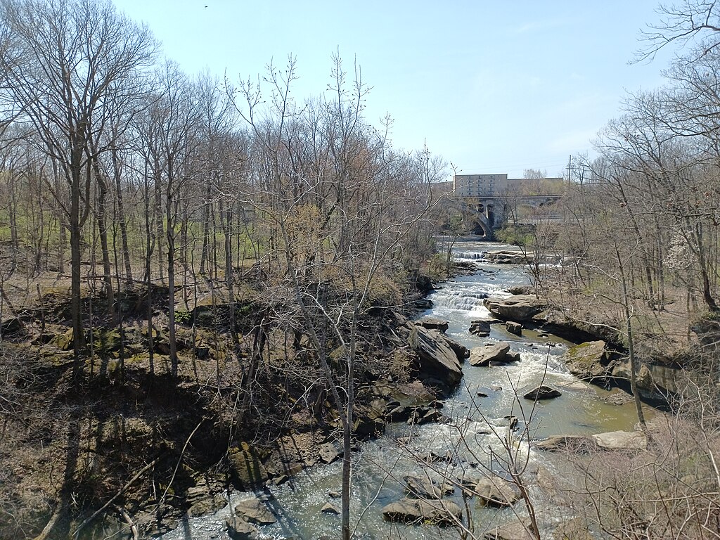
East Branch Rocky River
Chagrin River
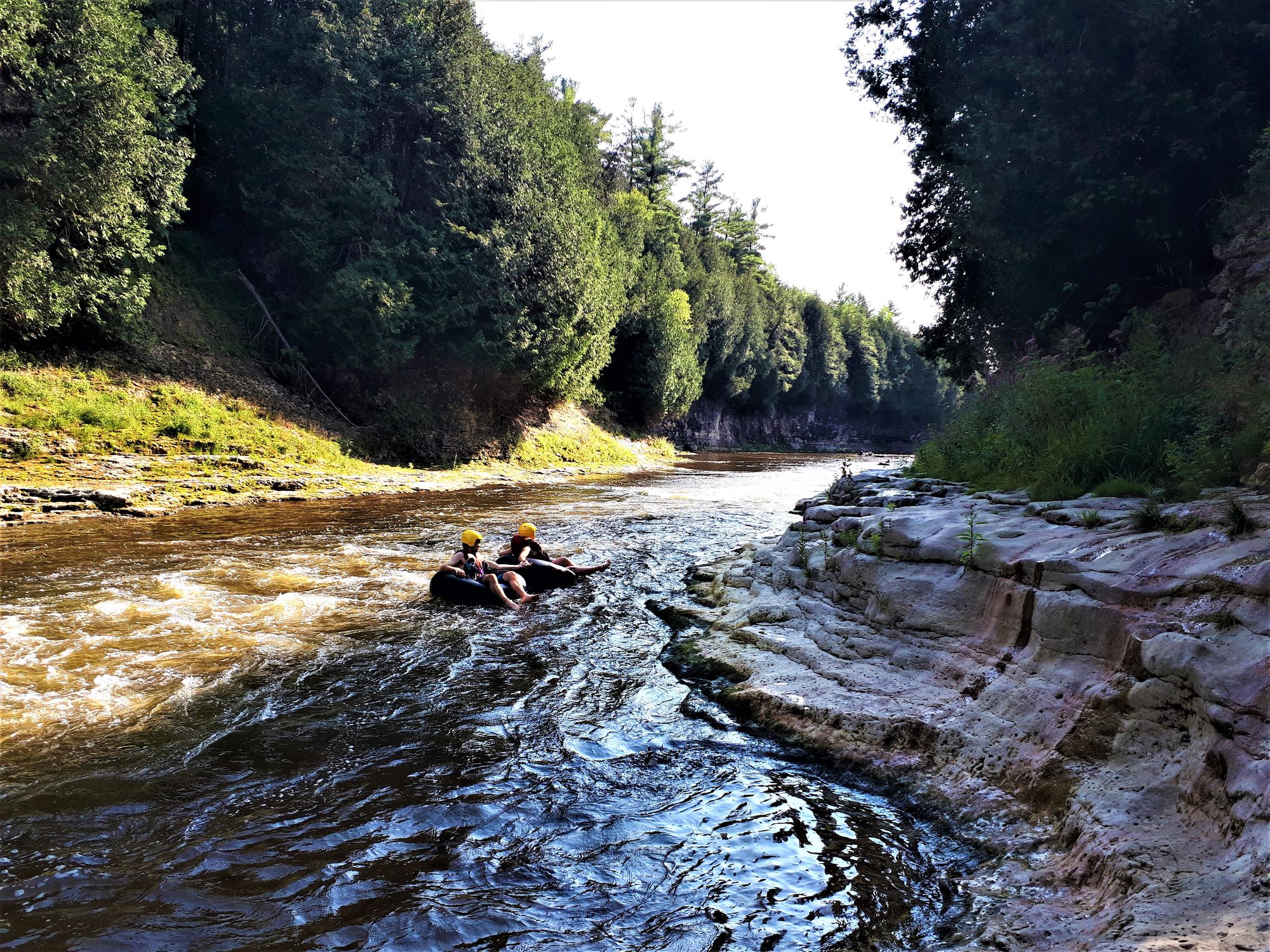
Grand River
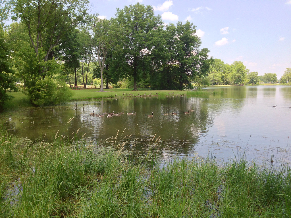
Mosquito Creek Lake
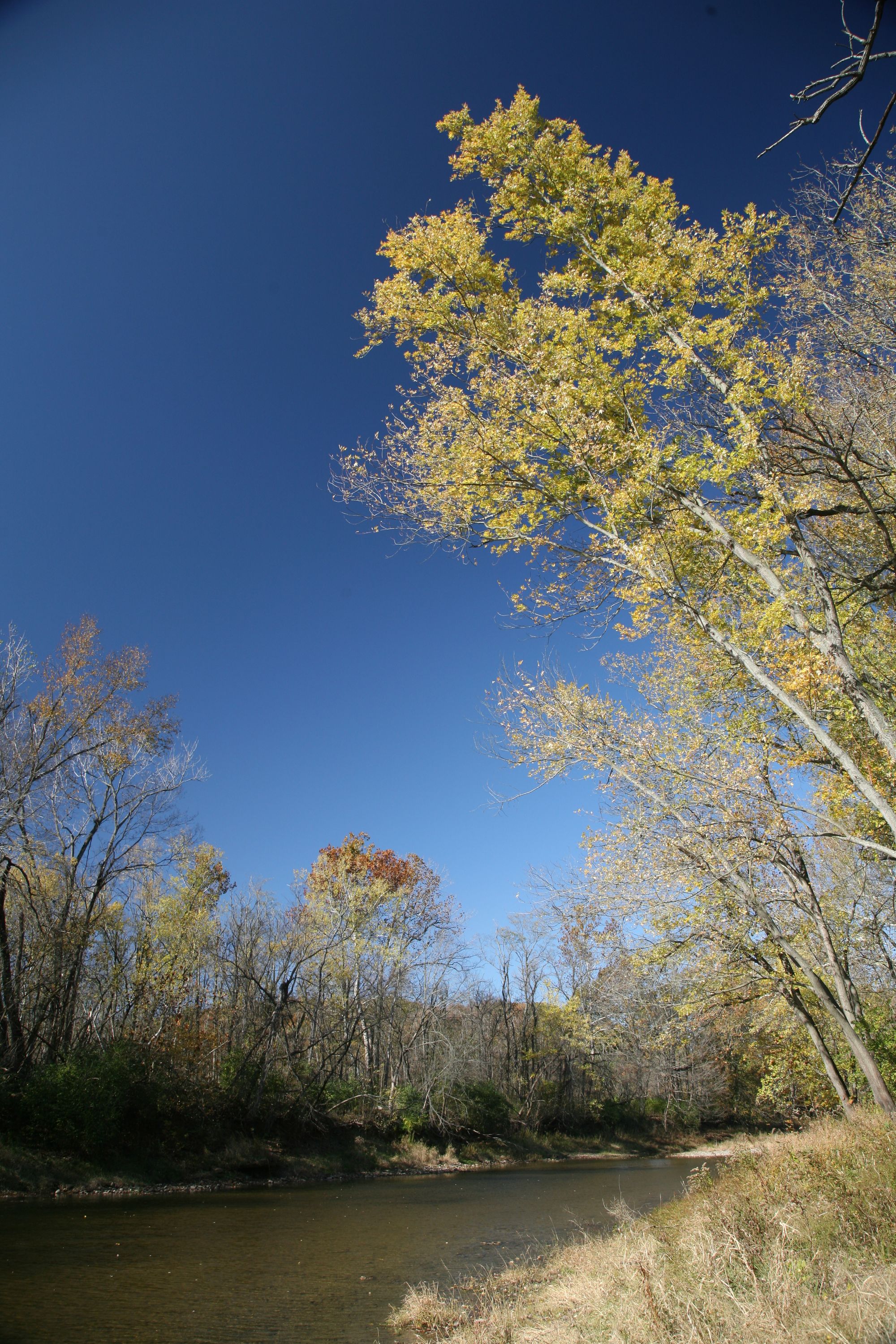
Vermilion River
Tinkers Creek
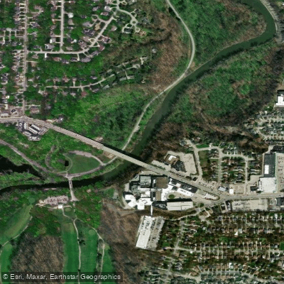
Rocky River
Explore Ohio waters
Top paddling waters
Popular Cities
Loading popular cities...
Explore near Cuyahoga River
Access points
- Cuyahoga River Boat Ramp
- Cuyahoga River Boat Ramp
- Cuyahoga River Canoe Launch
- Cuyahoga River Boat Ramp
- Cuyahoga River Boat Ramp
- Cuyahoga River Boat Ramp
- Cuyahoga River Boat Ramp
- Cuyahoga River Boat Ramp
- Cuyahoga River Boat Ramp
- Cuyahoga River Boat Ramp
- Cuyahoga River Boat Ramp
- Cuyahoga River Hand Boat Launch
- All 217 spots
Nearby waters
More in Ohio

Smarter Paddling Starts in the App.
Paddleways gives you everything you need to plan smarter, paddle better, and own every trip from first launch to takeout.