Curated by PaddleWays
RouteFlatwater
- Distance
- 24.1 mi
- Paddle time
- ~8 hrs
- Put-in → take-out
- Cobb Creek Reservoir Access → Fort Cobb Lake Access
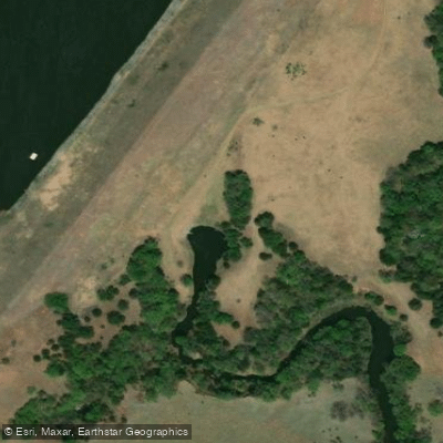
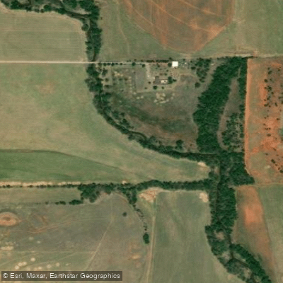
Cobb Creek, also known as Pond Creek, is a significant waterway in southwestern Oklahoma. Originating in Washita County just south of Weatherford, the creek flows generally south-southeast through Washita and Caddo counties before joining the Washita River southeast of Fort Cobb. The creek's journey is punctuated by two major reservoirs. About 10 miles south of Weatherford, Cobb Creek feeds into Crowder Lake, an 158-acre reservoir created in 1959 by the 89-foot high Cobb Creek Watershed Dam No. 1. Continuing southward, the creek passes through the town of Colony before entering Fort Cobb Lake, a much larger 4,000-acre reservoir.
Paddling opportunities on Cobb Creek are limited, with most recreational activities centered around the two lakes. Crowder Lake University Park, managed by Southwestern Oklahoma State University, offers flatwater paddling and fishing. The larger Fort Cobb Reservoir provides extensive opportunities for boating, fishing, and water sports, with multiple boat ramps and access points available through Fort Cobb State Park. The creek and its reservoirs support a variety of fish species, making it popular among anglers.
The surrounding landscape is characterized by mixed grasslands and agricultural areas typical of southwestern Oklahoma. Fort Cobb State Park, bordering the reservoir, serves as the primary access point for water-based recreation. The park offers camping facilities, hiking trails, and a golf course with scenic lake views. Sunset Cove Marina on the west side of the lake provides boat rentals, slips, and other amenities for visitors.
While Cobb Creek itself doesn't offer notable whitewater or long-distance paddling routes, its reservoirs play a crucial role in flood control and water supply for the region. The creek and its impoundments are part of the larger Washita River watershed, contributing to the area's agricultural productivity and recreational resources.
Paddlers should be aware of potential rapid water level changes due to releases from Crowder Lake dam. Additionally, Oklahoma fishing and boating regulations apply to both lakes, and visitors should check current conditions and any advisories before planning their activities.
For those seeking a multi-day adventure, combining paddling on Fort Cobb Reservoir with hiking and camping in the state park can provide an immersive outdoor experience in this picturesque corner of Oklahoma.
Curated routes
Hand-picked by the PaddleWays team, with put-ins, take-outs, paddle times and the hazards along the way.
RouteFlatwater
Hazards
No paddler has reported a hazard here yet, so these are the dams, falls and big rapids on our map. Hazards change with flows and storms, so check them before you launch.
From the community
Nobody has shared a trip on Cobb Creek yet. Paddle it, then tell the next paddler how it went.
See exactly where the public can get on and off the river. Launch points and boat ramps are paired with PaddleWays' public land data so you know where you can legally land.
Public shoreline
11%of the river's shoreline is public
Most of the riverbank is private. Launch, land and camp only at public access points.
Flows, weather and a route-by-route verdict, so you know which stretch of the Cobb Creek is worth paddling today.
All Flow Stations
Live flows, marked hazards and fresh trip reports from paddlers who were just on the water, all in one place.





Every user gets free access to launch points, boat ramps, and public property parcels.
Loading popular cities...
PaddleWays gives you everything you need to plan smarter, paddle better, and own every trip from first launch to takeout.