Fort Gibson Lake
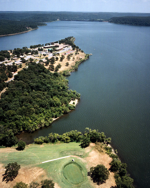
Fort Gibson Lake
- Boat Ramps
- 34
- Access Points
- 36
- Campsites
- 13
Fort Gibson Lake, located in northeastern Oklahoma, offers diverse paddling opportunities on its expansive waters. The lake spans Wagoner, Cherokee, and Mayes Counties, extending from the Grand (Neosho) River to Markham Ferry Dam. Its gradual sloping shoreline provides easy water access, with Blue Bill Point on Flat Rock Bay being an ideal protected shallow cove for kayaks and canoes.
Paddlers can explore the lake's tranquil waters while taking in the natural scenery. The lake is known for its excellent fishing, with species like black bass, white bass, crappie, catfish, and panfish abundant. Whitetail deer, bobwhite quail, mourning doves, ducks, geese, rabbits, and squirrels may be spotted around the shoreline.
For those seeking a more adventurous experience, Pelican Point Marina offers kayak and paddle board rentals by the hour. The marina is located in the southern portion of the lake, providing a convenient launch point for day trips.
Safety considerations include being aware of motorized boat traffic, particularly in more open areas of the lake. Paddlers should also note that the lake can experience windy conditions.
Facilities for paddlers include boat ramps and courtesy docks at locations like Blue Bill Point. Some areas may require a day use pass, so visitors should check local regulations before launching.
The lake's aesthetic is characterized by its expansive waters surrounded by the Oklahoma landscape. While specific water temperatures are not provided, the lake offers year-round paddling opportunities, with three heated fishing docks suggesting comfortable conditions even in cooler months.
The lake's historical significance is tied to its namesake, historic Fort Gibson, located about 5 miles southeast of the lake. This connection provides an interesting cultural backdrop for paddlers exploring the area.
Water access, boat ramps & amenities
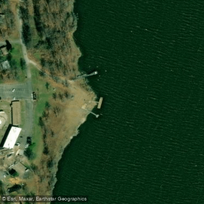
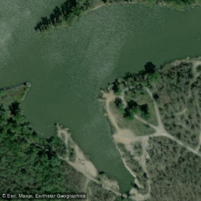
Learn how to get on Fort Gibson Lake. Uncover great paddling access points, boat ramps, and all the facilities you need for an unforgettable day on the water. Some locations shown may border or include private property. Always check property boundaries and applicable regulations before visiting. PaddleWays's Public & Private Land layer can help you plan your access with confidence.
Paddle smarter with real-time insights
Whether you're en route and conditions shift or you're looking for the best spot based on current flows, we enable you to make informed decisions on the fly.








Find Places to Paddle

Over 400,000 Places to Paddle
Every user gets free access to launch points, boat ramps, and public property parcels.


Water and weather conditions (10 day forecast)
See the best times to paddle Fort Gibson Lake and check the forecast before you go.
No forecast data available.
Paddling near Fort Gibson Lake
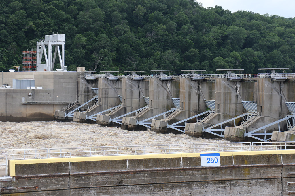
Webbers Falls Reservoir

Arkansas River
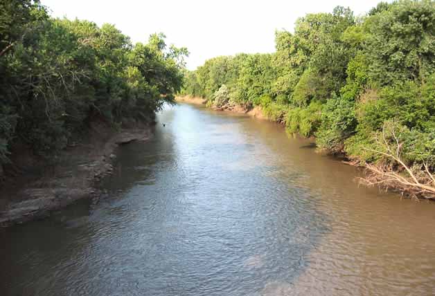
Neosho River
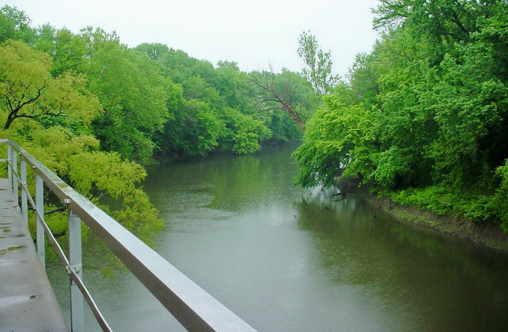
Verdigris River
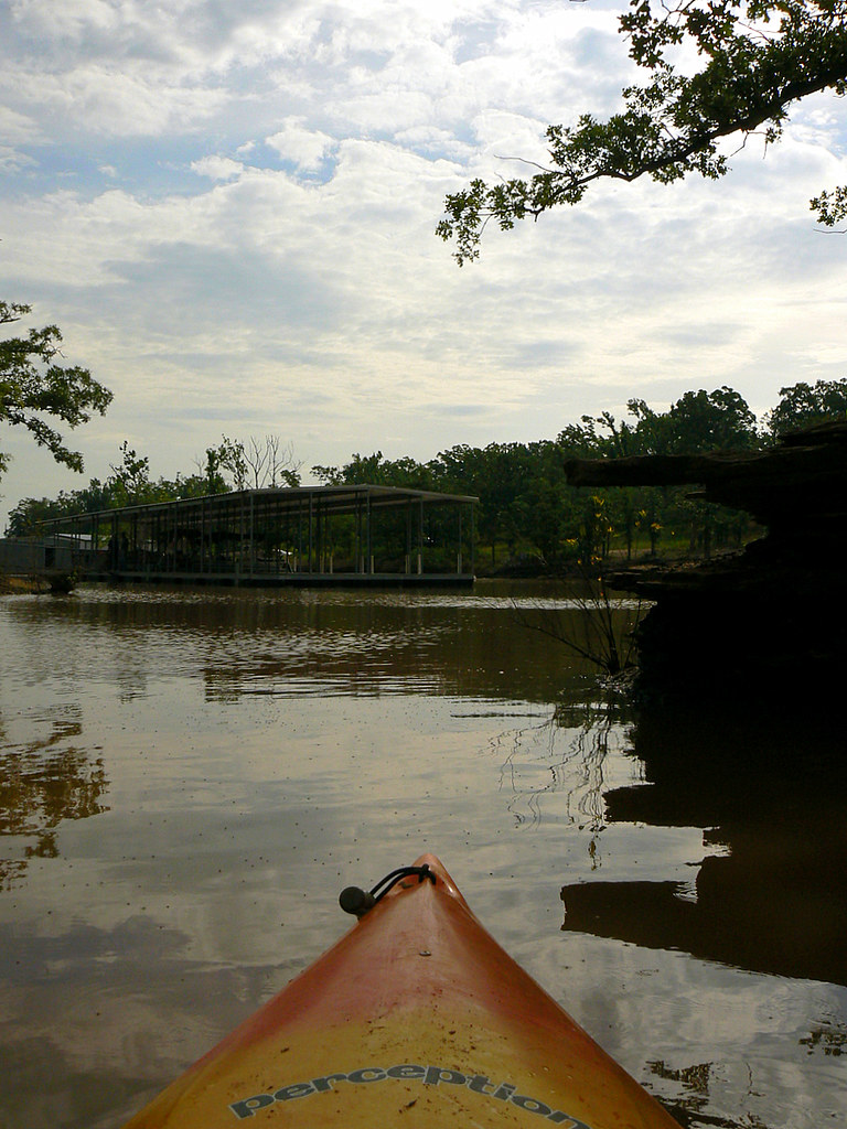
Eufaula Lake
Canadian River
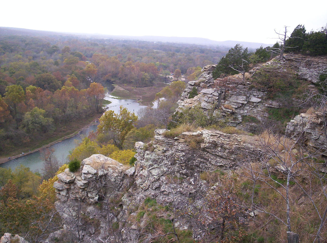
Illinois River
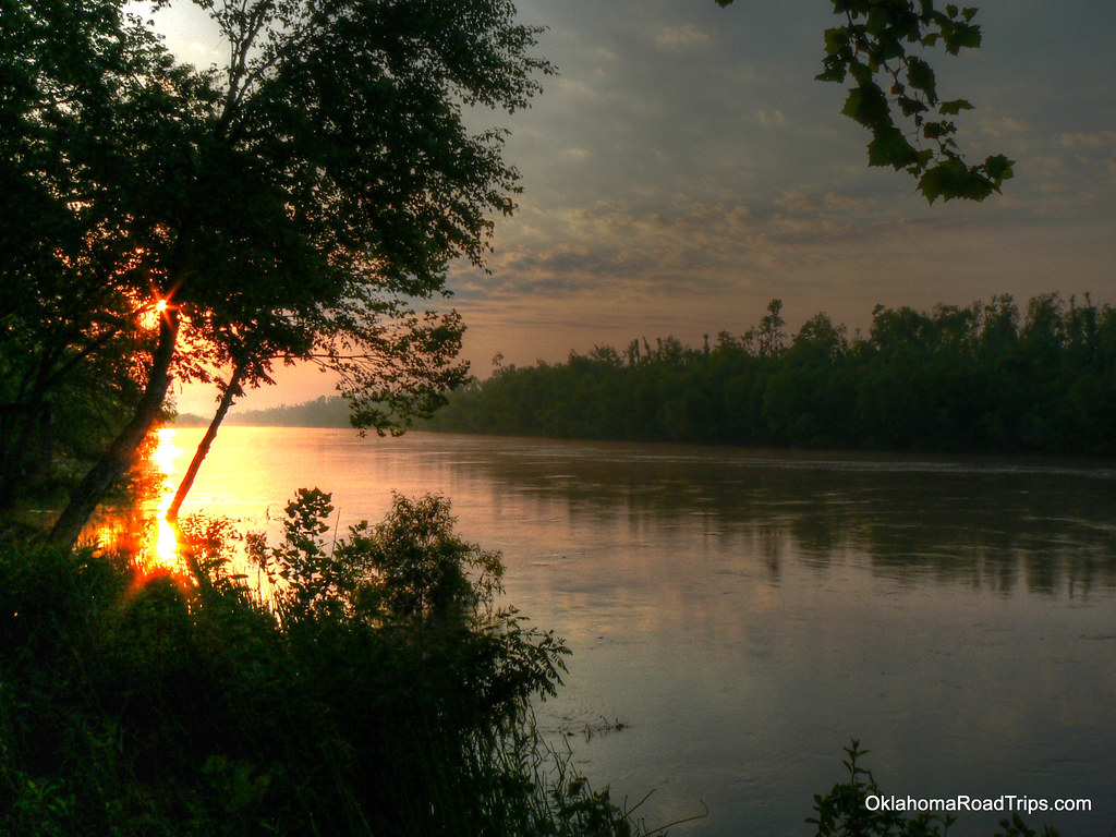
North Canadian River
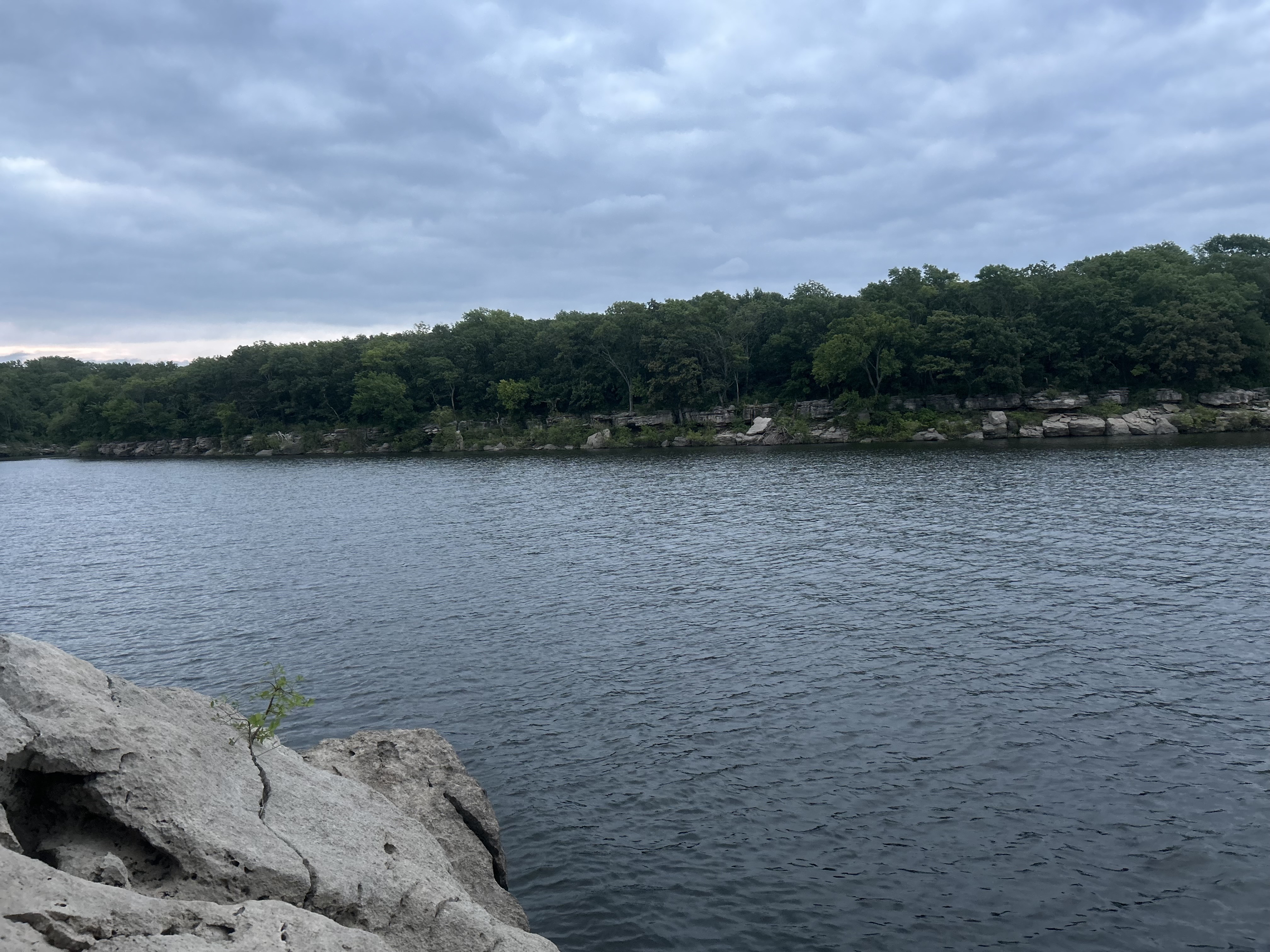
Oologah Lake
Explore Oklahoma waters
Top paddling waters
Popular Cities
Loading popular cities...
Explore near Fort Gibson Lake
Access points
Nearby waters
More in Oklahoma

Smarter Paddling Starts in the App.
Paddleways gives you everything you need to plan smarter, paddle better, and own every trip from first launch to takeout.