Lake Murray
Lake Murray
- Boat Ramps
- 17
- Access Points
- 26
- Campsites
- 1
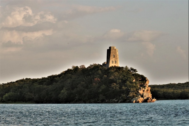
Lake Murray, located in southern Oklahoma, is a 5,728-acre lake entirely surrounded by Lake Murray State Park, the state's first and largest state park covering 12,500 acres. The lake offers 150 miles of shoreline for paddlers to explore, with numerous coves and areas to find solitude. Multiple boat ramps and access points are available around the lake, including at campgrounds like Tipps Point, Elephant Rock, and Marietta Landing.
Paddlers can enjoy scenic views of forested, rolling hills and bluffs surrounding the lake. A notable sight is Tucker Tower, which overlooks the lake near the marina and Buzzard's Roost Campground. The lake is large enough to accommodate various watercraft, so paddlers should be aware of motorboat traffic, especially during peak summer months. Early mornings or late afternoons may offer calmer conditions.
Several campgrounds around the lake provide amenities for paddlers, including restrooms, showers, picnic areas, and boat docks. The marina offers boat rentals and a ship store. Lake Murray Water Sports also provides water-based activities. Paddlers can combine their trip with hiking, as the park features over 30 miles of trails, including the Buckhorn Trail accessible from Tipps Point Campground.
The lake's water quality is suitable for swimming, with multiple beach areas available. Wildlife viewing opportunities abound in the diverse terrain. Historically, the park was established in the 1930s, with features like the Rock Tower campground showcasing this heritage.
Paddlers should be aware of daily parking fees, which start at $10 per vehicle. Reservations for camping can be made up to 11 months in advance through the state park system. While specific paddling regulations are not mentioned, standard water safety practices should be observed.
Water access, boat ramps & amenities
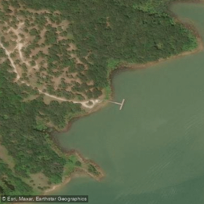
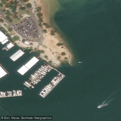
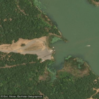
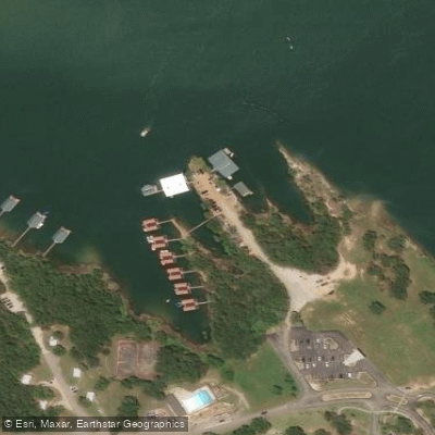
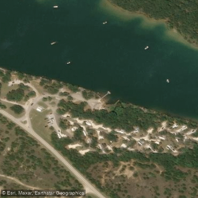
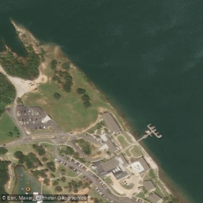
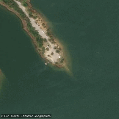
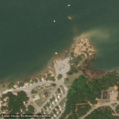
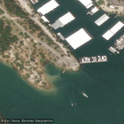
Learn how to get on Lake Murray. Uncover great paddling access points, boat ramps, and all the facilities you need for an unforgettable day on the water. Some locations shown may border or include private property. Always check property boundaries and applicable regulations before visiting. PaddleWays's Public & Private Land layer can help you plan your access with confidence.
Paddle smarter with real-time insights
Whether you're en route and conditions shift or you're looking for the best spot based on current flows, we enable you to make informed decisions on the fly.








Find Places to Paddle

Over 400,000 Places to Paddle
Every user gets free access to launch points, boat ramps, and public property parcels.


Water and weather conditions (10 day forecast)
See the best times to paddle Lake Murray and check the forecast before you go.
No forecast data available.
Paddling near Lake Murray
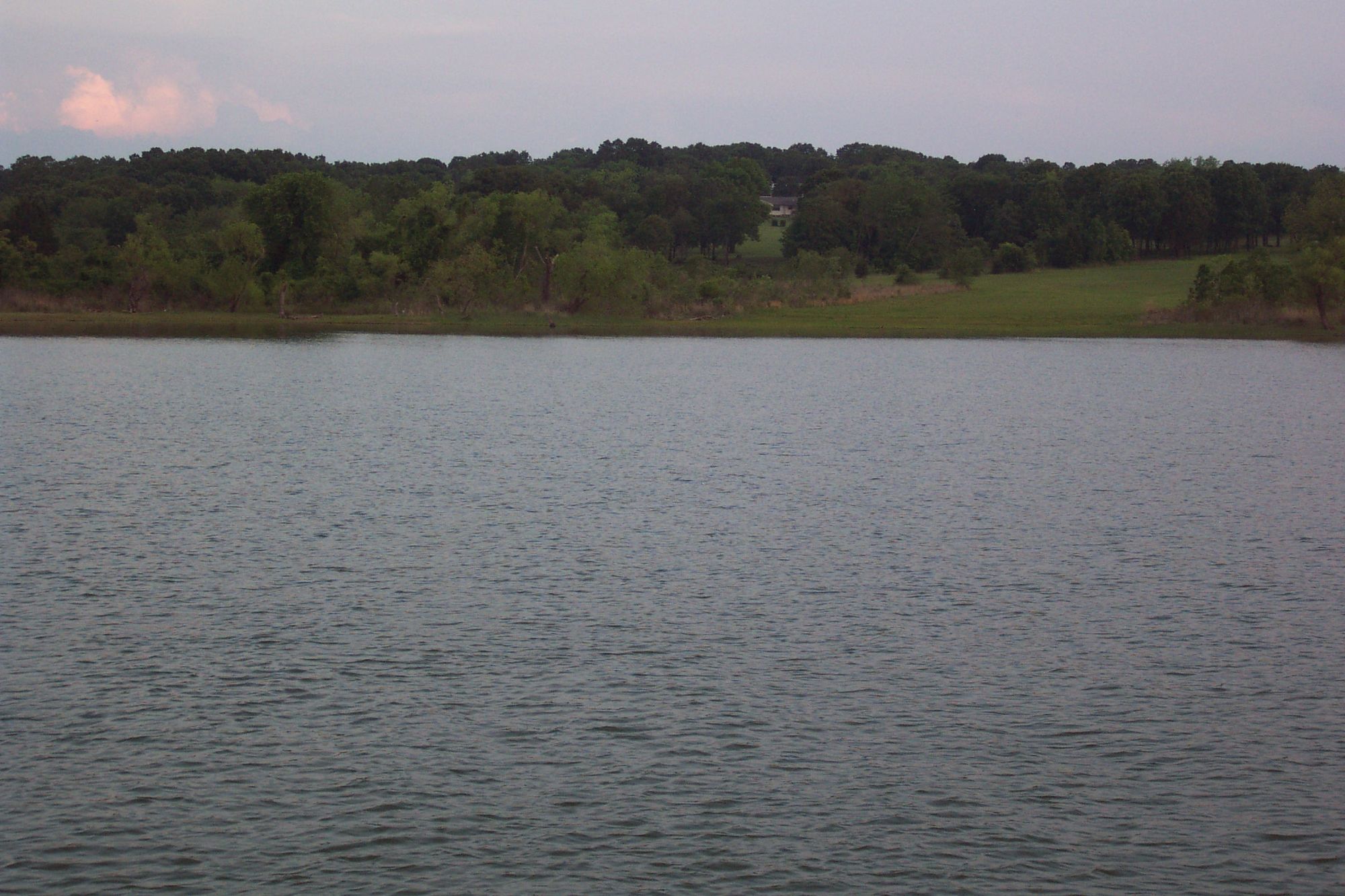
Lake Texoma
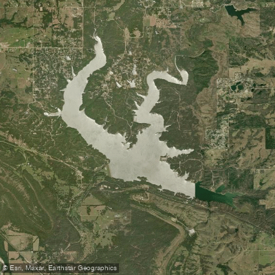
Lake of the Arbuckles

Red River
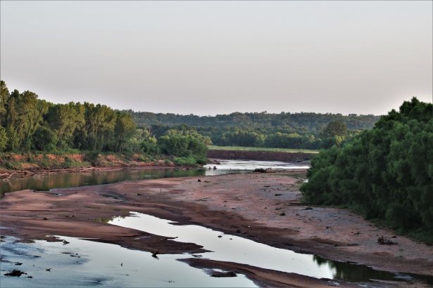
Washita River
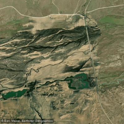
Canadian River
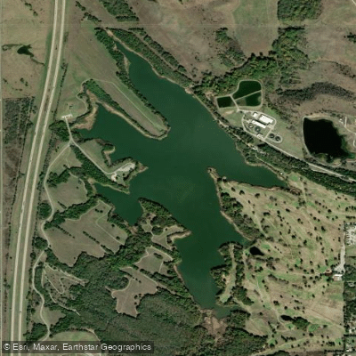
City Lake
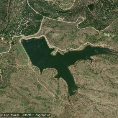
Veterans Lake
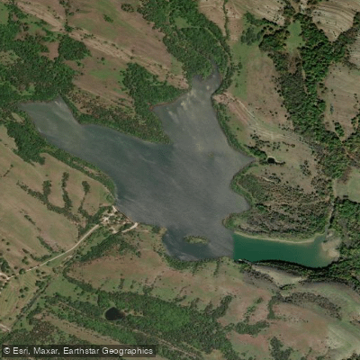
Mountain Lake
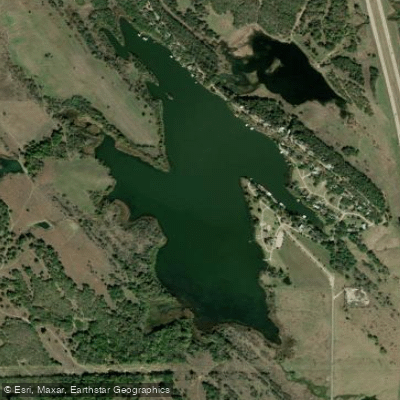
Lake Ardmore
Explore Oklahoma waters
Top paddling waters
Popular Cities
Loading popular cities...
Explore near Lake Murray
Access points
Nearby waters
More in Oklahoma

Smarter Paddling Starts in the App.
Paddleways gives you everything you need to plan smarter, paddle better, and own every trip from first launch to takeout.