Shawnee Reservoir
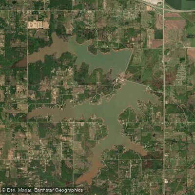
Shawnee Reservoir
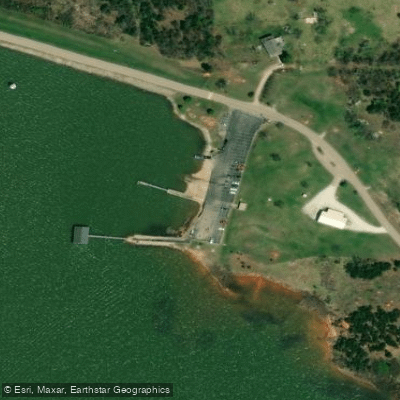
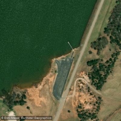
- Boat Ramps
- 4
- Access Points
- 6
- Campsites
- 0
Shawnee Twin Lakes, located in Oklahoma, consists of two connected lakes offering diverse paddling opportunities. Lake #1, built in 1935, covers 1,336 acres with 16 miles of shoreline, while Lake #2, constructed in 1960, spans 1,100 acres with 9 miles of shoreline. The lakes are joined by a 10-foot-deep canal built in 1962.
Kayaks and canoes are welcome on both lakes without a permit. Two main access points exist: for Lake #2 and the west side of Lake #1, turn right on Pecan Grove Road about 1 mile south of I-40; for the east side of Lake #1, turn right on Lake Road approximately 3 miles south of I-40.
The lakes offer a mix of open water and shoreline paddling. Paddlers should be aware that motorized boats, water skiing, and personal watercraft are also allowed, particularly on Lake #1. This may create wakes and require increased vigilance, especially during peak summer months.
Notable amenities include Isaac Walton Park on Lake #1, featuring a pavilion, picnic areas, and restrooms. Glenn Collins Memorial Park, located between the two dams, provides similar facilities. Both parks are open daily from 7 am to 9 pm.
Wildlife enthusiasts may appreciate that the surrounding area serves as a wildlife refuge. Fish species in the lakes include bass, crappie, sand bass, and channel catfish.
Paddlers should be aware of the presence of zebra mussels, an invasive species confirmed in the lakes in April 2022. To prevent their spread, it's crucial to clean, drain, and dry all equipment before moving to other water bodies.
The lakes are open year-round, but services like campsites and public restrooms may be limited during winter months. For the most up-to-date information on facilities and conditions, contact the lake office at 405-878-1528.
Water access, boat ramps & amenities
Learn how to get on Shawnee Reservoir. Uncover great paddling access points, boat ramps, and all the facilities you need for an unforgettable day on the water. Some locations shown may border or include private property. Always check property boundaries and applicable regulations before visiting. PaddleWays's Public & Private Land layer can help you plan your access with confidence.
Paddle smarter with real-time insights
Whether you're en route and conditions shift or you're looking for the best spot based on current flows, we enable you to make informed decisions on the fly.








Find Places to Paddle

Over 400,000 Places to Paddle
Every user gets free access to launch points, boat ramps, and public property parcels.


Water and weather conditions (10 day forecast)
See the best times to paddle Shawnee Reservoir and check the forecast before you go.
Shawnee Reservoir at Shawnee, OK
Paddling near Shawnee Reservoir
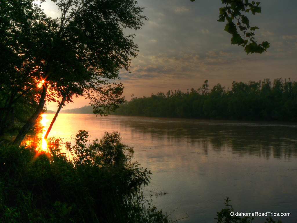
North Canadian River
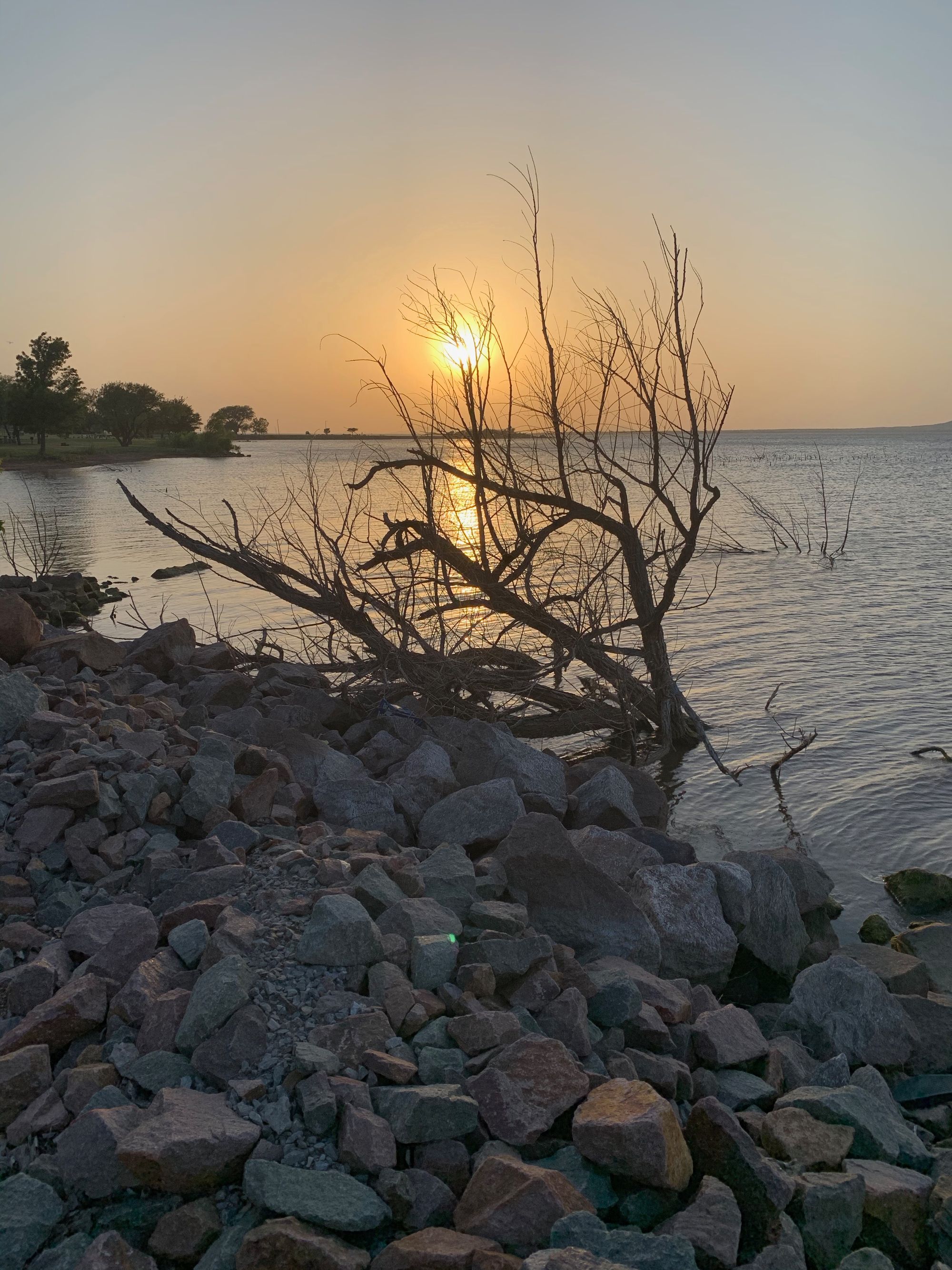
Lake Thunderbird
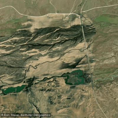
Canadian River
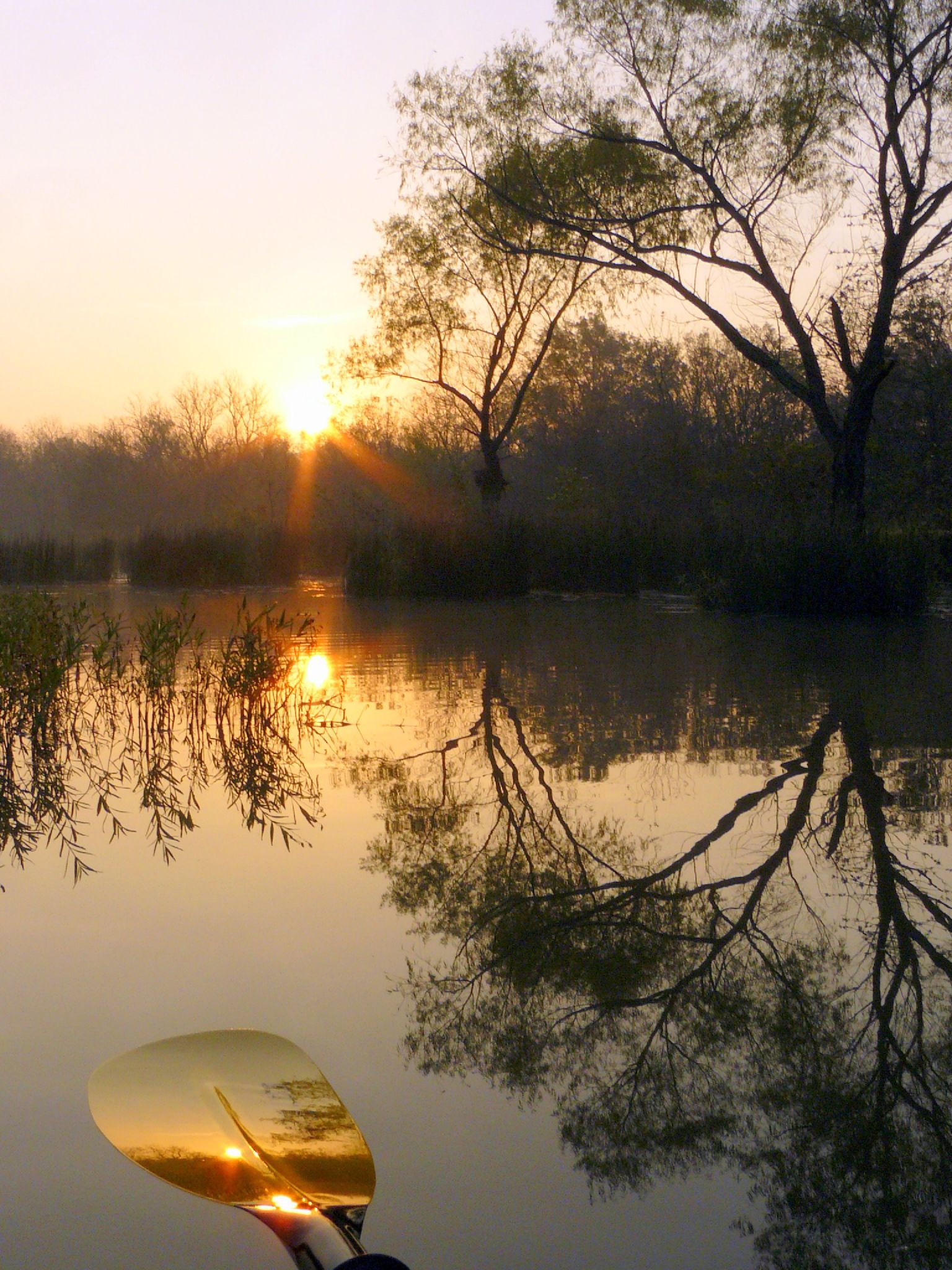
Deep Fork
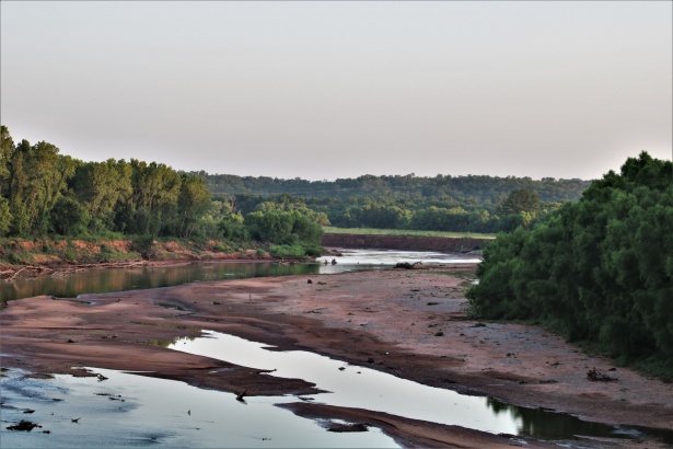
Washita River
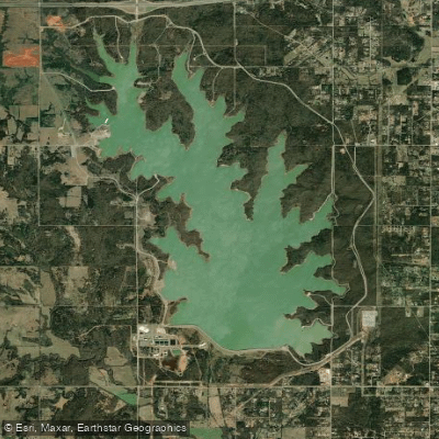
Stanley Draper Lake
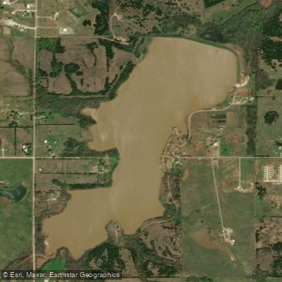
Tecumseh Lake
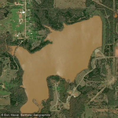
Meeker Lake
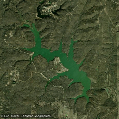
Sportsman Lake
Explore Oklahoma waters
Top paddling waters
Popular Cities
Loading popular cities...
Explore near Shawnee Reservoir
Access points
Nearby waters
More in Oklahoma

Smarter Paddling Starts in the App.
Paddleways gives you everything you need to plan smarter, paddle better, and own every trip from first launch to takeout.