Waurika Lake
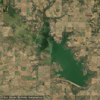
Waurika Lake
- Boat Ramps
- 12
- Access Points
- 17
- Campsites
- 1
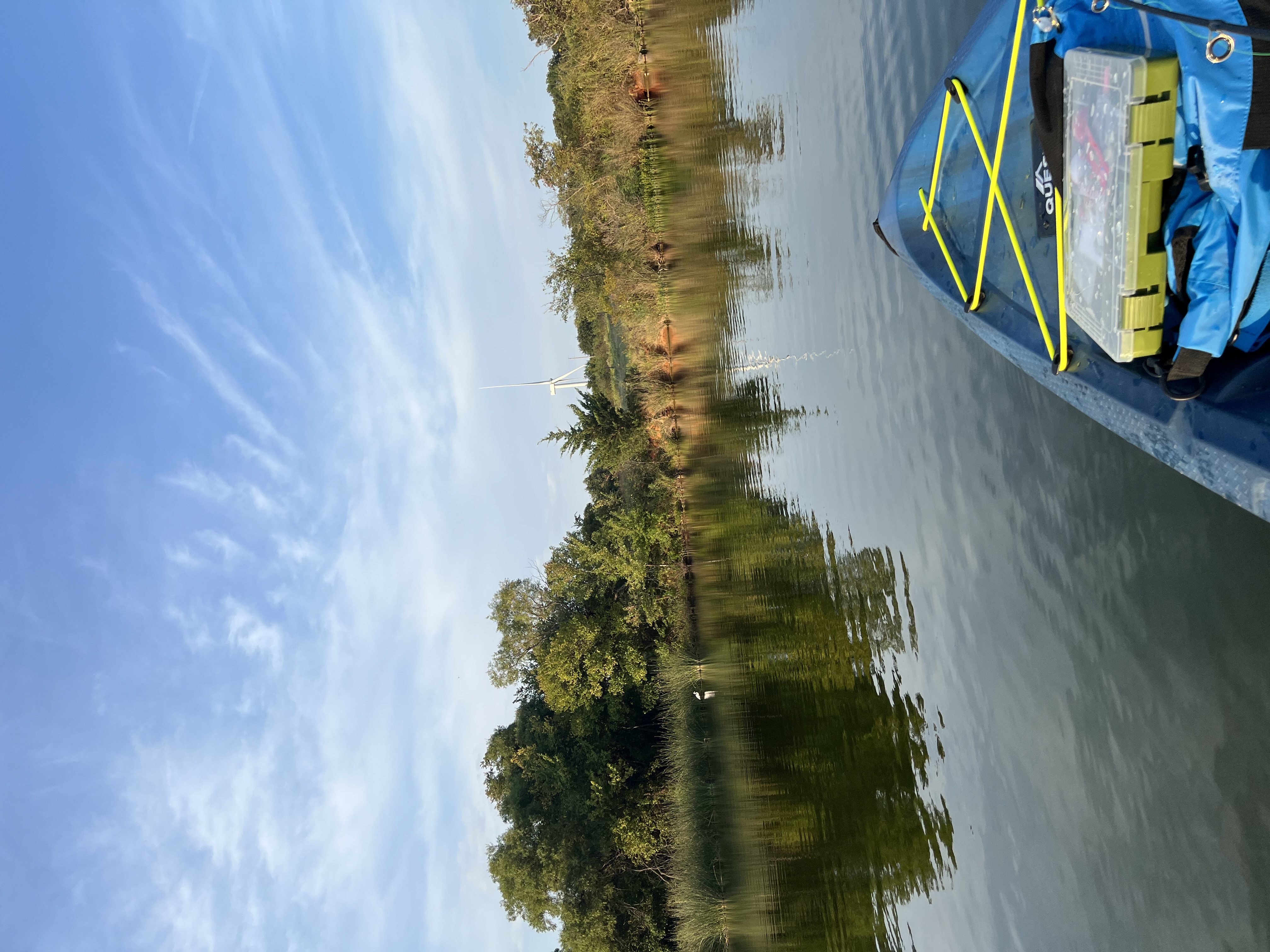
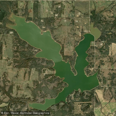
Waurika Lake is a 10,000-acre reservoir located 40 miles southeast of Lawton, Oklahoma. The lake features 12,000 acres of surrounding land and approximately 31 miles of shoreline. Managed by the U.S. Army Corps of Engineers, Waurika Lake offers multiple access points for paddlers, with half a dozen recreation areas providing boat ramps and facilities.
The lake's large surface area and four major embayments create excellent conditions for various paddling activities. Kayakers and canoeists will find easy, unrestricted shore access, allowing put-ins at numerous locations around the lake. The Waurika Lake Marina near Hastings is a recommended starting point for first-time visitors, offering kayak rentals and a designated swimming area.
Waurika Lake's ecosystem supports diverse wildlife, making it an ideal destination for nature enthusiasts. Anglers can expect to encounter striped bass and blue catfish, the two most prevalent species in the lake. The surrounding land, managed partly by the Oklahoma Department of Wildlife Conservation, provides opportunities to observe white-tailed deer, various waterfowl species, and wild turkeys.
Paddlers should be aware that Waurika Lake can experience murky water conditions, with water temperatures around 70°F in early June. The lake's primary purposes include flood control, irrigation, and water supply, which may affect water levels throughout the year.
Facilities for paddlers include campgrounds with full RV hookups, picnic shelters, and sanitary facilities at various recreation areas around the lake. The U.S. Army Corps of Engineers maintains these amenities, ensuring a comfortable experience for visitors.
The lake's irregular shoreline and multiple coves offer numerous exploration opportunities for day trips. Paddlers should exercise caution and be aware of other recreational activities on the lake, including motorized boating and water skiing.
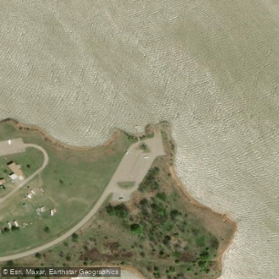
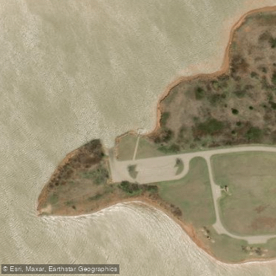
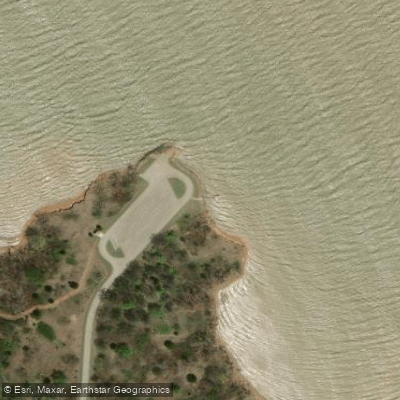
Water access, boat ramps & amenities
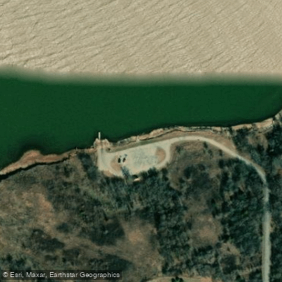
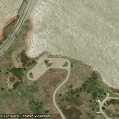
Learn how to get on Waurika Lake. Uncover great paddling access points, boat ramps, and all the facilities you need for an unforgettable day on the water. Some locations shown may border or include private property. Always check property boundaries and applicable regulations before visiting. PaddleWays's Public & Private Land layer can help you plan your access with confidence.
Paddle smarter with real-time insights
Whether you're en route and conditions shift or you're looking for the best spot based on current flows, we enable you to make informed decisions on the fly.








Find Places to Paddle

Over 400,000 Places to Paddle
Every user gets free access to launch points, boat ramps, and public property parcels.


Water and weather conditions (10 day forecast)
See the best times to paddle Waurika Lake and check the forecast before you go.
No forecast data available.
Paddling near Waurika Lake

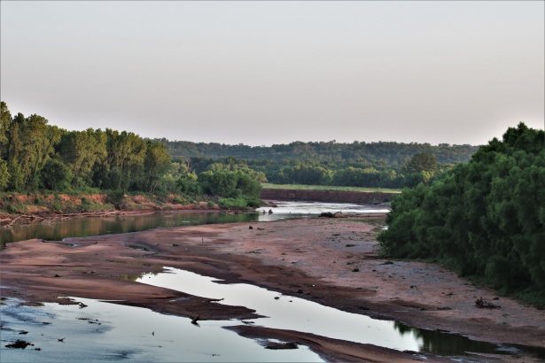
Red River
Washita River
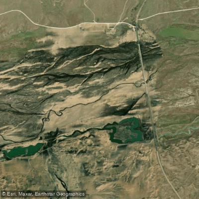
Canadian River
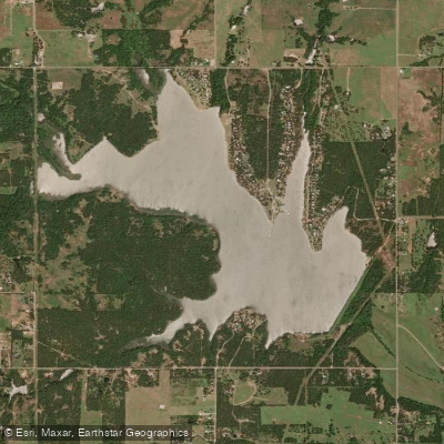
Lake Humphreys
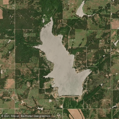
Clear Creek Lake
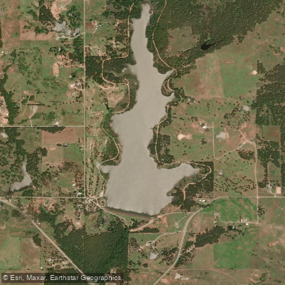
Comanche Lake
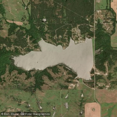
Duncan Lake
Taylor Lake
Lake Fuqua
Explore Oklahoma waters
Top paddling waters
Popular Cities
Loading popular cities...
Explore near Waurika Lake
Access points
Nearby waters
More in Oklahoma

Smarter Paddling Starts in the App.
Paddleways gives you everything you need to plan smarter, paddle better, and own every trip from first launch to takeout.