Webbers Falls Reservoir
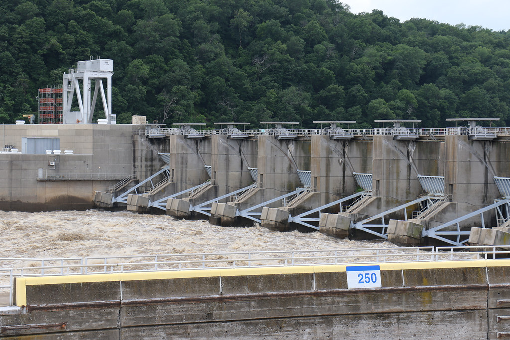
Webbers Falls Reservoir
- Boat Ramps
- 9
- Access Points
- 11
- Campsites
- 0
Webbers Falls Reservoir is an 11,600-acre impoundment of the Arkansas River in eastern Oklahoma. The lake features 175 miles of shoreline and is known for its scenic beauty, with flowering redbuds and dogwoods in spring and colorful hardwood foliage in fall.
The U.S. Army Corps of Engineers manages six recreation areas around the lake, providing multiple access points for paddlers. The two largest areas are Spaniard Creek and Brewer Bend, both offering boat ramps and campgrounds with hookups. Other access areas include Bluff View, Fort Gibson Park, Greenleaf Cove, Hopewell Park, Lock View Landing, Overlook, and Three Forks.
Paddlers can enjoy unrestricted activities on Webbers Falls Reservoir, including kayaking and canoeing. The lake's calm waters make it suitable for paddlers of various skill levels. Wildlife viewing opportunities abound, with quail, rabbit, and waterfowl frequenting the area. Islands and natural marsh areas attract diverse bird species.
Fishing is a popular activity, with catfish, white bass, black bass, crappie, walleye, sauger, striped bass, and paddlefish among the prevalent species. Anglers may encounter good fishing conditions when there is current flowing through the reservoir.
Facilities at the recreation areas typically include picnic areas, restrooms, showers, and electric outlets. Some areas may charge access and use fees. While the lake allows various water activities, paddlers should be aware that motorized boats, including jet skis, also use the reservoir.
The Webbers Falls area holds historical significance, with nearby Fort Gibson Stockade and a visitor center offering views of barge and recreational boat traffic navigating the lock and dam system. The lake's primary purposes include flood control, hydroelectric power generation, and recreation.
Water access, boat ramps & amenities
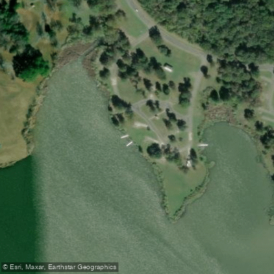
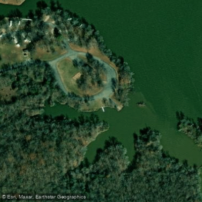
Learn how to get on Webbers Falls Reservoir. Uncover great paddling access points, boat ramps, and all the facilities you need for an unforgettable day on the water. Some locations shown may border or include private property. Always check property boundaries and applicable regulations before visiting. PaddleWays's Public & Private Land layer can help you plan your access with confidence.
Paddle smarter with real-time insights
Whether you're en route and conditions shift or you're looking for the best spot based on current flows, we enable you to make informed decisions on the fly.








Find Places to Paddle

Over 400,000 Places to Paddle
Every user gets free access to launch points, boat ramps, and public property parcels.


Water and weather conditions (10 day forecast)
See the best times to paddle Webbers Falls Reservoir and check the forecast before you go.
Arkansas River near Muskogee, OK
Paddling near Webbers Falls Reservoir

Arkansas River
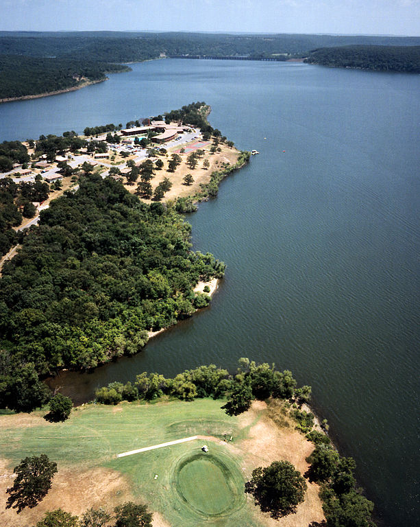
Fort Gibson Lake
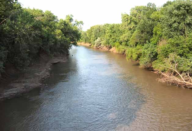
Neosho River
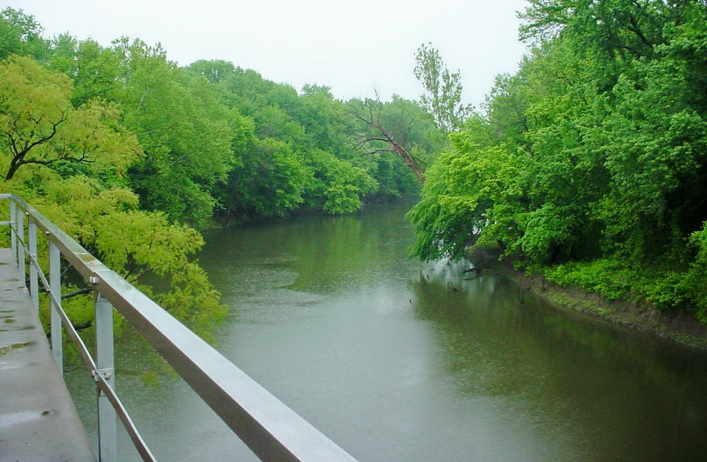
Verdigris River
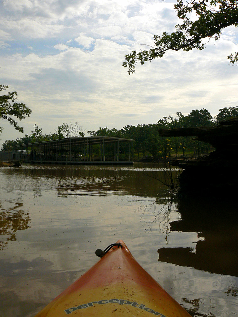
Eufaula Lake
Canadian River
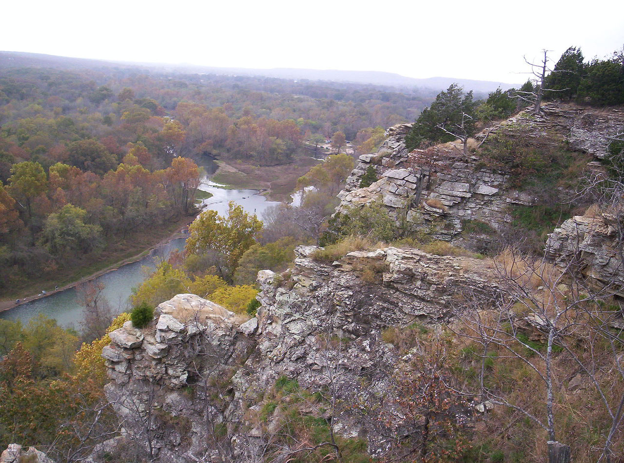
Illinois River
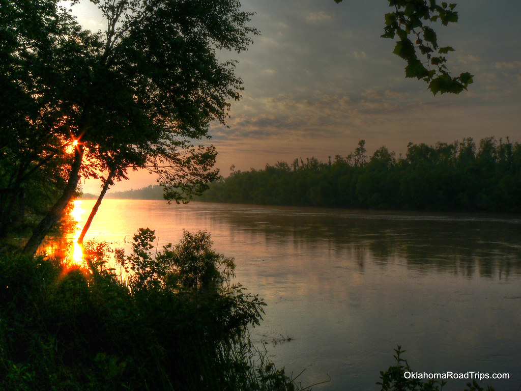
North Canadian River
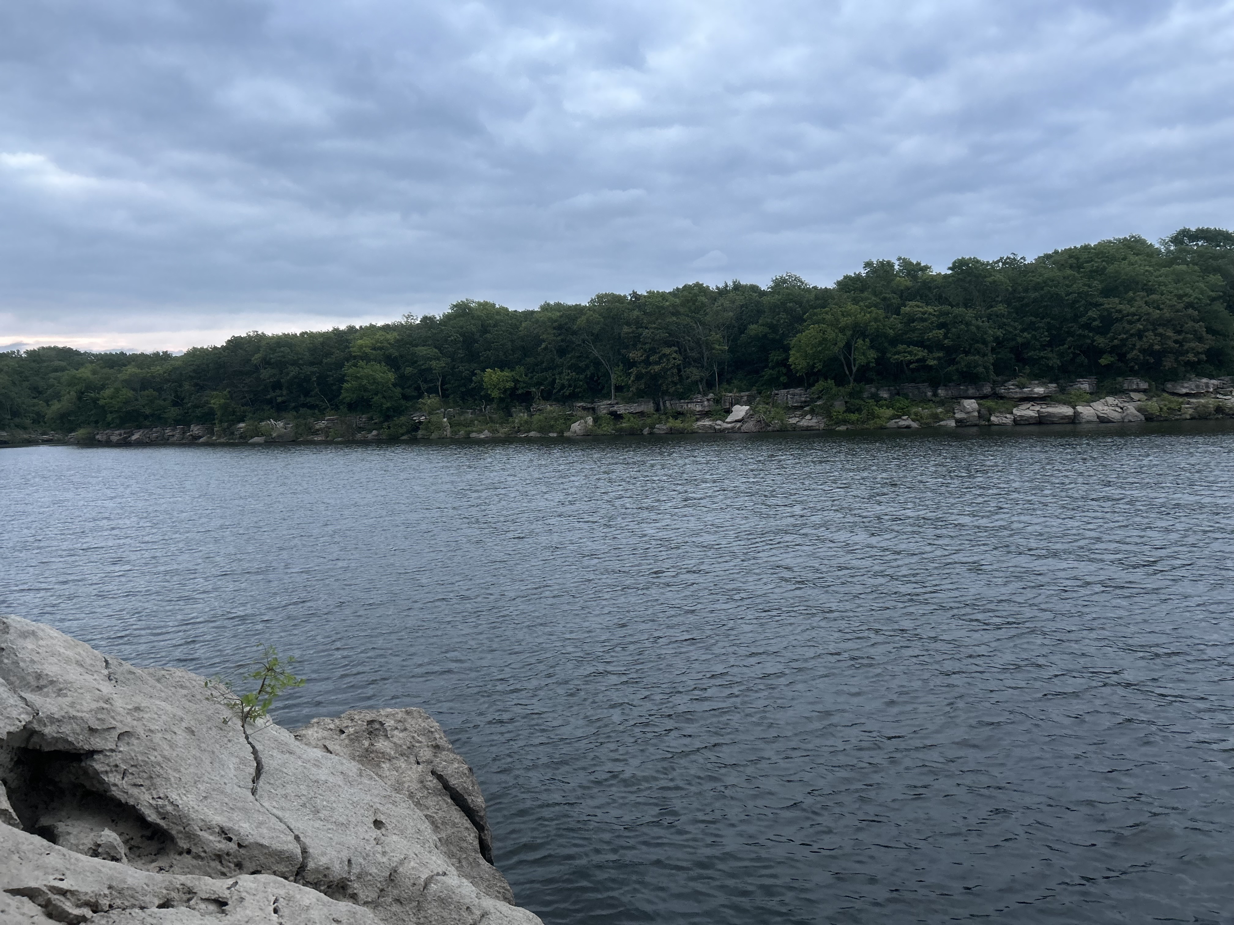
Oologah Lake
Explore Oklahoma waters
Top paddling waters
Popular Cities
Loading popular cities...
Explore near Webbers Falls Reservoir
Access points
- Webbers Falls Boat Ramp
- Webbers Falls Boat Ramp
- Arkansas River Boat Ramp
- Greenleaf Cove
- Spaniard Creek Campground Boat Ramp
- Brewers Bend Boat Ramp
- Webbers Falls Boat Ramp
- Three Forks Boat Ramp
- Webbers Falls Boat Ramp
- Webbers Falls Lake Access
- Webbers Falls Lake Access
- Little Green Leaf Creek Bridge
- All 56 spots
Nearby waters
More in Oklahoma

Smarter Paddling Starts in the App.
Paddleways gives you everything you need to plan smarter, paddle better, and own every trip from first launch to takeout.