Paddling in Great Basin National Park
- National Park
- Open 24 hours
- Lakes
- 7
- Rivers
- 21
- Access
- 0
- Boat Ramps
- 0
- Shops
- 0
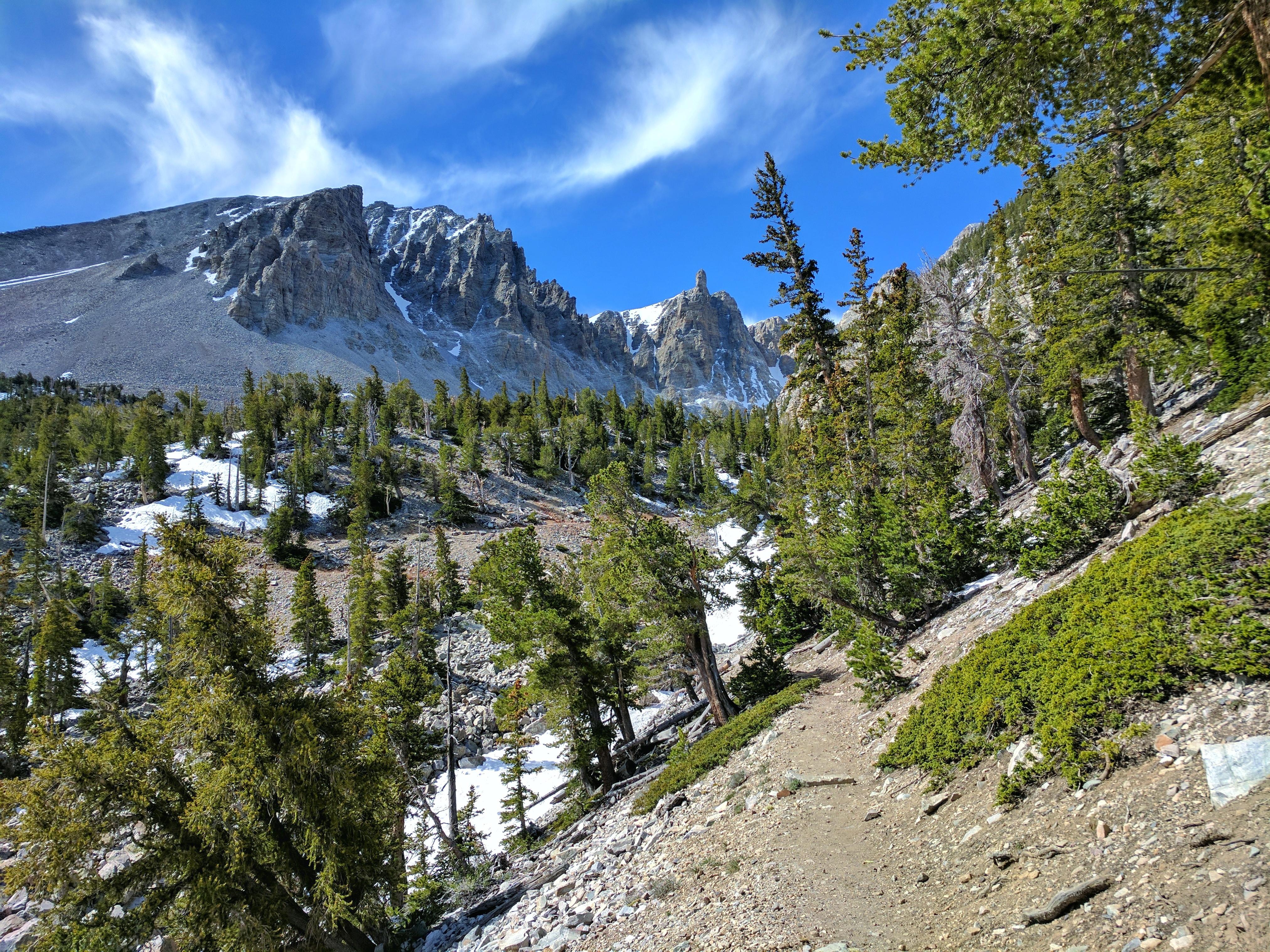
Great Basin National Park sits in the Snake Range of eastern Nevada, a high-desert mountain island rising sharply from the surrounding basin.
The water here is alpine and intimate — small subalpine lakes and mountain streams tucked into a landscape more often associated with bristlecone pines and cave formations than paddling. The park holds six subalpine lakes and ten streams.
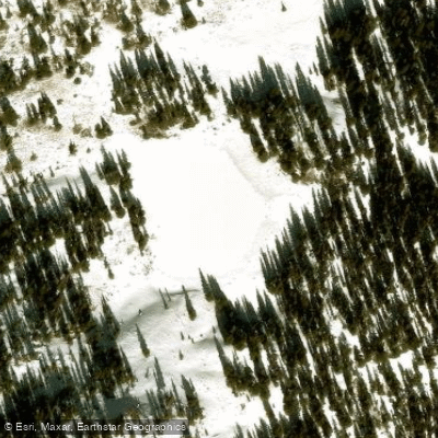
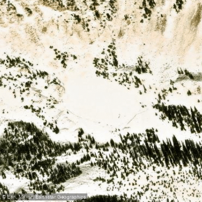
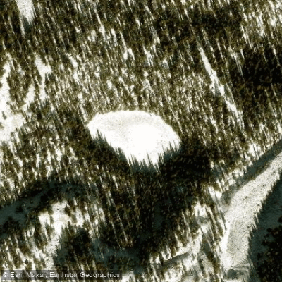
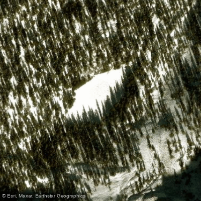
Of those, Teresa Lake and Stella Lake are the two named waters where paddling is realistic. Both are small and calm — flatwater in the truest sense, the kind where you sit quietly in the middle and listen.
Neither is a destination for distance or whitewater; they are places to float. Getting to either lake means hiking in with your boat. There are no rentals anywhere in the park, so you carry everything you need.
A compact inflatable or folding kayak makes the portage manageable, but in summer heat at elevation, even lightweight gear adds up fast. Check with rangers before you go — some waters may be closed, and conditions at altitude can shift quickly.
Backcountry permits are required for overnight camping near Baker and Johnson Lakes, and are available free at either visitor center with no quota.
For day use on the water, check in with the park directly for current access rules, as protected-area regulations can differ from what you'd encounter on public land outside the boundary.
The park runs to extremes seasonally — genuinely cold winters and hot summers — so timing matters. Come prepared for the elevation and whatever the season brings. Great Basin draws around 90,000 visitors a year, which means the solitude on these lakes is real.
You won't be jostling for put-in space. What you will find is quiet water in a remote range, far from anything, under some of the darkest skies in Nevada.
Top waters to paddle near Great Basin National Park
Water and weather conditions (10 day forecast)
See the best times to paddle Great Basin National Park and check the forecast before you go.
No forecast data available.
Park alerts & road status
Closures and conditions Great Basin National Park has posted, from the National Park Service.
Checking the park's alerts…
Hours & fees
When Great Basin National Park is open and what it costs to get in, from the National Park Service.
Hours
Open 24 hoursPark Grounds and Trails Check "Visitor Centers" tab for facility-specific hours
Entrance fees
No entrance fee is listed for this park.
Parking & getting around
Where to leave the car in Great Basin National Park. Lots fill early on busy days, so plan where you will park before you head for the water.
Baker Creek Trailhead Parking Lot
A small Parking lot at the Baker Creek Trailhead
Bristlecone Parking lot
Located at the top of the wheeler peak scenic drive, this parking lot is at the base on some of the most popular trails.
Great Basin Visitor Center
A Medium sized lot at the Great Basin Visitor Center.
Lehman Caves Visitor Center
A medium sized parking lot at the Lehman Caves Visitor Center
Snake Creek Parking Lot
A small parking lot at the end of the snake creek road at the base of 3 trailheads.
Strawberry Creek Parking Lot
A dirt small parking lot at the end of the Strawberry Creek road
Summit Parking Lot
A Parking lot located on the scenic drive, this parking lot is at the base of the wheeler summit hike.
Getting around
From the East or West: From U.S. Highway 6 & 50, turn south on Nevada State Highway 487 and travel 5 miles to Baker, NV. In Baker turn west on Highway 488 and travel 5 miles to the park. From the South (Utah): Travel north on Utah State Highway 21 through Milford, UT and Garrison, UT, Highway 487. Turn west on Highway 488 in Baker and travel 5 miles to the park. From the South (Nevada): Travel north on U.S. Highway 93. No public transportation is available to, or in, Great Basin National Park.
Directions on nps.govPaddle smarter with real-time insights
Whether you're en route and conditions shift or you're looking for the best spot based on current flows, we enable you to make informed decisions on the fly.







Paddling near Great Basin National Park
Loading...
Other parks in Nevada
Gateway towns
Where to base yourself for paddling in Great Basin National Park.
Explore Great Basin National Park
Top paddling waters
Popular Cities
Loading popular cities...

Smarter Paddling Starts in the App.
Paddleways gives you everything you need to plan smarter, paddle better, and own every trip from first launch to takeout.