Paddling in Nevada
- Lakes
- 622
- Rivers
- 2,623
- Access
- 217
- Boat Ramps
- 73
- Shops
- 9
Nevada paddles like two different states stitched to opposite ends of a desert. The north is an unlikely Great Basin whitewater scene built around Reno and the Sierra runoff feeding it; the south is canyon flatwater on the Colorado below Hoover Dam.
There's not much in between, and most paddlers don't pretend otherwise.
Reno is the anchor up north — its downtown literally split by the Truckee River Whitewater Park at Wingfield Island, eleven drop-pools of Class II–III running year-round and free, with Drop #5 below the island where the two channels rejoin worth a scout before you commit.
The Reno River Festival has been running since 2003 and pulls something like 40,000 people to the riverbank over Memorial Day weekend, which is also right in the snowmelt window when the upper Truckee canyon between Truckee and Reno fires up with Class III–IV — Truckee Falls, Bronco, Jaws, Staircase, all serious water best left to people who know what they're doing.
That window is short. April and May, sometimes into June if the snowpack cooperates, and then it's gone.
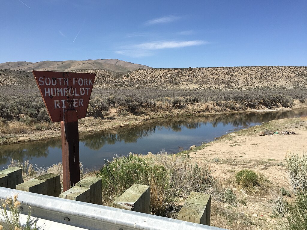
The East Fork Carson runs on the same snowmelt clock, dropping out of the Sierra at high elevation with a Class II float from Hangman's Bridge to Gardnerville and harder Class III–IV up in the Silver King Valley.
The catch is that ranchers have strung illegal barbed wire and built makeshift dams across the channel, and trip reports treat them as a deadly hazard — scout everything, and some boaters carry wire cutters.
Closer to Reno, the urban Truckee has its own gotchas: the Glendale Dam Diversion below the I-580 bridges, and an unmarked Class III near Wells Avenue. One Truckee River publishes the hazard map worth pulling up before you put on.
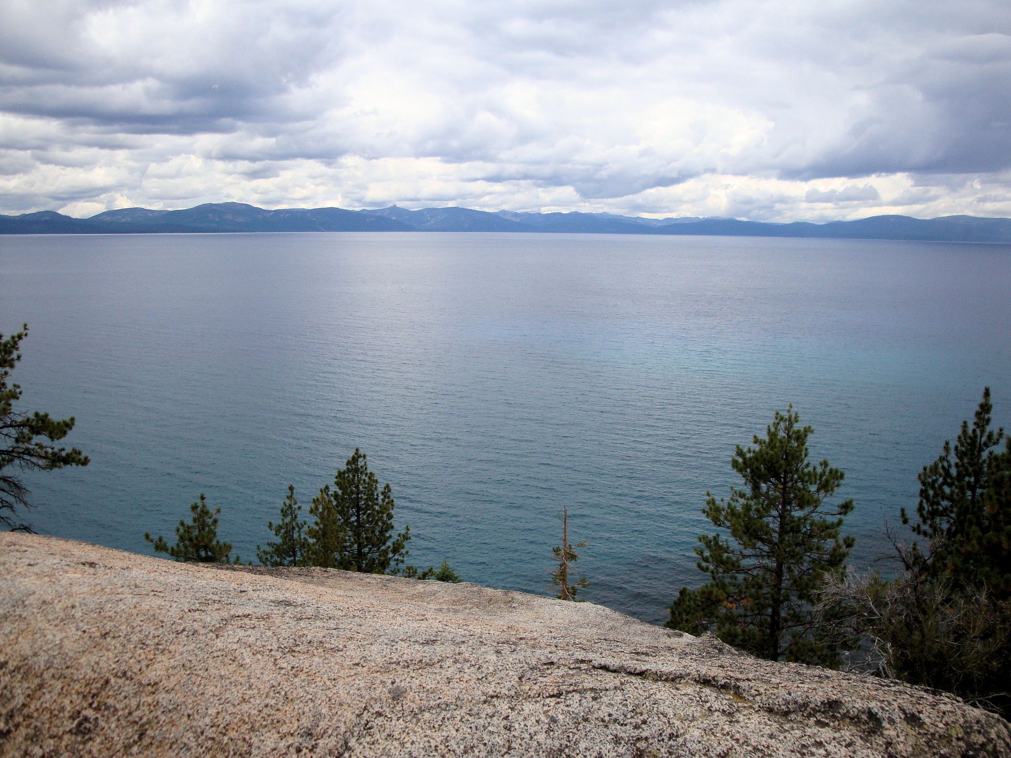
The Nevada shore of Lake Tahoe is the third northern piece, and a different sport entirely. Sand Harbor, Cave Rock, Crystal Bay — alpine flatwater with clarity down to seventy feet, part of the 72-mile Lake Tahoe Water Trail circumnavigation.
The east shore between Sand Harbor and Zephyr Cove runs 21 miles with no camping or lodging, the lake sits above 6,000 feet, the water is always cold, and the afternoon wind is the thing that gets people. Morning paddles. PFDs. Clean-drain-dry is state law.
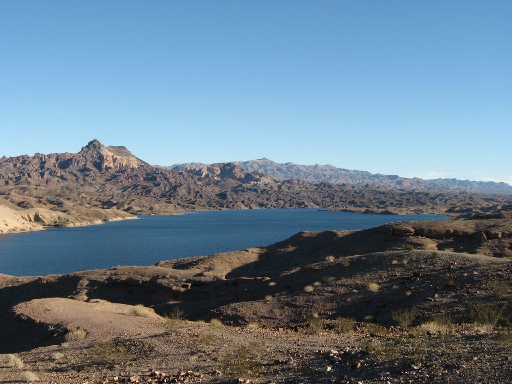
Then 450 miles south, the Black Canyon National Water Trail — 30 miles of Class I tailwater released from Hoover Dam at a constant 53°F, threading volcanic walls past Sauna Cave, the Gold Strike hot springs, and Emerald Cave.
Launching from the dam itself runs through an NPS-approved vendor and a narrated bus through the security zone; most self-guided trips put in at Willow Beach instead.
The dam's daily discharge swings water levels four to six vertical feet, so anyone camping ties boats high and pitches tents higher.
Outfitters out of Boulder City — Desert Adventures, Blazin' Paddles, Desert River Outfitters — keep the southern scene running year-round, with the shoulder seasons doing the real work for overnight trips.
Two poles, a lot of empty country between them, and a paddling identity that earns its place by being unmistakably itself at both ends.
Paddle smarter with real-time insights
Whether you're en route and conditions shift or you're looking for the best spot based on current flows, we enable you to make informed decisions on the fly.







Nevada licenses and regulations
National parks in Nevada
Explore Nevada waters
Top paddling waters
Popular Cities
Loading popular cities...

Smarter Paddling Starts in the App.
Paddleways gives you everything you need to plan smarter, paddle better, and own every trip from first launch to takeout.