Paddling in Middle Delaware National Scenic River
- National Wild & Scenic River
- Lakes
- 0
- Rivers
- 22
- Access
- 5
- Boat Ramps
- 3
- Shops
- 0
The Middle Delaware is a moving-water river trip, not a whitewater destination — and that distinction shapes everything about paddling here.
Running roughly 40 miles through the Delaware Water Gap National Recreation Area along the New Jersey–Pennsylvania border, it carries paddlers through a largely undeveloped corridor of forested ridgelines, rocky bluffs, and river islands within about 90 minutes of New York City.
The character of the water is consistent: long flatwater pools interrupted by brief, shallow riffles and a handful of Class I–II rapids.
The river reads well and forgives mistakes, which makes it a good place to develop river-reading skills — but the current does the work, and even experienced paddlers find the pace satisfying over a full day or a multi-day trip.
Caution is warranted above 8 feet on the gauge; below that, the river can be floated down to quite low levels.
The main access points that anchor trip planning run from north to south: Port Jervis (the upstream park boundary), Milford Beach, Dingmans Boat Launch, Bushkill Boat Launch, Smithfield Beach, and Kittatinny Point, where the river cuts through the Kittatinny Mountain range at the actual Delaware Water Gap.
Portland, PA lies just downstream. Authorized liveries operate on the river and include shuttle service; the Monroe County Transit Authority also runs a free shuttle for paddlers who bring their own boats.
Multi-day trips are well-supported by 62 primitive campsites distributed along the river corridor.
The park uses a zoned reservation system — five zones from the north boundary down to Kittatinny Point — and overnight river camping requires a permit reserved through Recreation. gov.
Paddlers choose their specific site within the reserved zone upon arrival, which preserves some spontaneity while guaranteeing a spot exists. One night per zone is the limit before moving on. This is a protected river, and it shows.
No commercial development lines the banks. The 40-mile run through the park is one of the longer stretches of undeveloped river corridor in the eastern United States, and the water quality reflects decades of protection.
Paddling it feels less like a day trip and more like a genuine river journey — even when you're only a few hours from the city.
Top waters to paddle near Middle Delaware National Scenic River

Delaware River
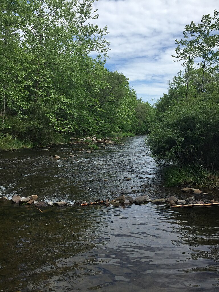
Brodhead Creek
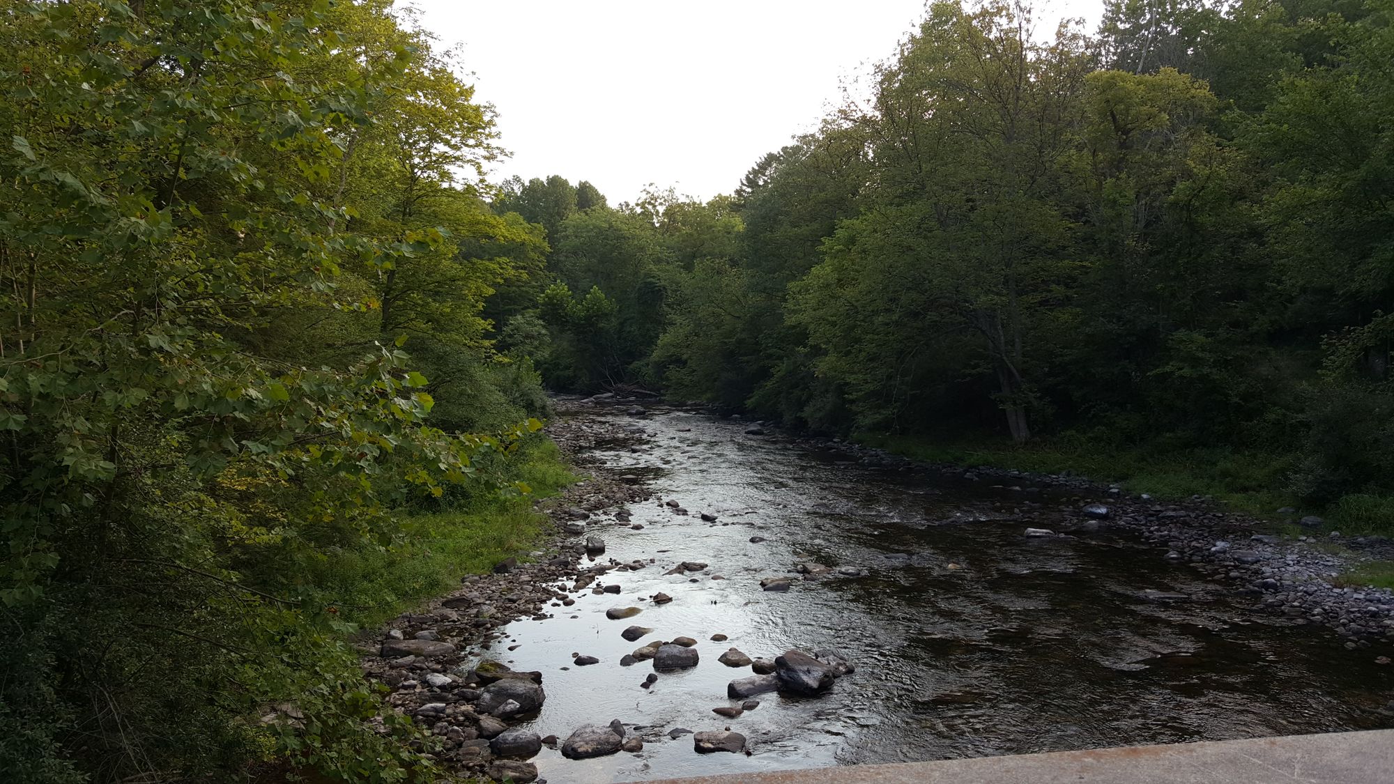
Flat Brook
Bush Kill
Cherry Creek
Raymondskill Creek
Dingmans Creek
Vancampens Brook
Shimers Brook
Sawkill Creek
Water and weather conditions (10 day forecast)
See the best times to paddle Middle Delaware National Scenic River and check the forecast before you go.
No forecast data available.
Paddle smarter with real-time insights
Whether you're en route and conditions shift or you're looking for the best spot based on current flows, we enable you to make informed decisions on the fly.







Paddling near Middle Delaware National Scenic River
Loading...
Other parks in Pennsylvania
Gateway towns
Where to base yourself for paddling in Middle Delaware National Scenic River.
Main gateway village with outfitters, river launches, lodging, and direct access to the southern end of the river corridor.
- PortlandPA
Southern takeout point for multi-day paddling trips through the Middle Delaware corridor.
Common put-in town at the northern end of the Middle Delaware section for canoe and kayak trips.
- BushkillPA
Sits near a named boat launch zone mid-corridor, serving paddlers camping along the river's primitive campsites.
Middle Delaware National Scenic River paddling rules
The park's own rules, on top of Pennsylvania licenses and regulations. Limits, fees and closures change, so check the park's page before you go.

Always Wear Your Life Jacket
The park requires every paddler and boater to wear a life jacket at all times on the water. Make it a habit before you launch.

Motorized Vessels Need State Registration
Any motorized vessel, gas or electric, regardless of length or horsepower, must carry a valid state registration from its primary state of use.

No Wake Near Swimming Areas
Motorized vessels may not create a wake within 500 feet upstream or downstream of the designated swimming areas at Smithfield/Coppermine Pool and Milford Beach pool.

No Personal Watercraft or Waterskiing
Personal watercraft and waterskiing are prohibited throughout the park. Plan accordingly before you arrive.

River Camping Requires a Permit
Overnight stays at the 62 primitive riverside campsites require a permit reserved through the park's zone system. Book your zone in advance at Recreation.gov.

Some Accesses Are Hand-Launch Only
Namanock Access in NJ and Eshback Access in PA are hand-launch only. No boat trailers or ramps are available at these put-ins.
Explore Middle Delaware National Scenic River
Top paddling waters
Popular Cities
Loading popular cities...

Smarter Paddling Starts in the App.
Paddleways gives you everything you need to plan smarter, paddle better, and own every trip from first launch to takeout.