Brodhead Creek
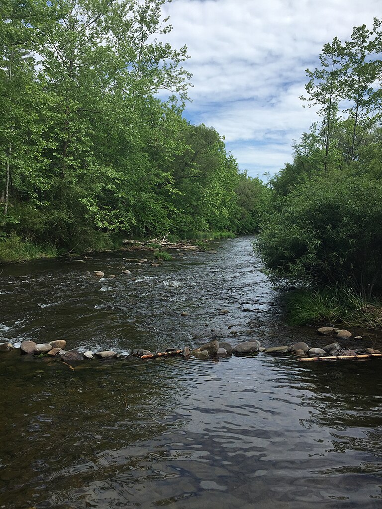
Brodhead Creek
- Boat Ramps
- 0
- Access Points
- 11
- Campsites
- 13
Brodhead Creek is a scenic and popular whitewater stream located in the Pocono Mountains of northeastern Pennsylvania. The creek originates near Canadensis and flows generally southward for approximately 22 miles before joining the Delaware River near Delaware Water Gap. Its primary watershed is the Delaware River Basin. The creek offers paddlers a variety of experiences, from calm flatwater sections to challenging whitewater rapids. The most renowned section is the Miracle Mile, a Class III+ stretch popular among experienced kayakers. The full length of Brodhead Creek ranges from Class I to III rapids, with the 21.2-mile section from Canadensis to the mouth being a classic Pennsylvania whitewater run.
Paddling difficulty varies by section, with the upper reaches being more technical and suitable for intermediate to advanced paddlers. The lower sections are generally milder, appropriate for beginners with some moving water experience. Water levels fluctuate seasonally, with spring snowmelt and rainfall providing the most reliable flows. Late fall can also offer good paddling conditions.
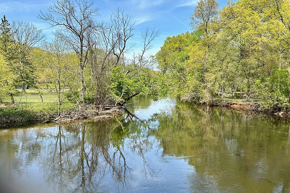
The creek flows through a lush, forested landscape typical of the Poconos. Wildlife sightings may include deer, black bears, and various bird species. Japanese Knotweed, an invasive plant species, is prevalent along some sections of the creek. Key landmarks include the ForEvergreen Nature Preserve near Analomink, which provides good creek access. The Brodhead Creek Heritage Center, located at 1539 Cherry Lane Road, offers educational resources about the watershed's history and ecology.
Popular access points include Canadensis (near PA Route 390) for the upper section, Cherry Lane Road near Analomink for the middle section, and various points downstream towards the Delaware River confluence. Nearby towns include Stroudsburg and East Stroudsburg.
Historically, Brodhead Creek has been renowned for its trout fishing, attracting anglers from the late 19th century through the mid-20th century. Today, it remains a significant recreational resource for both fishing and paddling enthusiasts.
Safety considerations include variable water levels and some technical rapids, particularly in the Miracle Mile section. Paddlers should check current flow rates and be prepared for sudden changes in water conditions. Local regulations may apply, particularly regarding fishing and conservation areas.
For those seeking a multi-day adventure, the full 21.2-mile run from Canadensis to the mouth can be split into an overnight trip, allowing paddlers to fully immerse themselves in the Pocono wilderness experience.
Water access, boat ramps & amenities
Learn how to get on Brodhead Creek. Uncover great paddling access points, boat ramps, and all the facilities you need for an unforgettable day on the water. Some locations shown may border or include private property. Always check property boundaries and applicable regulations before visiting. PaddleWays's Public & Private Land layer can help you plan your access with confidence.
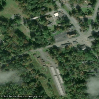
Canadensis Access
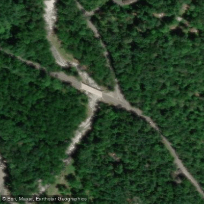
Miracle Mile Access
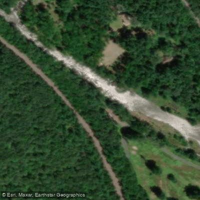
Paradise Trail Access
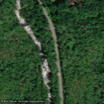
Paradise Price Preserve Access
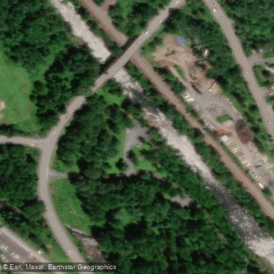
Pinebrook Park North Access
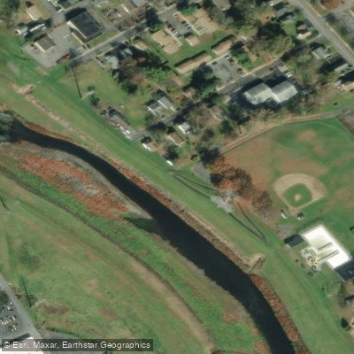
Dansbury Community Park Access
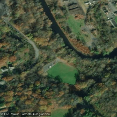
Glen Park Access
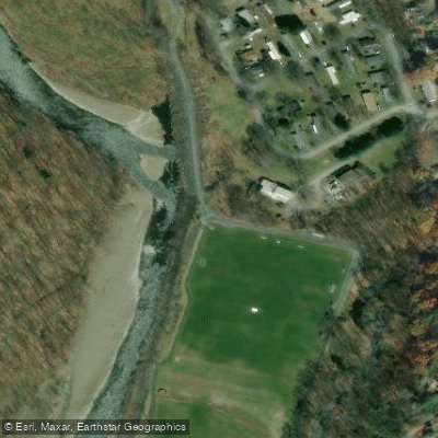
Levee Loop Trail Access
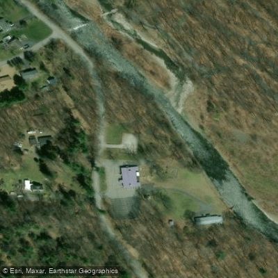
Stokes Mill Park Access
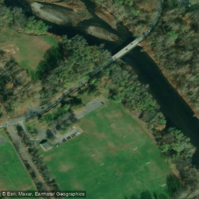
Minisink Park Access
Paddle smarter with real-time insights
Whether you're en route and conditions shift or you're looking for the best spot based on current flows, we enable you to make informed decisions on the fly.








Find Places to Paddle

Over 400,000 Places to Paddle
Every user gets free access to launch points, boat ramps, and public property parcels.


Water and weather conditions (10 day forecast)
See the best times to paddle Brodhead Creek and check the forecast before you go.
Brodhead Creek near Analomink, PA
All Flow Stations
Paddling near Brodhead Creek

Delaware River
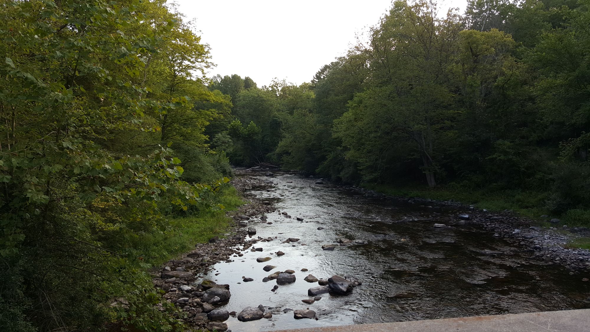
Flat Brook
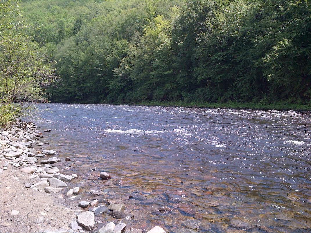
Lehigh River
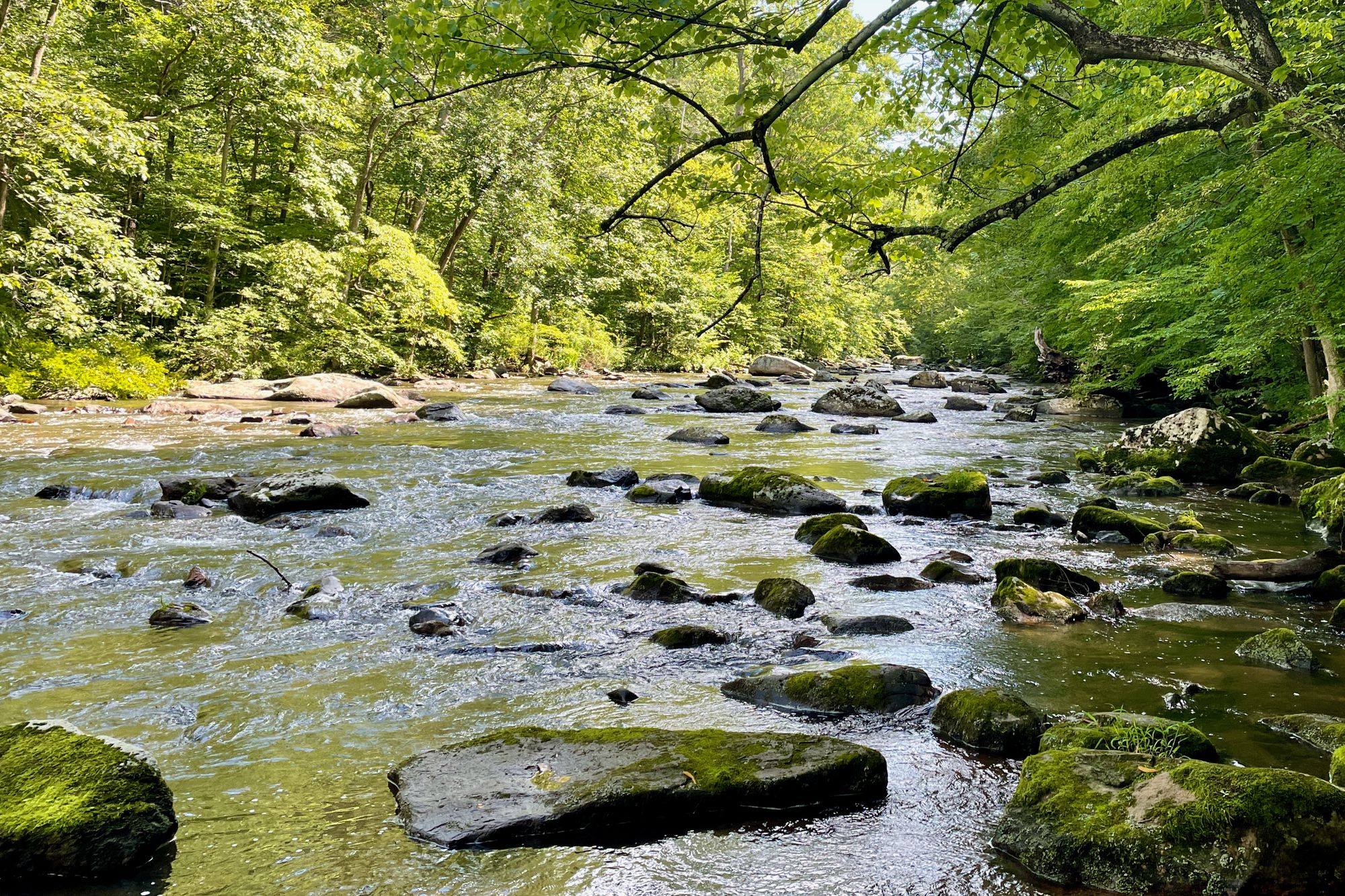
South Branch Raritan River

Susquehanna River

Raritan River
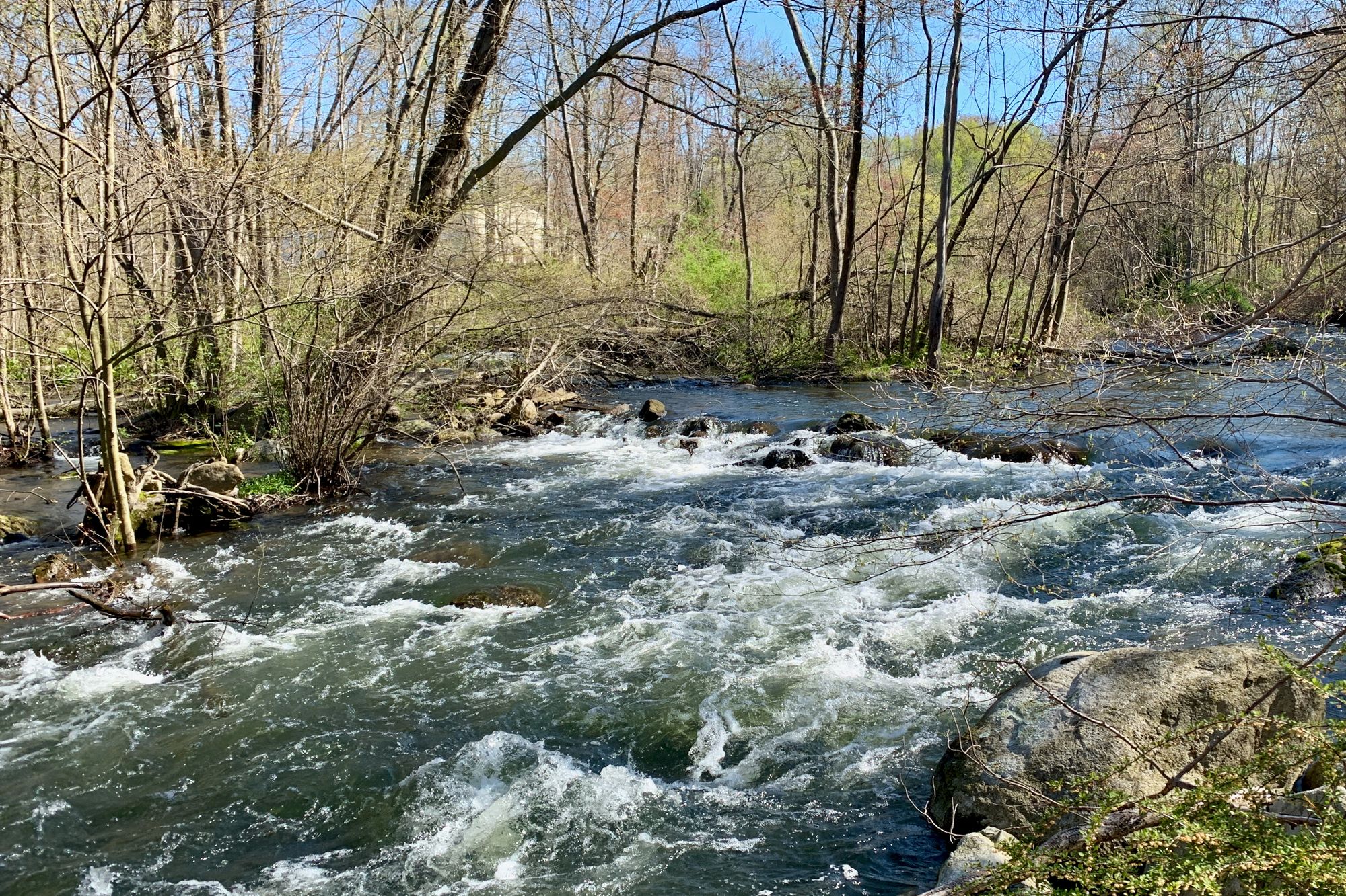
Musconetcong River
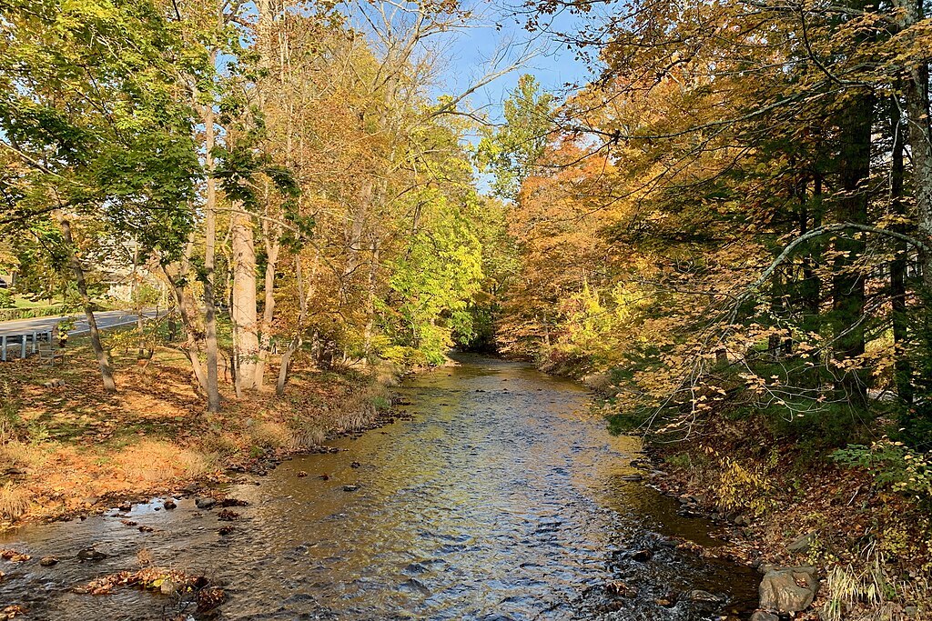
Lamington River
Rockaway River
Explore Pennsylvania waters
Top paddling waters
Popular Cities
Loading popular cities...
Explore near Brodhead Creek
Access points
Nearby waters
More in Pennsylvania

Smarter Paddling Starts in the App.
Paddleways gives you everything you need to plan smarter, paddle better, and own every trip from first launch to takeout.