Paddling in Delaware Water Gap National Recreation Area
- National Recreation Area
- Open 24 hours
- Lakes
- 17
- Rivers
- 39
- Access
- 21
- Boat Ramps
- 9
- Shops
- 0
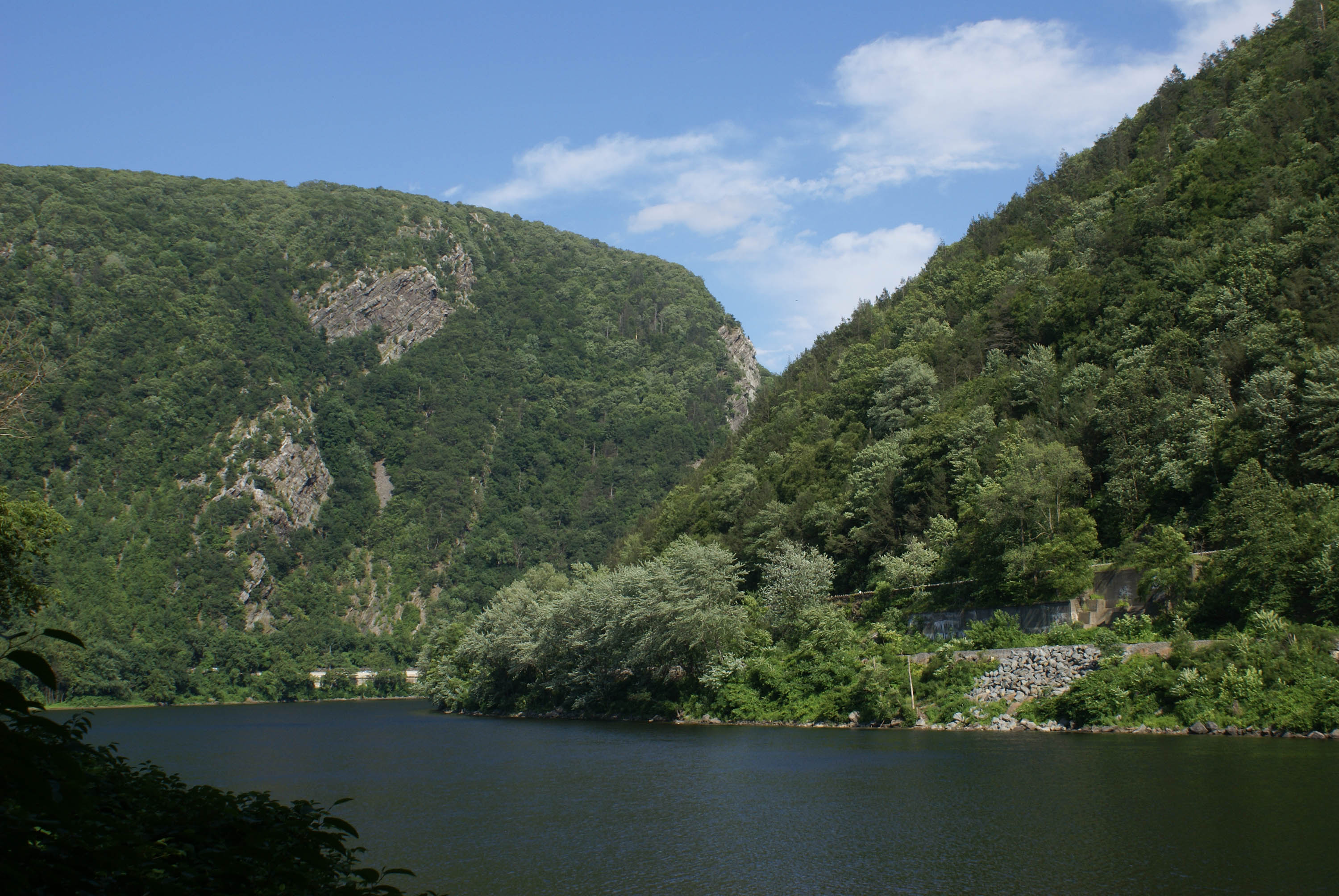
The Delaware Water Gap National Recreation Area protects roughly 40 miles of the Middle Delaware River as it cuts between New Jersey and Pennsylvania, passing through the gap where the river breaks through Kittatinny Ridge.
The water here is fundamentally a moving flatwater corridor — wide, island-braided, and readable — with a short stretch of Class I–II rapids where the river squeezes through the gap itself.
It is one of the more accessible multi-day river trips in the Northeast, close enough to New York City that it draws everyone from first-time canoeists to paddlers looking for a quiet overnight float.
The main water is the Delaware River, and the 40-mile park corridor runs roughly from Milford, PA south to the gap at Kittatinny Point.
Named islands — Minisink, Namanock, Shapnack, Bucks Bar, Tocks, Poxono, Depew, Sambo — mark the miles and give the river its character through the Minisink Valley.
The current is gentle through most of this stretch, with pools forming around the islands and Class I–II water appearing as the river approaches the gap.
The section from Bushkill Access to Smithfield Beach runs about 10 miles and requires some prior experience; the Smithfield Beach to Kittatinny Point run is 6 miles and is the most-traveled stretch in the park.
Below Kittatinny Point, the 4-mile run to Portland, PA moves through the gap's rapids and is raft-only through the outfitters.
Access points with boat launches include Milford Beach, Dingmans Access, Bushkill Access, Poxono, Smithfield Beach, Kittatinny Point, Eshback, and Worthington State Forest.
Several carry expanded amenity fees for vehicle parking and launching — check the park's current fee schedule before you go. The Monroe County Transit Authority runs a free shuttle for paddlers who bring their own boats.
Liveries operating under NPS commercial use permits — including Adventure Sports in Marshalls Creek and Chamberlain Canoes in Minisink Hills — provide rentals, shuttles, and river orientation.
River camping is permitted at designated NPS sites on many of the islands, but only for boaters traveling point-to-point when the distance between accesses is too great for a single day. One night per site is the limit.
The gauge at Montague, NJ is the reference point for current conditions; the NPS posts updates there. Paddlers should treat 8 feet as a high-water threshold requiring serious caution. Personal watercraft and waterskiing are prohibited throughout the park.
The Delaware through this corridor doesn't ask much of you technically — but it rewards patience.
The islands slow you down in the best way, and the gap itself, where the ridge closes in and the current picks up, is a proper finish to a river that has been quietly building toward it for miles.
Top waters to paddle near Delaware Water Gap National Recreation Area

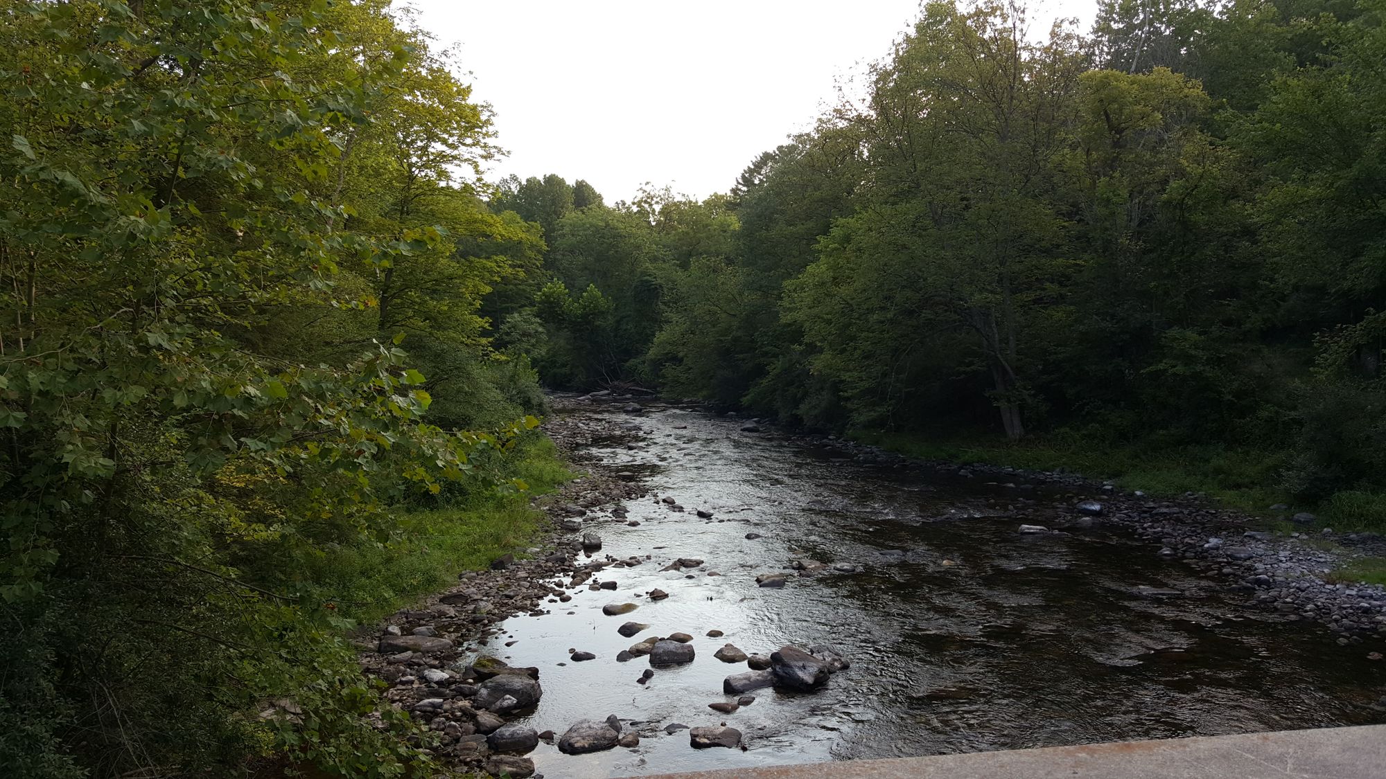
Water and weather conditions (10 day forecast)
See the best times to paddle Delaware Water Gap National Recreation Area and check the forecast before you go.
No forecast data available.
Park alerts & road status
Closures and conditions Delaware Water Gap National Recreation Area has posted, from the National Park Service.
Checking the park's alerts…
Hours & fees
When Delaware Water Gap National Recreation Area is open and what it costs to get in, from the National Park Service.
Hours
Open 24 hoursPark roads are open 24-hours a day. Most day-use areas within the park are open sunrise to sunset (such as trailhead parking lots, Millbrook Village, and all picnic areas).
Entrance fees
- Entrance - Private Vehicle$10
- Entrance fee for beaches and boat launches. Fee is good for one vehicle and it's passengers (up to 7 people).
Parking & getting around
Where to leave the car in Delaware Water Gap National Recreation Area. Lots fill early on busy days, so plan where you will park before you head for the water.
Kittatinny Point Main Lot
This parking lot sits along the eastbound lane of interstate route 80 in New Jersey and offers close proximity to the Delaware River, the Appalachian Trail, and beautiful Mount Tammany with its breathtaking views of the river below and Mount Minsi on the opposite shore. There is no grilling allowed at this location, but picnicking is permitted. The nearest area to grill is Turtle Beach located approximately 7 miles north on Old Mine Road. Note: Arrive early as this lot fills by 9:30 am on most weekends
Accessibility: This parking lot has wheelchair access to sidewalks and a ramp to the accessible restroom located midway through the lot. From the accessible picnic area, visitors will have views of the Delaware River and Mount Tammany. The soundscape of this area is overwhelmed by the sounds of Interstate route 80 immediately adjacent to the parking area. The soundscape improves greatly as visitors travel into the park along Old Mine Road. Standard accessible parking spaces are located midway through the parking lot near the restrooms three additional long accessible parking spaces near the visitor center building on the north end of the lot.
Getting around
Delaware Water Gap National Recreation Area is a long, narrow park that sits between two major interstates, I-80 at the south and I-84 at the north. US 209 is the main north/south road through the park on the Pennsylvania side and Old Mine Road is the main north/south road though the park on the New Jersey side.
Directions on nps.govPaddle smarter with real-time insights
Whether you're en route and conditions shift or you're looking for the best spot based on current flows, we enable you to make informed decisions on the fly.







Paddling near Delaware Water Gap National Recreation Area
Loading...
Other parks in New Jersey
Gateway towns
Where to base yourself for paddling in Delaware Water Gap National Recreation Area.
The borough sits at the park's southern PA entrance with inns, outfitters, and river access for hiking and paddling.
Largest nearby town on the PA side with the widest range of lodging, dining, and gear shops serving park visitors.
Adjacent to East Stroudsburg, it offers additional hotels, restaurants, and services for visitors approaching from I-80.
Small community near the Dingmans Falls Visitor Center and river access points along the park's mid-section.
Delaware Water Gap National Recreation Area paddling rules
The park's own rules, on top of New Jersey licenses and regulations. Limits, fees and closures change, so check the park's page before you go.

Always Wear Your Life Jacket
Children 12 and under must wear a Coast Guard-approved life jacket at all times on the river. All boaters on vessels under 16 feet, canoes, and kayaks must wear one from November 1 through April 30. Every paddler must have a Coast Guard-approved PFD onboard and accessible year-round.

High Water Life Jacket Rule
When the Montague river gauge hits 8 feet or higher, all people in and on the water must wear a Coast Guard-approved life jacket. River access points close if the gauge reaches 15 feet or higher. Check current conditions before you launch.

No Personal Watercraft or Waterskiing
Personal watercraft and waterskiing are prohibited throughout the park. Motorized vessels must stay within posted speed limits and may not create a wake near designated swimming areas or canoe channels.

Boat Launch Fees Apply
Several launch sites charge an expanded amenity fee per vehicle. Check the park fees page for which ramps require payment and what payment methods are accepted before you arrive.

Use Authorized Liveries Only
Commercial outfitters operating on the river must hold a park commercial use permit. Only book with liveries that appear on the park's authorized list to ensure your trip is permitted.
Explore Delaware Water Gap National Recreation Area
Top paddling waters
Popular Cities
Loading popular cities...

Smarter Paddling Starts in the App.
Paddleways gives you everything you need to plan smarter, paddle better, and own every trip from first launch to takeout.