Paddling in Mount Rainier National Park
- National Park
- Open 24 hours
- Lakes
- 51
- Rivers
- 94
- Access
- 0
- Boat Ramps
- 0
- Shops
- 0
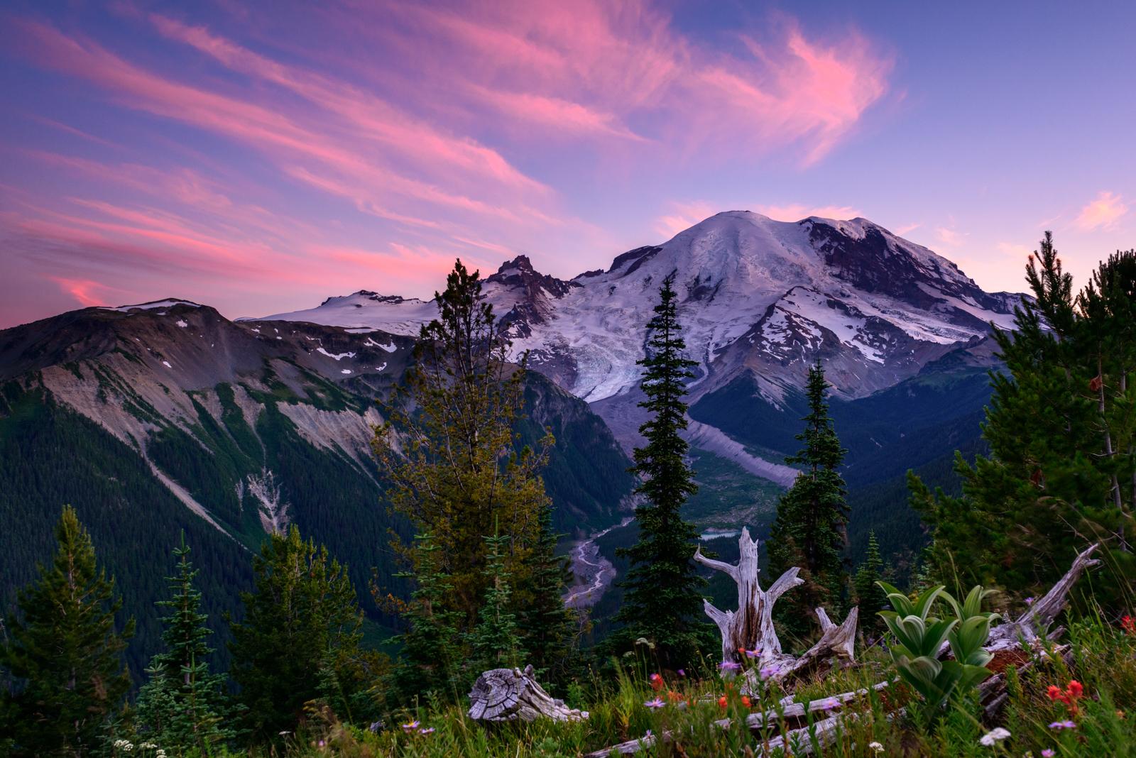
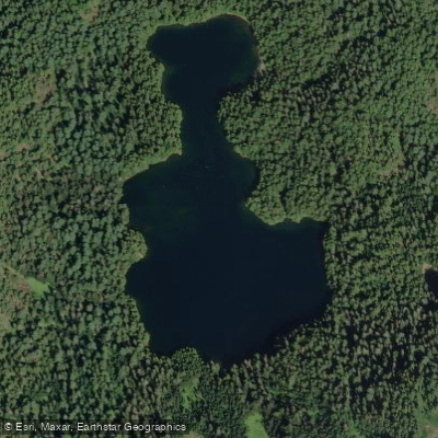
Mount Rainier's water is glacial in origin — rivers fed by snowmelt and ice, and lakes scattered across subalpine terrain at elevation. The park sits on an active stratovolcano, and nearly all of it is federally designated wilderness.
That wilderness status shapes paddling here more than anything else: no motors, limited road access, and a landscape that demands you carry what you bring. Mowich Lake is the practical center of paddling inside the park.
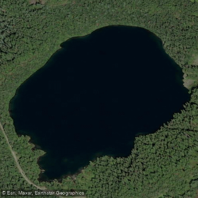
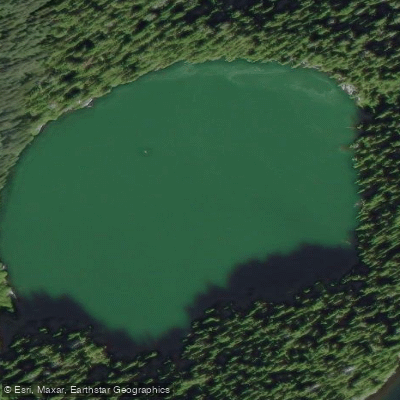
It's the largest lake in the park and one of the few you can reach by vehicle — via Highway 165 and Mowich Lake Road, a rough dirt road that rewards clearance and patience.
Once there, you'll find crystal-clear water and views of Rainier from the lake's western edge. Non-motorized watercraft are permitted, and a rustic lakeside campground makes an overnight stay possible.
Note that as of recent reports, the SR165 Fairfax Bridge closure has cut off access via that route — check current conditions with the park before you go. Beyond Mowich, the park's other lakes are open to paddle sports but require you to carry your craft in.
Tipsoo Lake, Shadow Lake, Reflection Lake, Frozen Lake, and Ghost Lake are all closed year-round — the first three to protect riparian vegetation, the last two as water supplies.
Every other lake is technically open year-round, though winter access is a different matter: roads close seasonally, and the lakes themselves are often frozen and snow-covered.
Because the watercraft used for paddle sports are typically under 10 feet and human-powered, they don't require a Washington state boating license and are permitted in wilderness areas.
Overnight stays anywhere in the backcountry — including trips that combine paddling with camping — require a wilderness permit year-round, issued through the park. Check with the park directly for current permit availability and fees.
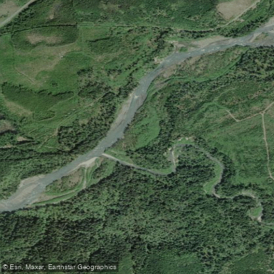
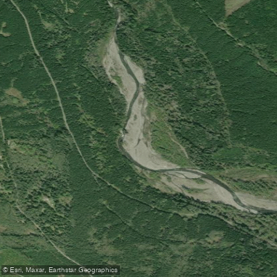
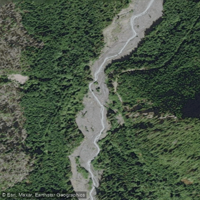
The Nisqually River runs just outside the park boundary and is a different kind of water entirely — a Class II run with Class III moments, glacially cold, braided in places, and complicated by logs.
The 11-mile stretch from Skate Creek Road to Highway 7 near Elbe is the reference run for intermediate and expert paddlers. Open canoes aren't the right tool here. Paddling at Rainier is not casual or convenient.
The access challenges are real, and they're also the point — what keeps these lakes quiet is exactly what makes reaching them feel like something.
Water and weather conditions (10 day forecast)
See the best times to paddle Mount Rainier National Park and check the forecast before you go.
No forecast data available.
Park alerts & road status
Closures and conditions Mount Rainier National Park has posted, from the National Park Service.
Checking the park's alerts…
Hours & fees
When Mount Rainier National Park is open and what it costs to get in, from the National Park Service.
Hours
Open 24 hoursMount Rainier National Park is open all year. Visitation peaks in July and August with warmer weather and blooming wildflowers. In spring and autumn, weather determines the availability of facilities and roads. During winter months a number of roads, facilities, and entrances close for the season.
Entrance fees
- Entrance - Private Vehicle$30
- Grants unlimited entry for one vehicle and passengers for seven consecutive days. Vehicle must be private, noncommercial, and with a seating capacity of 15 or less.
- Entrance - Per Person$15
- Walk-up or single bicycle fee. Grants unlimited entry for seven consecutive days.
- Entrance - Motorcycle$25
- Valid for 7 days. Admits up to 2 private, non-commercial motorcycles with up to 4 total passengers.
- Commercial Entrance - Mini-bus$100
- These fees are charged only to commercial organizations, such as tour companies. This fee is determined by the seating capacity of the vehicle.
- Commercial Entrance - Motor Coach$200
- These fees are charged only to commercial organizations, such as tour companies. This fee is determined by the seating capacity of the vehicle. NOTE: There are no current road restrictions for unmodified motor coaches of the standard length in the park. However, be aware that roads in the park are steep, narrow, and winding. In particular, it is recommended that RVs and vehicles with trailers longer than 25 feet LOA not travel up the Sunrise Road beyond the White River Campground intersection.
Parking & getting around
Where to leave the car in Mount Rainier National Park. Lots fill early on busy days, so plan where you will park before you head for the water.
Paradise Parking (Upper Lot)
ClosedExpect very limited parking space during construction from Tuesday, July 22 to Saturday, August 9. Parking affected includes areas near Henry M. Jackson Visitor Center (JVC), Paradise Wilderness Information Center, and the Paradise Inn.
Getting around
Mount Rainier National Park is located in west-central Washington state. Several major cities in Washington- Seattle, Tacoma, and Yakima- and Portland, Oregon, are within 200 miles of the park. For GPS to Nisqually Entrance use: 39000 State Route 706 E, Ashford, WA 98304.
Directions on nps.govPaddle smarter with real-time insights
Whether you're en route and conditions shift or you're looking for the best spot based on current flows, we enable you to make informed decisions on the fly.







Paddling near Mount Rainier National Park
Loading...
Gateway towns
Where to base yourself for paddling in Mount Rainier National Park.
- AshfordWA
Closest town to the Nisqually Entrance; your main base for Paradise, Longmire, and wildflower meadows, with cabins, inns, and outfitters.
- PackwoodWA
Near the Stevens Canyon Entrance on the south side, offering access to both Paradise and Sunrise and a quieter lodging scene.
- EnumclawWA
Gateway town on the north side near the White River Entrance, the route to Sunrise and Crystal Mountain ski area.
- ElbeWA
Small community just west of Ashford on the road to the Nisqually Entrance, with lodging options for Nisqually-side visits.
Sits along the highway leading to the White River Entrance, serving visitors headed to Sunrise and the northeast corner of the park.
Mount Rainier National Park paddling rules
The park's own rules, on top of Washington licenses and regulations. Limits, fees and closures change, so check the park's page before you go.

No State Fishing License Required
You do not need a Washington State fishing license to fish here. However, a Washington State catch record card is required if you fish for salmon or steelhead. Pick up the park's Fish Regulations Pamphlet for full details.

Lead Tackle Is Prohibited
Lead fishing tackle is banned parkwide. Use non-lead alternatives for all gear. Check the park's fishing regulations for the full list of legal tackle.

Catch and Release Native Fish
All native fish species must be released. Retention is only permitted for kokanee and brook trout. Check the park's regulations pamphlet for current area-specific rules.

Some Lakes Are Closed
Tipsoo, Shadow, and Reflection Lakes are closed year-round to protect riparian vegetation. Frozen Lake and Ghost Lake are also closed year-round to protect water supplies. All other lakes are open.

Paddle Craft Need No License
Human-powered watercraft under 10 feet do not require a state boating license and are permitted in the park's wilderness areas. Motorized vessels are not permitted in designated wilderness.
Explore Mount Rainier National Park
Top paddling waters
Popular Cities
Loading popular cities...

Smarter Paddling Starts in the App.
Paddleways gives you everything you need to plan smarter, paddle better, and own every trip from first launch to takeout.