Paddling in Shenandoah National Park
- National Park
- Open 24 hours

- Lakes
- 0
- Rivers
- 117
- Access
- 3
- Boat Ramps
- 0
- Shops
- 0
Shenandoah National Park runs along the Blue Ridge in western Virginia, and the water that defines paddling here drains off those ridges into the Shenandoah River system below.
The park itself is ridge-and-forest terrain — Skyline Drive country — and the rivers that matter to paddlers run along its flanks rather than through its interior. That distinction shapes everything about how you plan a trip here.
The South Fork of the Shenandoah is the anchor.
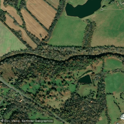
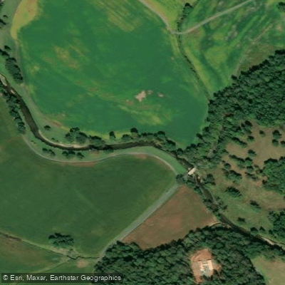
It flows along the western edge of the park between the Blue Ridge and Massanutten Mountain, carrying Class I–II water through a valley that looks up at park ridgelines on one side and George Washington National Forest on the other.
The character is moving flatwater with riffles and small rapids — readable, forgiving, and well-suited to canoes, kayaks, rafts, and SUPs.
The South Fork has paddle-in campsites and roughly 5 miles of park shoreline, with multiple public access points running from the Inskeep Boat Ramp at Bixler Bridge down to the Front Royal Boat Ramp.
Experienced paddlers can string together multi-day trips using those campsites; beginners without gear will find outfitters just outside the park boundary ready to put them on the water.
At the northern end, the Shenandoah's final miles drop into the Potomac at Harpers Ferry, where the river picks up gradient and attitude.
That stretch runs through Maryland, Virginia, and West Virginia, with Class II–III rapids as the river cuts through the Blue Ridge — a different proposition than the mellow South Fork miles upstream.
The park's backcountry camping permit system applies to overnight trips, including river camps. Permits are required year-round and must be purchased through Recreation. gov.
Campsites must be at least 10 yards from any stream or water source — worth knowing when you're scouting a spot on the bank after a long day's paddle. Check the park directly for current permit requirements and any closures before you go.
The South Fork runs best in spring when snowmelt and rain keep levels honest. Summer can drop flows low enough to affect trip selection; shorter routes become the practical choice when the gauge falls.
The surrounding outfitter season generally runs from mid-March through October, which tracks well with when the river is worth being on.
The Blue Ridge framing this water isn't backdrop — it's the reason the river runs the way it does, and the reason the access points, the camping rules, and the seasonal rhythms matter as much as the paddling itself.
Water and weather conditions (10 day forecast)
See the best times to paddle Shenandoah National Park and check the forecast before you go.
No forecast data available.
Park alerts & road status
Closures and conditions Shenandoah National Park has posted, from the National Park Service.
Checking the park's alerts…
Hours & fees
When Shenandoah National Park is open and what it costs to get in, from the National Park Service.
Hours
Open 24 hoursShenandoah National Park is always open. However, portions of Skyline Drive, the only public road through the Park, are periodically closed during inclement weather. Visitors can still enter the Park on foot to hike, even when the Skyline Drive is closed. Campgrounds, services, and facilities have separate hours; please see descriptions of those facilities elsewhere on our website.
Entrance fees
- Entrance - Private Vehicle$30
- Unlimited entry for one vehicle and all passengers for seven consecutive days, beginning on the day of purchase. Admits the pass holder and occupants of a single, private non-commercial vehicle.
- Entrance - Motorcycle$25
- Valid for 7 days. Admits up to 2 private, non-commercial motorcycles with up to 4 total passengers.
- Entrance - Per Person$15
- Entry for walk-up or bicycling visitors, when 16 years of age or older (children under 16 are admitted for free). Includes entering the Park by all means other than a private, non-commercial vehicle. A family traveling together shall pay no more than the vehicle fee.
- Commercial Entrance - Sedan$25
- The total cost is calculated: $25 + $10 per passenger.
- Commercial Entrance - Per Person$10
- This fee is for commercial use between 1-6 passengers (sedan). The total cost is calculated: $25 for the vehicle + $10 per passenger.
Paddle smarter with real-time insights
Whether you're en route and conditions shift or you're looking for the best spot based on current flows, we enable you to make informed decisions on the fly.







Paddling near Shenandoah National Park
Loading...
Other parks in Virginia
Gateway towns
Where to base yourself for paddling in Shenandoah National Park.
Sits right at Skyline Drive's north entrance (Mile 0) with hotels, restaurants, breweries, and river outfitters on Main Street.
- LurayVA
Closest town to the Thornton Gap entrance with outfitters, lodging, and easy access to the park's central district trails.
Gateway to the south entrance at Rockfish Gap, just minutes from Skyline Drive's Mile 105 via I-64.
Quiet base on the east side of Thornton Gap with charming shops and restaurants, popular for the central district.
- ElktonVA
Small, low-traffic town near the Swift Run Gap entrance, good for visitors focused on the park's middle section.
Explore Shenandoah National Park
Top paddling waters
Popular Cities
Loading popular cities...

Smarter Paddling Starts in the App.
Paddleways gives you everything you need to plan smarter, paddle better, and own every trip from first launch to takeout.