Rapidan River
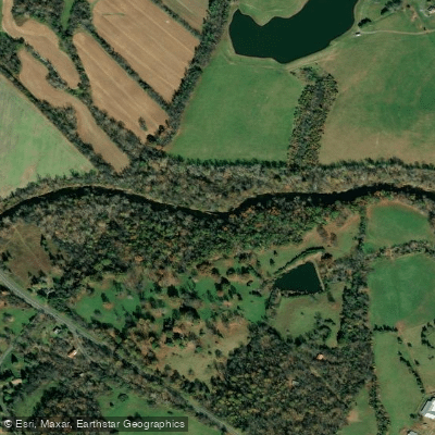
Rapidan River
- Boat Ramps
- 2
- Access Points
- 5
- Campsites
- 4
The Rapidan River is a scenic and historically significant waterway in central Virginia. Originating on the eastern slopes of the Blue Ridge Mountains in Shenandoah National Park, it flows approximately 88 miles eastward through Greene, Madison, Orange, and Culpeper counties before joining the Rappahannock River. The South River is its primary tributary, merging with the Rapidan near the town of Rapidan.
The Rapidan offers diverse paddling opportunities, from tranquil flatwater sections to challenging whitewater runs. The upper reaches within Shenandoah National Park feature pristine native brook trout habitat and are popular for fly fishing. As the river descends from the mountains, it transitions into a mix of Class I-III rapids interspersed with calm pools, providing options for various skill levels. Popular paddling sections include the 15-mile Class II stretch from Route 610 (Ely's Ford) to Motts Run, suitable for intermediate paddlers. More challenging whitewater can be found on the 8-mile Class II-III run from Somerset to Madison Mills. For a historical journey, the 7.8-mile flatwater section from Germanna Ford to Ely's Ford offers insights into Civil War history.
The Rapidan is best paddled in spring and early summer when water levels are optimal. Late summer and fall can see lower water levels, requiring more technical maneuvering. The river corridor supports diverse wildlife, including bald eagles, otters, and a variety of fish species. Key access points include Ely's Ford near Spotsylvania, Madison Mills at the Route 15 bridge, and Germanna Ford. The river passes through several historic sites, including Civil War battlefields and the vicinity of James Madison's Montpelier estate.
Safety considerations include checking water levels before paddling, as the Rapidan can rise quickly after heavy rains. Some sections may require portaging around low-head dams or particularly challenging rapids. For multi-day adventures, paddlers can combine the Rapidan with the Rappahannock River, creating trips of up to 40 miles from Kelly's Ford to Fredericksburg. These longer journeys offer a mix of scenic beauty, wildlife viewing, and historical exploration, making the Rapidan a premier destination for Virginia paddlers.
Water access, boat ramps & amenities
Learn how to get on Rapidan River. Uncover great paddling access points, boat ramps, and all the facilities you need for an unforgettable day on the water. Some locations shown may border or include private property. Always check property boundaries and applicable regulations before visiting. PaddleWays's Public & Private Land layer can help you plan your access with confidence.
Paddle smarter with real-time insights
Whether you're en route and conditions shift or you're looking for the best spot based on current flows, we enable you to make informed decisions on the fly.








Find Places to Paddle

Over 400,000 Places to Paddle
Every user gets free access to launch points, boat ramps, and public property parcels.


Water and weather conditions (10 day forecast)
See the best times to paddle Rapidan River and check the forecast before you go.
RAPIDAN RIVER NEAR RUCKERSVILLE, VA
All Flow Stations
Paddling near Rapidan River
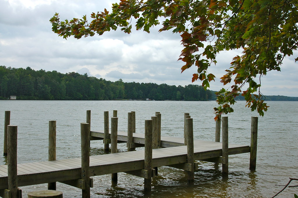
Lake Anna

Rappahannock River
Aquia Creek
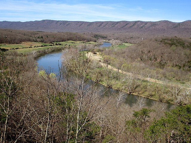
South Fork Shenandoah River

Potomac River
Potomac Creek
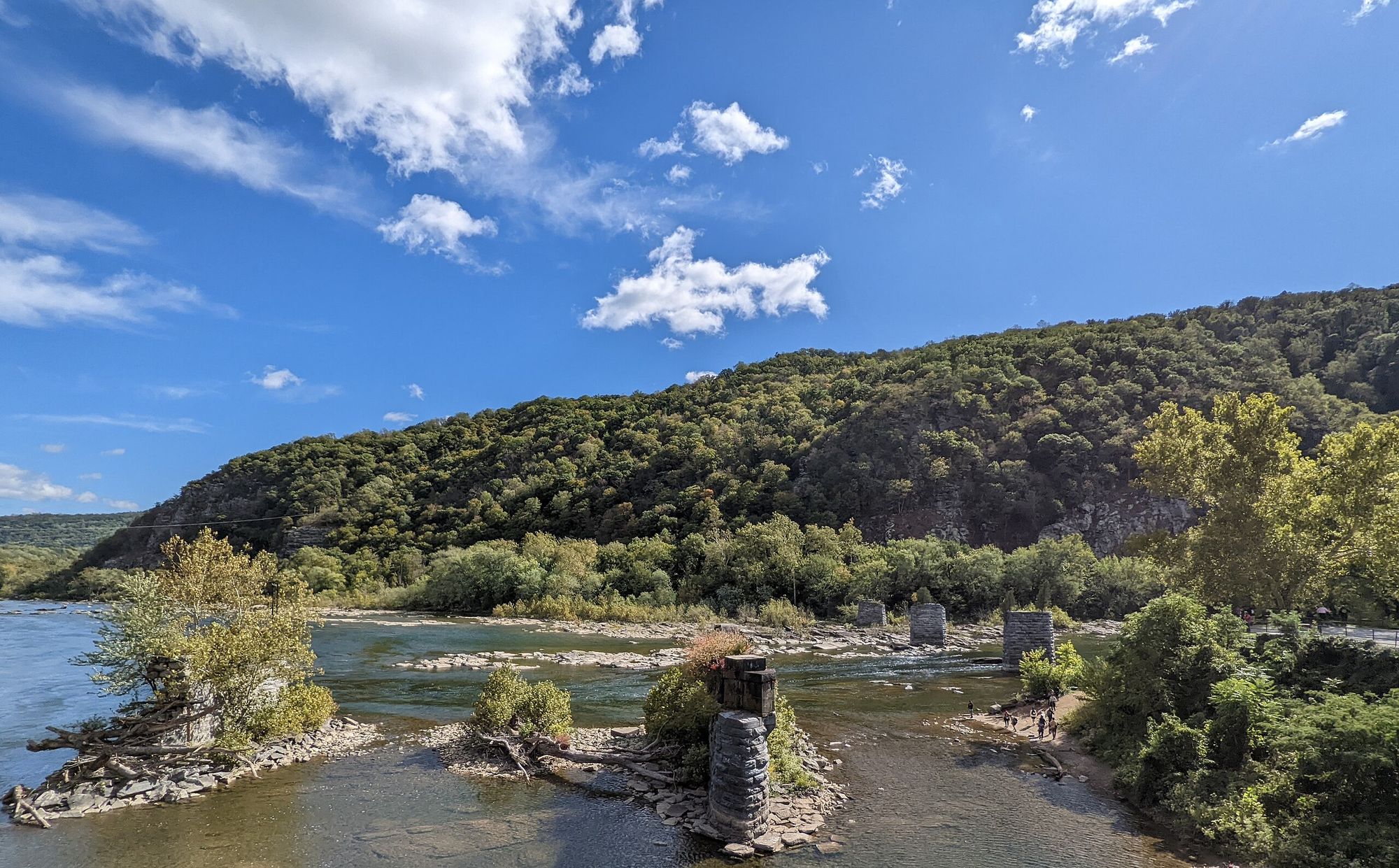
Shenandoah River
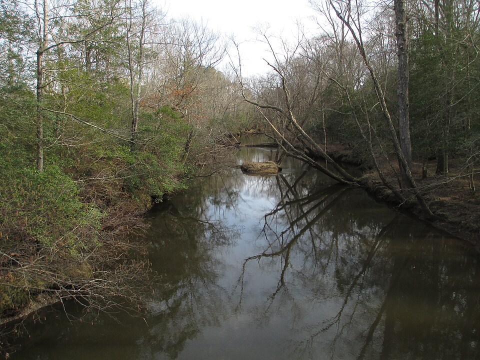
Mattaponi River
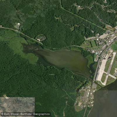
Chopawamsic Creek
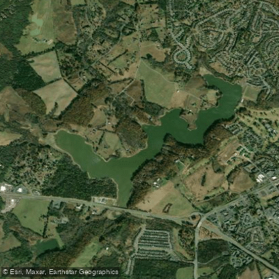
Lake Pelham
Explore Virginia waters
Top paddling waters
Popular Cities
Loading popular cities...
Explore near Rapidan River
Access points
Nearby waters
More in Virginia

Smarter Paddling Starts in the App.
Paddleways gives you everything you need to plan smarter, paddle better, and own every trip from first launch to takeout.