Curated by PaddleWays

Smithtin Beach Boat Ramp

7.6 mi flatwater route on the Youghiogheny River in Pennsylvania

  • Flatwater

Map of the Smithtin Beach Boat Ramp route, from Hazlebaker Boat Ramp to Smithtin Beach Boat Ramp
  • Route
  • Put-in
  • Take-out

Level right now

How Smithtin Beach Boat Ramp is running today

Recommended level from American Whitewater, on the gauge at Sutersville.

Route facts

Smithtin Beach Boat Ramp at a glance

Distance
7.6 mi
Paddle time
~2.5 hrs
Type
Flatwater
Recommended level
700–7,500 cfsfrom American Whitewater

About this route

Paddling Smithtin Beach Boat Ramp

A 7.6-mile flatwater route on the Youghiogheny River in Fayette County and Westmoreland County, Pennsylvania.

Put-in and take-out

Hazards

Hazards on Smithtin Beach Boat Ramp

No hazards are marked on Smithtin Beach Boat Ramp yet. That is not the same as none being there: if you find one, report it for the next paddler.

From the community

Smithtin Beach Boat Ramp trip reports

Real trips from PaddleWays paddlers who ran this route: how the flows were, and what to watch for.

Loading trip reports

  • David F.

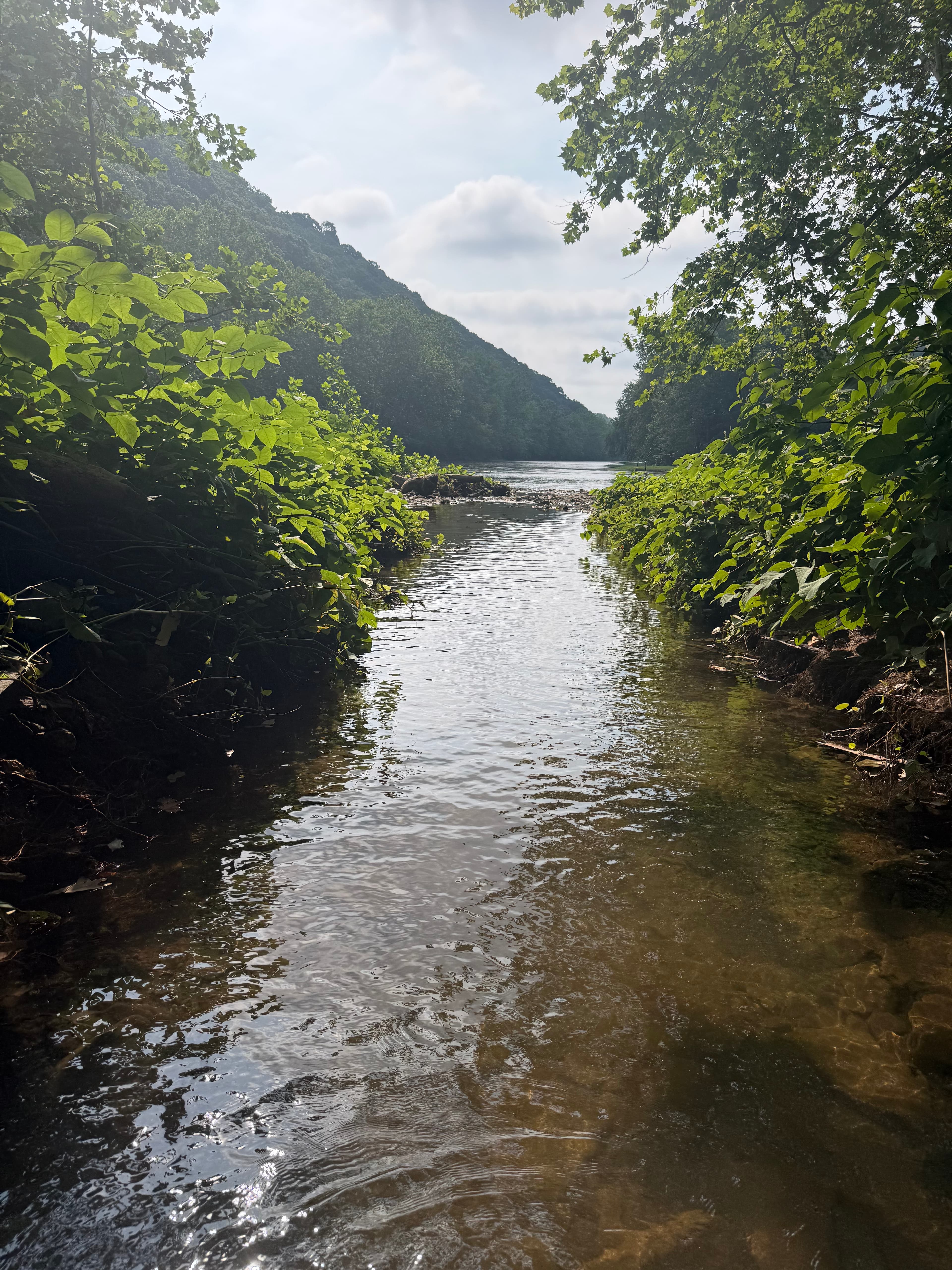
    • Photo 1 from David F.'s trip
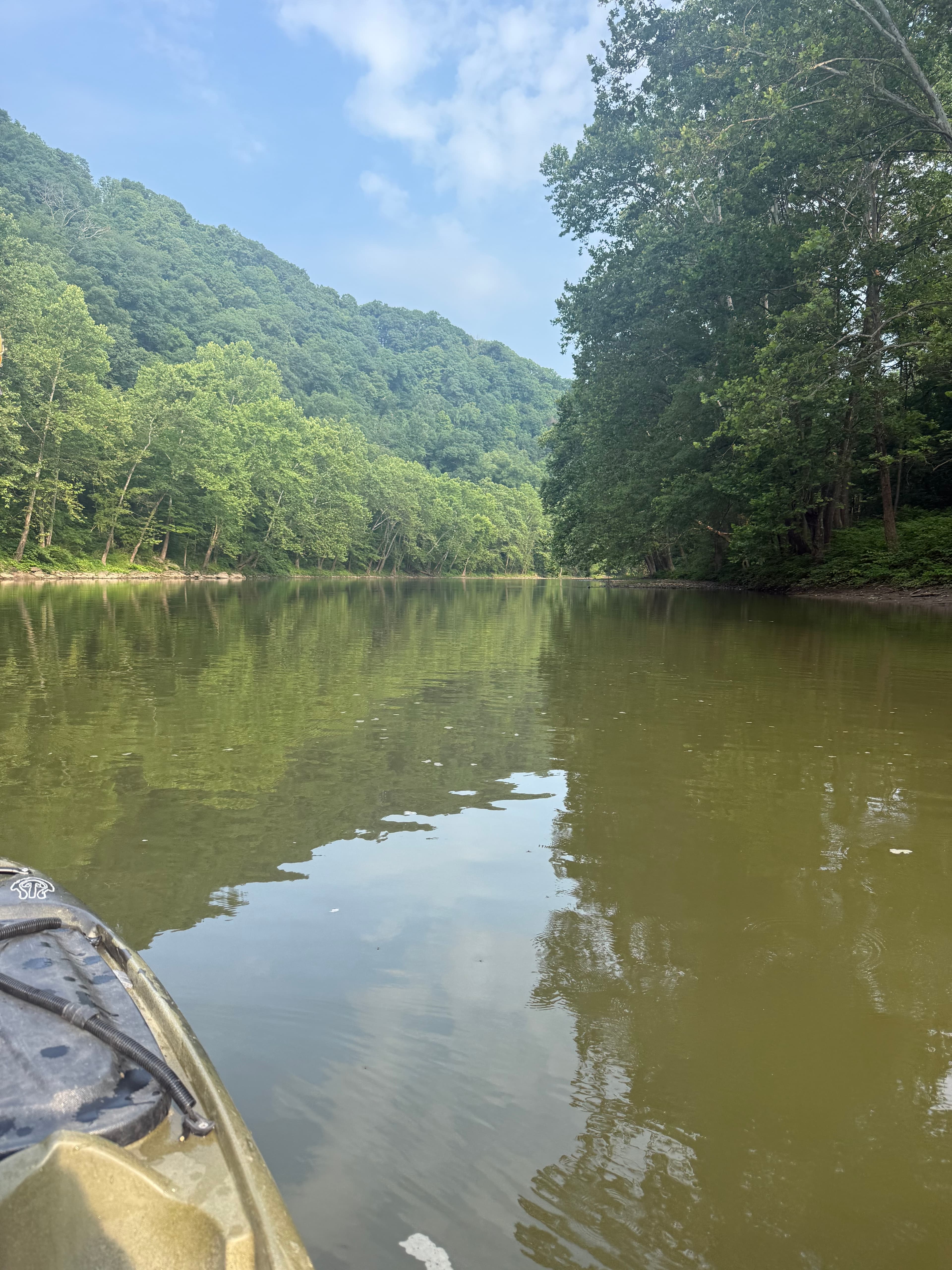
    • Photo 2 from David F.'s trip
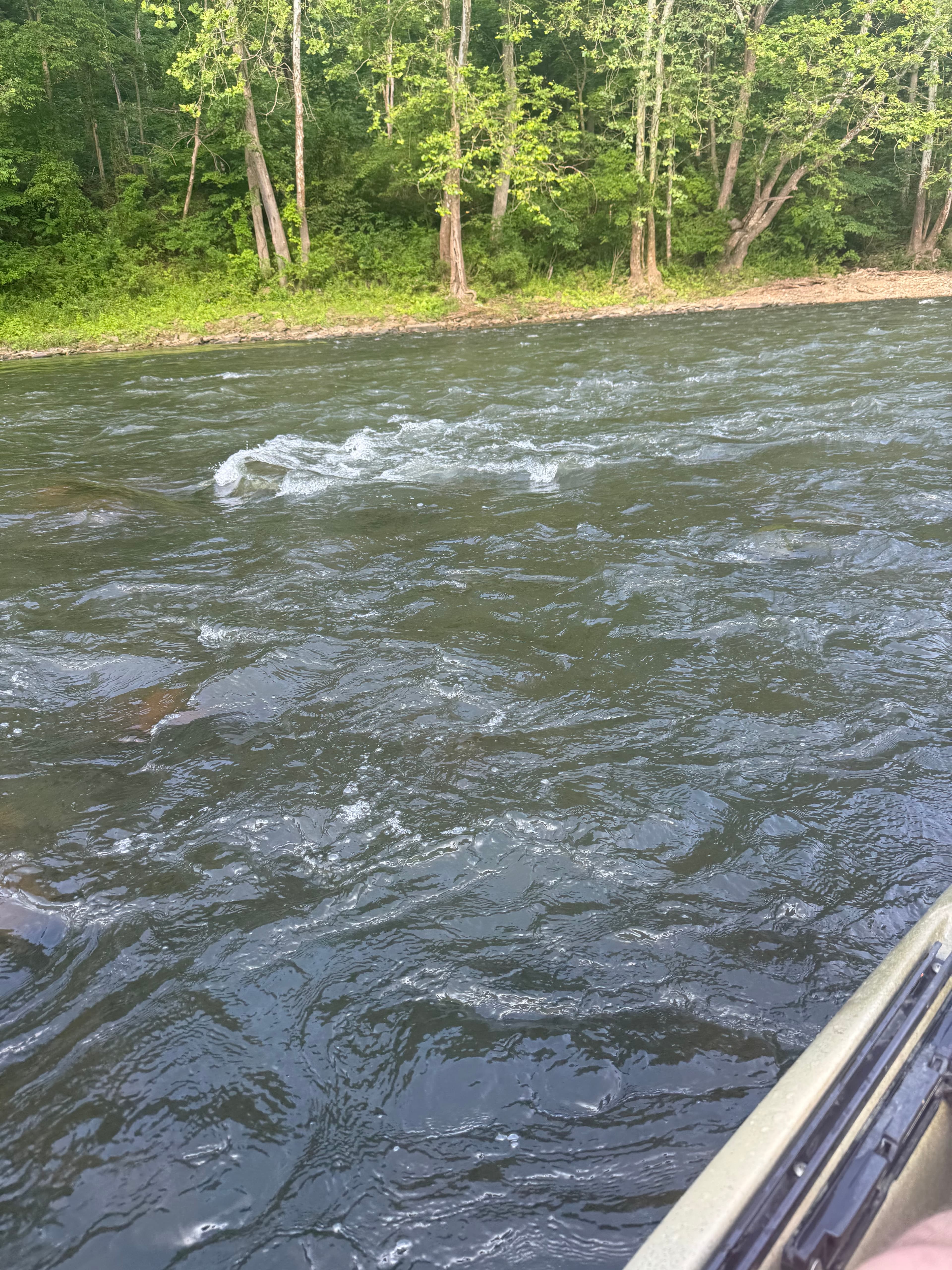
    • Photo 3 from David F.'s trip+3

Flows & weather (10 day forecast)

The gauges near Smithtin Beach Boat Ramp and the forecast where it starts, so you can pick your day.

No forecast data available.

Same water

More routes on the Youghiogheny River

The other curated routes on the Youghiogheny River, each with how it is running now.

Curated by PaddleWays

RouteClass I–II

Distance
5.5 mi
Paddle time
3–4 hrs
Best for
All skill levels
Put-in → take-out
Yough River Park Boat Ramp → Dawson-Dickerson Run Boat Ramp
Curated by PaddleWays

RouteClass III–IV

Distance
0.1 mi
Paddle time
~0.5 hrs
Best for
Experienced paddlers
Put-in → take-out
Bruner Run Boat Ramp → Youghiogheny, Lower Take-out
Curated by PaddleWays

RouteClass III–IV

Distance
7.2 mi
Paddle time
~2 hrs
Best for
Experienced paddlers
Put-in → take-out
Lower Yough Boat Ramp → Bruner Run Boat Ramp
Curated by PaddleWays

RouteClass I

Distance
7.5 mi
Paddle time
~2.5 hrs
Best for
Kayak, canoe
Put-in → take-out
Dawson-Dickerson Run Boat Ramp → Hazlebaker Boat Ramp
Curated by PaddleWays

RouteClass I–II

Distance
9.1 mi
Paddle time
~3 hrs
Best for
Beginners, families
Put-in → take-out
River Road Ramcat Boat Ramp → Middle Yough Boat Ramp
Curated by PaddleWays

RouteFlatwater

Distance
27.6 mi
Paddle time
~9 hrs
Best for
Kayak, canoe
Put-in → take-out
Hazlebaker Boat Ramp → Boston Park Boat Ramp

Close by

Routes near Smithtin Beach Boat Ramp

Curated routes on other waters within an hour or so, nearest first.

Curated by PaddleWays

RouteClass II–III

Distance
7.2 mi
Paddle time
~2 hrs
Best for
Intermediate paddlers
Put-in → take-out
Chaintown Access → Youghiogheny River Access
Curated by PaddleWays

RouteClass II–III

Distance
31.4 mi
Paddle time
~8 hrs
Put-in → take-out
Acme Dam Access → Youghiogheny River Access
Freeman Falls drop on the run
Curated by PaddleWays

RouteFlatwater

Distance
90.1 mi
Paddle time
Multi-day
Put-in → take-out
Point Marion Boat Ramp → 4th Street Access
Multiple locks and dams to navigate
Curated by PaddleWays

RouteClass III–V

Distance
5.7 mi
Paddle time
~1.5 hrs
Best for
Experienced paddlers
Put-in → take-out
Indian Creek Valley Trail Access → Indian Creek Gorge Access
Terminator rapid before take-out

Smarter Paddling Starts in the App.

PaddleWays gives you everything you need to plan smarter, paddle better, and own every trip from first launch to takeout.
