Curated by PaddleWays
RouteClass III–V
- Distance
- 5.7 mi
- Paddle time
- ~1.5 hrs
- Best for
- Experienced paddlers
- Put-in → take-out
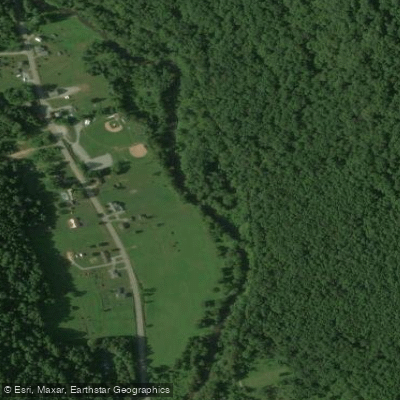
- Indian Creek Valley Trail Access → Indian Creek Gorge Access
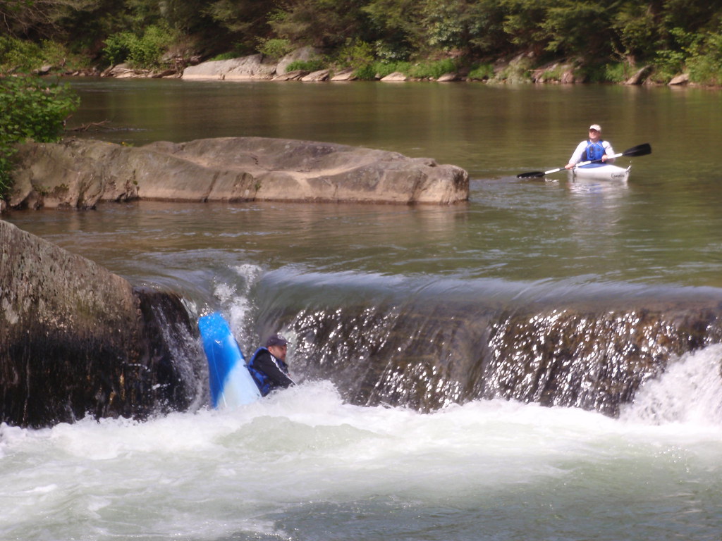
Terminator rapid before take-out
Indian Creek originates near Jones Mills in Westmoreland County and flows approximately 30 miles southwestward through the Laurel Highlands before joining the Youghiogheny River near Camp Carmel in Fayette County, roughly five miles upstream from Connellsville. The watershed encompasses 125 square miles across both counties, draining a landscape bounded by Chestnut Ridge to the west and Laurel Hill to the east. The creek descends over 2,000 feet from its headwaters near Seven Springs to its confluence with the Youghiogheny, creating varied aquatic habitat through forested mountain terrain.
The primary whitewater paddling section runs from Route 381 near Jones Mills to Camp Carmel at the Youghiogheny confluence—a 4.9-mile stretch rated Class III-IV with occasional Class V rapids. This technical run demands intermediate to advanced skills, featuring continuous rapids, tight maneuvering through boulder gardens, and powerful hydraulics during optimal flows. The Indian Creek Gorge section presents particularly challenging whitewater within a scenic forested canyon. Spring runoff from March through May provides the most reliable water levels, though the creek becomes too low for paddling during summer and fall dry periods. Winter and early spring offer the best conditions when snowmelt and rainfall maintain adequate flows.
Indian Creek supports both stocked and wild trout populations. The upper reaches near the headwaters hold native brook trout, while the lower sections contain stocked rainbow and brown trout. The Pennsylvania Fish and Boat Commission designates portions as High-Quality Cold-Water Fishery from the headwaters to Champion Creek, with Cold-Water Fishery designation continuing downstream. The forested riparian corridor provides habitat for white-tailed deer, black bear, wild turkey, and various songbird species typical of Pennsylvania's mixed hardwood forests.
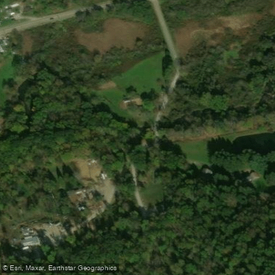
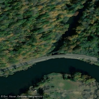
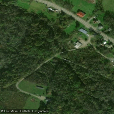
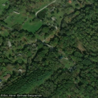
Access points include Route 381 near Jones Mills for put-in, with take-out near Camp Carmel where Indian Creek meets the Youghiogheny. The Indian Creek Valley Trail, a multi-use recreational path following the former Indian Creek Valley Railroad corridor, parallels portions of the creek from Champion through Indian Head to Mill Run, providing additional access opportunities and scenic overlooks of the gorge section.
The watershed bears significant industrial history from extensive underground coal mining operations from the mid-19th century through the 1960s. The Indian Creek Valley Railroad, constructed in 1906, transported timber and coal from the valley until 1969. Mining legacy includes abandoned mine drainage that historically degraded water quality, though extensive restoration efforts since the 1990s by the Mountain Watershed Association and Pennsylvania's Bureau of Abandoned Mine Reclamation have dramatically improved conditions. Five passive treatment systems now address mine drainage, restoring approximately ten miles of previously impaired stream.
Paddlers should recognize the technical nature of this run, with limited rescue opportunities in the gorge section and potential for strainers from fallen trees. The creek's small watershed means water levels fluctuate rapidly, and the run becomes hazardous during high flows.
Curated routes
Hand-picked by the PaddleWays team, with put-ins, take-outs, paddle times and the hazards along the way.
RouteClass III–V
RouteClass I–III
Hazards
No paddler has reported a hazard here yet, so these are the dams, falls and big rapids on our map. Hazards change with flows and storms, so check them before you launch.
From the community
Nobody has shared a trip on Indian Creek yet. Paddle it, then tell the next paddler how it went.
See exactly where the public can get on and off the river. Launch points and boat ramps are paired with PaddleWays' public land data so you know where you can legally land.
Public shoreline
43%of the river's shoreline is public
Most of the riverbank is private. Launch, land and camp only at public access points.
Flows, weather and a route-by-route verdict, so you know which stretch of the Indian Creek is worth paddling today.
No forecast data available.
Live flows, marked hazards and fresh trip reports from paddlers who were just on the water, all in one place.





Every user gets free access to launch points, boat ramps, and public property parcels.

Loading popular cities...
PaddleWays gives you everything you need to plan smarter, paddle better, and own every trip from first launch to takeout.