Curated by PaddleWays
RouteClass II–III
- Distance
- 7.2 mi
- Paddle time
- ~2 hrs
- Best for
- Intermediate paddlers
- Put-in → take-out
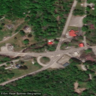
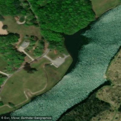
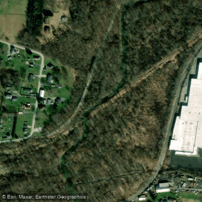
- Chaintown Access → Youghiogheny River Access
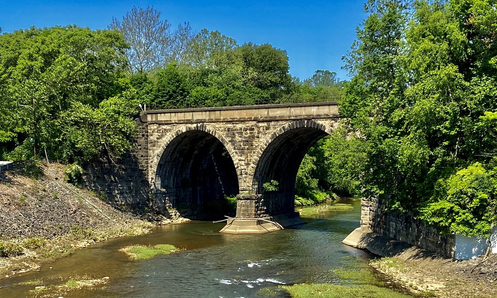
Jacobs Creek originates along Chestnut Ridge in southwestern Pennsylvania, flowing approximately 31 miles generally west through Fayette and Westmoreland Counties before joining the Youghiogheny River near the community of Jacobs Creek. The watershed encompasses roughly 98 square miles, with about 75% in Westmoreland County and 25% in Fayette County. The creek drops from elevations exceeding 2,180 feet at its headwaters to approximately 785 feet at its confluence, creating a varied gradient that produces both gentle flows and challenging whitewater sections.
The paddling character of Jacobs Creek changes dramatically along its length. The upper section from Acme to Laurelville presents Class III-IV whitewater with a gradient of approximately 25 feet per mile, demanding advanced skills and appropriate water levels. The middle section from Chaintown to the Youghiogheny River offers more moderate Class II-III water with a 7.1-mile run suitable for intermediate paddlers. Water levels are critical—the creek requires sufficient flow, typically available during spring runoff or after significant rainfall.
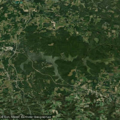
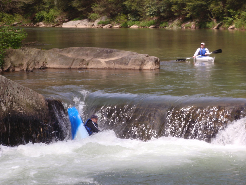
The creek traverses diverse landscapes including forested headwaters near Chestnut Ridge, agricultural valleys in the middle reaches, and the urban centers of Mount Pleasant and Scottdale. Notable features include Creek Falls near Chaintown, a dramatic waterfall with a swimming hole at its base, and the Bridgeport Dam, which creates the 60-acre Green Lick Run Lake. The Darr Mine area carries historical significance as the site of a devastating 1907 mining disaster that claimed 239 lives.
Access points include locations near Acme, Laurelville, Chaintown, and the town of Jacobs Creek, with Mount Pleasant and Scottdale serving as primary nearby communities. The Great Allegheny Passage rail-trail parallels portions of the watershed, providing additional recreational access.
Water quality has improved through recent remediation efforts addressing abandoned mine drainage, agricultural runoff, and urban stormwater. The creek now supports populations of smallmouth bass, panfish, and stocked trout in certain sections. Great blue herons and green herons are commonly observed, indicating a recovering fishery.
Safety considerations include the hazardous South Connellsville Dam, which must be portaged, and numerous abandoned mine drainage sites that can affect water quality. The steep terrain and potential for flash flooding during storms require careful trip planning. Spring offers the most reliable water levels, though summer flows can be insufficient for navigation in many sections.
The Jacobs Creek Watershed Association actively works on stream restoration and water quality improvement projects throughout the system.
Curated routes
Hand-picked by the PaddleWays team, with put-ins, take-outs, paddle times and the hazards along the way.
RouteClass II–III
RouteClass II–III
Hazards
No paddler has reported a hazard here yet, so these are the dams, falls and big rapids on our map. Hazards change with flows and storms, so check them before you launch.
From the community
Nobody has shared a trip on Jacobs Creek yet. Paddle it, then tell the next paddler how it went.
See exactly where the public can get on and off the river. Launch points and boat ramps are paired with PaddleWays' public land data so you know where you can legally land.
Public shoreline
20%of the river's shoreline is public
Most of the riverbank is private. Launch, land and camp only at public access points.
Flows, weather and a route-by-route verdict, so you know which stretch of the Jacobs Creek is worth paddling today.
No forecast data available.
Live flows, marked hazards and fresh trip reports from paddlers who were just on the water, all in one place.





Every user gets free access to launch points, boat ramps, and public property parcels.

Loading popular cities...
PaddleWays gives you everything you need to plan smarter, paddle better, and own every trip from first launch to takeout.