Clarion River
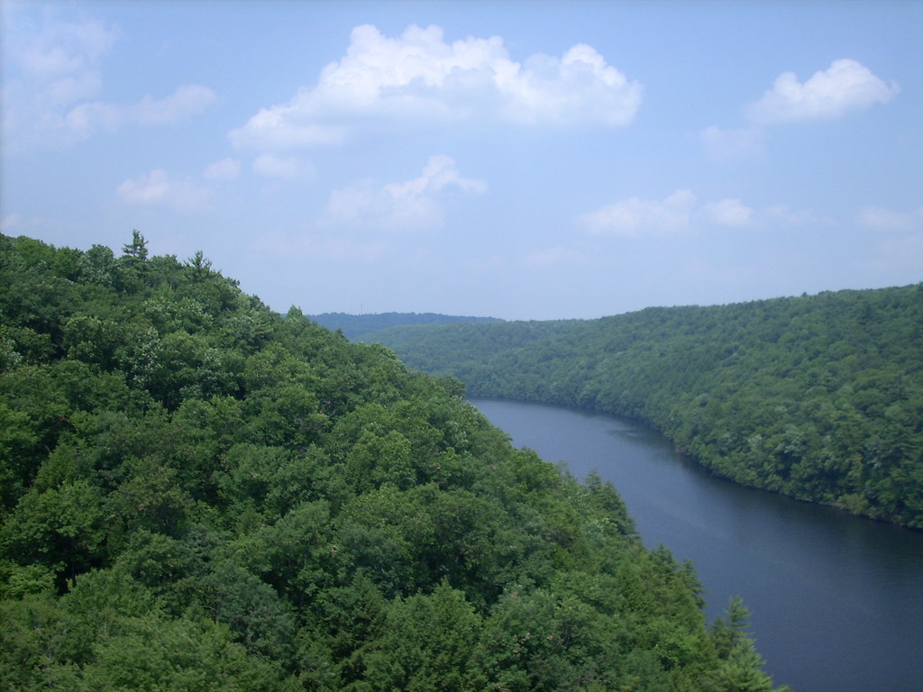
Clarion River
- Boat Ramps
- 14
- Access Points
- 20
- Campsites
- 7
The Clarion River is a scenic waterway that meanders through the heart of Pennsylvania's Great Outdoors region, offering paddlers a diverse and picturesque journey through narrow valleys and hardwood forests. Stretching approximately 110 miles from its headwaters near Johnsonburg to its confluence with the Allegheny River near Foxburg, the Clarion River is renowned for its natural beauty and recreational opportunities.
This federally designated Wild and Scenic River provides a range of paddling experiences suitable for various skill levels. The majority of the river is characterized by Class I-II rapids, making it accessible to beginners and families while still offering enough excitement for more experienced paddlers. The river's flow is generally gentle, with intermittent riffles and rocky outcrops adding interest to the journey.
The Clarion River can be divided into several notable sections, each offering its own unique features. The upper section from Ridgway to Cooksburg is particularly popular, showcasing some of Pennsylvania's most beautiful landscapes and abundant wildlife. The Cook Forest State Park section, a 13-mile stretch, is a favorite for day trips and is well-suited for canoeing, kayaking, and tubing. Further downstream, the Cooksburg to Piney Dam section offers a mix of accessible and more secluded paddling experiences.
Spring and early summer typically provide the best water levels for paddling, though the river is often navigable well into the fall. During late summer and periods of low rainfall, some shallow areas may require occasional portaging, particularly in the upper sections.
The Clarion River's ecosystem is rich and diverse. Paddlers can expect to see a variety of wildlife, including bald eagles, ospreys, and river otters. The forested slopes lining the river are home to black bears, white-tailed deer, and numerous bird species. The river corridor is also known for its impressive stands of old-growth forest, particularly in and around Cook Forest State Park.
Several towns along the river serve as key access points and offer amenities for paddlers. Ridgway, Cooksburg, and Clarion are popular put-in and take-out locations, with various outfitters providing rental services and shuttle options. The Pale Whale Canoe Fleet in Cook Forest State Park is a well-known outfitter offering a range of trip options.
Historically, the Clarion River played a significant role in the region's logging and manufacturing industries. Today, it stands as a testament to successful conservation efforts, having transformed from a polluted waterway to a pristine recreational resource.
Safety considerations include being aware of water levels, which can fluctuate due to rainfall and dam releases. Paddlers should also be cautious of submerged obstacles, particularly in less frequently traveled sections. As always, wearing a personal flotation device is essential.
For those seeking a multi-day adventure, the full 110-mile journey from Johnsonburg to Foxburg offers an immersive experience of the river's changing character. This trip typically takes 5-7 days, with numerous camping options along the way, including sites in state parks and the Allegheny National Forest.
The Clarion River Water Trail, which encompasses the entire length of the river, provides paddlers with well-marked access points and informative signage, making it an excellent choice for both day trips and extended journeys through one of Pennsylvania's most beautiful waterways.
Water access, boat ramps & amenities
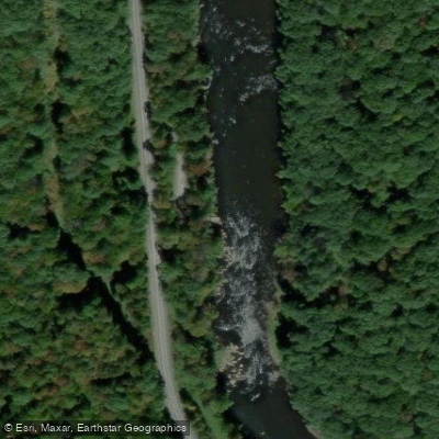
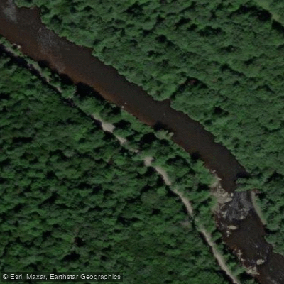
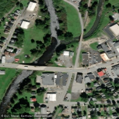
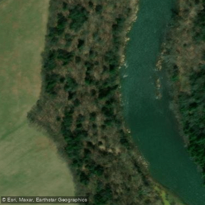
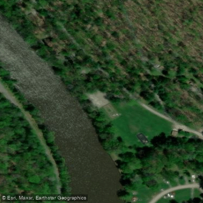
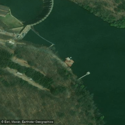
Learn how to get on Clarion River. Uncover great paddling access points, boat ramps, and all the facilities you need for an unforgettable day on the water. Some locations shown may border or include private property. Always check property boundaries and applicable regulations before visiting. PaddleWays's Public & Private Land layer can help you plan your access with confidence.
Paddle smarter with real-time insights
Whether you're en route and conditions shift or you're looking for the best spot based on current flows, we enable you to make informed decisions on the fly.








Find Places to Paddle

Over 400,000 Places to Paddle
Every user gets free access to launch points, boat ramps, and public property parcels.


Water and weather conditions (10 day forecast)
See the best times to paddle Clarion River and check the forecast before you go.
Clarion River at Johnsonburg, PA
All Flow Stations
Paddling near Clarion River
Allegheny River

Lake Erie
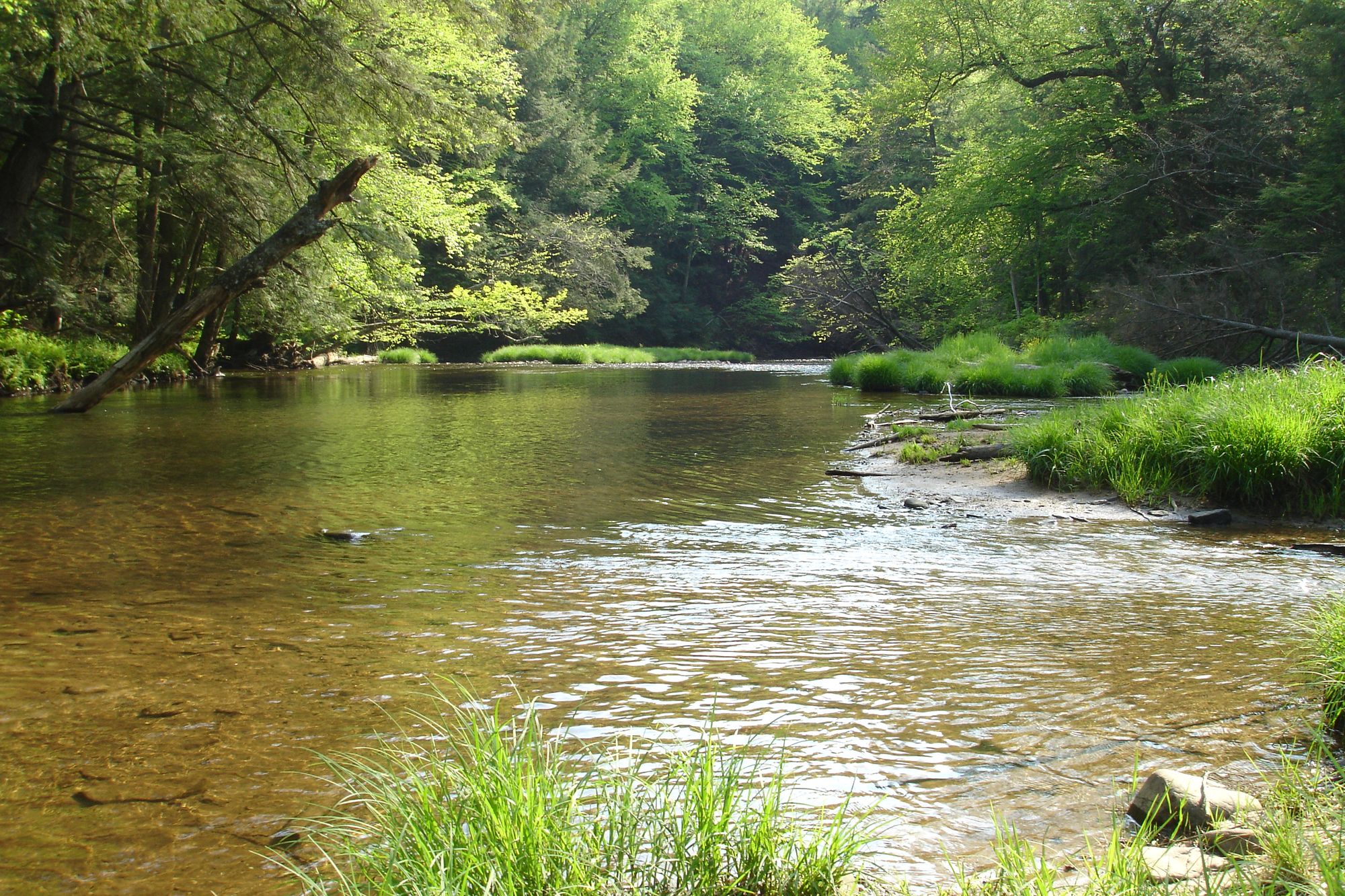
Kinzua Creek
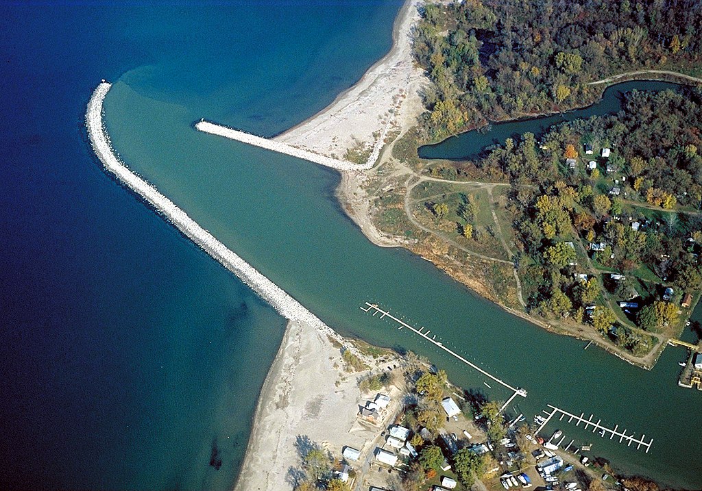
Cattaraugus Creek
Chautauqua Lake
Allegheny Reservoir
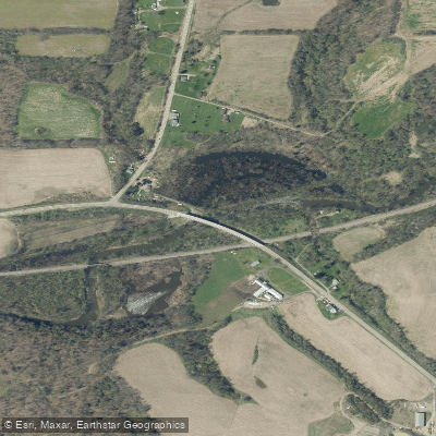
Conewango Creek
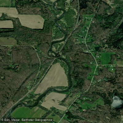
French Creek
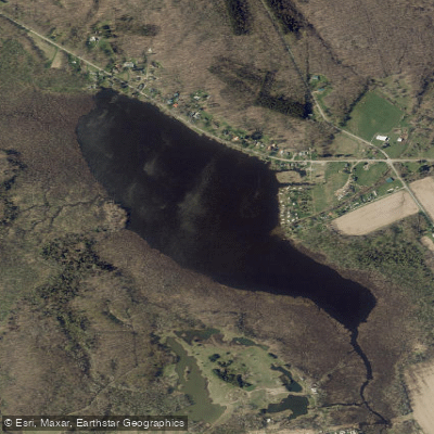
Bear Lake
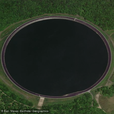
Seneca Pumped Storage Reservoir
Explore Pennsylvania waters
Top paddling waters
Popular Cities
Loading popular cities...
Explore near Clarion River
Access points
Nearby waters
More in Pennsylvania

Smarter Paddling Starts in the App.
Paddleways gives you everything you need to plan smarter, paddle better, and own every trip from first launch to takeout.