Lake Wallenpaupack
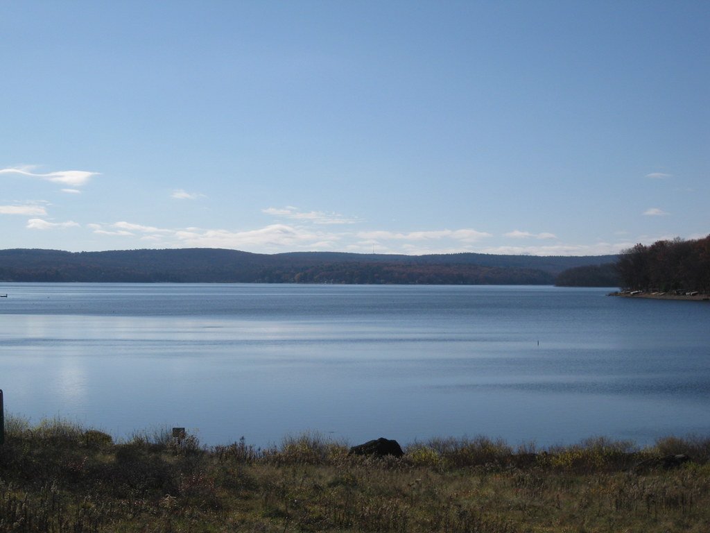
Lake Wallenpaupack
- Boat Ramps
- 7
- Access Points
- 10
- Campsites
- 4
Lake Wallenpaupack is a 5,700-acre reservoir in northeastern Pennsylvania's Pocono Mountains, stretching 13 miles with 52 miles of shoreline. Built in 1927 for hydroelectric power, it's now a popular recreation destination. Paddlers can access the lake at several points, including free launches at Mangan Cove and fee-based access areas at Caffrey, Ironwood Point, Ledgedale, and Wilsonville.
The lake offers diverse paddling experiences, from calm inlets to open water. Early mornings and weekdays tend to be less crowded, providing a more peaceful atmosphere. Motorized boats are common, so paddlers should be alert and stay visible, especially on busy summer weekends. There are no horsepower restrictions, but speed limits of 45 mph during the day and 25 mph from sunset to sunrise are enforced.
Wildlife viewing opportunities abound, with chances to spot various bird species, deer, and aquatic life. Anglers may encounter bass, walleye, pickerel, trout, and panfish. The lake's water quality is generally good, supporting a healthy ecosystem.
Paddlers can explore the lake's numerous coves and inlets, offering scenic views of the surrounding forested shoreline. The Pocono Mountains provide a picturesque backdrop, especially during fall foliage season.
Rentals are available from local outfitters, including kayaks, canoes, and stand-up paddleboards. Some marinas offer hourly and daily rental options. Paddlers should be aware of changing weather conditions and wear appropriate safety gear, including life jackets.
The paddling season typically runs from May through September, with water temperatures warming up as summer progresses. Facilities around the lake include beaches, picnic areas, and boat launches, though amenities specifically for paddlers may be limited.
Water access, boat ramps & amenities
Learn how to get on Lake Wallenpaupack. Uncover great paddling access points, boat ramps, and all the facilities you need for an unforgettable day on the water. Some locations shown may border or include private property. Always check property boundaries and applicable regulations before visiting. PaddleWays's Public & Private Land layer can help you plan your access with confidence.
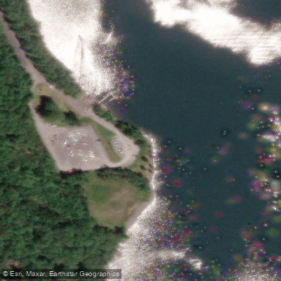
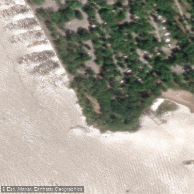
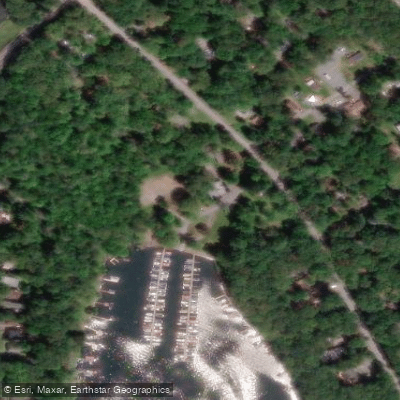
Paddle smarter with real-time insights
Whether you're en route and conditions shift or you're looking for the best spot based on current flows, we enable you to make informed decisions on the fly.








Find Places to Paddle

Over 400,000 Places to Paddle
Every user gets free access to launch points, boat ramps, and public property parcels.


Water and weather conditions (10 day forecast)
See the best times to paddle Lake Wallenpaupack and check the forecast before you go.
No forecast data available.
Paddling near Lake Wallenpaupack

Delaware River
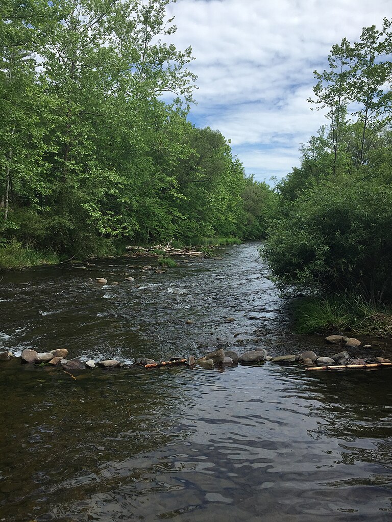
Brodhead Creek
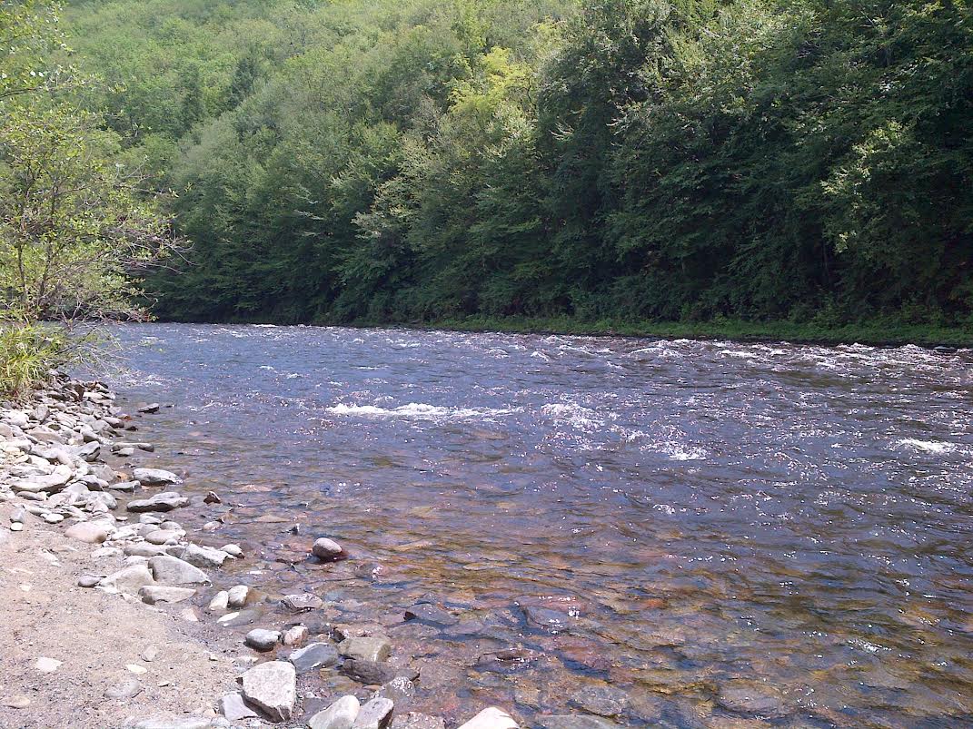
Lehigh River
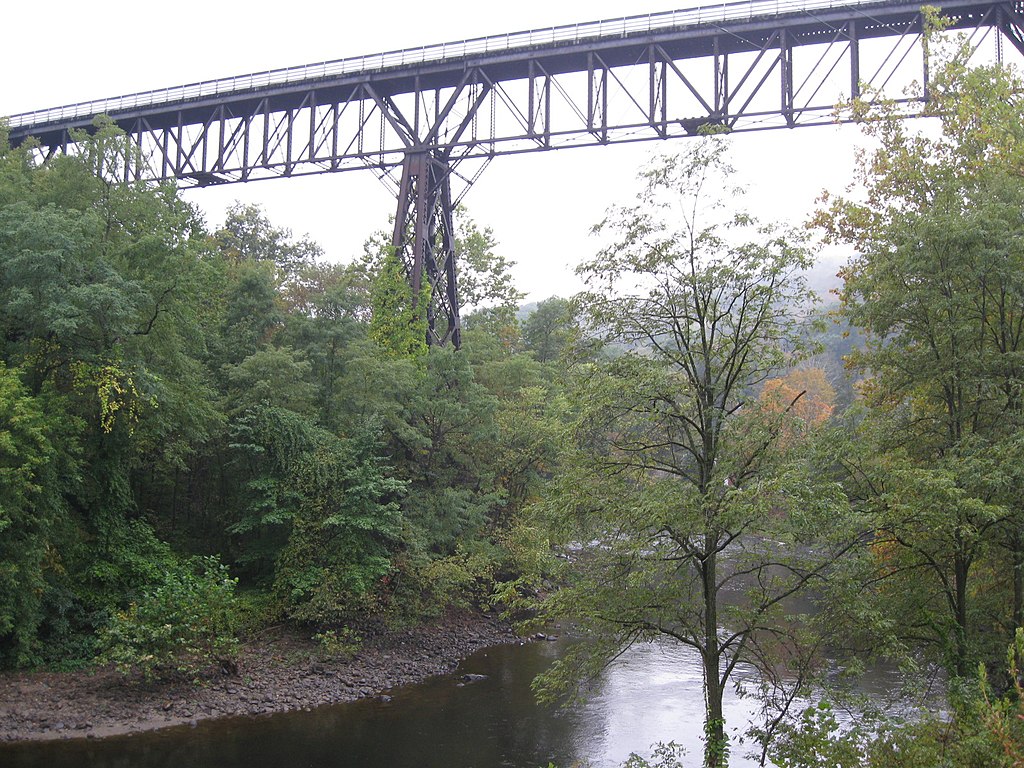
Rondout Creek
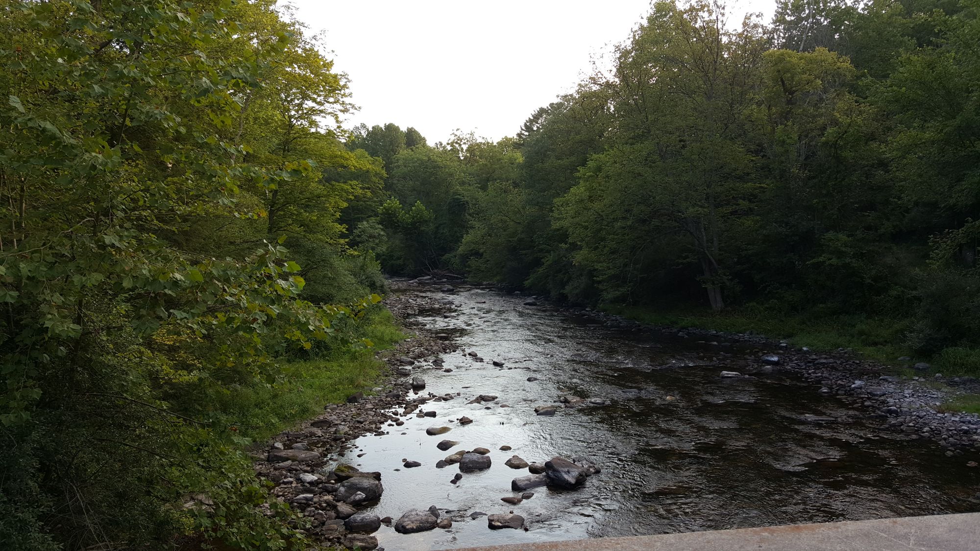
Flat Brook

Susquehanna River
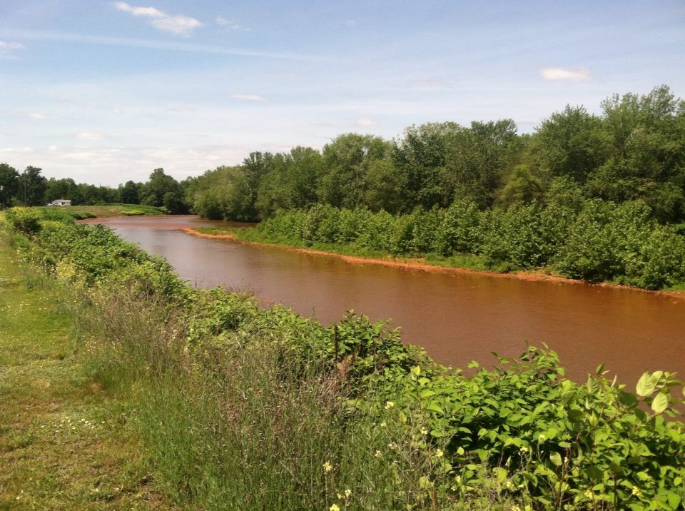
Lackawanna River
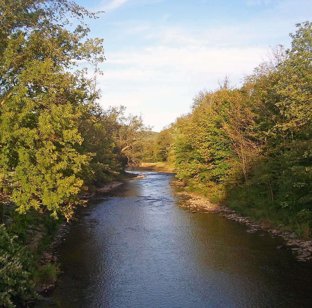
East Branch Delaware River
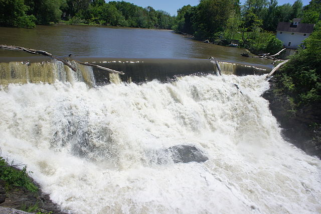
Beaver Kill
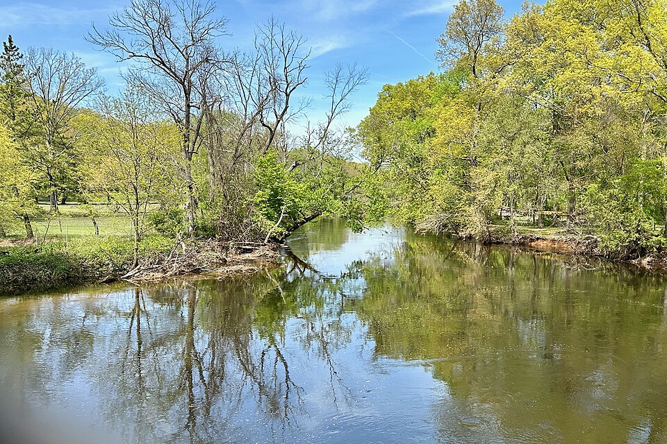
Rockaway River
Explore Pennsylvania waters
Top paddling waters
Popular Cities
Loading popular cities...
Explore near Lake Wallenpaupack
Access points
- Capri Boat Ramp
- Caffrey Recreation Area Boat Ramp
- Ledgedale Recreation Area Boat Ramp
- Ironwood Point Boat Ramp
- Wilsonville Recreation Area Boat Ramp
- 1st Klas Marina Boat Ramp
- Wallenpaupack Lake Boat Ramp
- Lake Wallenpaupack Access
- Wilsonville Recreation Area Access
- Walt's Landing Access
- Kleinhans Creek Bridge
- Wallenpaupack Creek Bridge
- All 58 spots
Nearby waters
More in Pennsylvania

Smarter Paddling Starts in the App.
Paddleways gives you everything you need to plan smarter, paddle better, and own every trip from first launch to takeout.