Cattaraugus Creek
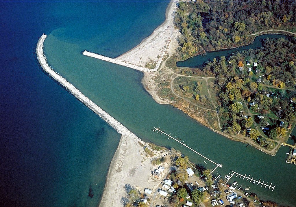
Cattaraugus Creek
- Boat Ramps
- 3
- Access Points
- 13
- Campsites
- 1
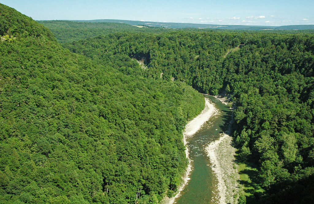
Cattaraugus Creek is a scenic and challenging waterway in western New York, originating in Cattaraugus County and flowing westward for approximately 68 miles before emptying into Lake Erie. Its main tributaries include the South Branch Cattaraugus Creek and Clear Creek. The river carves through the magnificent Zoar Valley, creating a 400-foot deep gorge that offers paddlers a unique wilderness experience. The creek provides diverse paddling opportunities, ranging from calm flatwater sections near Lake Erie to challenging whitewater runs through Zoar Valley.
Notable sections include the Zoar Valley Canyon (Class III-IV), Lower Gowanda (Class II-III), and the South Branch to Main Branch confluence (Class II-IV). The overall difficulty ranges from Class I to IV, requiring intermediate to advanced skills for most sections. Cattaraugus Creek is primarily a seasonal paddling destination, with optimal conditions typically occurring in spring during snowmelt and after heavy rains. Late fall can also offer good paddling opportunities. Water levels fluctuate rapidly, significantly impacting the river's character and difficulty.
The creek's corridor supports diverse ecosystems, including old-growth forests and habitats for bald eagles. Paddlers may encounter various wildlife and enjoy stunning scenery, particularly in the Zoar Valley section. Key landmarks include Scoby Dam near Springville, the Zoar Valley Multiple Use Area, and the creek's confluence with Lake Erie. Primary access points are found at Zoar Bridge, Gowanda, North Otto Road, and Irving, with nearby towns including Gowanda, Springville, and Otto.
Historically, the creek played a role in early settlement and industrial development of the region. Today, it's valued for its recreational opportunities and natural beauty. Safety is paramount when paddling Cattaraugus Creek. Its dynamic nature, especially at high water levels, demands respect and proper equipment. Some sections, particularly in Zoar Valley, are not recommended for beginners. Paddlers should be aware of local regulations, especially in protected areas.
While most trips are day excursions, multi-day adventures are possible by combining different sections, though camping options are limited and should be carefully planned. Cattaraugus Creek offers a premier paddling experience in western New York, rewarding those who respect its power with unforgettable journeys through pristine landscapes.
Water access, boat ramps & amenities
Learn how to get on Cattaraugus Creek. Uncover great paddling access points, boat ramps, and all the facilities you need for an unforgettable day on the water. Some locations shown may border or include private property. Always check property boundaries and applicable regulations before visiting. PaddleWays's Public & Private Land layer can help you plan your access with confidence.
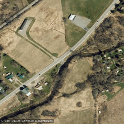
Cattaraugus Creek Access
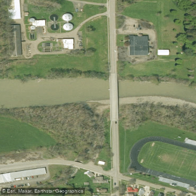
Aldrich Street Access
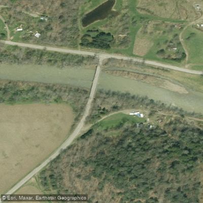
Hammond Hill Road Access
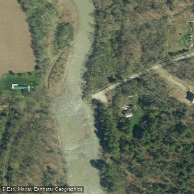
Cattaraugus Creek Access
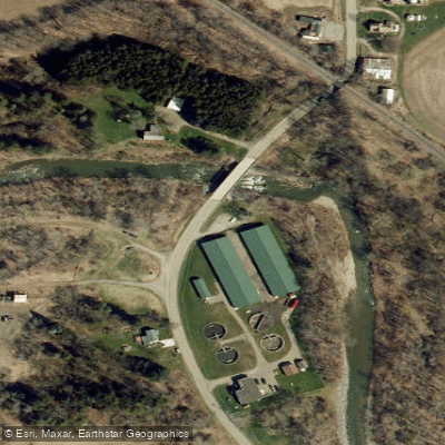
Cattaraugus Creek Access
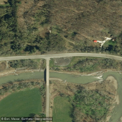
Cattaraugus Creek Access
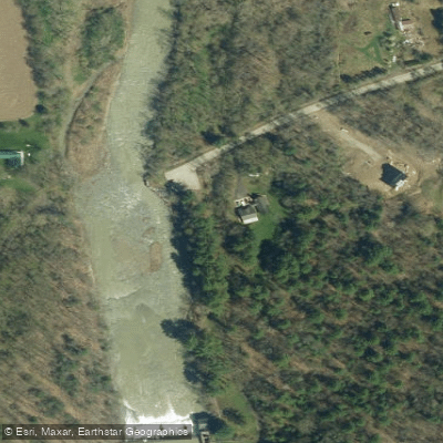
Scoby Dam Park Access
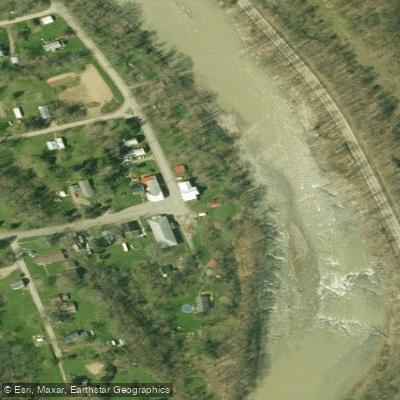
Versailies Access
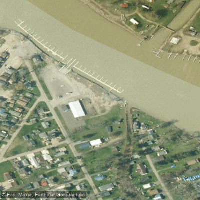
Sunset Bay Access
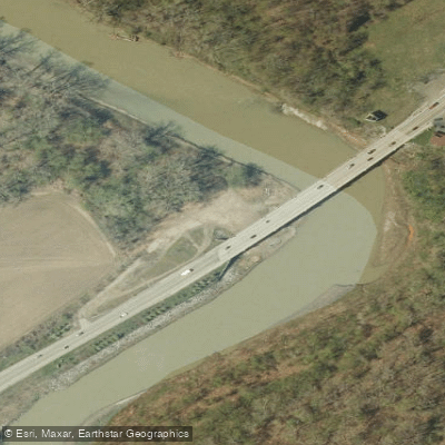
Irving Access
Paddle smarter with real-time insights
Whether you're en route and conditions shift or you're looking for the best spot based on current flows, we enable you to make informed decisions on the fly.








Find Places to Paddle

Over 400,000 Places to Paddle
Every user gets free access to launch points, boat ramps, and public property parcels.


Water and weather conditions (10 day forecast)
See the best times to paddle Cattaraugus Creek and check the forecast before you go.
CATTARAUGUS CREEK AT GOWANDA NY
Paddling near Cattaraugus Creek

Lake Erie
Niagara River
Lake Ontario
Tonawanda Creek
Genesee River

Saint Lawrence River
Eighteenmile Creek
Allegheny Reservoir
Ellicott Creek
Explore New York waters
Top paddling waters
Popular Cities
Loading popular cities...
Explore near Cattaraugus Creek
Access points
Nearby waters
More in New York

Smarter Paddling Starts in the App.
Paddleways gives you everything you need to plan smarter, paddle better, and own every trip from first launch to takeout.