Conestoga River
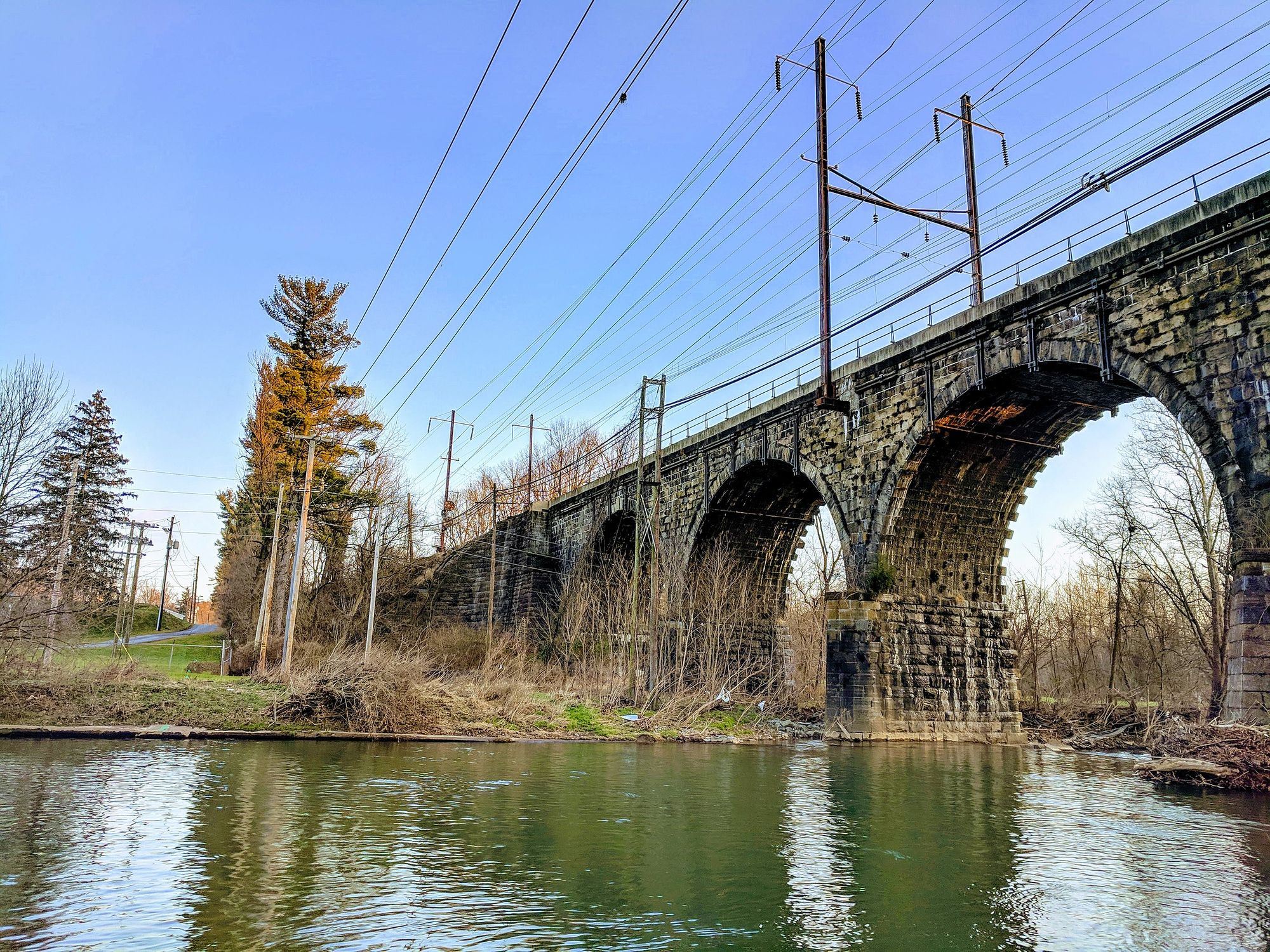
Conestoga River
- Boat Ramps
- 0
- Access Points
- 19
- Campsites
- 4
The Conestoga River is a scenic 60-mile waterway in Lancaster County, Pennsylvania. Originating from a large spring known as Bortz's Swamp in Caernarvon Township, it flows southwest before emptying into the Susquehanna River at Safe Harbor. The Little Conestoga Creek is a major tributary, joining the main stem near Rock Hill.
The Conestoga River Water Trail offers 32 miles of paddling opportunities from Brownstown to Safe Harbor, suitable for canoes, kayaks, and tubes. This Class I river provides mostly flatwater paddling appropriate for beginners and families. The full trail can be completed in 1-2 days, with numerous access points allowing for shorter trips. Popular paddling sections include: - Fisher Park to Perelman Park (6.9 miles) - Perelman Park to Conestoga Pines (2.7 miles) - Rock Hill to Safe Harbor (3.5 miles)
Spring and fall offer the best water levels for paddling. Summer months can be low, especially in July and August. The river's flow can be monitored using the USGS gauge at Lancaster.
The Conestoga flows through scenic Lancaster County farmland and wooded areas. Paddlers may spot great blue herons, bald eagles, and various waterfowl. Key landmarks include the historic Rock Hill Bridge, remains of Lock 8 from the 1820s Conestoga Navigation Company, and the confluence with Little Conestoga Creek. Major access points include: - Fisher Park (Talmage) - Perelman Park (Manheim Township) - Conestoga Pines Park (Lancaster) - Rock Hill Access (Rock Hill) - Safe Harbor Park (Safe Harbor)
The river played a significant role in the region's transportation history, with the Conestoga Navigation Company operating a system of locks and dams in the early 19th century to improve navigation. Paddlers should be aware of three dams requiring portage. Always check water levels and weather conditions before paddling. Life jackets are required by law.
For those seeking a multi-day adventure, the full 32-mile water trail can be completed in 2-3 days, with numerous parks and access points along the way for camping or lodging options.
Water access, boat ramps & amenities
Learn how to get on Conestoga River. Uncover great paddling access points, boat ramps, and all the facilities you need for an unforgettable day on the water. Some locations shown may border or include private property. Always check property boundaries and applicable regulations before visiting. PaddleWays's Public & Private Land layer can help you plan your access with confidence.
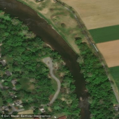
Perelman Park, Paper Mill Road Access
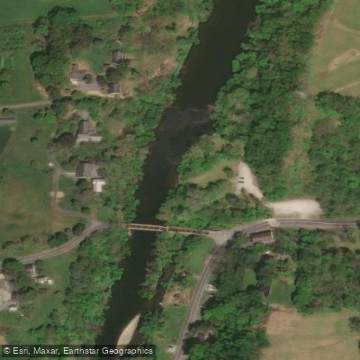
Rock Hill Access
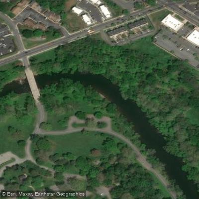
Rockford Road Access
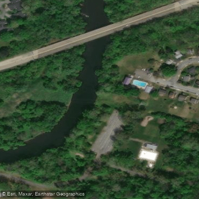
Conestoga Pines Park Access
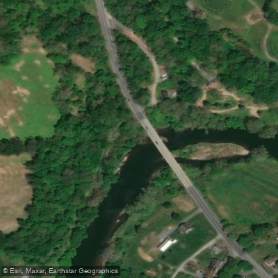
Slackwater Access
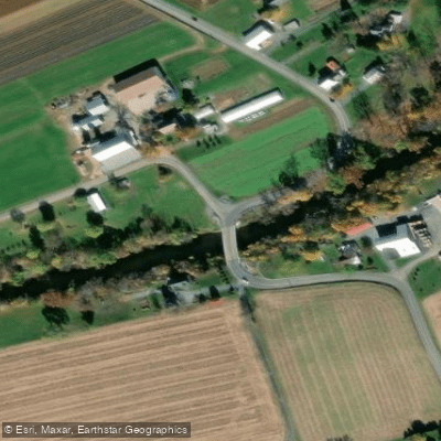
Turtle Hill Road Access
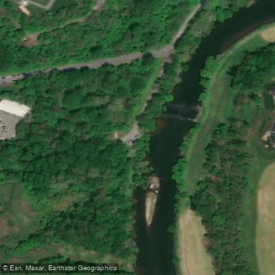
Creek Drive South Access
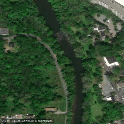
Conestoga Drive North Access
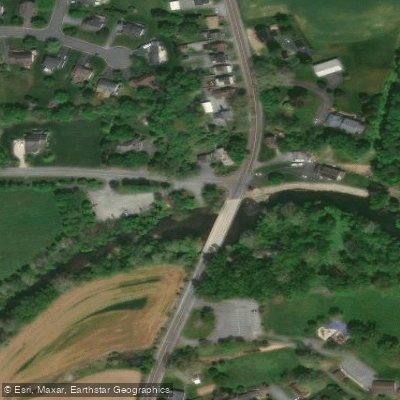
Stone Quarry Access
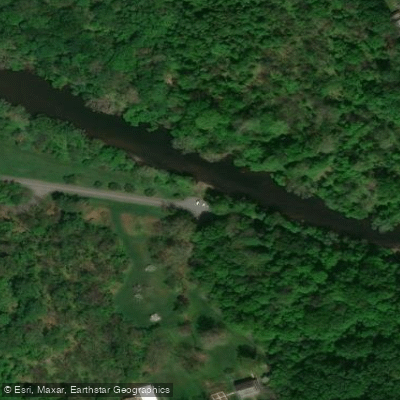
Rockford Road Access
Paddle smarter with real-time insights
Whether you're en route and conditions shift or you're looking for the best spot based on current flows, we enable you to make informed decisions on the fly.








Find Places to Paddle

Over 400,000 Places to Paddle
Every user gets free access to launch points, boat ramps, and public property parcels.


Water and weather conditions (10 day forecast)
See the best times to paddle Conestoga River and check the forecast before you go.
Conestoga River at Lancaster, PA
All Flow Stations
Paddling near Conestoga River

Susquehanna River
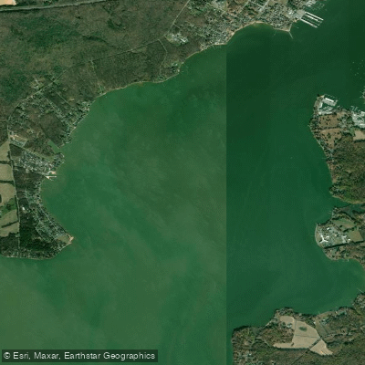
North East River
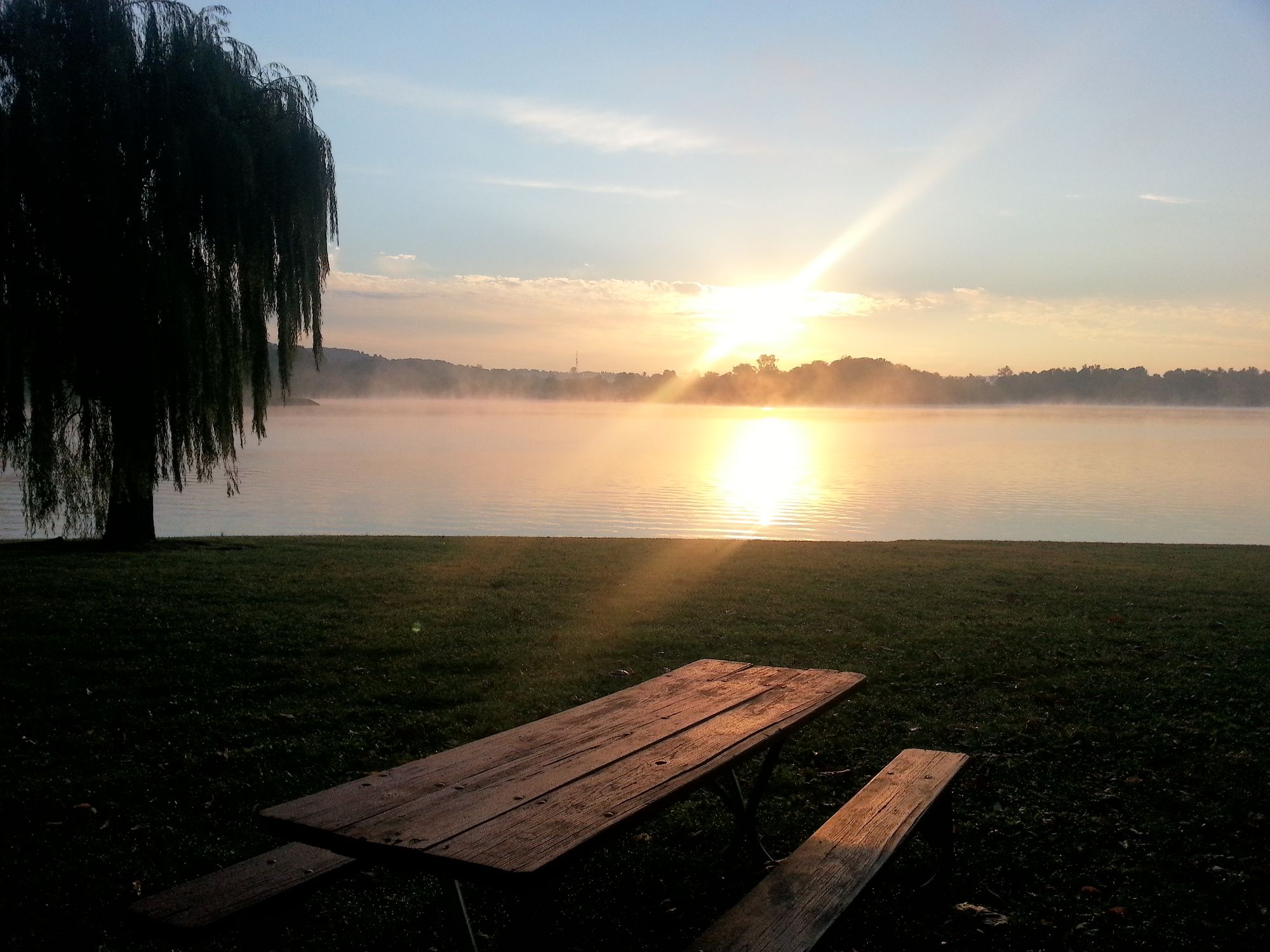
Blue Marsh Lake
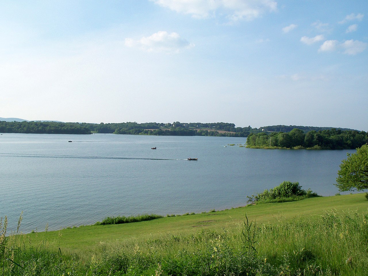
Lake Marburg
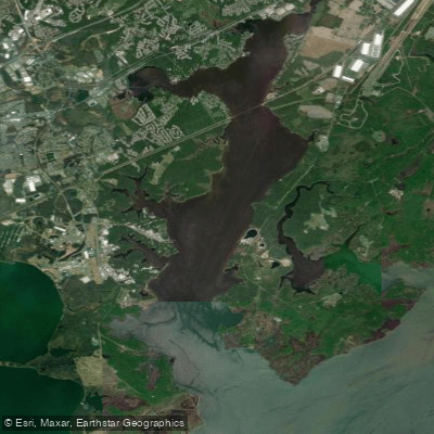
Bush River
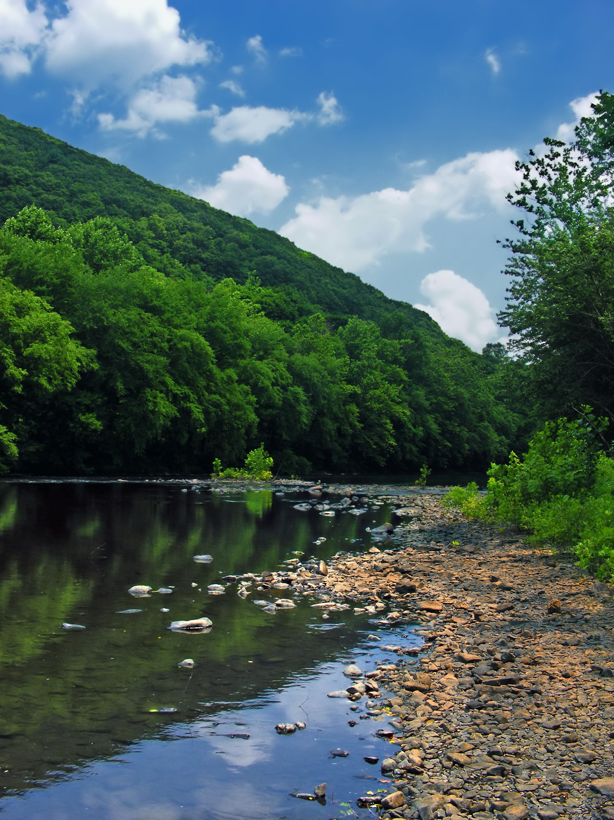
Schuylkill River
Furnace Bay
Tulpehocken Creek
Explore Pennsylvania waters
Top paddling waters
Popular Cities
Loading popular cities...
Explore near Conestoga River
Access points
Nearby waters
More in Pennsylvania

Smarter Paddling Starts in the App.
Paddleways gives you everything you need to plan smarter, paddle better, and own every trip from first launch to takeout.