Bush River
- Saltwater
- Tidal river
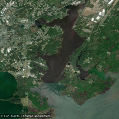
Bush River
- Saltwater
- Tidal river
- Sq. miles
- 11
- Boat Ramps
- 4
- Access Points
- 0
- Campsites
- 1
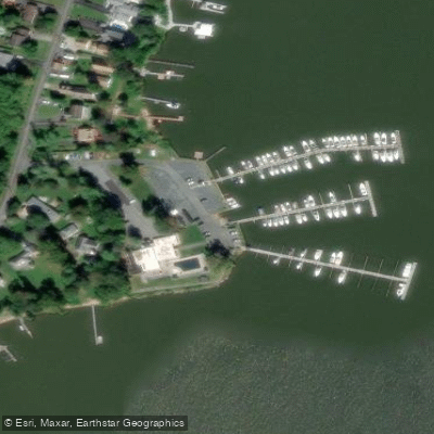
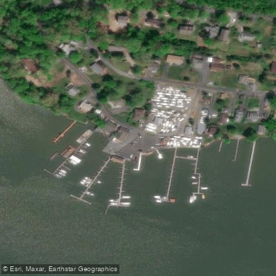
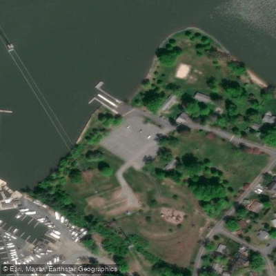
The Bush River is a tidal river feeding into the upper Chesapeake Bay near Edgewood and Abingdon, Maryland. It is characterized by a network of creeks and marshy inlets, with Otter Point Creek noted as a significant tributary offering endless nooks and crannies to explore. The river's aesthetic is defined by its marshy shoreline and historical significance, being part of the Captain John Smith Chesapeake National Historic Trail. A commemorative Maltese cross marker at Willowbyes on the eastern shore, just south of an Amtrak train bridge, marks a historical landing site. Paddling here involves planning around significant tidal currents, as the river is a saltwater tidal feature; one group advises paddling with a group for safety on these waters. Several public launch points provide access, including Flying Point Park in Edgewood, which offers a boat ramp, parking, and restrooms. Otter Creek Narina near Belcamp is another public dock launch described as beginner-friendly with mild current, featuring a boat ramp, parking, restrooms, and dock access from dawn to dusk. The Bush River Yacht Club also has a boat launch facility. Popular routes involve launching from points like Gablers Shore Marina, Flying Point, or Otter Creek to paddle to the Willowbyes historical marker. Group paddles often explore Otter Point Creek and the upper Bush River, with trips potentially covering five or more miles over three to four hours. The wider river sections near the Chesapeake Bay are exposed to wind and fetch, and paddlers share the water with powered vessels, necessitating awareness of boat traffic, especially near channels and the Amtrak bridge. The best seasons for paddling are generally from spring through fall, with summer and fall offering warm days and vibrant foliage. Facilities at the main launches are adequate, with paid or free parking, restrooms, and boat ramps commonly available. Safety regulations require that all vessels carry a personal flotation device, a whistle, and a rescue light.
Water access, boat ramps & amenities
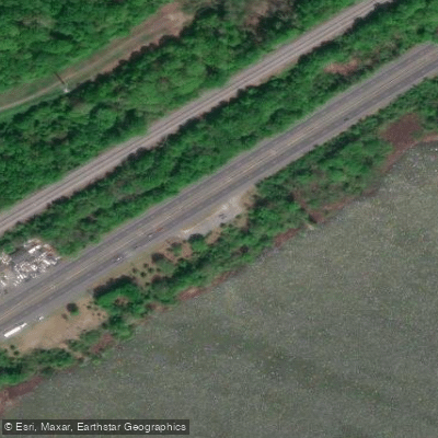
Learn how to get on Bush River. Uncover great paddling access points, boat ramps, and all the facilities you need for an unforgettable day on the water. Some locations shown may border or include private property. Always check property boundaries and applicable regulations before visiting. PaddleWays's Public & Private Land layer can help you plan your access with confidence.
Paddle smarter with real-time insights
Whether you're en route and conditions shift or you're looking for the best spot based on current flows, we enable you to make informed decisions on the fly.








Find Places to Paddle

Over 400,000 Places to Paddle
Every user gets free access to launch points, boat ramps, and public property parcels.


Tides, wind & water conditions (10 day forecast)
On open water, wind and tide matter as much as the weather. See the best times to paddle Bush River and check the marine forecast before you launch.
Loading tide predictions…
Paddling near Bush River
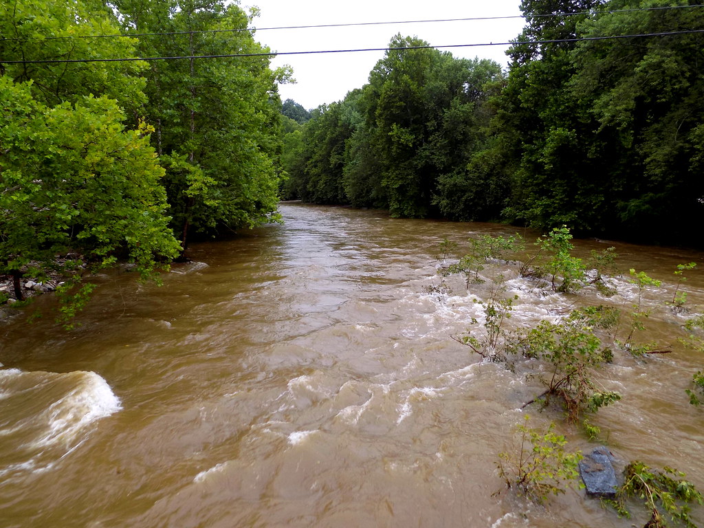
Patapsco River
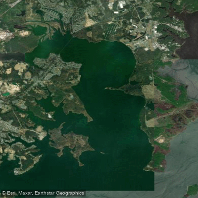
Gunpowder River
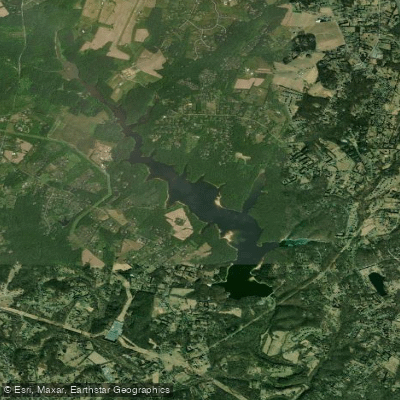
Triadelphia Reservoir

Patuxent River
Middle River
Lake Marburg

Susquehanna River
Curtis Bay

Potomac River
Explore Maryland waters
Top paddling waters
Popular Cities
Loading popular cities...
Explore near Bush River
Access points
Nearby waters
More in Maryland

Smarter Paddling Starts in the App.
Paddleways gives you everything you need to plan smarter, paddle better, and own every trip from first launch to takeout.