Penns Creek
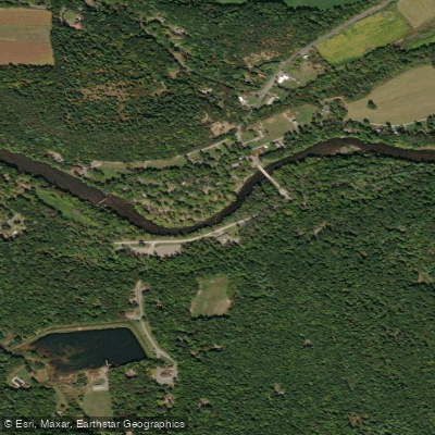
Penns Creek
- Boat Ramps
- 4
- Access Points
- 22
- Campsites
- 18
Penns Creek is Pennsylvania's longest limestone stream, flowing approximately 67 miles from its origin near Penns Cave in Centre County eastward to its confluence with the Susquehanna River near Selinsgrove. This scenic waterway begins as a small, cold mountain stream and gradually widens as it's joined by several major tributaries, including Sinking Creek, Elk Creek, and Pine Creek. The creek offers diverse paddling opportunities across its length, with sections suitable for beginners to experienced kayakers and canoeists. The upper reaches from Penns Cave to Coburn provide a more intimate creek experience, while the middle and lower sections offer wider waters and gentler currents. Overall difficulty ranges from Class I to III, with the most challenging rapids found in the Mountain Section between Coburn and Penns Creek town.
Penns Creek is best paddled in spring and early summer when water levels are optimal. Late summer and fall can see lower water levels, though the creek remains navigable in most sections. The surrounding landscape transitions from mountainous terrain in the upper reaches to rolling hills and agricultural lands as it approaches the Susquehanna. The creek is renowned for its excellent trout fishing, particularly for its green drake hatch in late May. Wildlife enthusiasts may spot bald eagles, herons, and various waterfowl along the banks. The corridor is rich in native plant species, including stands of hemlock and diverse wildflowers.
Key landmarks include Penns Cave itself, a unique water cavern at the creek's source, and the historic covered bridge in New Berlin. Popular access points include Coburn, Weikert, Glen Iron, New Berlin, and Penns Creek town, each offering amenities for paddlers.
Penns Creek holds significant historical importance, named after William Penn's younger brother John. The waterway played a crucial role in early settlement and industry in central Pennsylvania, with remnants of old mills still visible along its banks.
Safety considerations include checking water levels before paddling, as some sections can become challenging during high water. All paddlers should wear life jackets and be aware of potential strainers and submerged obstacles. For those seeking a multi-day adventure, the full length of Penns Creek can be paddled in 3-4 days, with numerous camping options along the way. This journey offers a comprehensive experience of central Pennsylvania's diverse landscapes and rich natural heritage.
Water access, boat ramps & amenities
Learn how to get on Penns Creek. Uncover great paddling access points, boat ramps, and all the facilities you need for an unforgettable day on the water. Some locations shown may border or include private property. Always check property boundaries and applicable regulations before visiting. PaddleWays's Public & Private Land layer can help you plan your access with confidence.
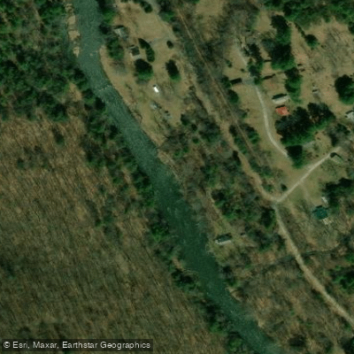
Ingleby Walk-in Access
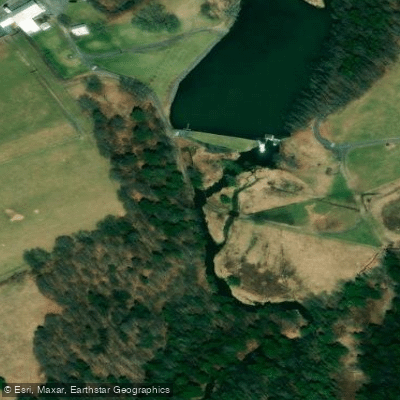
Penns Cavern Access
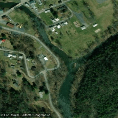
Coburn Access

Kline Road Bridge Access

Gregg Township Fire Company Access
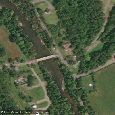
Kratzerville Access
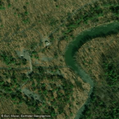
Poe Paddy Access
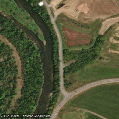
Penns Drive Access
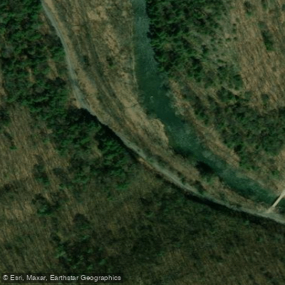
Tunnel Road Access

Bald Eagle State Forest Access
Paddle smarter with real-time insights
Whether you're en route and conditions shift or you're looking for the best spot based on current flows, we enable you to make informed decisions on the fly.








Find Places to Paddle

Over 400,000 Places to Paddle
Every user gets free access to launch points, boat ramps, and public property parcels.


Water and weather conditions (10 day forecast)
See the best times to paddle Penns Creek and check the forecast before you go.
Penns Creek at Penns Creek, PA
Paddling near Penns Creek
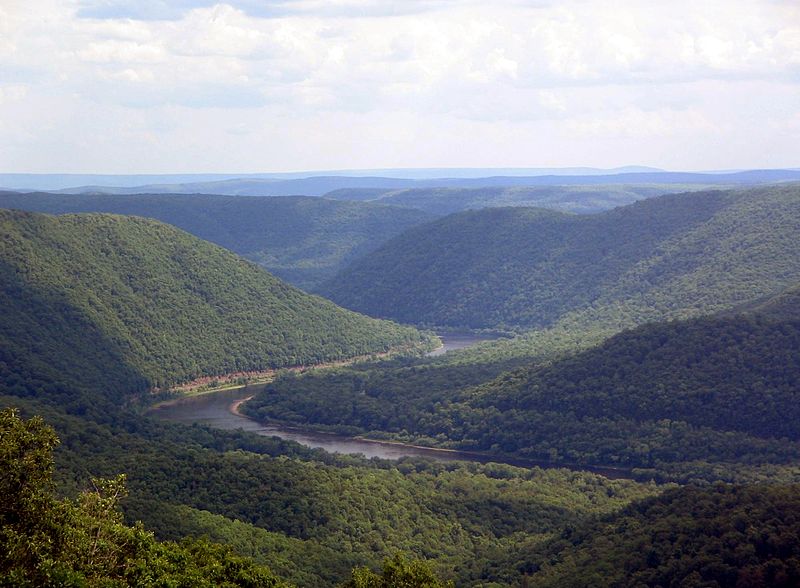
West Branch Susquehanna River
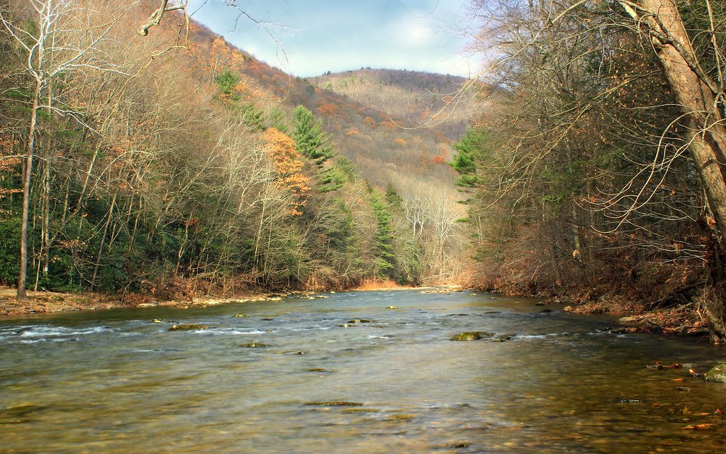
Lycoming Creek
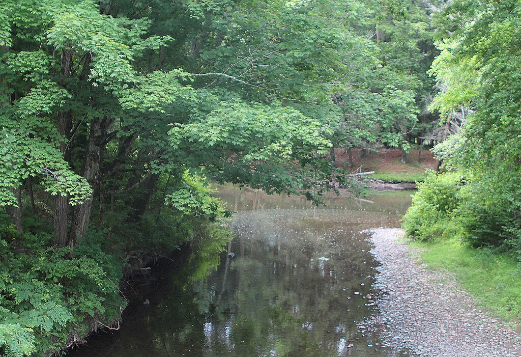
Pine Creek

Susquehanna River
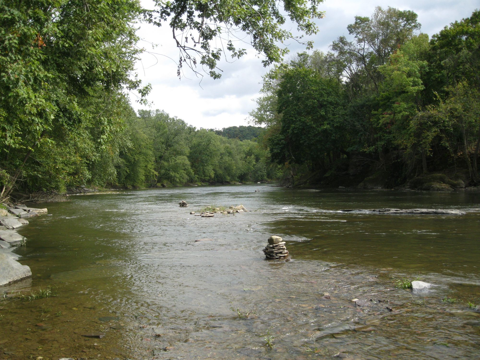
Fishing Creek
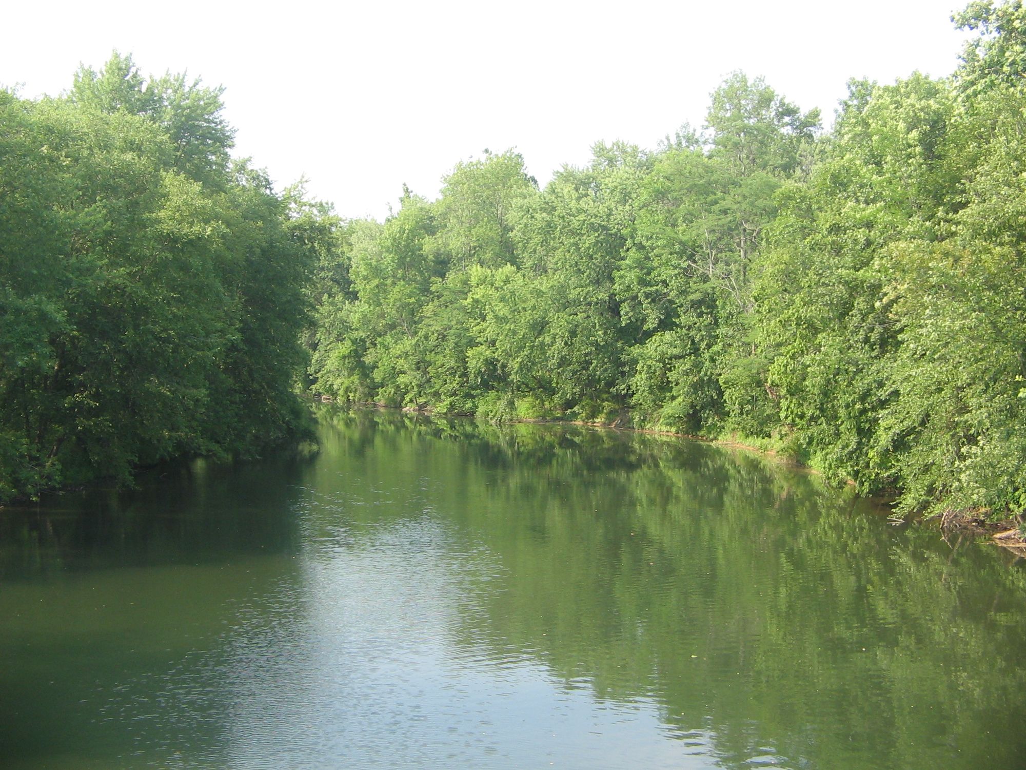
Bald Eagle Creek
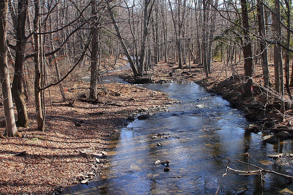
Little Pine Creek
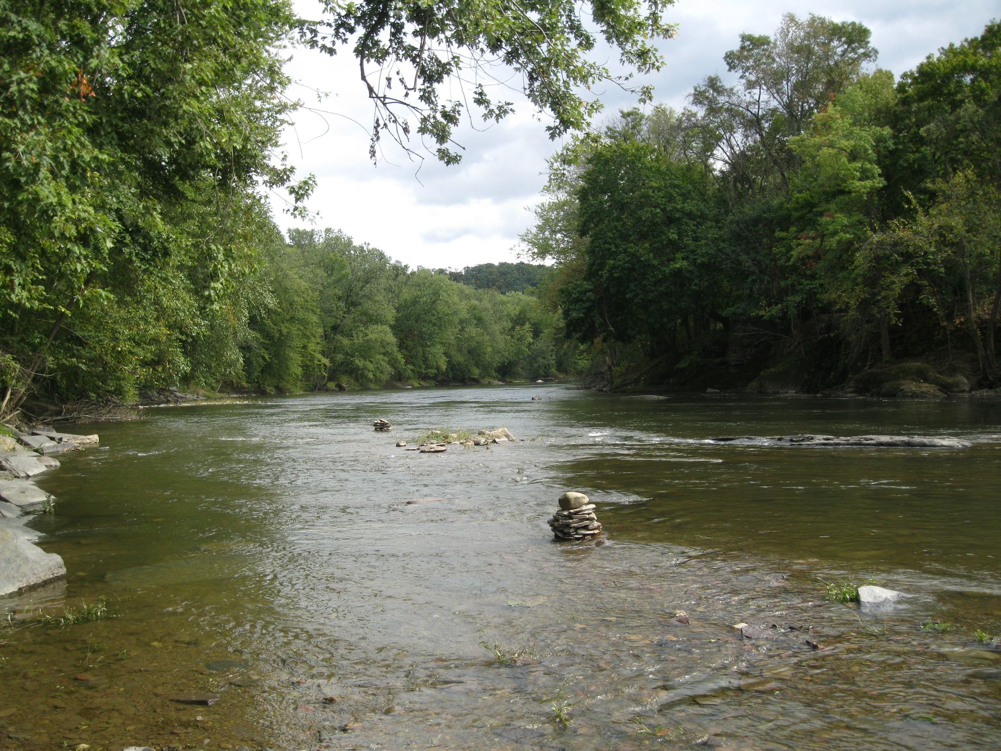
Fishing Creek
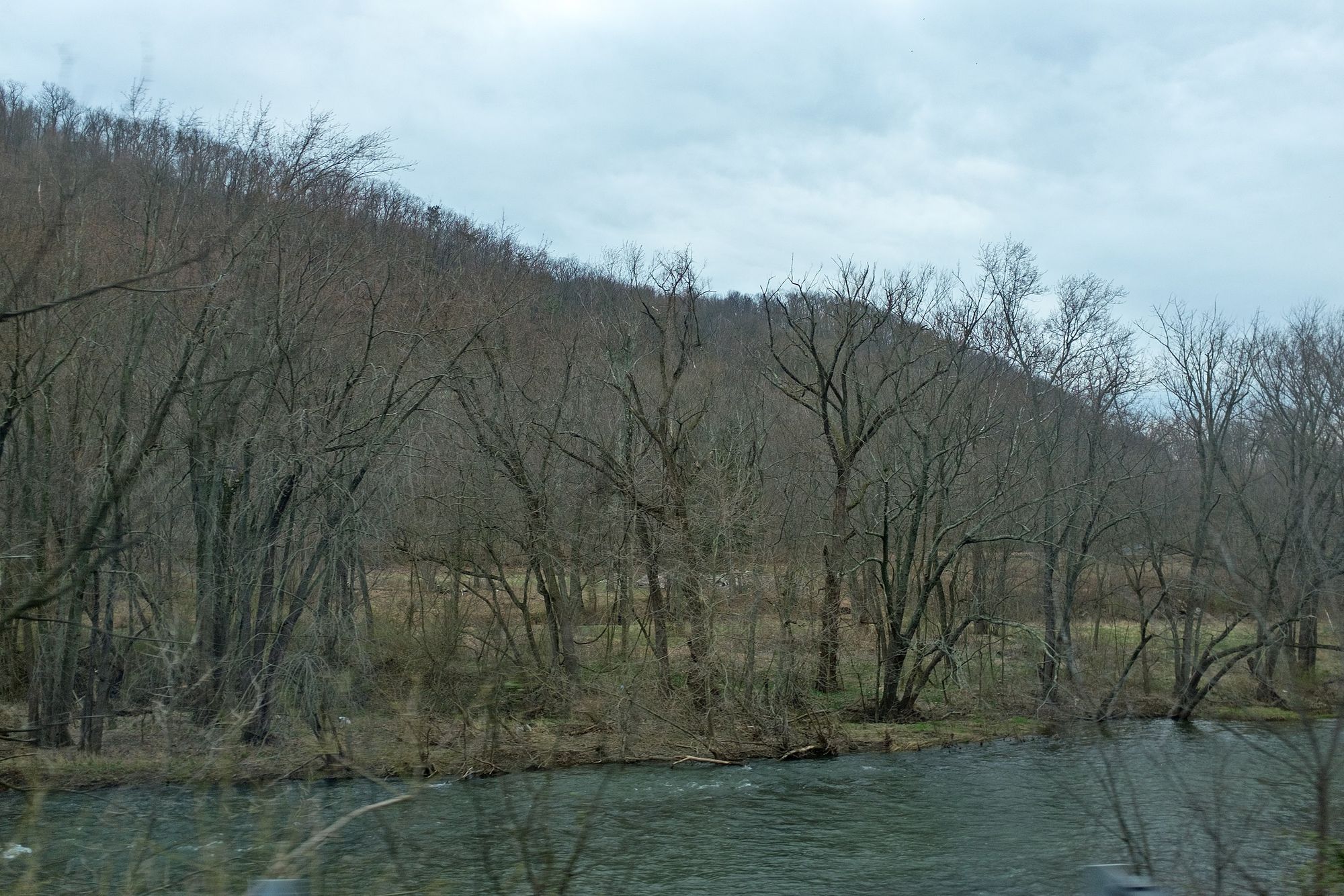
Juniata River
Explore Pennsylvania waters
Top paddling waters
Popular Cities
Loading popular cities...
Explore near Penns Creek
Access points
Nearby waters
More in Pennsylvania

Smarter Paddling Starts in the App.
Paddleways gives you everything you need to plan smarter, paddle better, and own every trip from first launch to takeout.